
Park · Virginia
Trails in Wolf Trap National Park for the Performing Arts
17 named trails · 5 miles · 1 with the Park Service's own write-up. The lines, trailheads and points are the Park Service's; the write-ups are the Service's own words; the climbing is read from USGS elevation along each line.
17 trails, A to Z.
Boy Scout Bridge
Cart Bridge
Cart Bridge Trail
Farm Pond Loop Connector
Meadow Trail
Path to Meadow Restroom
Paved Trail - Tunnel
Paved Trails
Ranger stations
Along the way Ranger Station
Plaza and Walkways - Theater Complex
Ranger stations
Along the way Ranger Station
Theatre-in-the-Woods Trail
Trail Bridge #1
Trap Rd Sidewalk
Unpaved Trails
Wolf Trap Trail
Picnic areas
Along the way West Lot Picnic Area
Explore the Outdoors at Wolf Trap the Park Service's write-up
30-90 Minutes · dogs allowed
Start Wolf Trap National Park for the Performing Arts
Take a Hike!
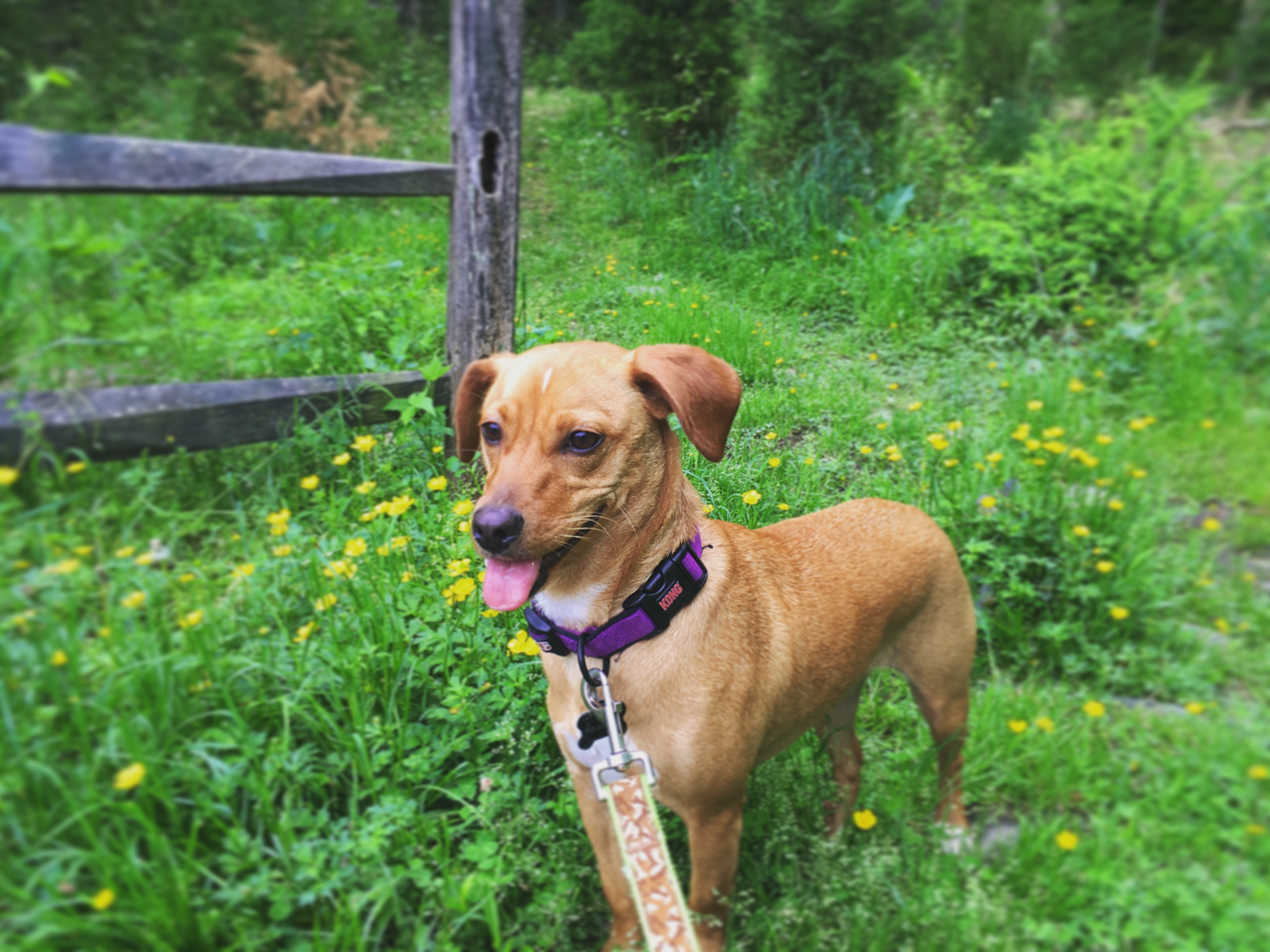
Explore the park using the Wolf Trap Trail to see more than just a show at Wolf Trap. Take your pup or meet up with friends to go on a hike at Wolf Trap National Park for the Performing Arts . There are two overlapping trails in the park that provide opportunities for visitors to hike and bird watch.
Trail maps are available at the Ranger Station and available for download . Follow the blazes or posts to navigate the trails. Please note that swimming, wading, hunting, and camping are not permitted in the park.
Accessibility Both the Wolf Trap TRACK Trail and the Wolf Trap Trail have steep inclines, rugged terain and are not wheelchair accessible.
Wolf Trap Trail Spur to Lot 4
Wolf Trap Trail Spur to Main Circle Rd
2 more mapped segments without a name are on the map, not in the list.
About these trails
The lines are the National Park Service's public trails layer, the trailheads and the waterfalls, views, peaks and historic places along them the Service's public points of interest, read 2026-10-14 and simplified for the map. The write-ups are the Service's own "things to do", unedited. Heights come from USGS 3DEP through Terrain Tiles on AWS (Mapzen/Tilezen), read along each line and rounded; a short trail on steep ground can be off by a few tens of feet. Closures change: check the park's own site before you go.