
National Historical Park · Guam
Trails in War In The Pacific National Historical Park
9 named trails · 1 miles · 1 trailhead · 2 with the Park Service's own write-up. The lines, trailheads and points are the Park Service's; the write-ups are the Service's own words; the climbing is read from USGS elevation along each line.
9 trails, A to Z.
Asan Bay Overlook Path
ViewsHistory
Along the way Asan Bay Overlook Memorial Asan Bay Overlook
Asan Beach Paved Trail closed
Asan Beach Restrooms
History
Along the way Asan Point Japanese Gun Emplacement
Trailhead Asan Ridge Trailhead 6 ft Drive there
Asan Point Trail
Asan Ridge Trail
ViewsHistory
Along the way Asan Japanese Emplacement Asan Point Japanese Gun Emplacement Double Gun Emplacement on Asan Ridge Viewpoint
Trailhead Asan Ridge Trailhead 6 ft Drive there
Asan Ridge Trail Hike the Park Service's write-up
45-60 Minutes · dogs allowed
Start Asan Beach, Asan, Guam
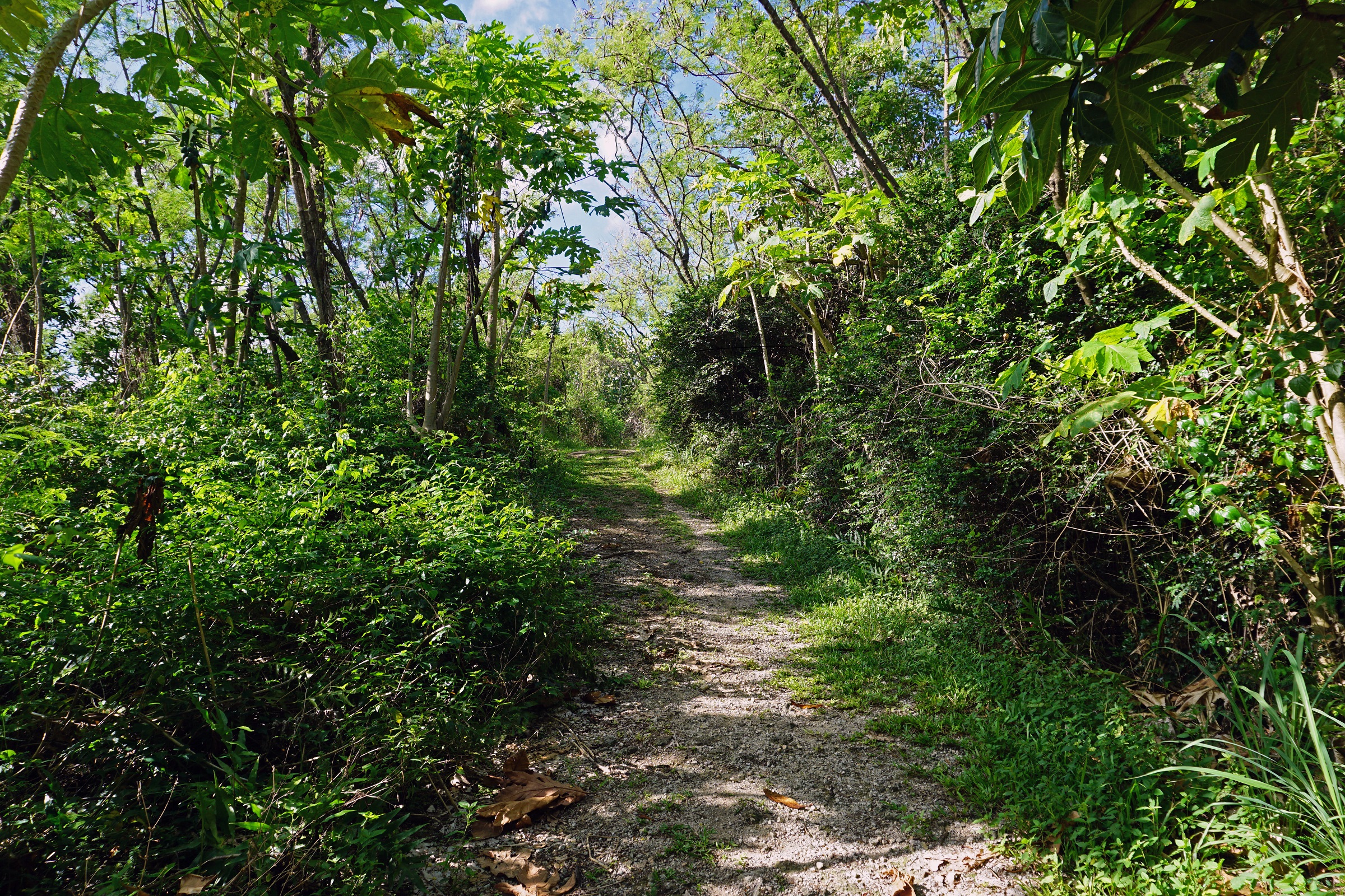
The CHamoru have been using local plants on Guam for food (nengkanno’), medicine (åmot), and other traditional practices for approximately 3,500 years. Along the Asan Ridge Trail, located in the Asan Beach Unit , are a number of culturally significant plants. Experience the Asan Ridge Trail in depth, discovering the unique plants in this limestone forest or taking in the breathtaking view of the Asan Invasion Beach from the top of Asan Ridge.
Learn more about points of interest and native plants growing along the trail on our website.
Accessibility The trail is cleared with a grassy and uneven limestone surface. The trail has a section with a concrete staircase.
Ga'an Point Path
History
Along the way Ga'an Point Memorial
Liberators' Monument Walk
Piti Guns Trail
Piti Guns Hike the Park Service's write-up
20-30 Minutes · dogs allowed
Start Piti Guns Unit
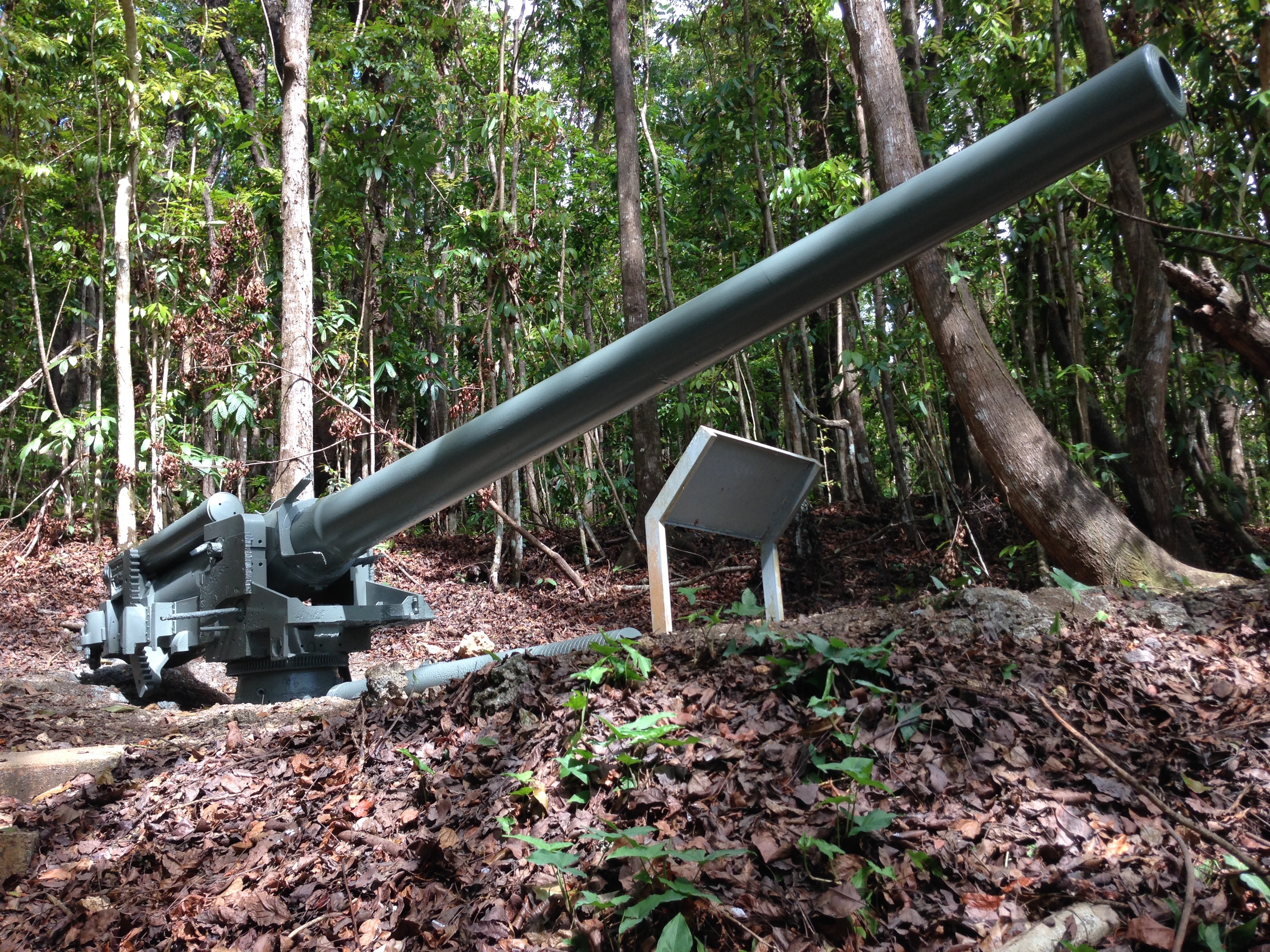
A short and easy hike through the jungle will lead you to three Japanese Vicker type 140 mm coastal defense guns. During the Japanese occupation of Guam from 1941-1944, the Japanese built up defensive positions on the island. The CHamoru population was forced to work in building up these defenses, and did so here at Piti Guns . This same area was used as an Experimental Agricultural Station. The station was established in 1909 and funded by the USDA.
Accessibility The cleared trail includes concrete staircase sections as well as uneven limestone surface.
About these trails
The lines are the National Park Service's public trails layer, the trailheads and the waterfalls, views, peaks and historic places along them the Service's public points of interest, read 2026-10-14 and simplified for the map. The write-ups are the Service's own "things to do", unedited. Heights come from USGS 3DEP through Terrain Tiles on AWS (Mapzen/Tilezen), read along each line and rounded; a short trail on steep ground can be off by a few tens of feet. Closures change: check the park's own site before you go.