Foot Path
Exhibits
Along the way Mammoth Dig Site

National Monument · Texas
2 named trails · 1 miles · 1 with the Park Service's own write-up. The lines, trailheads and points are the Park Service's; the write-ups are the Service's own words; the climbing is read from USGS elevation along each line.
2 trails, A to Z.
Exhibits
Along the way Mammoth Dig Site
dogs allowed
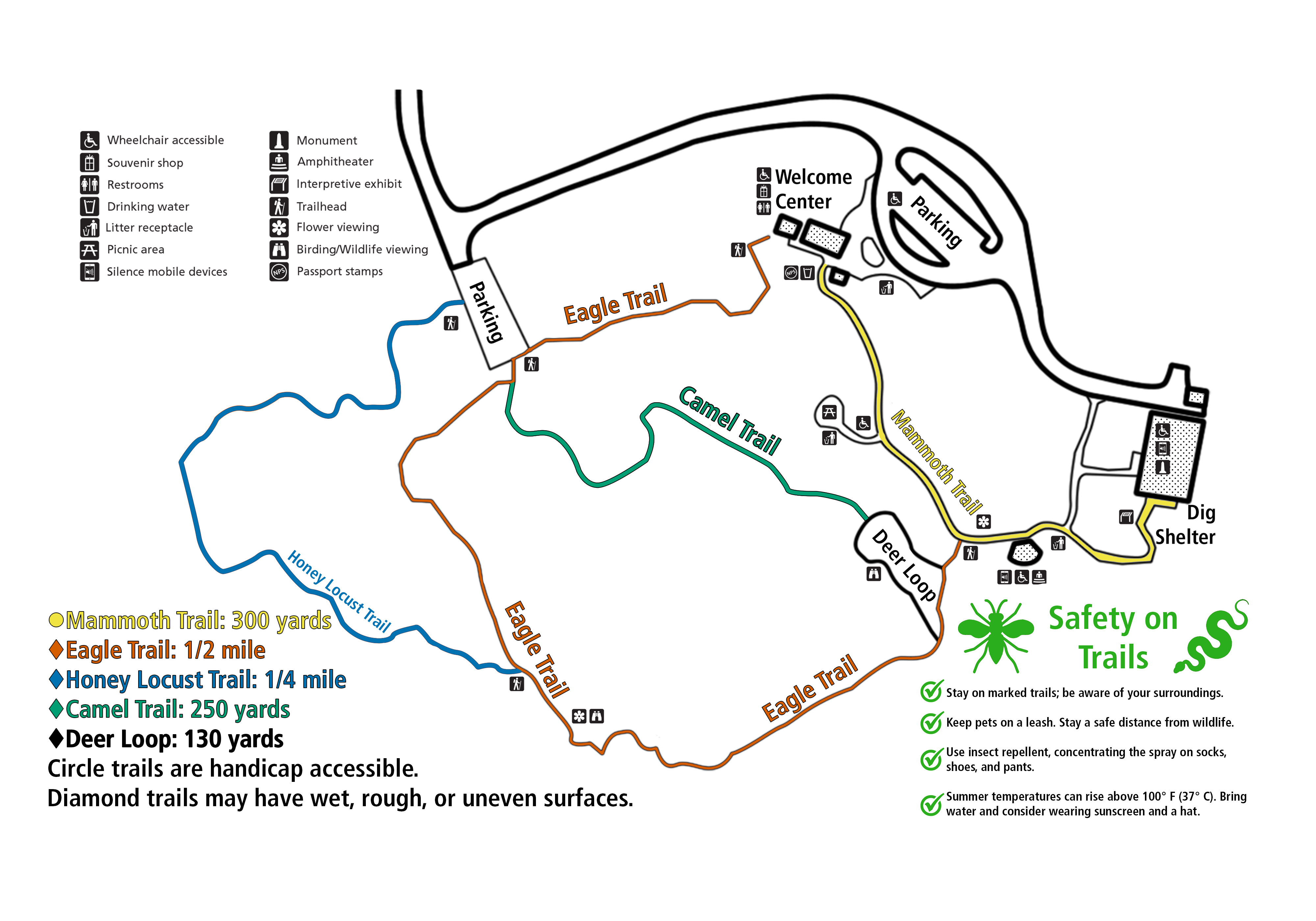
Most visitors come to Waco Mammoth National Monument to see the ice age fossils in the Dig Shelter. However, the monument is also a great place to enjoy 21st century plants and animals. There are several trails of varying lengths. Walk one of the shorter loop trails or link two or more trails together for a longer hike.
Trail Safety
Stay on marked trails. Be aware of your surroundings.
Keep pets on a leash. Stay a safe distance from wildlife.
Use insect repellent, concentrating the spray on socks, shoes, and pants.
Summer temperatures can rise above 100° F (37° C). Bring water, and consider wearing sunscreen and a hat.
Accessibility Mammoth Trail from the Wecome Center to the Dig Shelter is a wide, level, paved trail. The remaining trails are narrow, dirt hiking trails. They may have wet, rough, or uneven surfaces.
dogs allowed
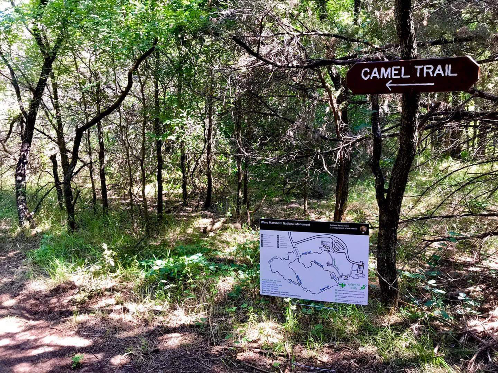
This 200 yard trail branches off the Deer Loop Trail. Start at the Trail Head near the amphitheater. Take the first right onto Deer Loop Trail and reach the Camel Trail in a few yards.
Accessibility This trail is a narrow, dirt and gravel hiking trail. It may have wet, rough, or uneven surfaces. It is not wheelchair accessible.
dogs allowed
This 1/4 mile trail branches off the Eagle Trail. Start at the Trail Head near the amphitheater and follow Eagle Trail approximately 1/4 mile to reach the Honey Locust Trail.
Accessibility This trail is a narrow, dirt and gravel hiking trail. It may have wet, rough, or uneven surfaces. It is not wheelchair accessible.
dogs allowed

A 300 yard paved walk from the Welcome Center to the Dig Shelter.
Accessibility This flat, paved trail is wheelchair accessible.
Write-ups that name no single mapped trail, in the Service's words.
The lines are the National Park Service's public trails layer, the trailheads and the waterfalls, views, peaks and historic places along them the Service's public points of interest, read 2026-10-14 and simplified for the map. The write-ups are the Service's own "things to do", unedited. Heights come from USGS 3DEP through Terrain Tiles on AWS (Mapzen/Tilezen), read along each line and rounded; a short trail on steep ground can be off by a few tens of feet. Closures change: check the park's own site before you go.