National Historic Site · Oklahoma

Trails in Washita Battlefield National Historic Site

2 named trails · 2 miles · 1 trailhead · 1 with the Park Service's own write-up. The lines, trailheads and points are the Park Service's; the write-ups are the Service's own words; the climbing is read from USGS elevation along each line.

Open on the parks mapEvery park with trailsPark on nps.gov

2 trails, A to Z.

Battlefield Trail

1.1 mi one way · 50 ft of descent · 1,931 ft–1,989 ft · concrete, earth surface · hiking

Views

1,987 ft 1,934 ft · 0.4 mi high 1,989 ft

Along the way Washita Battlefield Overlook ADA Pavilion

Trailhead Trailhead 1,988 ft Drive there

Walk Washita Battlefield Park Trail the Park Service's write-up

30-90 Minutes · no dogs

Start Washita Battlefield Overlook
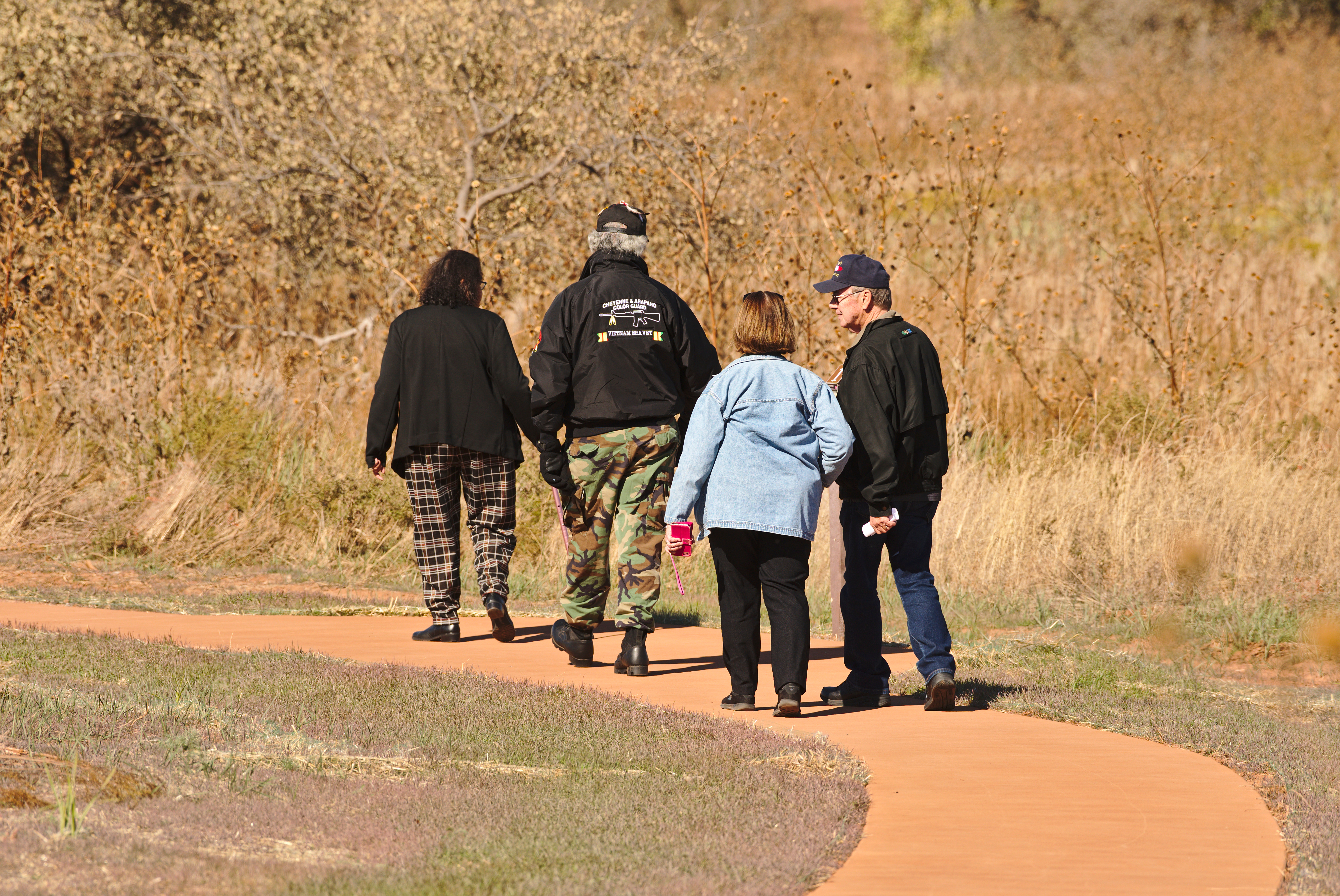
Four people walking a paved trail through a grasslands

The park trail is a 1.5 mile loop around the battlefield where Black Kettle's village was located, taking you from the overlook, down to the Washita River and back. The trail is half paved and ADA/ABA accessible, providing access to the Prayer Tree along the Washita River and the Pony Kill site, while the second half of the loop is an unimproved dirt and grass trail. Along the way are 15 stops that you can follow with the trail guide (or audio guide) to learn about what happened here at the Washita.

The trailhead is located at the park overlook, a 1/2 mile west of the visitor center along Hwy. 47A.

The trail receives no winter maintenance so snow and ice may be present following winter storms.

Accessibility Half of the trail is a paved ADA/ABA accessible trail, providing access to the Prayer Tree along the Washita River and the Pony Kill site, while the second half is an unimproved dirt and grass trail.

This hike on nps.gov

NFS Trail

0.5 mi one way · about 30 ft of climbing · 1,958 ft–1,999 ft · concrete surface · hiking

Picnic areasVisitor centers

1,999 ft 1,987 ft · 0.4 mi high 1,999 ft

Along the way Picnic Area Picnic Area Picnic Area Visitor Center

About these trails

The lines are the National Park Service's public trails layer, the trailheads and the waterfalls, views, peaks and historic places along them the Service's public points of interest, read 2026-10-14 and simplified for the map. The write-ups are the Service's own "things to do", unedited. Heights come from USGS 3DEP through Terrain Tiles on AWS (Mapzen/Tilezen), read along each line and rounded; a short trail on steep ground can be off by a few tens of feet. Closures change: check the park's own site before you go.