
National Park · Minnesota
Trails in Voyageurs National Park
14 named trails · 53 miles · 9 with the Park Service's own write-up. The lines, trailheads and points are the Park Service's; the write-ups are the Service's own words; the climbing is read from USGS elevation along each line.
14 trails, A to Z.
Beast Lake Traill
Black Bay Beaver Pond Hiking Trail
Hike Black Bay Beaver Pond Trail the Park Service's write-up
30-60 Minutes · no dogs
Start Near Rainy Lake Visitor Center
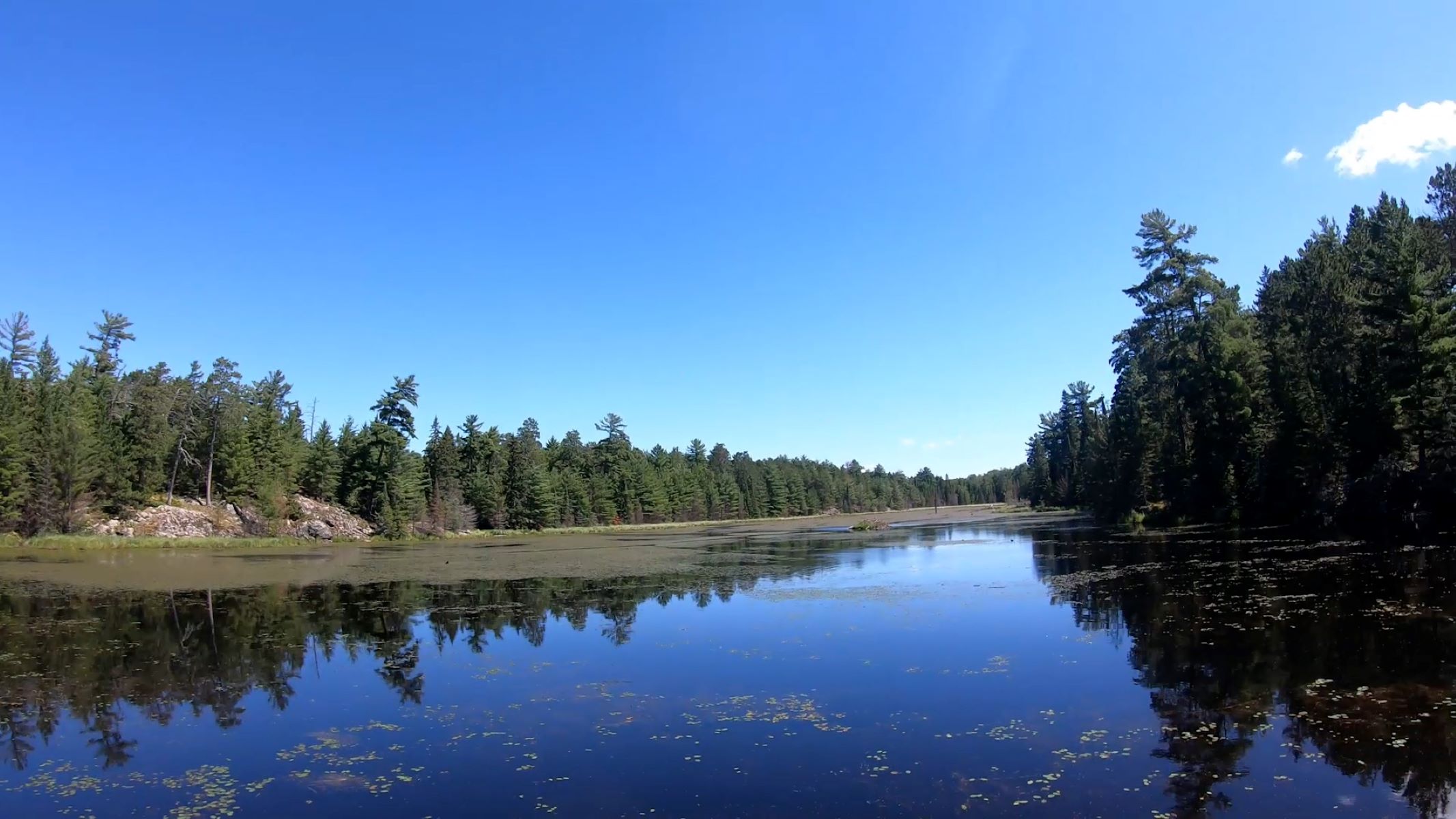
Watch this video timelaspe of hike to an active beaver pond!
All back country trail heads are only accessible by boat.
Take a boat one mile from the Rainy Lake Visitor Center and hike this trail through northern pines, deciduous trees, and across rock ridges to a scenic active beaver pond.
Difficulty: Moderate
Hiking Distance 1.2 mile (1.9 km) round trip
Restroom: Vault toilet is available near the trailhead
Download map.
Pets Pets are not allowed on trails at Voyageurs national Park to prevent the possible transmission of diseases to the wolf population.
Accessibility This narrow dirt trail crosses rocks and roots. Although most of the trail has small up and down grades, some sections have short steep climbs and descents.
Blind Ash Bay Trail
Hike Blind Ash Bay Trail the Park Service's write-up
1-3 Hours · no dogs
Start Near Ash River Visitor Center
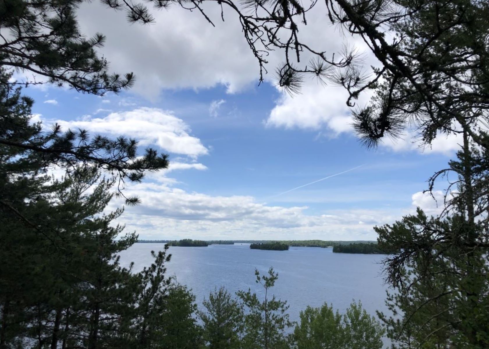
Watch a video of the Blind Ash Bay Trail before you go!
This narrow, winding, rocky trail exposes users to the wonders of the boreal forest. This path is great for birding. It is frequented by deer and other wildlife. From closed in forest to post card worthy views of Kabetogama Lake, this lollipop loop trail has it all.
Difficulty: Moderate
Hiking Distance: 2.9 miles loop (4.7 km)
Download map.
Pets Pets are not allowed on trails at Voyageurs national Park to prevent the possible transmission of diseases to the wolf population.
Accessibility This moderate hike is not accessible due to an uneven trail surface, exposed roots and rocks, and inclines/declines. The first section of the trail is the steepest. This section can be skipped by taking the Kabetogama Lake Overlook trail and continuing on the Blind Ash Bay Trail.
Hike Kabetogama Lake Overlook Trail the Park Service's write-up
10-30 Minutes · no dogs · Spring, Summer, Fall
Start Near Ash River Visitor Center
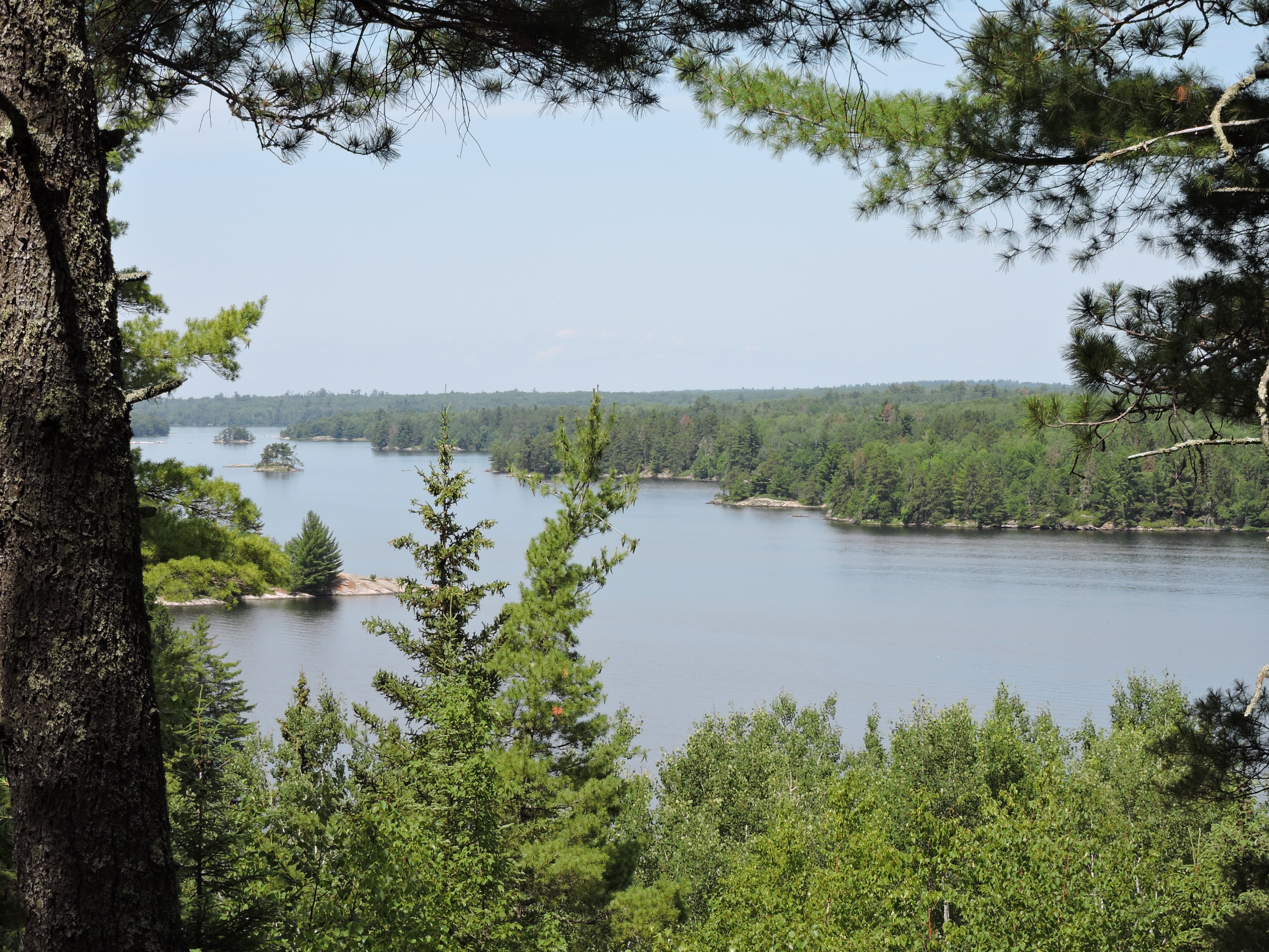
This short handicap accessible trail takes you through a pine forest to a viewpoint where you can sit on a bench and see Kabetogama Lake framed by the trees.
Difficulty: Easy
Hiking Distance: 0.4 mile (0.6 km) total for round trip
Pets Pets are not allowed on trails at Voyageurs national Park to prevent the possible transmission of diseases to the wolf population.
Accessibility The trail is handicap accessible. It is a 4 foot wide crushed gravel trail with a small upward slope or the first part. There is one handicap parking space in the parking lot. The accessible trailhead is in the same corner of the parking lot.
Brown Lake Traill
Cruiser Lake Trail
Hike Anderson Bay Loop the Park Service's write-up
90-150 Minutes · no dogs · Spring, Summer, Fall
Start Anderson Bay on the Kabetogama Peninsula
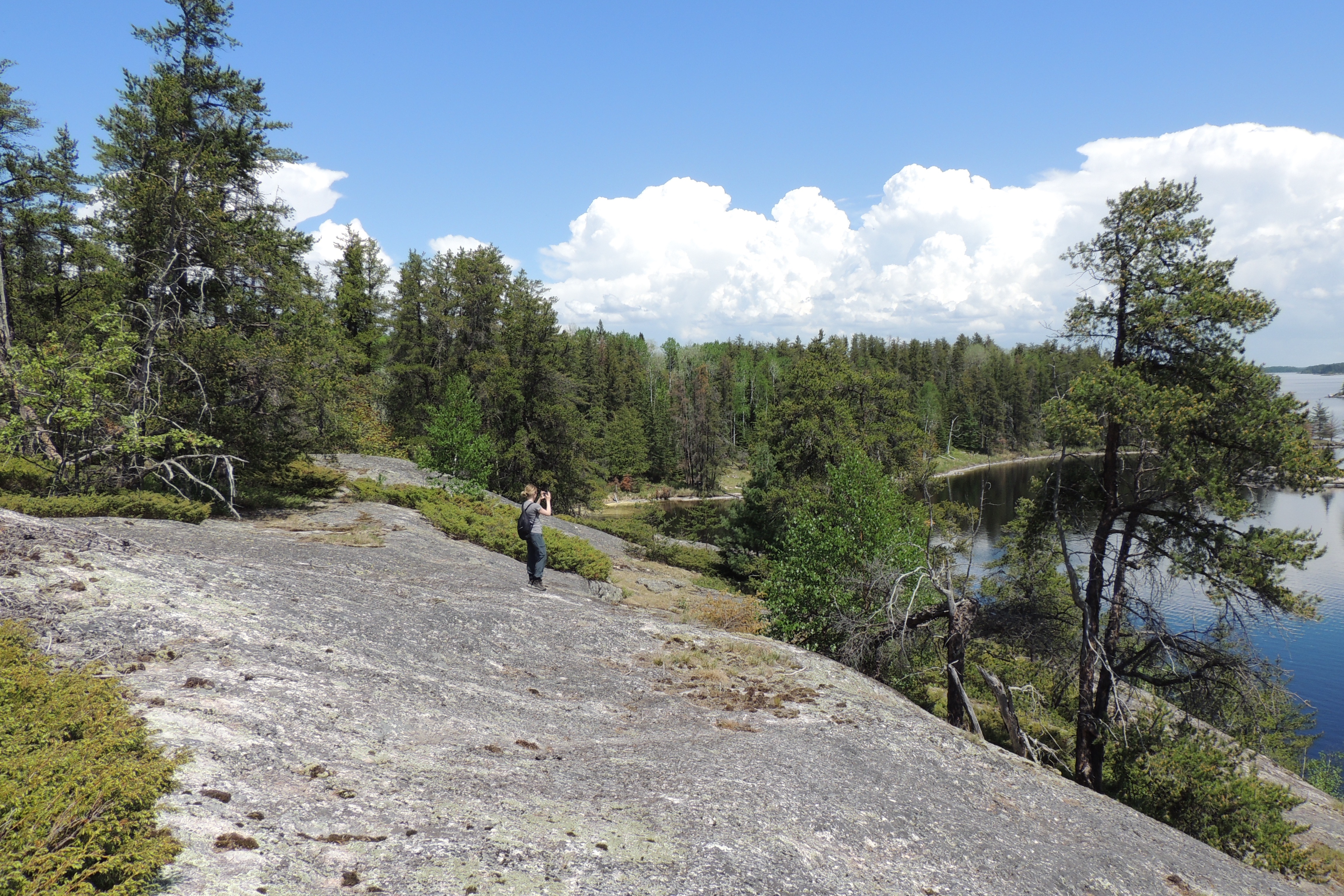
All back country trail heads are only accessible by boat. The trailhead for this trail is a 19 mile boat ride from Rainy Lake Visitor Center.
This trail takes you through the forest past rocky clearings and beaver ponds to spectacular views of Rainy Lake form the shoreline and Anderson Bay from the top of the cliffs.
Difficulty: Strenuous
Hiking Distance: 2.5 miles (4.0 km) loop including hiking to the trail start from the Anderson Bay Dock
Restroom: A vault toilet is available near the start of the trail
Pets Pets are not allowed on trails at Voyageurs national Park to prevent the possible transmission of diseases to the wolf population.
Accessibility This steep trail consists of a narrow dirt path over rocks and roots and sections of uneven rock. Rocky areas can be very slick after a rain.
Hike the Cruiser Lake Trail the Park Service's write-up
4-8 Hours · no dogs · Spring, Summer, Fall
Start On the Kabetogama peninsula
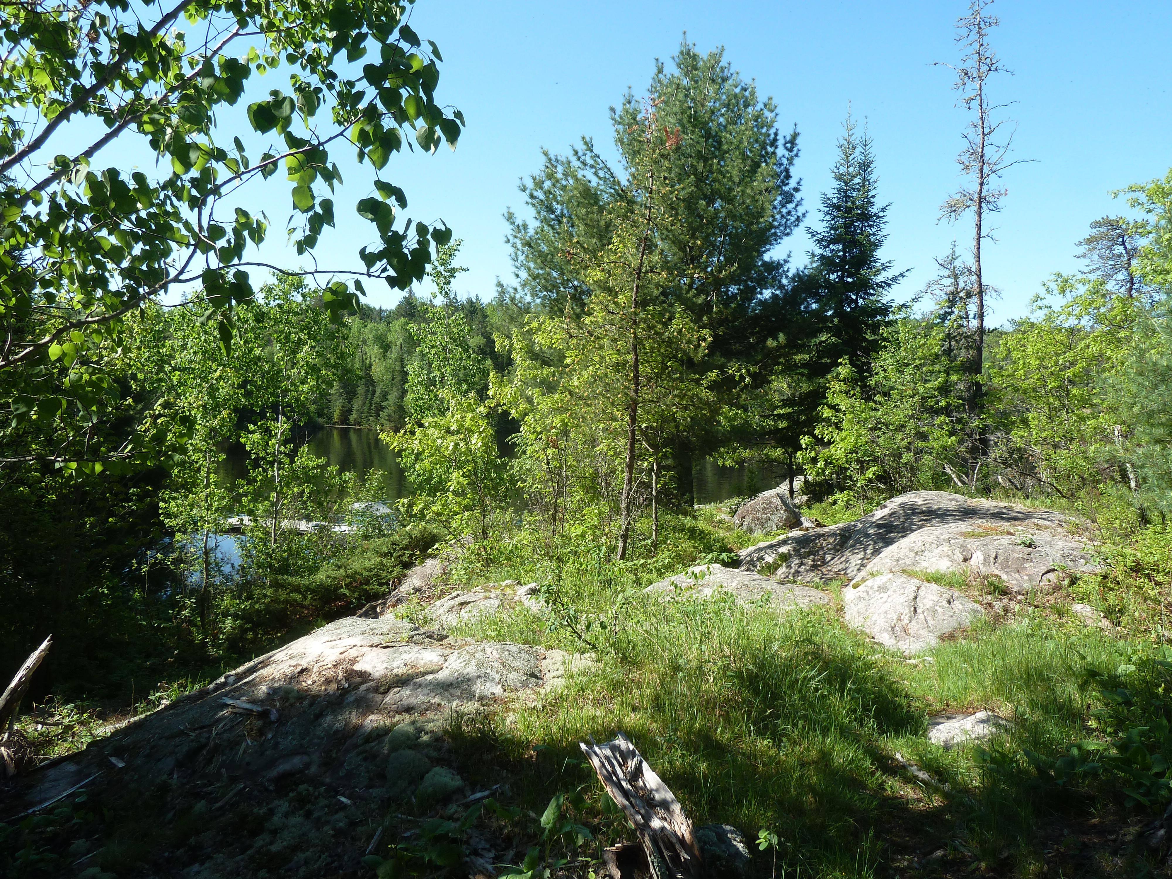
All backcountry trailheads are only accessible by boat.
This rugged trail crosses over the peninsula, up rocky cliffs and down into remote wetland areas. See parts of the park many people do not visit. Start your hike either at Anderson Bay on the Rainy Lake side or Lost Bay on the Kabetogama side. Reserve a backcountry campsite to turn this into a multi-day trip. Hiking this trail increases your chances of spotting a moose or hearing the howl of a wolf.
Difficulty: Strenuous
Hiking Distance: 8.0 mile (12.9 km) one way trip. Other nearby trails can be added on.
Restrooms: Vault toilets are available at both trailheads
Pets Pets are not allowed on trails at Voyageurs national Park to prevent the possible transmission of diseases to the wolf population.
Accessibility This strenuous dirt trail has many steep climbs and descents. Rocks and roots are common on this narrow trail. Occasional downed trees may be encountered. Include travel time to and from the trailhead when planning to hike this trail.
Echo Bay Hiking Trail
Hike Echo Bay Trail the Park Service's write-up
40-120 Minutes · no dogs
Start Near Kabetogama Lake Visitor Center
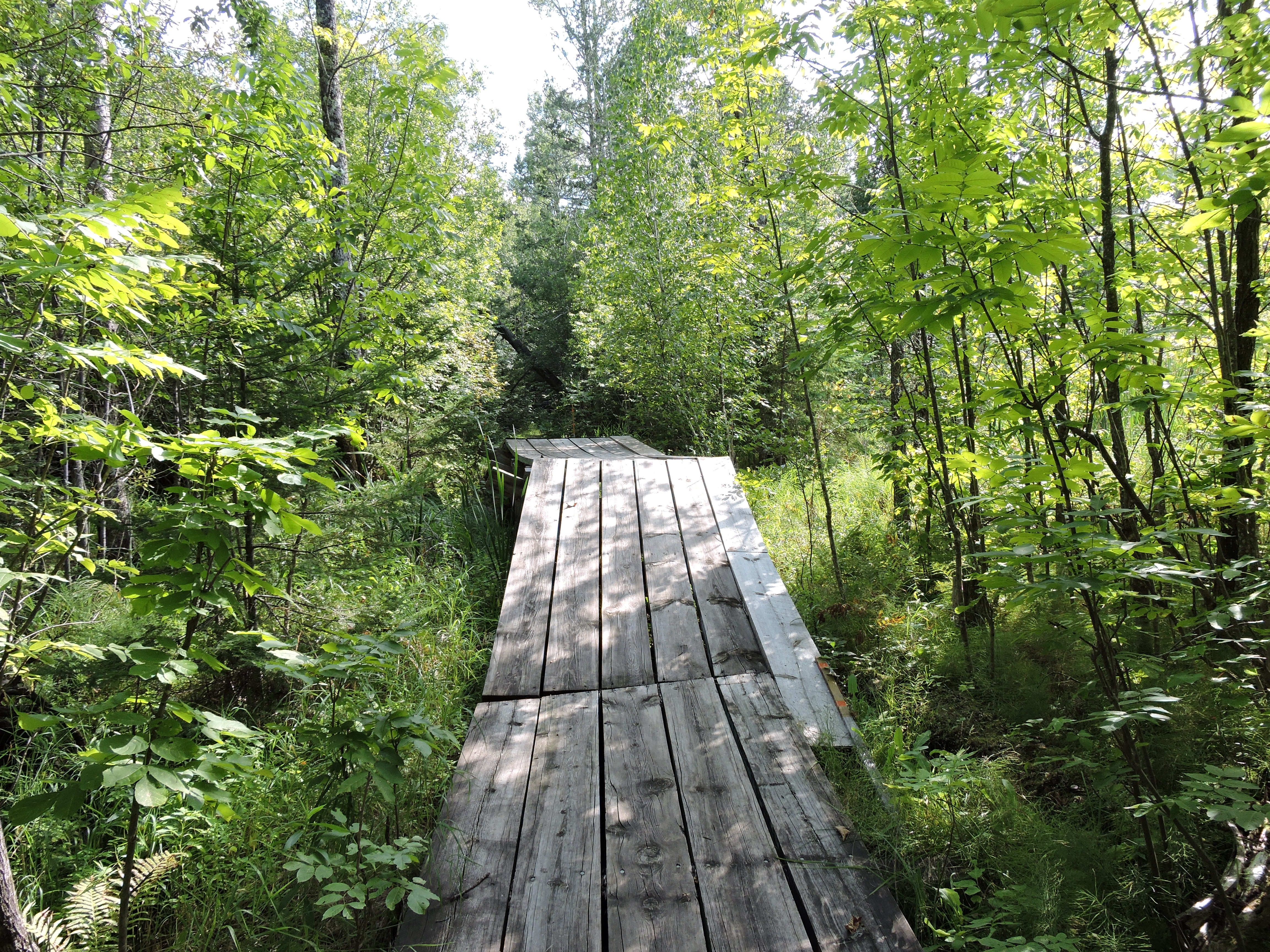
This wide trail showcases the transition between deciduous and boreal forests as you pass through lowlands and rocky outcrops. With views of wetlands created by the engineering genius of the North American Beaver, and dense forest, the trail is popular with birders. Sightings from warblers to woodpeckers and even raptors are common.
Difficulty: Easy
Hiking Distance: 1.5 mile (2.4 km)2.5 mile(4.0 km) loop
Restroom: A vault toilet is located by the trailhead
Download map.
Pets Pets are not allowed on trails at Voyageurs national Park to prevent the possible transmission of diseases to the wolf population.
Accessibility This is a wide trail with exposed roots and rocks and varying grade of incline and decline.
Kab-Ash Hiking Trail
Hike Beaver Pond Overlook Trail the Park Service's write-up
10-30 Minutes · no dogs
Start Near Ash River Visitor Center
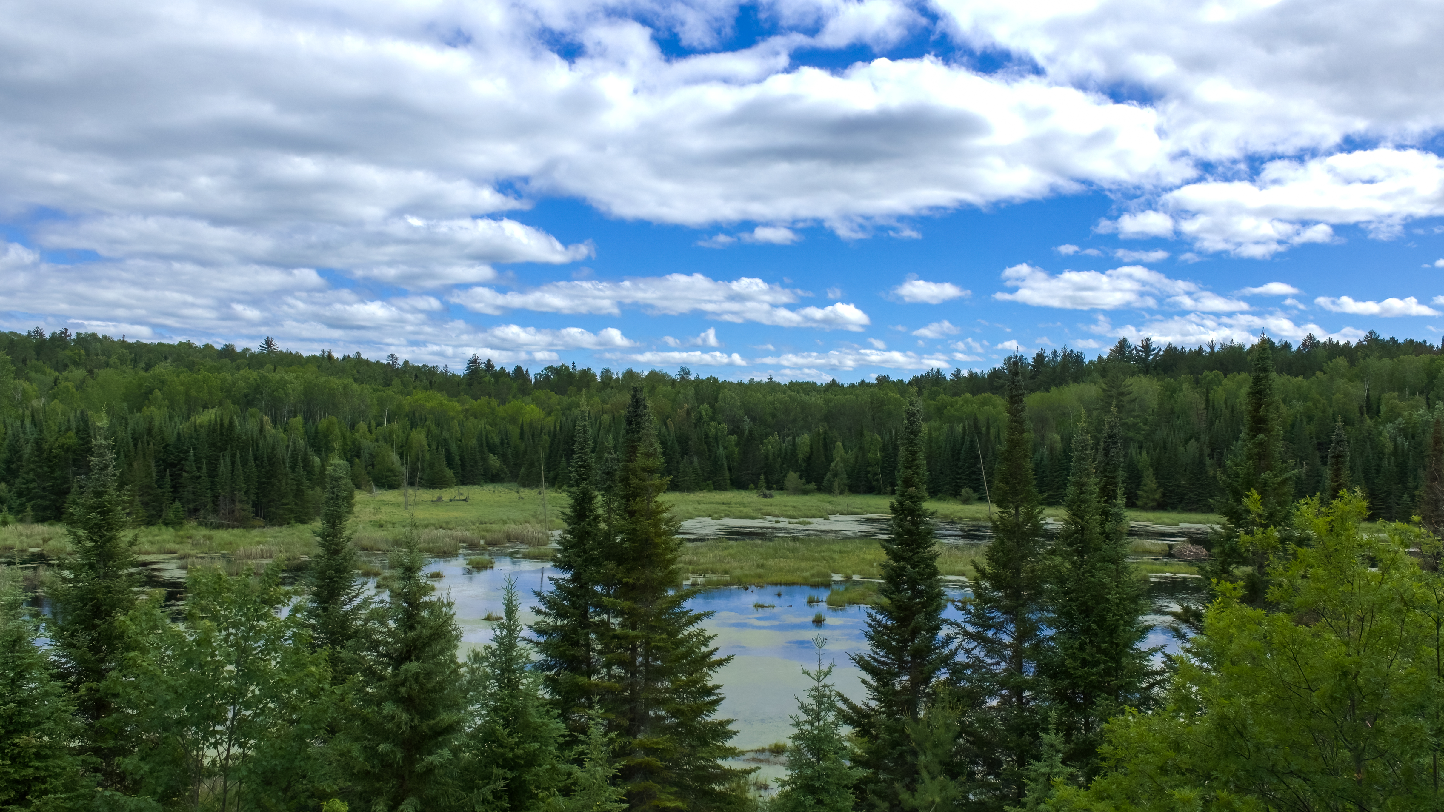
Experience a timelaspe video of the Beaver Pond Overlook Trail!
A short uphill hike through an aspen and pine forest leads to a rocky outcrop high above a beaver pond. Beavers are active active in this pond and this trail also provides great birding opportunities, and the possibility of spotting large wildlife. Early morning and late evening are the best viewing times for wildlife.
Difficulty: Moderate
Hiking Distance: 0.4-mile (0.6-km), total for round trip
Restrooms: A vault toilet is located just after the trail start
Download map.
Pets Pets are not allowed on trails at Voyageurs national Park to prevent the possible transmission of diseases to the wolf population.
Accessibility The trail starts as a 4 foot wide flat gravel path before the final section which includes stairs and walking on sloped rock. A railing runs alongside most of the climb. The parking space closest to the trailhead is reserved for handicapped visitors.
Kab-Ash Trail
Hike Kab-Ash Trail the Park Service's write-up
1-5 Days · no dogs
Start Near Ash River Visitor Center, Ash River Community, Ash River Trail, Near Kabetogama Lake Visitor Center
Please note: The Salmi Road entrance to the Kab-Ash Trail in the Kabetogama community is closed. Access to the trail remains open at trailheads along the Ash River Trail (County Road 129), on the Meadwood Road that leads to the Ash River Visitor Center, and at the eastern most terminus of the trail within the community of Ash River. Please check with a visitor center for details on closures prior to hiking.
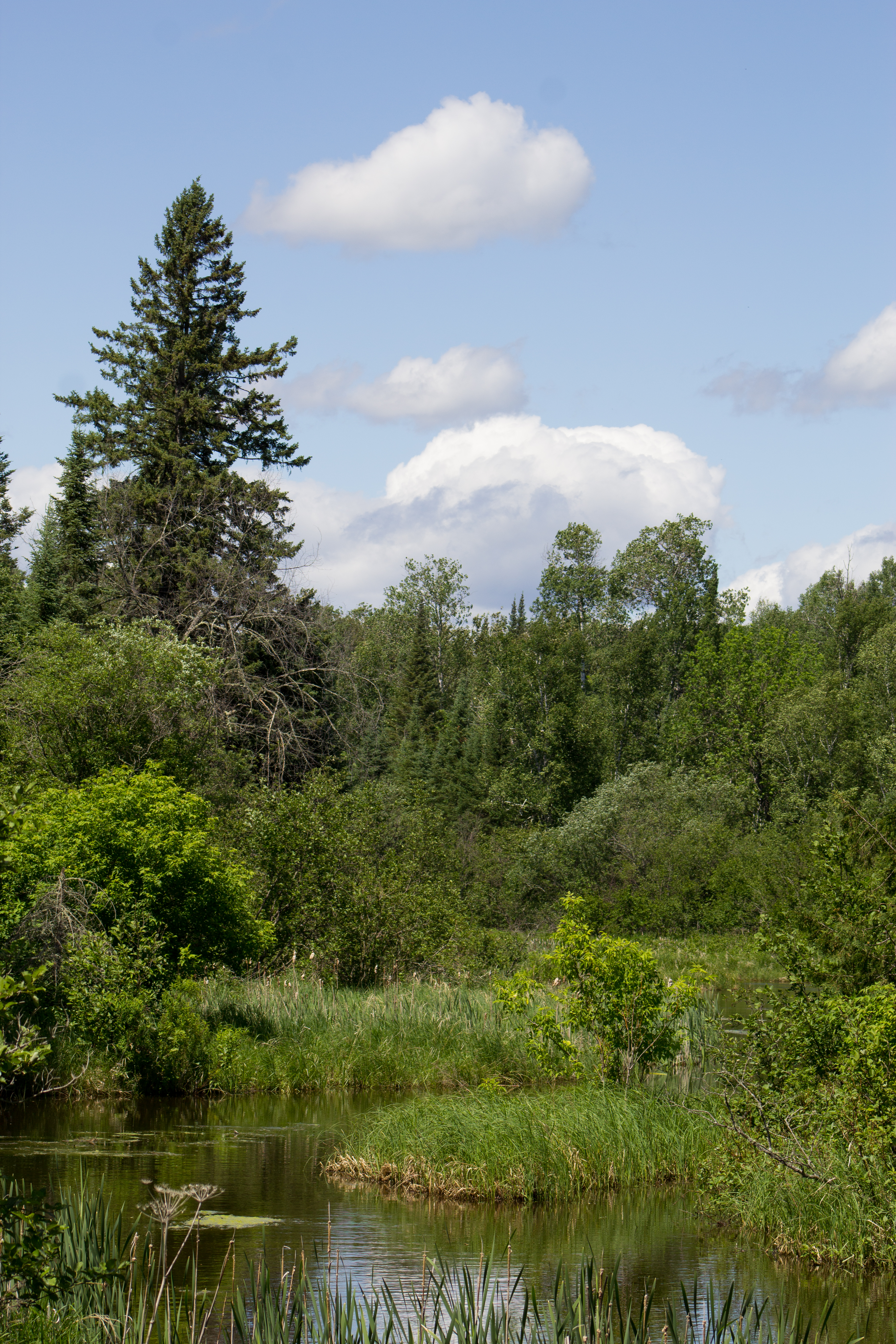
This long-distance hiking trail connects the Kabetogama and Ash River communities. Travel through backcountry forests and wetlands on this extensive system of interconnected trails. With four trailheads, you can explore smaller sections, or for the adventurous, a thru-hike is possible.
Note, depending on the time of year and changing conditions, this trail can be narrow and overgrown with vegetation. Good way-finding skills are often necessary through the forest and swamp areas, including wayfinding for trail continuation off open rock outcroppings that are marked with rock cairn.
Like other National Park wilderness trails, hikers travel at their own risk and should not solely depend on rock cairns and other human-made trail markings for navigation. Be prepared with proper food, water, clothing, footwear and insect repellant depending on the season. Early spring and fall, when biting insects may be less predominate, are the recommended times to experience this trail. Visit one of our visitor centers to learn rangers' insights and favorite sections to day hike.
With appropriate gear and advance planning, one can also camp overnight along the trail at any of its 2 primitive campsites. The Kab-Ash Trail is the only trail system in the park where one can enjoy a backcountry camping experience that doesn’t require a boat to access. For more information and to make primitive camping reservations, visit the Primitive Camping page.
Download map.
Accessibility This trail is not accessible due to its remote, narrow, rocky nature that is often overgrown with exposed rocks and roots throughout.
Locator Lake Trail
Hike the Locator Lake Trail the Park Service's write-up
2-5 Hours · no dogs · Spring, Summer, Fall
Start Kabetogama Lake
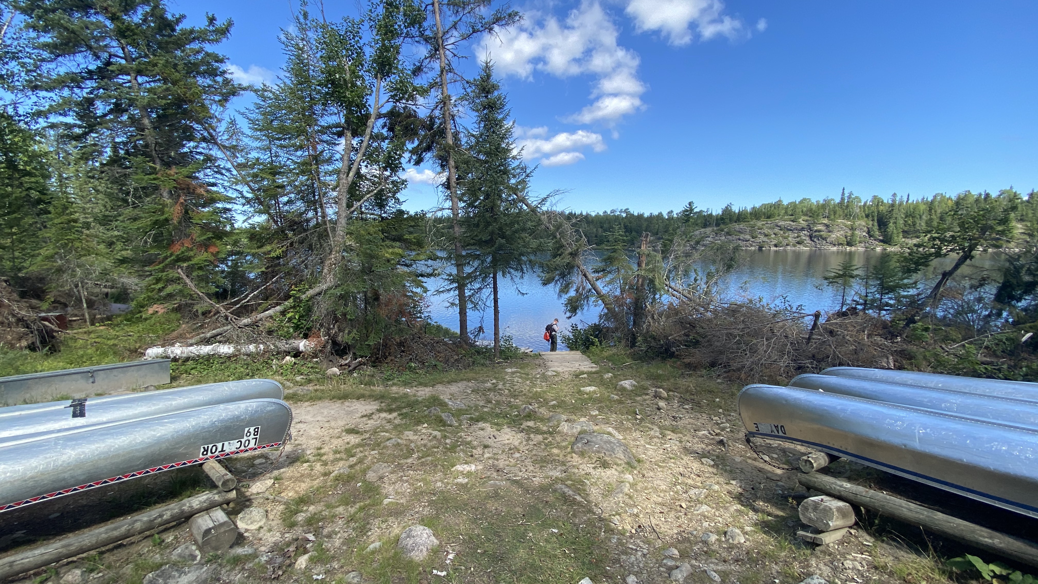
Watch this video of the Locator Lake Trail to learn how to gain access into our Chain of Lakes!
Please note: The Cranberry Creek Portage Trail from Rainy Lake has been permanently closed. Access to the Chain of Lakes is via the Locator Lake Trailhead on the north shore of Kabetogama Lake.
All backcountry trailheads are only accessible by water.
The Locator Lake Trail takes adventurous hikers up and over various ridges. It twists its way through forest and wetlands while extending north from Kabetogama Lake until it ends on the southern shoreline of Locator Lake, one of a series of unique interior lakes with rental canoes and reservation only campsites.
Explore this two mile, one way hike as an afternoon adventure, or use it as a starting point for an exciting back-country camping experience that will remain in your memories for years to come.
For more information about camping in Voyageurs National Park, please visit: Camping at Voyageurs National Park - Voyageurs National Park (U.S. National Park Service) (nps.gov)
Difficulty: Strenuous
Hiking Distance: 4 miles(6.4-km), round trip
Restrooms: Vault toilet at both trailheads
Download map.
Accessibility Trail is narrow with lots of exposed roots, rocks, and stairs. It climbs up and down multiple steep hills.
Oberholtzer Hiking Trail
Picnic areasVisitor centers
Along the way Rainy Lake Rainy Lake Visitor Center
Hike the Oberholtzer Trail the Park Service's write-up
45-80 Minutes · no dogs
Start Near Rainy Lake Visitor Center
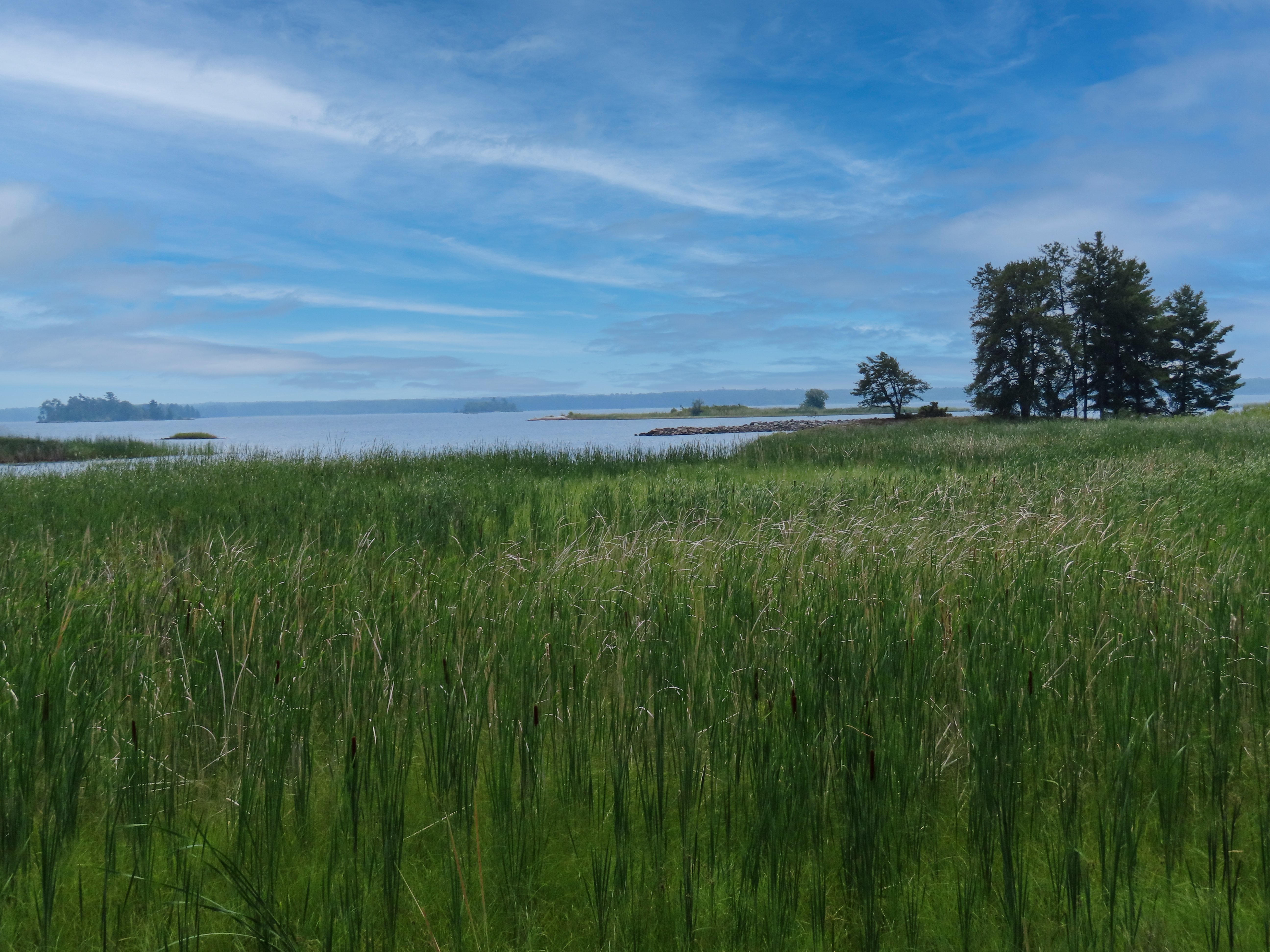
View the Oberholtzer Trail before you hike by watching this video link!
Wander through deciduous and conifer forest as the trail twists around the edge of a cattail filled wetland and past rocks deposited by ancient glaciers. Look for signs of wildlife as you hike to two different overlooks with marsh and lake views.
Difficulty: Easy
Hiking Distance: 1.6 miles(2.6 km) round trip, 0.5 miles (0.8 km) round trip for the accessible part
Download map.
Pets Pets are not allowed on trails at Voyageurs national Park to prevent the possible transmission of diseases to the wolf population.
Accessibility This trail is accessible for the first 1/4 mile on a 4 foot wide, flat crushed gravel trail. Beyond that the dirt path is uneven with roots and rocks.
Peary Lake Trail
Sullivan Bay Snowshoe Trail
Sullivan Bay Trail
Hike the Sullivan Bay Trail the Park Service's write-up
30-90 Minutes · no dogs
Start Near Ash River Visitor Center
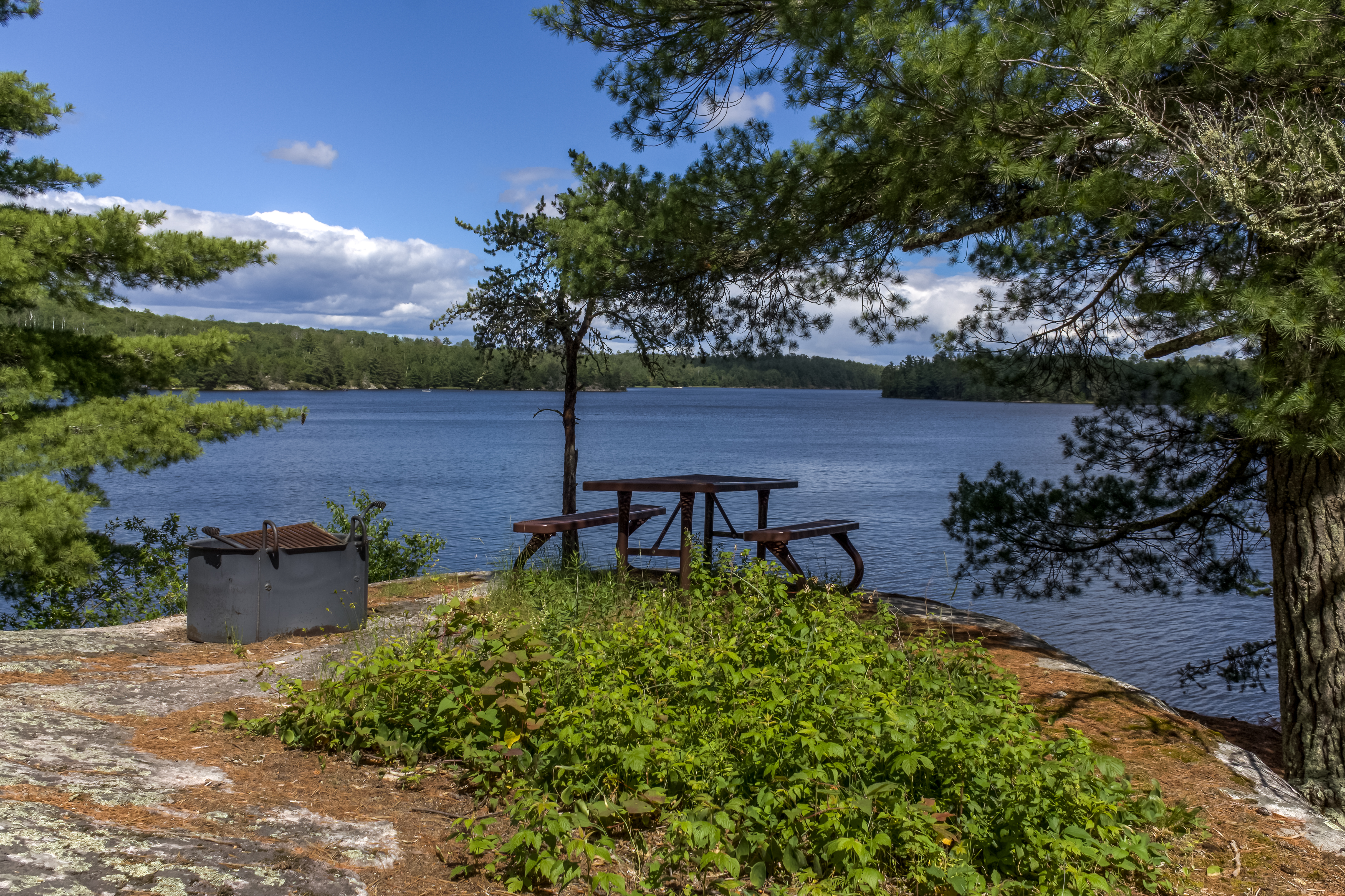
Experience the Sullivan Bay Trail with a timelaspe video!!!
This easy hike along an old forest road leads you through both coniferous and deciduous forest. The trail ends at a viewpoint on Sullivan Bay with a picnic table and fire ring. It treats those who are interested in geology with lots of exposed rock, created by volcanic activity over 2 billion years ago.
Difficulty: Easy
Hiking Distance: 1.5 mile(2.4 km) Round trip
Download map.
Pets Pets are not allowed on trails at Voyageurs national Park to prevent the possible transmission of diseases to the wolf population.
Accessibility This is a wide trail, 3 to 6 feet, on on an old forest road with a few short climbs and descents. The surface is mostly grass with patches of dirt.
More hikes the Park Service describes
Write-ups that name no single mapped trail, in the Service's words.
- Hike the Mukooda Trail · 2-3 Hours · no dogs · Spring, Summer
Accessible only by boat, the Mukooda Trail meanders through a mix of deciduous and coniferous forest and over rocky ridges, scraped bare by ancient glaciers. Take a journey through natural and cultural history on this narrow strip of land separating Sand Point Lake and the glacially carved Mukooda Lake. Look for picturesque views from high ridges and signs of wildlife as you wander through this unique and remote part of the park. - Hike Voyageurs Forest Overlook Trail · 10-30 Minutes · no dogs · Spring, Summer, Fall
This short trail takes you through a section of forest revealing the changes in the forest at different elevations. Growing trees have blocked the overlook that used to be at the parking area. There are picnic tables and grills by the parking area. - Rainy Lake Recreation Trail · 1-2 Hours · dogs allowed
The Rainy Lake Recreation Trail offers visitors a peaceful experience as it meanders along the park road, into the woods, and around rock outcrops. This paved trail is a great option for leashed pets, bicyclists, walkers, runners, and snowshoers to take in the views of forest, lake, and marsh scenery. It is a non-strenuous, accessible trail that requires about 1.5 hours round trip to complete.
About these trails
The lines are the National Park Service's public trails layer, the trailheads and the waterfalls, views, peaks and historic places along them the Service's public points of interest, read 2026-10-14 and simplified for the map. The write-ups are the Service's own "things to do", unedited. Heights come from USGS 3DEP through Terrain Tiles on AWS (Mapzen/Tilezen), read along each line and rounded; a short trail on steep ground can be off by a few tens of feet. Closures change: check the park's own site before you go.