
National Park · U.S. Virgin Islands
Trails in Virgin Islands National Park
30 named trails · 36 miles · 9 trailheads · 9 with the Park Service's own write-up. The lines, trailheads and points are the Park Service's; the write-ups are the Service's own words; the climbing is read from USGS elevation along each line.
30 trails, A to Z.
Bordeaux Mountain Trail
Cabritte Horn Trail
Caneel Water Catchment Spur
Charlotte Amalie Ferry
Cinnamon Bay Trail
Trailhead Cinnamon Bay Trail 71 ft Drive there
Cinnamon Bay Trails the Park Service's write-up
15-30 Minutes · dogs allowed
Start Cinnamon Bay Ruins
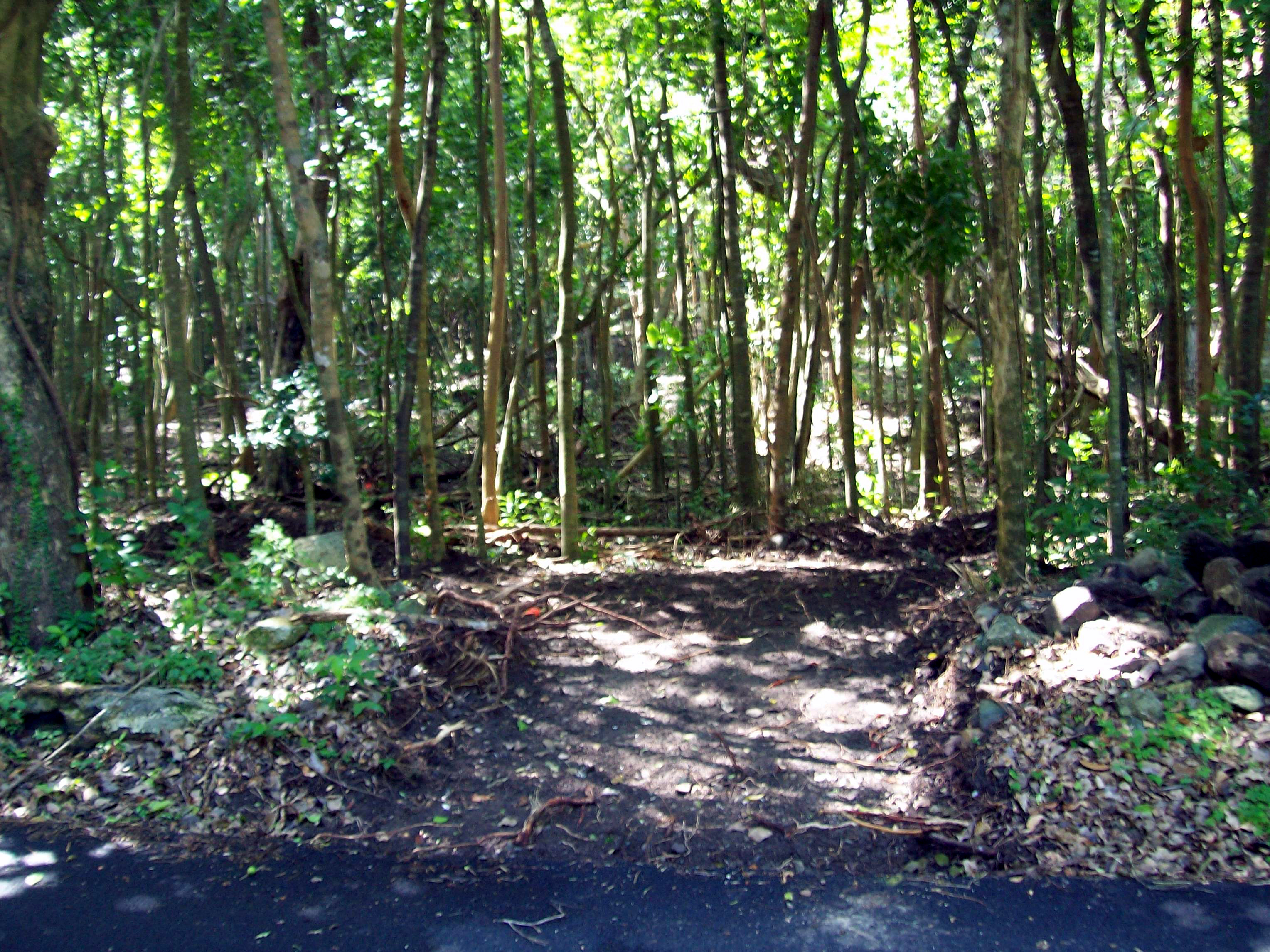
Meander through the ruins of the historic Cinnamon Bay Sugar Plantation. Smell the scent of the leaves from the bay rum trees, which were once used to make the famous St John Bay Rum Cologne. The boardwalk and nature loop are located across the road from the entrance to the Cinnamon Bay Campground. The nature loop is an easy 0.5 mile hike.
For a more adventurous hike, try the strenuous 1 mile Cinnamon Bay Trail which begins east of the ruins. Hike uphill through a shaded forest filled with several tall trees including mango, genip, guava berry, kapok, and mammee apple. There is a 0.38 mile spur off of this trail leading to the ruins of a great house known as America Hill. This trail ends at Centerline Road.
Accessibility Parts of Cinnamon Bay Loop are accessible. There is a boardwalk that meanders through the ruins suitable for strollers and wheel chairs.
Cowell's Trail
Trailhead Cowell's Trailhead 42 ft Drive there
Drunk Bay Trail
Europa Bay Trail
Francis Bay Trail
Picnic areas
Along the way Francis Bay
Francis Bay Trail the Park Service's write-up
30-90 Minutes · dogs allowed
Start Francis Bay Trail and Salt Pond
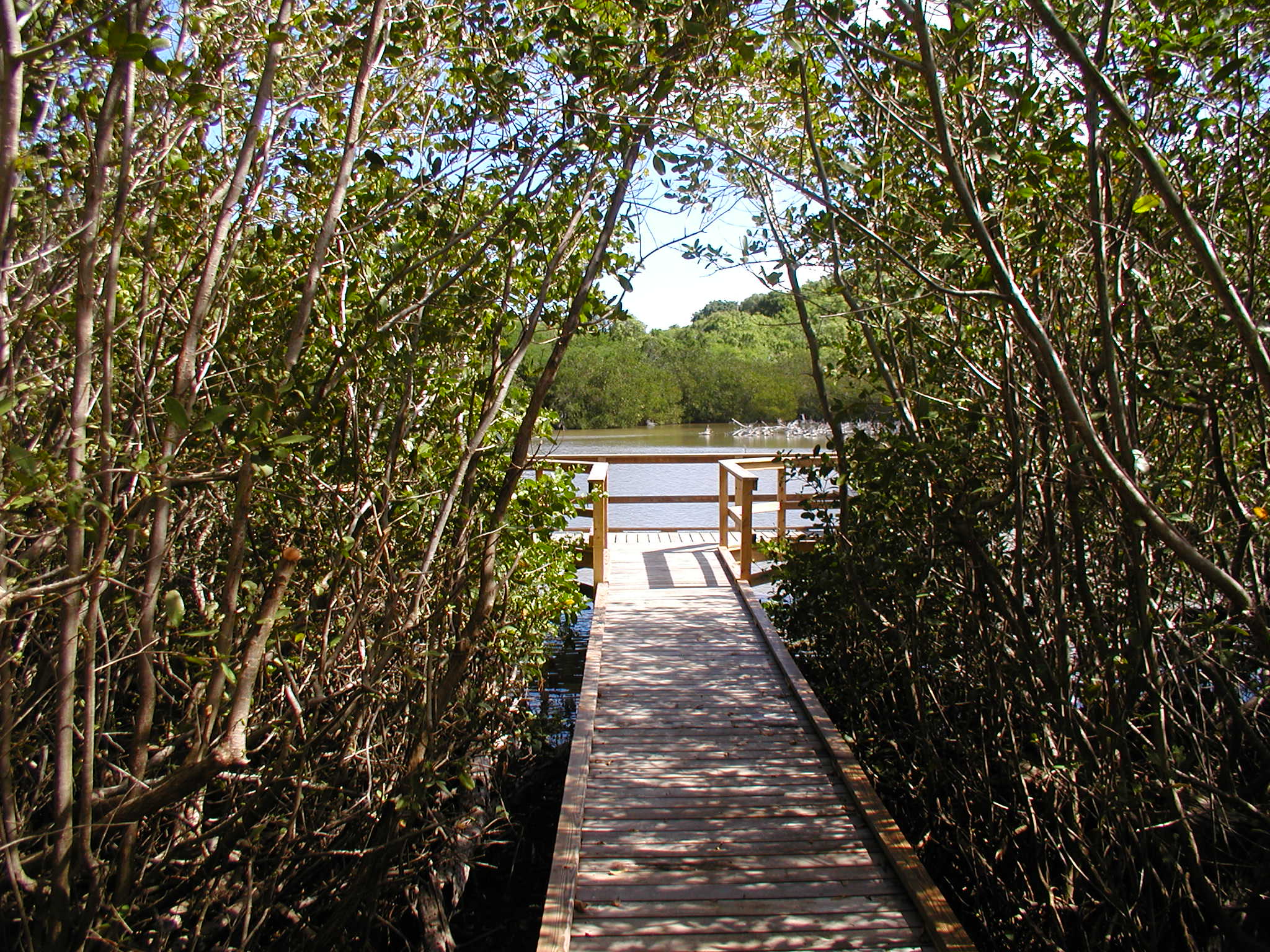
Francis Bay Trail starts at the Francis Bay Sugar Factory. It continues past the Mary's Point Estate house and around a salt pond. The dry tropical forest and salt pond provide an excellent opportunity to view birds. The lower portion of the trail is an accessible boardwalk that continues through the mangroves to the two viewing platforms.
Accessibility The boardwalk to the salt pond viewing platforms is wheelchair accessible. The rest of the trail is uneven and rocky. There is a steep climb from the parking lot at the Francis Sugar Factory to the beach and boardwalk. Those looking for easier access should park at the beach end of the trail.
L'Esperance Trail
L'Esperance Trail the Park Service's write-up
2-4 Hours · dogs allowed
Start L'Esperance Trail
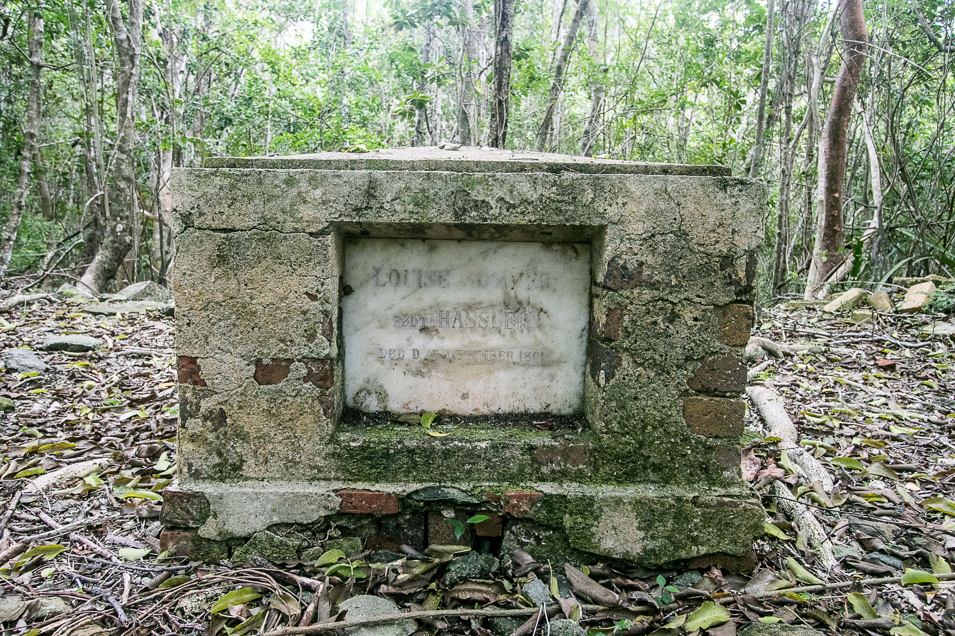
L'Esperance Trail follows a historic Danish road passing ruins of some of the earliest plantations established on St. John. View the island's only baobab, a sacred tree species that was brought to the Caribbean by enslaved Africans. From trailhead to the beach is about 2.6 miles one way. Much of the trail faces west and lacks tree shade so be sure to wear sun protection and a hat.
For those fit and avid hikers a great option is to hike down either L'Esperance or Reef Bay and then back up the other. One can also take a ranger-led hike and learn about the amazing adaptations that emerged from the struggle for survival, both for the early settlers on the island and the wildlife that has a home here.
These backcountry trails are steep in places, uneven and rocky, and can be slippery even when dry – you'll need sturdy, closed-toe shoes and a sure foot. Take plenty of water, some snacks and a lunch, and a hat. Mosquito repellent is a good idea, too, and a swim suit if you'd like to take a dip in the ocean down at the beach at the end of the trail.
If you would like to join a ranger-led hike on this or the Reef Bay Trail visit Friends of Virgin Islands National Park or visit our Ranger Programs and Guided Tours page for more information about this and other guided hikes.
Accessibility This trail is not considered accessible.
Lameshur Bay Trail
Yawzi Point Trail the Park Service's write-up
30-50 Minutes · dogs allowed
Start Yawzi Point
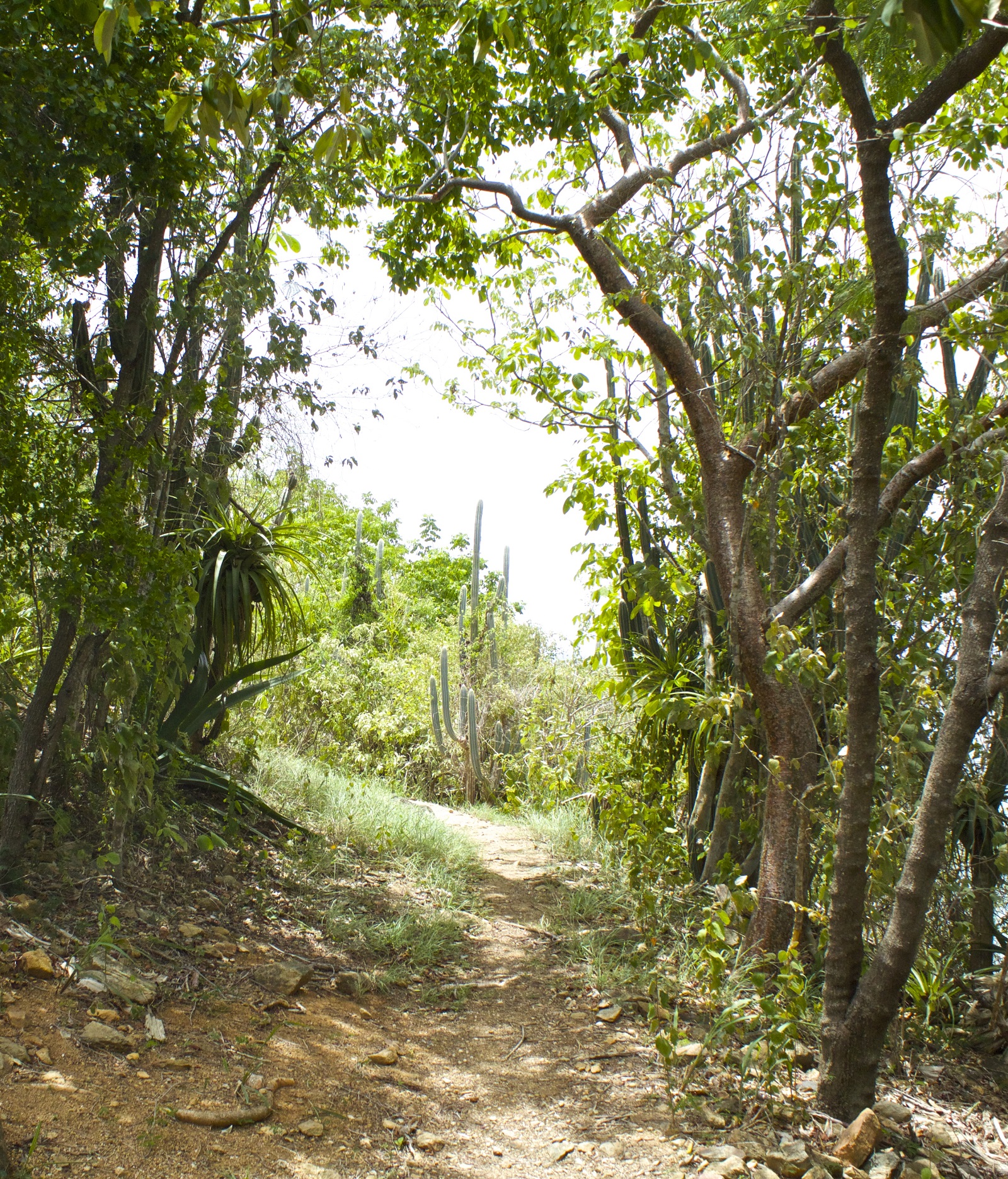
Located between Great Lameshur Bay and Little Lameshur Bay, this .3 mile trail is a good choice if looking for an easy hike. Stone ruins of homes from the Danish colonial period can be found alongside the trail. Small rocky beaches can be accessed by side trails for a quiet snorkel entry spot.
Accessibility This narrow rocky trail with slight inclines is not considered accessible.
Leinster Bay Trail
Johnny Horn Trail the Park Service's write-up
2-4 Hours · dogs allowed · reservation required
Start Johnny Horn Trail
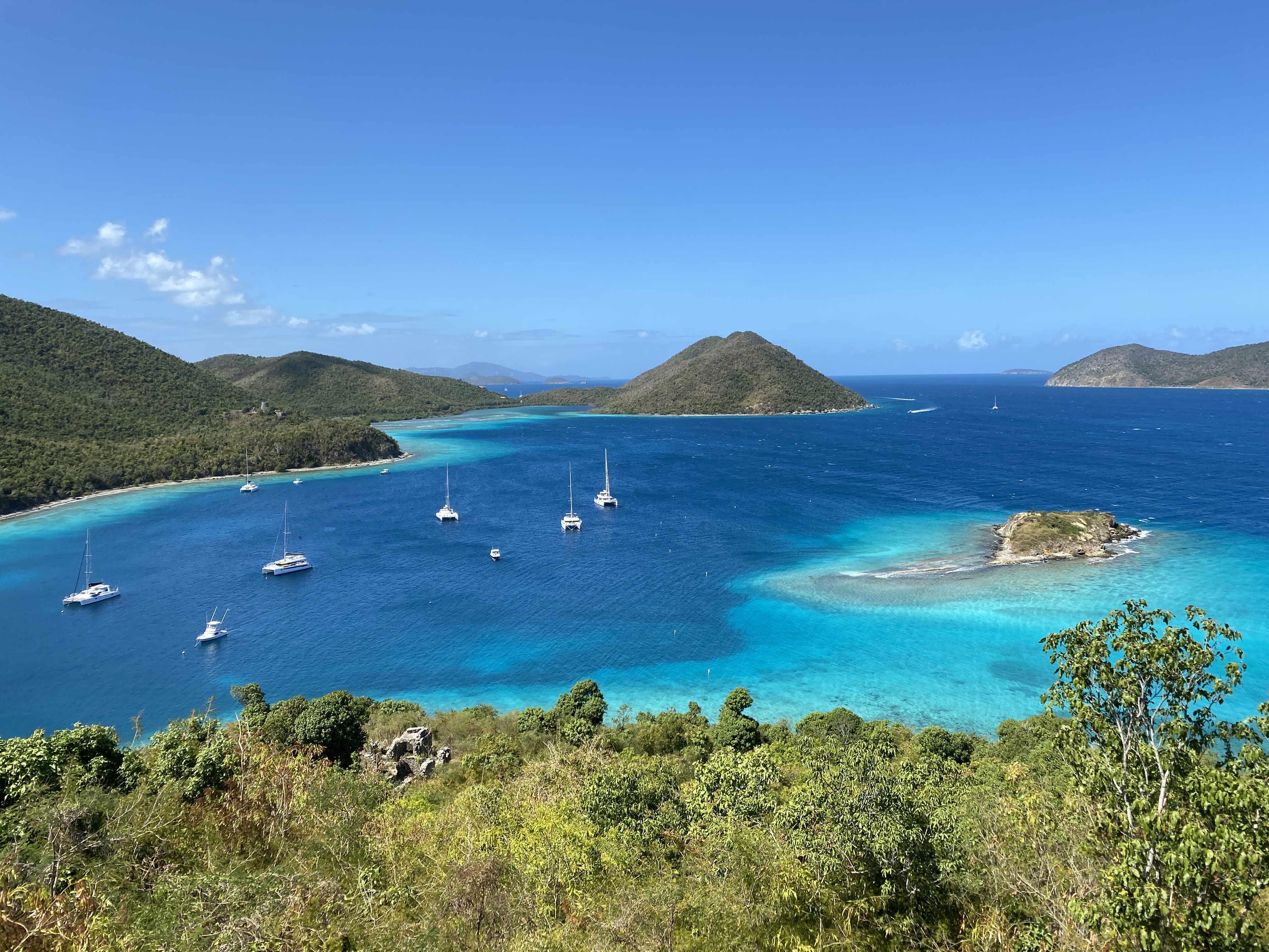
This 1.8 mile strenuous trail begins at the east end of the Waterlemon Bay beach and ascends past historic sites on both sides of the trail. At the top of the first hill, a side trail on the left leads to a hilltop site with great views in all directions. The Johnny Horn Trail continues past the start of the Brown Bay Trail at 0.7 mile, to the near the top of Base Hill where there are good views of Coral Bay. Also, at this point there is a spur trail to the left that leads to the top of the hill with great views of Hurricane Hole and continues down to meet the main trail along the road. The main trail continues, following a road down to the paved road at the Moravian church in Coral Bay.
Accessibility The trail is steep and rocky in places. The first portion of the trail is a moderate climb and leads to great views and historic sites. Visitors may chose to just do this first portion and then enjoy the cool clear water of Leinster Bay.
Lind Point Caneel Hill Spur Trail
Lind Point Trail
Beaches
Along the way Honeymoon Beach
Trailhead Lind Point Trail 46 ft Drive there
Hike the Lind Point Trails the Park Service's write-up
20-40 Minutes · dogs allowed
Start Lind Point Trail Head
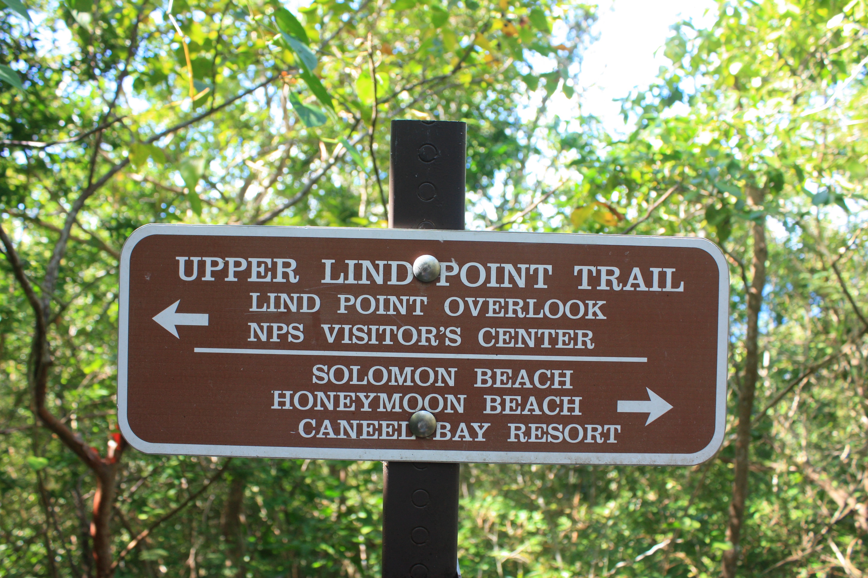
The Lind Point Trail starts just behind the park visitor center and ends at breathtaking Honeymoon Bay or Solomon Bay. The trail offers several spurs one of which heads to the overlook. Stop and rest on the bench as you watch the boats sail by.
Accessibility This trail is not considered accessible as it is a narrow rocky trail.
Lind Point Water Catchment Trail
Lind Point-Caneel Hill Trail
Trailhead Caneel Hill Trail 32 ft Drive there
Lower Lind Point Trail
Maria Hope Trail
Trailhead Reef Bay Trail 807 ft Drive there
Officer's Quarters Trail
Petroglyph Trail
Ram Head Trail
Trailhead Drunk Bay Trail 13 ft Drive there
Salt Pond Bay and Ram Head Trails the Park Service's write-up
5-20 Minutes · dogs allowed
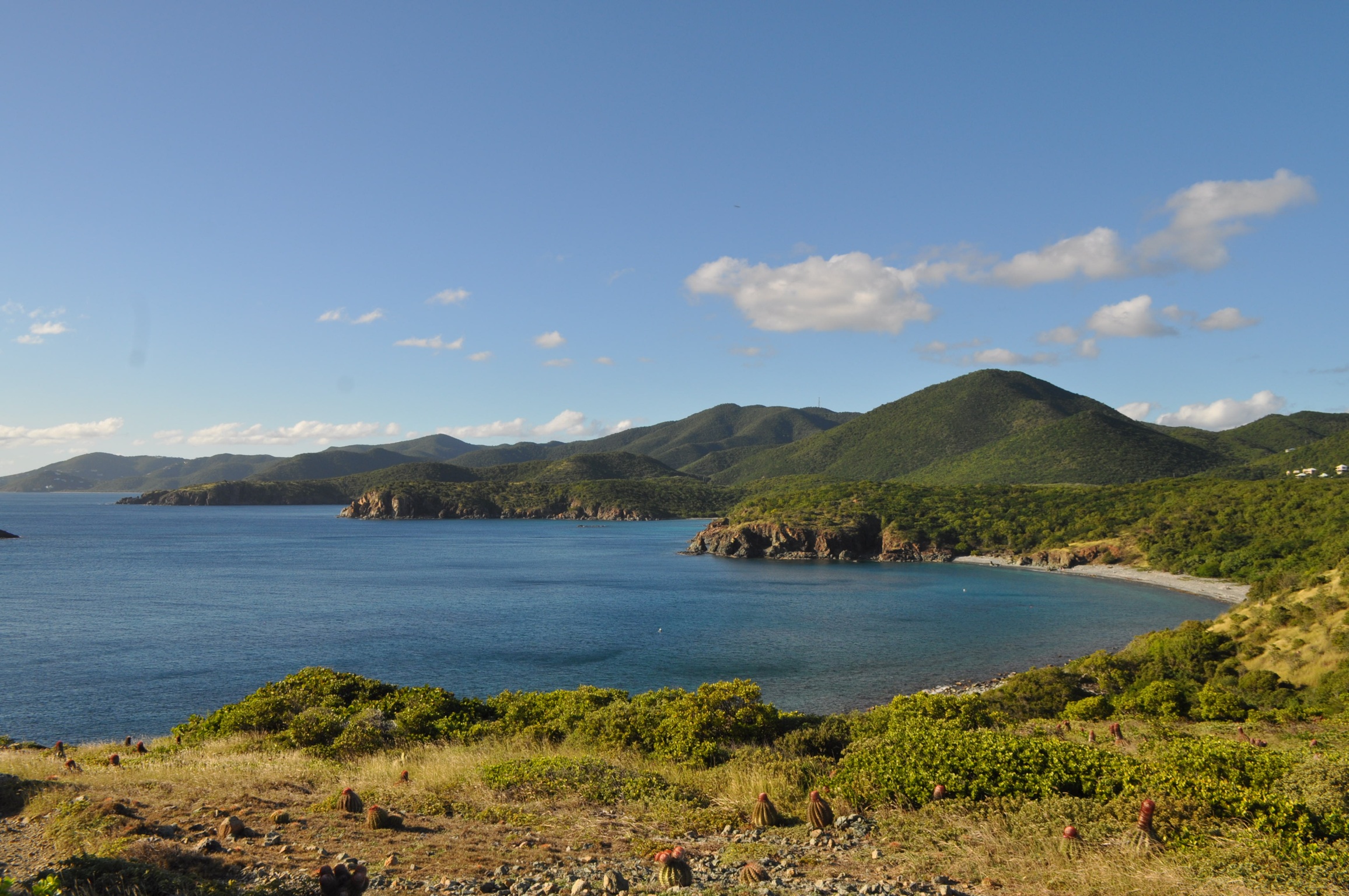
Salt Pond is perfect for someone looking for a pleasant stroll to a beautiful beach. Just a quarter mile hike from the parking area to beach, has only a slight grade. The long curved beach has a gentle slope into the water making it perfect for everyone.
Accessibility The trail to Salt Pond Bay is an old dirt road which can be washed out at times.
Red Hook-Cruz Bay Ferry
Reef Bay Trail
Trailhead Reef Bay Trail 807 ft Drive there
Saltpond Bay Trail
Picnic areas
Along the way Saltpond Bay
Shipley's Battery Trail
History
Along the way Creque Marine Railway
Tektite Trail
Tektite Trail the Park Service's write-up
20-60 Minutes · dogs allowed
Start Tektite Trail Head
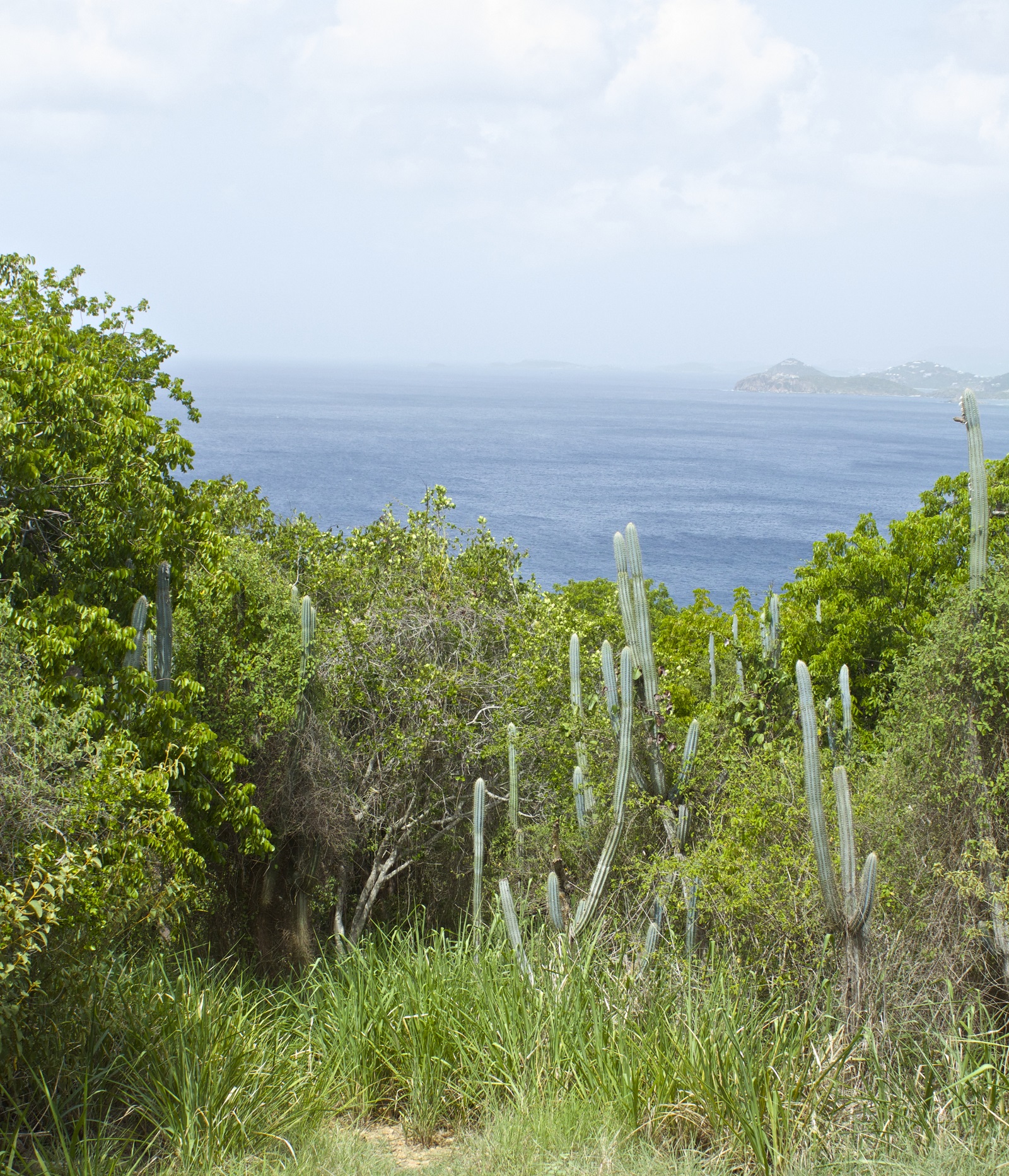
The trailhead can be found to the right of Lameshur Road at the first switchback. The .7 mile trail begins with a moderately strenuous ascent on the Cabritte Horn Point. Hike through the desert-like terrain to reach scenic views atop coastal cliffs.
Accessibility This narrow rocky trail is not considered accessible.
Trunk Bay Beach Access
Upper Lind Point Trail
Yawzi Point Trail
Trailhead Yawzi Point Trail 20 ft Drive there
Yawzi Point Trail the Park Service's write-up
30-50 Minutes · dogs allowed
Start Yawzi Point
Located between Great Lameshur Bay and Little Lameshur Bay, this .3 mile trail is a good choice if looking for an easy hike. Stone ruins of homes from the Danish colonial period can be found alongside the trail. Small rocky beaches can be accessed by side trails for a quiet snorkel entry spot.
Accessibility This narrow rocky trail with slight inclines is not considered accessible.
More hikes the Park Service describes
Write-ups that name no single mapped trail, in the Service's words.
- Caneel Hill Trail · 30-60 Minutes · dogs allowed
Hiking trails in the park provide an excellent way to experience the beauty of the landscape and the rich natural and cultural history of the park/
About these trails
The lines are the National Park Service's public trails layer, the trailheads and the waterfalls, views, peaks and historic places along them the Service's public points of interest, read 2026-10-14 and simplified for the map. The write-ups are the Service's own "things to do", unedited. Heights come from USGS 3DEP through Terrain Tiles on AWS (Mapzen/Tilezen), read along each line and rounded; a short trail on steep ground can be off by a few tens of feet. Closures change: check the park's own site before you go.