35 named trails · 40 miles · 1 with the Park Service's own write-up. The lines, trailheads and points are the Park Service's; the write-ups are the Service's own words; the climbing is read from USGS elevation along each line.
35 trails, A to Z.
0.2 mi one way · 156 ft–170 ft · concrete surface · bike, hiking
Visitor centers
158 ft
156 ft · 0.1 mi
high 158 ft
Along the way Visitor Center
On the parks map · Drive to the trail's end
1.4 mi one way · about 100 ft of climbing · 130 ft–206 ft · bike, hiking, horse
149 ft
206 ft · 1.4 mi
high 206 ft
On the parks map · Drive to the trail's end
0.9 mi one way · about 40 ft of climbing · 150 ft of descent · 139 ft–249 ft · gravel, native surface · bike, hiking, horse
Picnic areas
208 ft
139 ft · 0.2 mi
high 208 ft
Along the way Varnum's Picnic Area
On the parks map · Drive to the trail's end
4.3 mi one way · about 350 ft of climbing · 101 ft–229 ft · earth, native surface · hiking, horse
161 ft
208 ft · 1.2 mi
high 229 ft
On the parks map · Drive to the trail's end
2.4 mi one way · about 200 ft of climbing · 80 ft–205 ft · earth, gravel, native surface · bike, hiking, horse · temporarily closed
130 ft
149 ft · 0.9 mi
high 205 ft
On the parks map · Drive to the trail's end
0.2 mi one way · 100 ft of descent · 106 ft–202 ft · earth surface · hiking, horse
202 ft
106 ft · 0.2 mi
high 202 ft
On the parks map · Drive to the trail's end
0.2 mi one way · about 70 ft of climbing · 163 ft–236 ft · earth surface · hiking
163 ft
236 ft · 0.2 mi
high 236 ft
On the parks map · Drive to the trail's end
1.2 mi one way · about 60 ft of climbing · 71 ft–116 ft · earth, gravel surface · bike, hiking, horse
71 ft
116 ft · 0.5 mi
high 116 ft
On the parks map · Drive to the trail's end
2.9 mi one way · 64 ft–77 ft · gravel surface · bike, hiking, horse
72 ft
71 ft · 1.2 mi
high 77 ft
On the parks map · Drive to the trail's end
0.2 mi one way · about 50 ft of climbing · 159 ft–210 ft · native surface · hiking, horse
159 ft
208 ft · 0.2 mi
high 208 ft
On the parks map · Drive to the trail's end
2.6 mi one way · about 200 ft of climbing · 108 ft–221 ft · native surface · hiking, horse · temporarily closed
142 ft
161 ft · 0.6 mi
high 161 ft
On the parks map · Drive to the trail's end
1.0 mi one way · about 250 ft of climbing · 143 ft–520 ft · earth surface · hiking, horse
246 ft
463 ft · 0.4 mi
high 463 ft
On the parks map · Drive to the trail's end
6.9 mi one way · about 450 ft of climbing · 88 ft–252 ft · asphalt, concrete surface · bike, hiking
Picnic areas
215 ft
192 ft · 0.6 mi
high 219 ft
Along the way Wayne's Woods Picnic Area
Walk or Run the Joseph Plumb Martin Trail the Park Service's write-up
dogs allowed
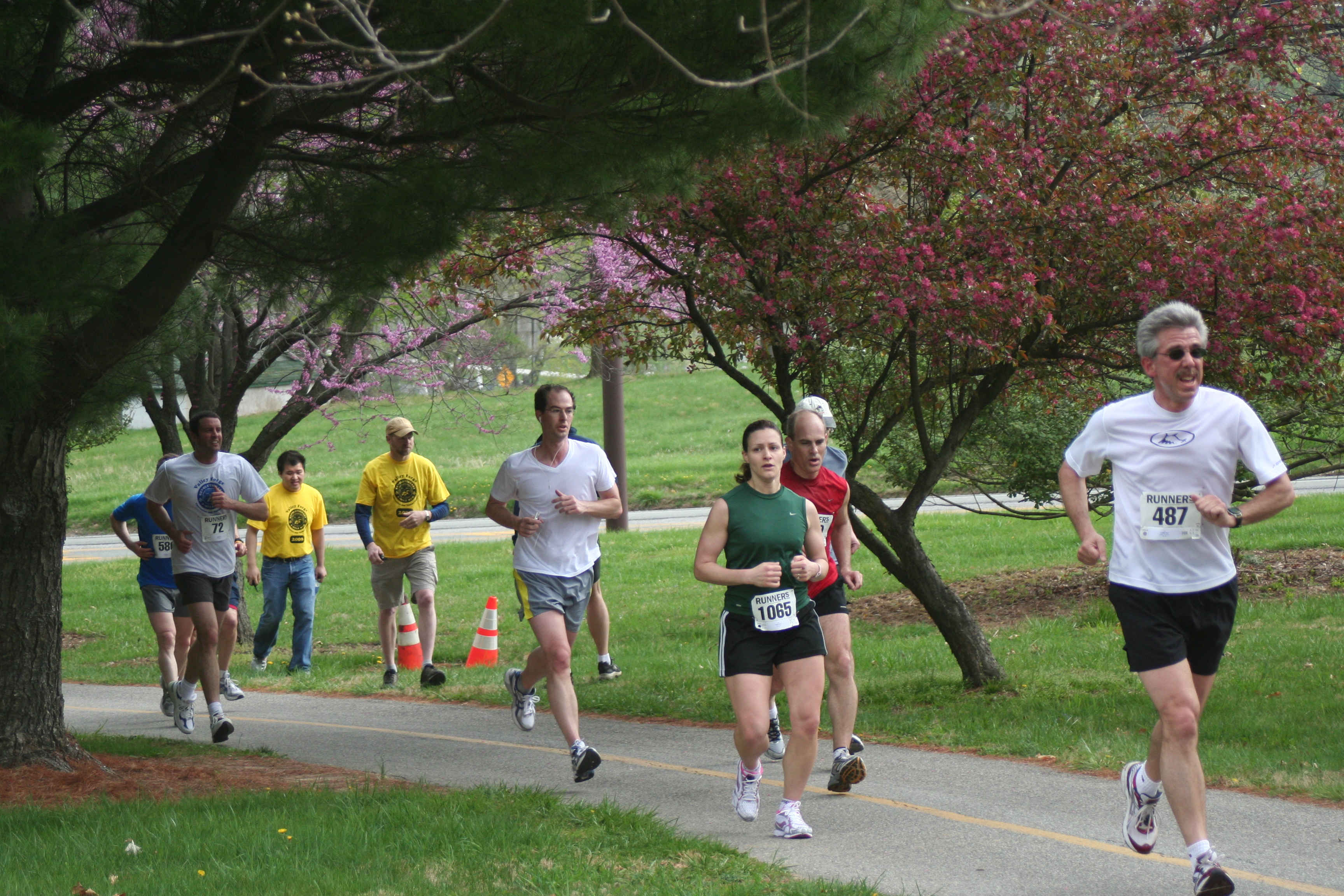
The paved 5-mile loop is a popular place to walk and run. Photo: NPS Photo Walking or running on the paved Joseph Plumb Martin trail is a great way to get some exercise and experience Valley Forge!
The majority of the trail is a 5-mile loop around the center of the park, which runs nearby to many popular parking areas. Walking or running on the Joseph Plumb Martin trail will take you to many of the park's iconic views, monuments, buildings, and statues.
View a map of the trail for additional trail information.
View the park brochure or pick up a hard copy from a ranger at the Visitor Center or from information kiosks located around the park.
Accessibility The Joseph Plumb Martin trail is completely paved and is a comfortable width for pedestrian, bicycle, and wheelchair traffic in two directions. The grade is variable -- some sections are quite steep and may not be suitable for all users.
This hike on nps.gov
On the parks map · Drive to the trail's end
0.5 mi one way · about 50 ft of climbing · 101 ft–155 ft · concrete, paver, wood chips surface · bike, hiking
128 ft
101 ft · 0.1 mi
high 128 ft
On the parks map · Drive to the trail's end
0.4 mi one way · about 20 ft of climbing · 150 ft of descent · 199 ft–334 ft · earth surface · hiking, horse
333 ft
199 ft · 0.4 mi
high 334 ft
On the parks map · Drive to the trail's end
1.9 mi one way · about 450 ft of climbing · 90 ft–419 ft · earth, gravel surface · hiking, horse
336 ft
237 ft · 0.5 mi
high 336 ft
On the parks map · Drive to the trail's end
0.7 mi one way · about 350 ft of climbing · 121 ft–461 ft · earth surface · hiking
121 ft
353 ft · 0.5 mi
high 353 ft
On the parks map · Drive to the trail's end
0.3 mi one way · 207 ft–222 ft · concrete surface · bike, hiking
219 ft
214 ft · 0.1 mi
high 222 ft
On the parks map · Drive to the trail's end
0.2 mi one way · 60 ft of descent · 194 ft–258 ft · earth surface · hiking
258 ft
194 ft · 0.2 mi
high 258 ft
On the parks map · Drive to the trail's end
0.7 mi one way · 75 ft–81 ft · bike, hiking, horse
78 ft
81 ft · 0.7 mi
high 81 ft
On the parks map · Drive to the trail's end
0.1 mi one way · 83 ft–87 ft · asphalt, gravel surface · bike, hiking
83 ft
83 ft · 0.1 mi
high 83 ft
On the parks map · Drive to the trail's end
0.2 mi one way · 30 ft of descent · 72 ft–108 ft · earth, gravel surface · bike, hiking, horse
99 ft
72 ft · 0.1 mi
high 99 ft
On the parks map · Drive to the trail's end
6.3 mi one way · about 80 ft of climbing · 150 ft of descent · 70 ft–132 ft · concrete surface · bike, hiking, horse
76 ft
80 ft · 1.8 mi
high 84 ft
On the parks map · Drive to the trail's end
0.2 mi one way · about 20 ft of climbing · 121 ft–152 ft · bike, hiking, horse
121 ft
141 ft · 0.2 mi
high 141 ft
On the parks map · Drive to the trail's end
0.2 mi one way · about 50 ft of climbing · 71 ft–119 ft · gravel surface · bike, hiking, horse
71 ft
119 ft · 0.2 mi
high 119 ft
On the parks map · Drive to the trail's end
0.1 mi one way · 204 ft–207 ft · native surface · hiking
207 ft
205 ft · 0.1 mi
high 207 ft
On the parks map · Drive to the trail's end
0.4 mi one way · about 50 ft of climbing · 58 ft–105 ft · concrete surface · bike, hiking
93 ft
91 ft · 0.3 mi
high 105 ft
On the parks map · Drive to the trail's end
1.3 mi one way · about 60 ft of climbing · 90 ft of descent · 81 ft–155 ft · gravel surface · bike, hiking, horse
Bridges
94 ft
136 ft · 0.6 mi
high 136 ft
Along the way Covered Bridge
On the parks map · Drive to the trail's end
0.1 mi one way · 208 ft–212 ft · wood chips surface · bike, hiking, horse
Picnic areas
209 ft
212 ft · 0.1 mi
high 212 ft
Along the way Varnum's Picnic Area
On the parks map · Drive to the trail's end
0.1 mi one way · 197 ft–204 ft · concrete surface · bike, hiking
197 ft
204 ft · 0.1 mi
high 204 ft
On the parks map · Drive to the trail's end
0.1 mi one way · 130 ft–135 ft · concrete surface · bike, hiking
Visitor centers
135 ft
134 ft · 0.0 mi
high 135 ft
Along the way Visitor Center
On the parks map · Drive to the trail's end
0.6 mi one way · about 70 ft of climbing · 85 ft–145 ft · asphalt, concrete surface · hiking
98 ft
131 ft · 0.1 mi
high 131 ft
On the parks map · Drive to the trail's end
0.1 mi one way · about 40 ft of climbing · 112 ft–156 ft · concrete surface · hiking
112 ft
156 ft · 0.1 mi
high 156 ft
On the parks map · Drive to the trail's end
0.3 mi one way · 250 ft of descent · 101 ft–348 ft · earth surface · hiking
348 ft
101 ft · 0.3 mi
high 348 ft
On the parks map · Drive to the trail's end
0.3 mi one way · 40 ft of descent · 110 ft–164 ft · concrete surface · bike, hiking
Bridges
143 ft
119 ft · 0.1 mi
high 143 ft
Along the way Covered Bridge
On the parks map · Drive to the trail's end
The lines are the National Park Service's public trails layer, the trailheads and the waterfalls, views, peaks and historic places along them the Service's public points of interest, read 2026-10-14 and simplified for the map. The write-ups are the Service's own "things to do", unedited. Heights come from USGS 3DEP through Terrain Tiles on AWS (Mapzen/Tilezen), read along each line and rounded; a short trail on steep ground can be off by a few tens of feet. Closures change: check the park's own site before you go.