Trails in Tule Springs Fossil Beds National Monument
3 named trails · 5 miles · 1 with the Park Service's own write-up. The lines, trailheads and points are the Park Service's; the write-ups are the Service's own words; the climbing is read from USGS elevation along each line.
2.3 mi one way · about 30 ft of climbing · 2,261 ft–2,302 ft · native surface · bike, hiking
Hiking at Tule Springs Fossil Beds National Monument the Park Service's write-up
dogs allowed
Start Aliante Loop Temporary Trail
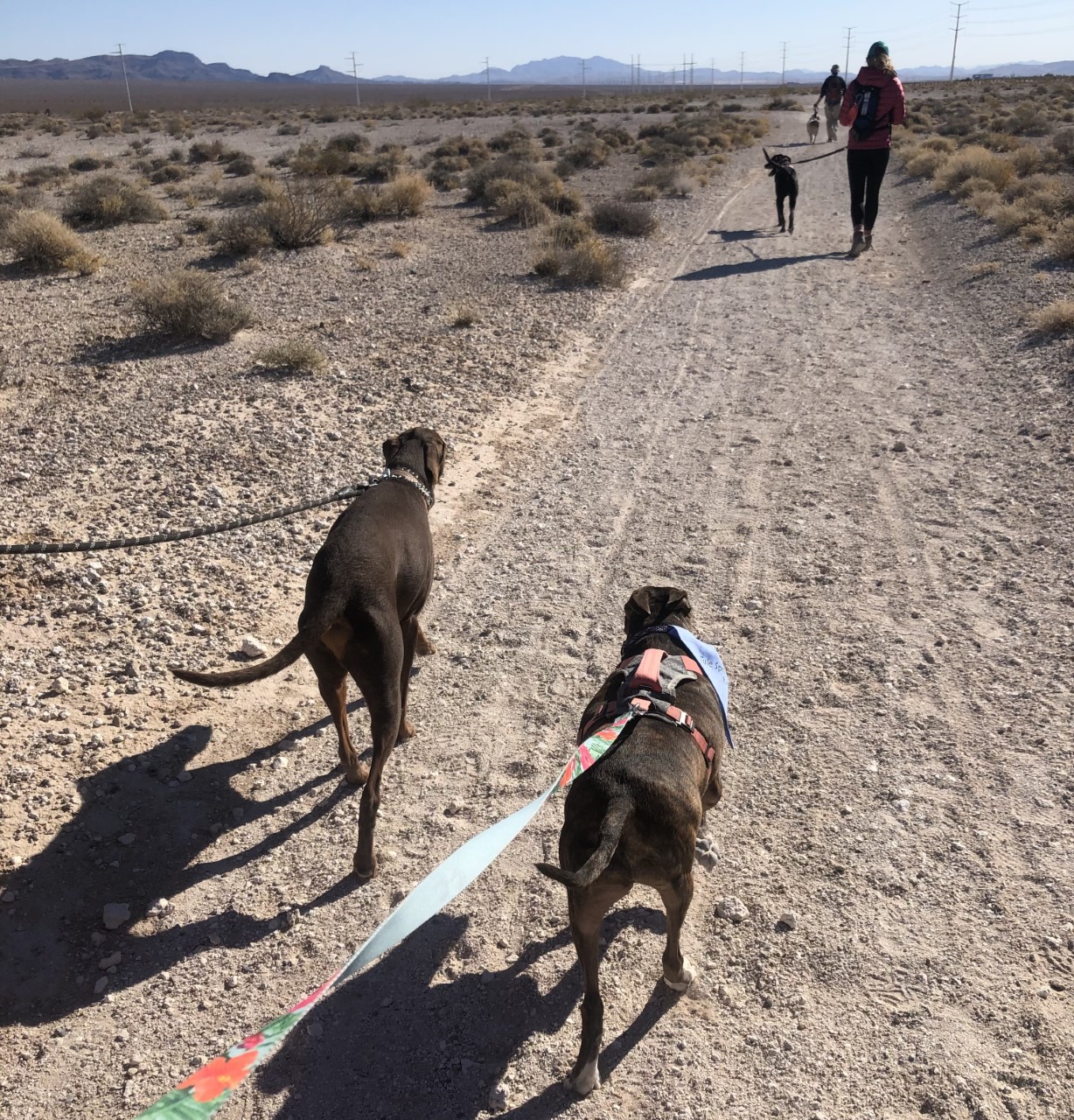
View of hikers and leashed dogs walking on the Aliante Loop Temporary Trail Photo: NPS Photo: Erin Eichenberg
Tule Springs Fossil Beds is a new park, so there are no permanent trails established yet. While the park is going through the planning process, we have established the Aliante Loop as a temporary trail to help gather visitor use data by counting the frequency and number of people using this trail. This data will allow for better trail planning within the park. While the Aliante Loop temporary trail offers year-round scenic views of Mojave Desert scrub habitat and the Las Vegas Range, wildflower blooms in spring and summer are a sight to see.
Accessibility Since the trail is temporary, the compacted soil surface is not maintained nor paved, but may be suitable for strollers and mobility aids. A sighted (human) guide is recommended for visitors who are visually impaired. Trail conditions may vary seasonally, use at your own discretion. Please Note: There are no facilities, shade, or rest areas.This temporary trail begins at the North Aliante Parkway Informational Kiosk. Enter through the curved metal pedestrian gate on Aliante Parkway.
The lines are the National Park Service's public trails layer, the trailheads and the waterfalls, views, peaks and historic places along them the Service's public points of interest, read 2026-10-14 and simplified for the map. The write-ups are the Service's own "things to do", unedited. Heights come from USGS 3DEP through Terrain Tiles on AWS (Mapzen/Tilezen), read along each line and rounded; a short trail on steep ground can be off by a few tens of feet. Closures change: check the park's own site before you go.