6 named trails · 16 miles · 4 trailheads · 2 with the Park Service's own write-up. The lines, trailheads and points are the Park Service's; the write-ups are the Service's own words; the climbing is read from USGS elevation along each line.
3.0 mi one way · about 150 ft of climbing · 26 ft–82 ft · hiking
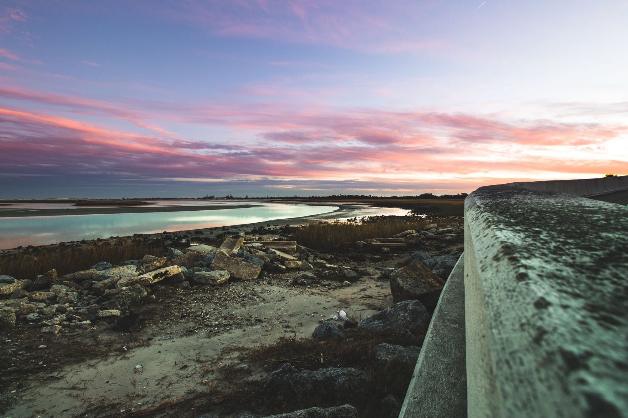
Sunrise at Point Isabel the Park Service's write-up
20-60 Minutes · dogs allowed
Start Parking Lot for Trail Access
Hike to Point Isabel to watch the sunrise. Photo: NPS/Duplaga
Enjoy a peaceful sunrise view at the waters edge at Point Isabel on Fort George Island. These scenic views are accessible by the Fort George Cultural State Park Trails. Please check the state website for any trail closures. Bikes are allowed on the trail but you must take stairs to reach the final destination.
Point Isabel was once the site of the yacht basin for the wealthy visitors to the Ribault Club in the Roaring Twenties. Today it is a beautiful view captured by classic artists and Instagram influencers alike.
Accessibility Trail is sandy, generally flat but does include a long set of concrete stairs.
1.1 mi one way · about 70 ft of climbing · 24 ft–69 ft · hiking
Picnic areas
Along the wayTrailhead Picnic Area
TrailheadsWillie Brown Trailhead 68 ft Drive there · Willie Brown Trailhead 62 ft Drive there · Willie Brown Trailhead 29 ft Drive there
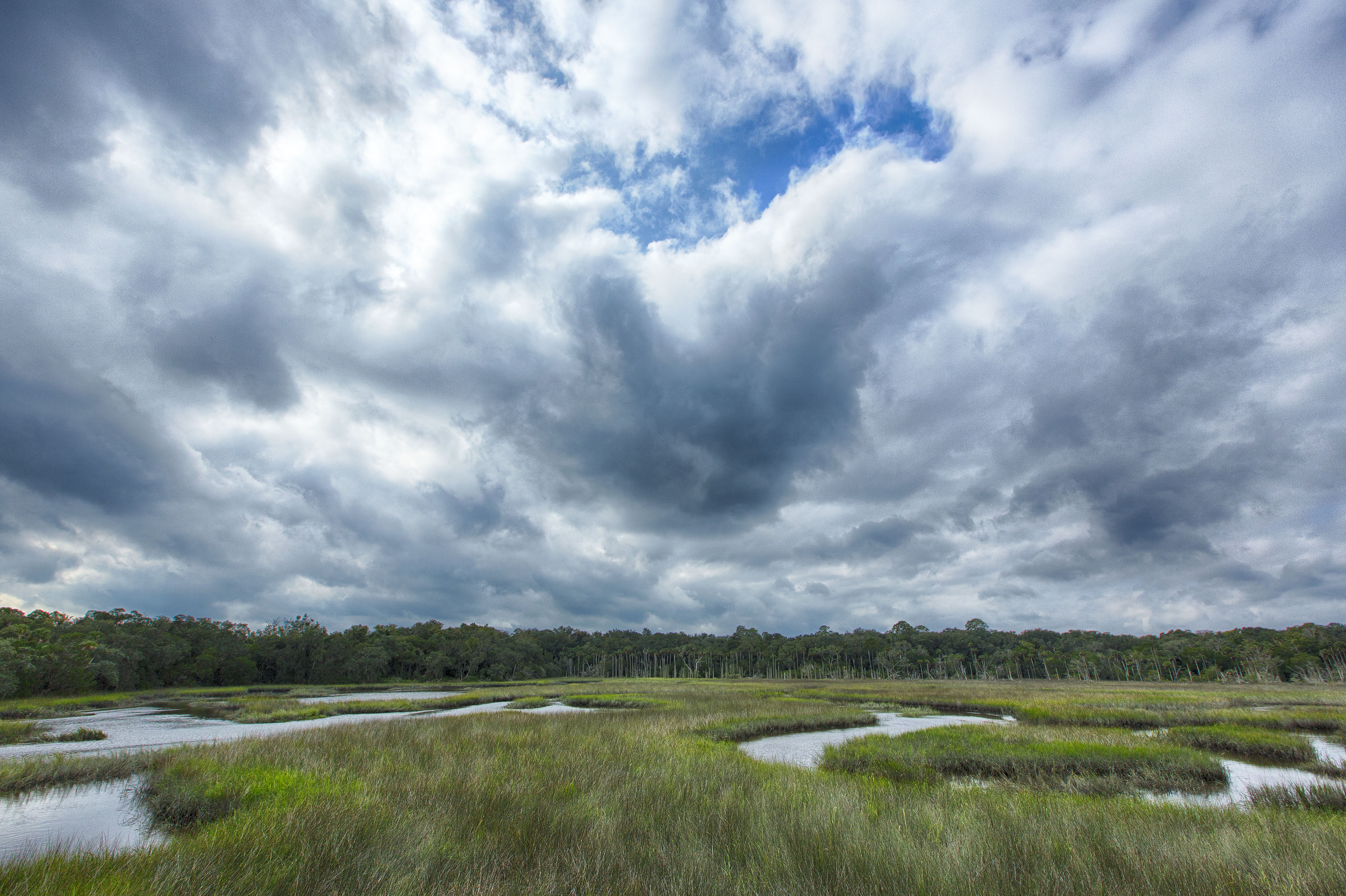
Climb the Observation Tower at Round Marsh the Park Service's write-up
40-90 Minutes · dogs allowed
Start Theodore Roosevelt Trail Head
After hiking the trails at Theodore Roosevelt Area, rest and relax atop the observation tower at Round Marsh where you will see beautiful views, smell the marsh grasses, and hear the call of shore birds.
A small bench and informational panel are situated at the top of the tower.
Accessibility No ramp is available at the observation tower.
Write-ups that name no single mapped trail, in the Service's words.
Cross the Bridge · 30-90 Minutes · dogs allowed The Cedar Point bridge connects National Park Service and City of Jacksonville trails, provides a beautiful vista, fishing and birding opportunities, and a spot to just watch the world go by.
Discover Our Partnership Parks · 120-500 Minutes · dogs allowed The power of working together is on display in this park partnership area which offers more than any one unit could provide. The 7 Creeks Recreation Area is managed by state, local, non-profit organizations, and federal agencies.
Hike the 7 Creeks Trail · 200-440 Minutes · dogs allowed · Winter, Spring, Fall Hike the seven mile, Seven Creeks partnership trail crossing through habitats and national, state, and city parks.
Hike the Hammock Trail · 20-60 Minutes · dogs allowed The Hammock Trail is a great family hike, free and located close to the urban core, this is one of the most popular trails in the park.
About these trails
The lines are the National Park Service's public trails layer, the trailheads and the waterfalls, views, peaks and historic places along them the Service's public points of interest, read 2026-10-14 and simplified for the map. The write-ups are the Service's own "things to do", unedited. Heights come from USGS 3DEP through Terrain Tiles on AWS (Mapzen/Tilezen), read along each line and rounded; a short trail on steep ground can be off by a few tens of feet. Closures change: check the park's own site before you go.