Barbara's Knoll
Views
Along the way Barbara'S Knoll

National Preserve · Kansas
17 named trails · 32 miles · 2 with the Park Service's own write-up. The lines, trailheads and points are the Park Service's; the write-ups are the Service's own words; the climbing is read from USGS elevation along each line.
17 trails, A to Z.
Views
Along the way Barbara'S Knoll
10-120 Minutes · dogs allowed
Start Bottomland Trail
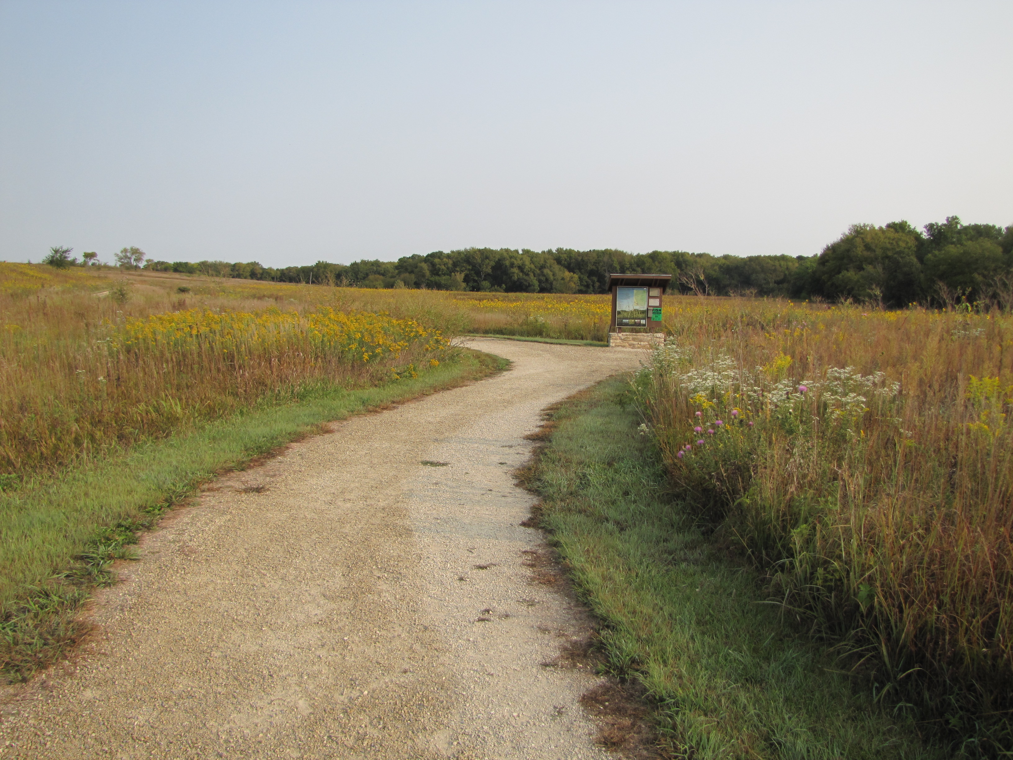
The Bottomland Trail has a fine gravel path that loops through a small meadow by the river. Interpretive signs and benches allow easy pacing for anyone. Wildflowers bloom throughout the summer. The woods and river provide ample opportunities for bird viewing. Restrooms, bike rack, and picnic tables make an ideal stop for a break from driving. This dog-friendly trail also connects with the Fox Creek Trail for longer walks.
Accessibility The fine gravel trail is level grade. Gravel width is approximately six feet wide with grassy shoulders. The northeast section of trail loop provides a few feet of shade under trees.
Views
Along the way Barbara'S Knoll
Views
Along the way Barbara'S Knoll
History
Along the way 1882 Lower Fox Creek one-room school
ViewsHistory
Along the way 1881 Spring Hill Ranch house Barn;1882 Limestone Barn Curing house Historic carriage house Historic chicken house Historic ice house Historic outhouse Historic scratch shed Southwind Trail
4-12 Hours · no dogs
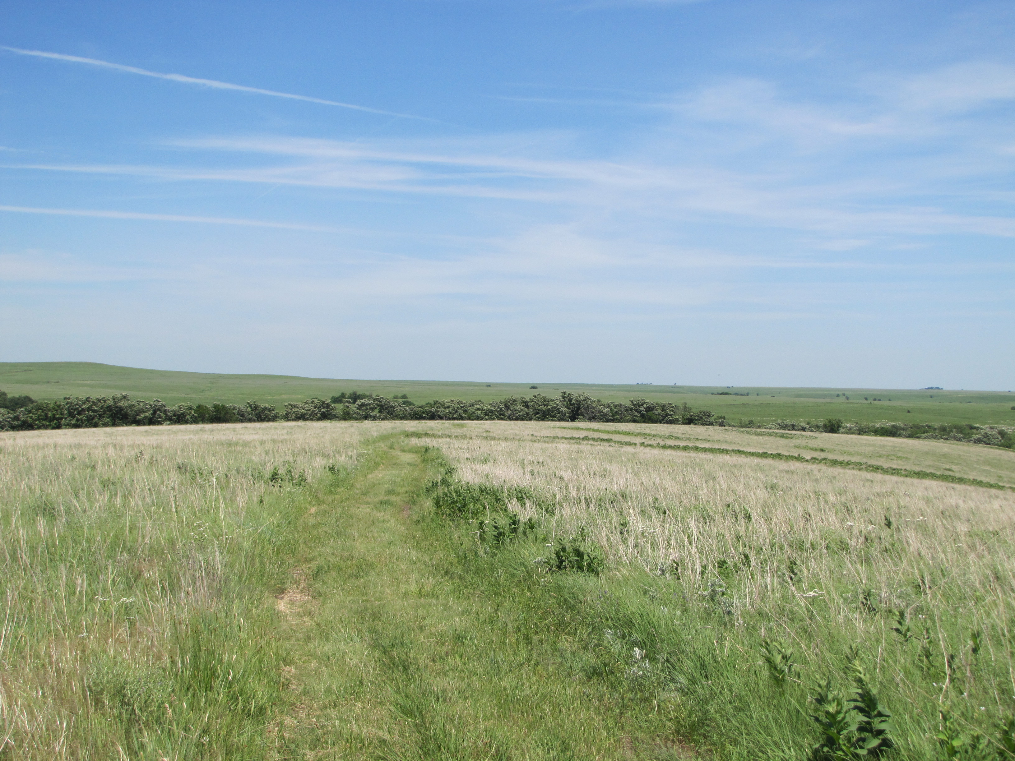
Set out along the Scenic Overlook Trail for the north end of the preserve. Enter Windmill Pasture where bison graze. Keeping a safe 100 yard distance may take patience or going off-trail. Continue north atop the ridge of Prairie Fire Loop with a grand view of the landscape. Be prepared for full exposure to Kansas weather: wind, sun, or rain. West Branch Trail ends six miles from the visitor center at marker 27 .
Marker 27 provides a tranquil place to rest. Palmer Creek has water to soak sore feet. Fossils are plentiful in the limestone. Take pictures and leave the rocks for others to enjoy. No fires, flames, or camping are permitted in the backcountry. Plan responsibly. Learn more about backcountry hiking at the preserve.
Journey back on the eastern Prairie Fire Loop with rolling hills. The elevation changes only a few hundred feet allowing fresh scenery every few minutes. The Davis Trail winds past the cattle pens connecting with the Scenic Overlook Trail . The Schoolhouse Spur detours a half-mile to a single-room schoolhouse from the 1880s.
Pets No pets are allowed in the backcountry of the preserve.
Accessibility The Scenic Overlook Trail has a grade of 1-2% or 5 degrees. The section is 12 foot gravel width and an additional 2 feet of mown grass. Elevation rises about 230 feet. Trails to the north in Big Pasture are old ranch road varying in width from 6-8 feet of stone to mown grass. Grade is steeper in some sections. Trails along hillsides slope sideways 1-2% or 5 degrees. The creek crossings can be impassable after a heavy rain. Service animals are NOT permitted.
The lines are the National Park Service's public trails layer, the trailheads and the waterfalls, views, peaks and historic places along them the Service's public points of interest, read 2026-10-14 and simplified for the map. The write-ups are the Service's own "things to do", unedited. Heights come from USGS 3DEP through Terrain Tiles on AWS (Mapzen/Tilezen), read along each line and rounded; a short trail on steep ground can be off by a few tens of feet. Closures change: check the park's own site before you go.