
Totem Trail
HistoryVisitor centers
Along the way Kiks.ádi Fort Site (Historic) and Memorial Merrill Rock (Ixt'i X'aa) Sitka National Historical Park Visitor Center
Trailheads River View Trailhead 47 ft Drive there · Totem Trailhead 30 ft Drive there · Totem Trailhead 35 ft Drive there
Take the Totem Trail the Park Service's write-up
30-90 Minutes · dogs allowed · season <p>Brown bears tend to be most active in late summer when salmon are present in the Indian River. Look for green-amber-red alerts at trailheads to find out whether bears have been seen recently.</p>
Start Sitka National Historical Park Totem Trail
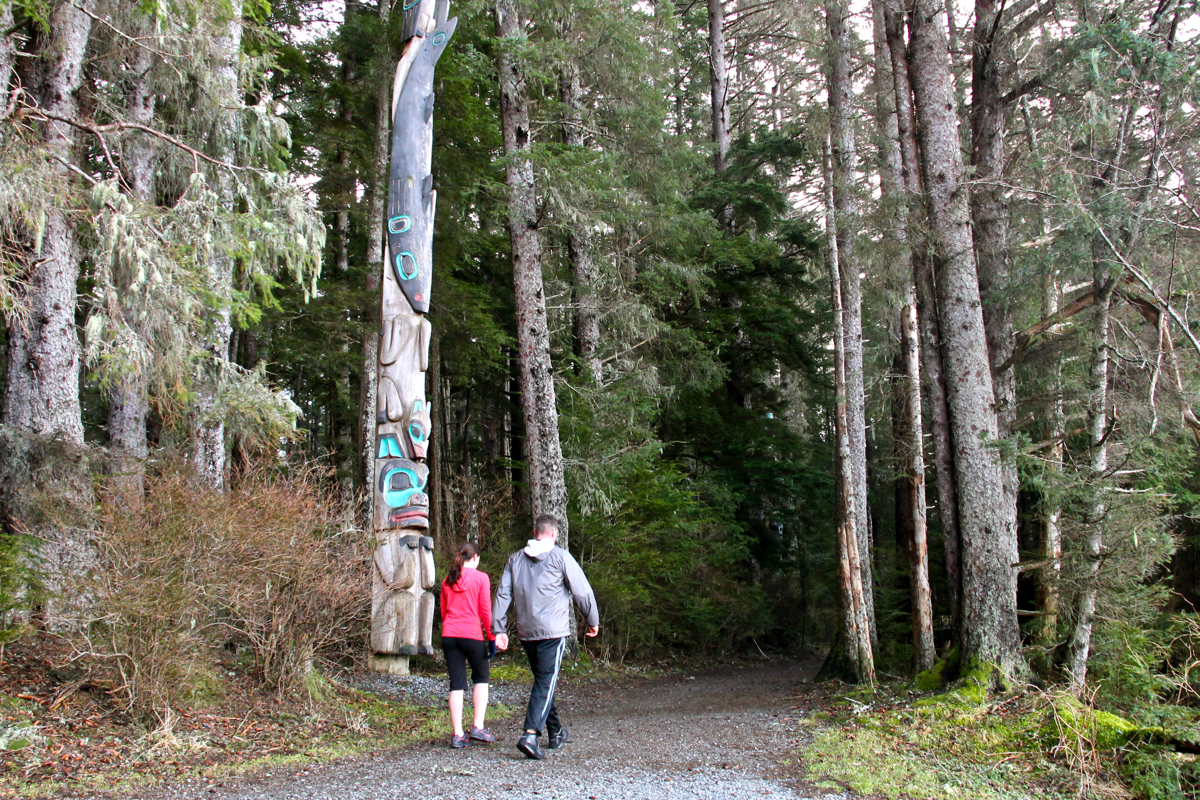
The Totem Trail features poles obtained from several Haida and Tlingit villages, the site of an 1804 battle between Russians and Tlingit, classic Southeast Alaska temperate rain forest, and vistas of Sitka Sound and the intertidal zone.
Poles acquired by Governor Brady traveled to the 1904 St. Louis World's Fair before being repaired by local carvers and placed along "Lover's Lane" in Sitka in 1906. They are a testament to a living tradition of wood carving. Several are new or second generation poles.
At the midpoint of the trail, a contemporary pole and marker at the Kiks.ádi Memorial and a grassy field mark the site of the Battle of 1804 between Russians and Tlingit.
As it passes through temperate rainforest the Totem Trail connects the poles to the natural world that inspired many of the figures found on them.
Accessibility Two accessible parking spaces are available in the visitor center parking lot. A paved trail with curb cuts leads to the visitor center from downtown Sitka. Accessible restrooms, a lowered water fountain, and an extended picnic table are available outside the visitor center. The trail is generally six feet wide, relatively flat, and paved with crushed gravel.