Amphitheater Access
Visitor centers
Along the way Peirce Mill Visitor Center

Park · District of Columbia
79 named trails · 52 miles · 4 with the Park Service's own write-up. The lines, trailheads and points are the Park Service's; the write-ups are the Service's own words; the climbing is read from USGS elevation along each line.
79 trails, A to Z.
Visitor centers
Along the way Peirce Mill Visitor Center
Picnic areas
Along the way Battery Kemble Picnic Area
HistoryPicnic areas
Along the way Miller Cabin Picnic Area = 11 Picnic Area = 12 Picnic Area = 6 Picnic Area = 7
Picnic areas
Along the way Picnic Area = 22
Exhibits
Along the way Jean Jules Jusserand Memorial
Picnic areasVisitor centers
Along the way Picnic Area = 2 East Picnic Area = 2 West Peirce Mill Visitor Center
Picnic areasBridges
Along the way Rolling Meadow Bridge Picnic Area = 10 Picnic Area = 22 Picnic Area = 25 Picnic Area = 3 Picnic Area = 5
dogs allowed
Start Valley Trail at Boundary Bridge
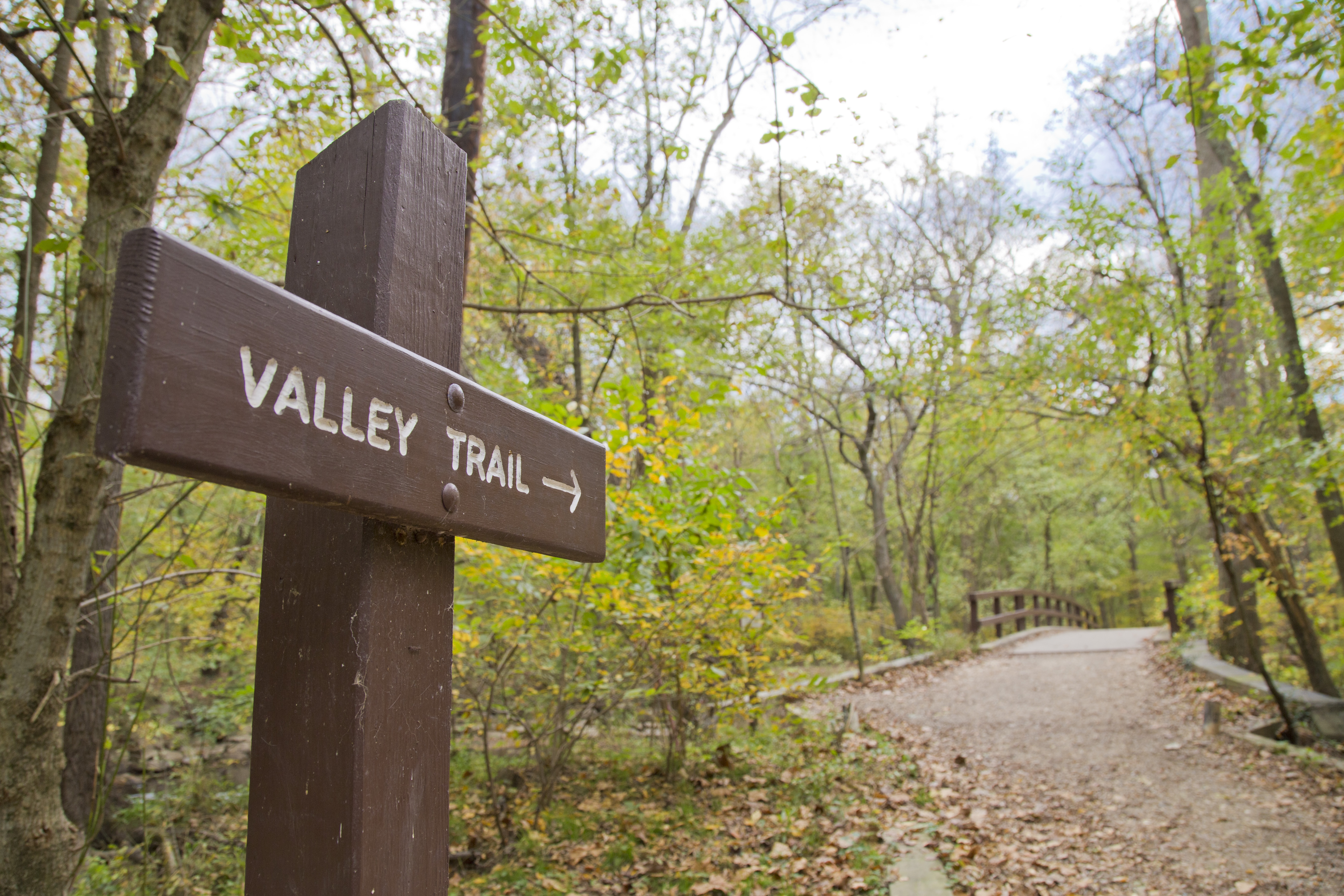
The Valley Trail is one of two major trails in Rock Creek Park. The trail is blazed with blue markers and runs close to Rock Creek. End-to-end the trail has a length of roughly five miles. This is not a loop trail.
One end of the trail begins at Boundary Bridge while the other end of the trail terminates at the paved section of the Western Ridge Trail between the Jules Jusserand Memorial and Bluff Bridge.
The Valley Trail is a narrow trail for a majority of it's length and is generally considered a trail appropriate for foot traffic only. There are a few sections of trail that are wide and flat and are also part of the Black Horse Trail.
Access to the Valley Trail can be found at:
Boundary Bridge
West Beach Drive NW
Riley Springs Bridge
Sherrill Drive NW
Rolling Meadow Bridge
Picnic Grove #6
Rapids Bridge
Boulder Bridge
Blagden Avenue
The Valley Trail does cross several roads which can have traffic on them. Please use caution when crossing streets.
Restroom facilities on this trail can be found at:
Picnic Grove #10 (seasonally or as conditions allow)
Picnic Grove #6
Picnic Grove #1
Accessibility The Valley Trail is narrow (3 feet wide or less) for most of the length of it. There will be a few sections of trail that are wider and flatter (6 feet to 8 feet across) that will accommodate horses as the trail is used as both the Valley Trail and the Black Horse Trail.
History
Along the way Animal Graveyard
Bridges
Along the way Boundary Bridge
Bridges
Along the way Riley Spring Bridge
Picnic areas
Along the way Picnic Area = 17
Picnic areas
Along the way Picnic Area = 26
HistoryBridges
Along the way Stone Bridge Old Stone Pump House
HistoryBridges
Along the way Stone Bridge Old Stone Pump House
Visitor centers
Along the way Rock Creek Park Nature Center
Bridges
Along the way Boulder Bridge
Picnic areas
Along the way Picnic Area = 2 East
Bridges
Along the way Boulder Bridge
Picnic areas
Along the way Picnic Area = 24
Picnic areasVisitor centers
Along the way Picnic Area = 2 East Peirce Mill Visitor Center
Picnic areas
Along the way Picnic Area = 1
HistoryBridges
Along the way Stone Bridge Old Stone Pump House
HistoryPicnic areasBridges
Along the way Boulder Bridge Boundary Bridge Riley Spring Bridge Rolling Meadow Bridge Miller Cabin Picnic Area = 4 Picnic Area = 5 Picnic Area = 6 Picnic Area = 8
dogs allowed
Start Beach Drive North
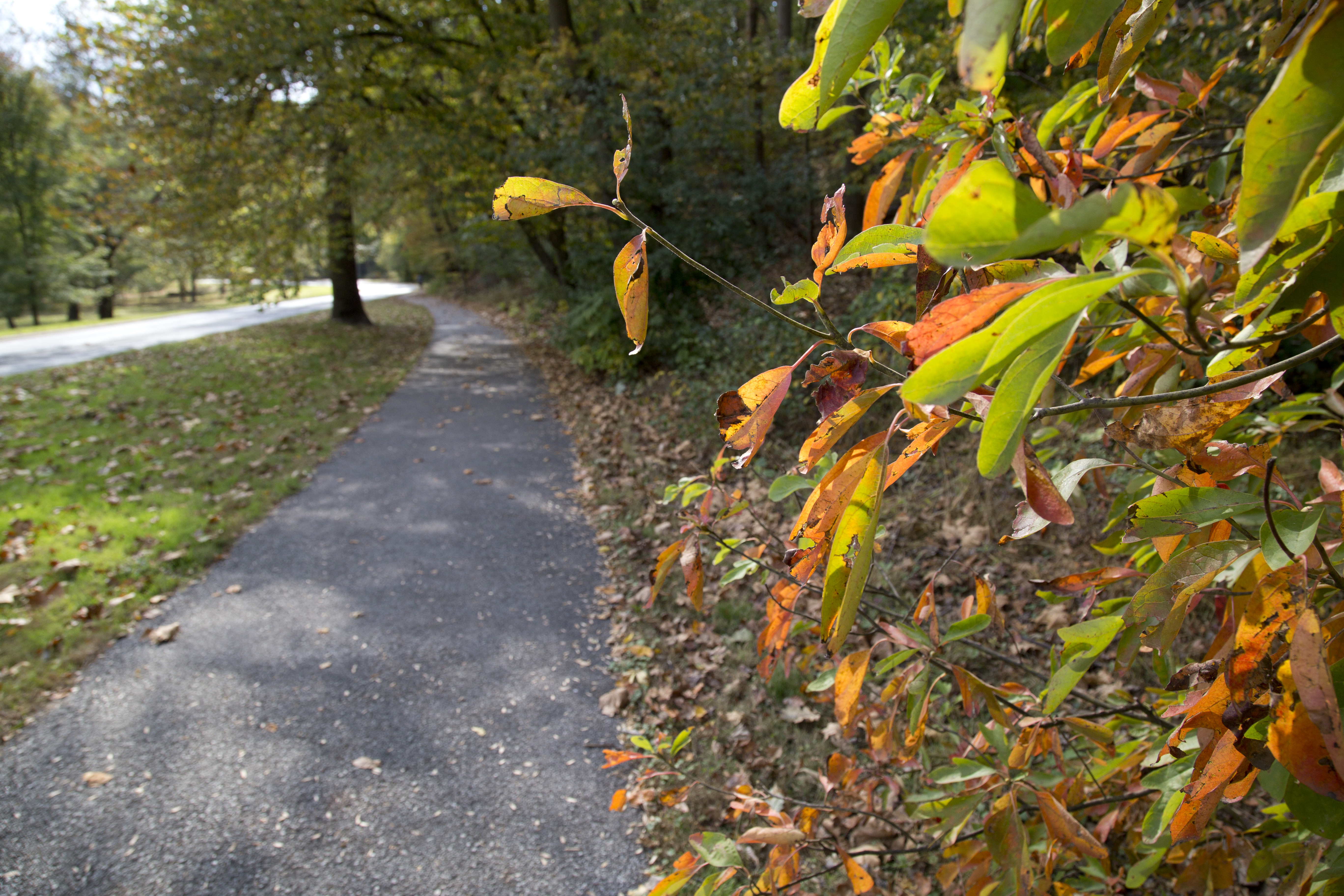
Start at Picnic Grove #6. Not only is there a large parking area, but there are bathrooms and a water fountain available. If lot #6 is full, stop in the pull out next to the bathroom if you need a pit stop before your hike, and proceed to Picnic Grove #7.
Go north on Beach Drive and follow the paved path that runs parallel to the road.
Cross over Bingham Drive and take the small dirt trail up through the trees. Stay on this trail until it comes to a T-intersection and go right.
When the trail splits again, you can follow the Pinehurst Trail (blazed in Gold) to the left. Follow the Pinehurst Trail until it crosses the Rock Creek Trail.
Follow this paved path back to Bingham Drive and then walk the paved multi-use trail to return to Beach Drive and return to your vehicle.
Looking for more of a challenge?
Use the Valley Trail instead of the paved path along Beach Drive.
Cross the creek at Rolling Meadows Bridge and use caution crossing Beach Drive to access the Pinehurst Trail on the other side.
Accessibility Ample parking is available at the picnic groves along Beach Drive. The paved multi-use trail is smooth and is about six feet in width. The multi-use trail is accessible to Bingham Drive. The bridle trail to the Pinehurst Branch is not accessible, though the trail is roughly seven feet wide, it is dirt and has occasionally roots and steps. The grade changes to bring visitors up and over the hill to the Pinehurst Branch. The Pinehurst Branch trail is a narrow pedestrian only trail that is three feet across in places. The trail dips and climbs with the elevation and traverse of the creek. It has rocks and branches that will cross it. The Rock Creek Trail is a paved multi-use trail that parallels Oregon Avenue along the western boundary of the park. For accessibility purposes, visitors might want to utilize the Bingham Drive spur of the multi-use trail and access the Rock Creek Trail until it joins the Pinehurst Branch and then double back.
3-6 Hours · dogs allowed
Start Picnic Grove #10
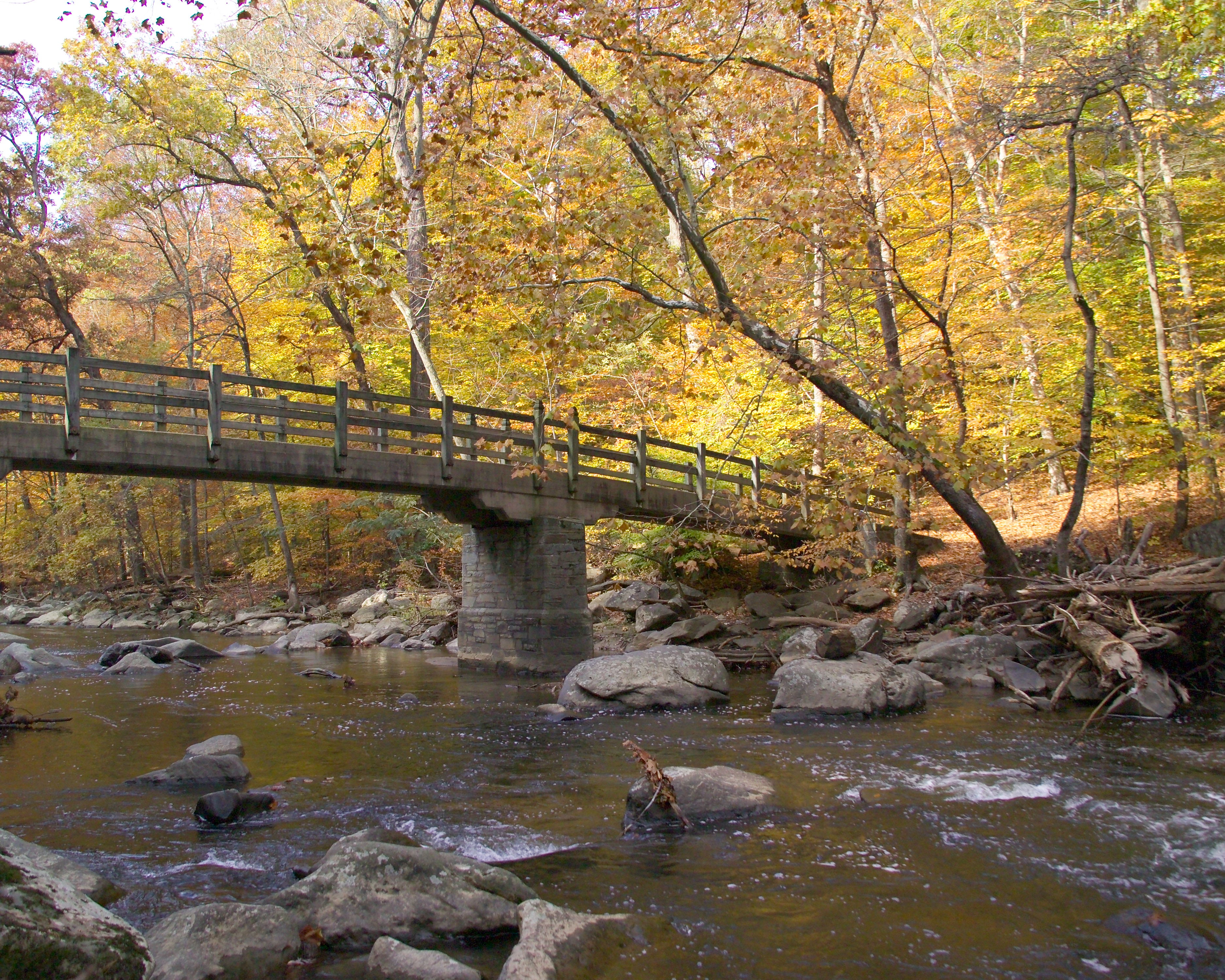
Picnic Grove #10 on Beach Drive NW is a great place to start this 8-mile loop hike. Picnic Grove #10 has access to bathrooms and an ample parking area!
As you exit the parking lot, turn right and walk along Beach Drive NW.
On Saturdays, Sundays and Holidays Beach Drive is closed to vehicular traffic and the gates will be closed. Pedestrians may pass through the gates if they are closed unless otherwise posted.
Walk along the roadway for .2 miles until you arrive at Riley Spring Bridge . Cross the bridge and turn left onto the Valley Trail. Stay on the Valley Trail as it meanders along Rock Creek by following blue blazes (or paint markings) on the trees and sign posts for 1.5 miles.
The Valley Trail brings you to Boundary Bridge which spans the creek at the District of Columbia and Maryland border. Use caution walking through the parking area at Boundary Bridge as it can be very crowded. Cross Beach Drive and take the Western Ridge Trail south for about two miles towards the Rock Creek Park Nature Center .
The Rock Creek Park Nature Center is a great place to stop for a brief rest. Hours of operation are Wednesday through Sunday 9:00 AM to 5:00 PM. Bathrooms and a water bottle filling station are available.
***Due to the COVID-19 Pandemic, the Rock Creek Park Nature Center is closed to the public at this time.***
Follow the signs for the Western Ridge Trail and continue south. You will cross Glover Road NW and Ridge Road NW as you head towards Picnic Grove #13 and the trailhead . Continue on this trail past equitation field and take Cross Trail #9 to the left after you pass equitation field. You will cross Ridge Road--use caution as this road is open to motor vehicles.
Cross Trail #9 will terminate at Beach Drive. Turn Left onto the roadway and cross Boulder Bridge. Immediately after crossing Boulder Bridge, look to the right and get onto the Valley Trail. This narrow and rugged trail will take you up and over one of the many hills in the park. Stay on the Valley Trail for about one half mile before turning left towards Beach Drive. Turn right and cross Beach Drive. Rapids Bridge will be just ahead of you on the left.
Rapids Bridge crosses Rock Creek and terminates on the Black Horse Trail. Turn right on the Black Horse Trail and take it until you arrive at Joyce Road NW. Turn right and head towards Beach Drive. Pick up the Valley Trail on the far side of Beach Drive and turn left to head north.
Stay on the Valley Trail for almost a mile. You will come to Rolling Meadow Bridge . Cross the bridge and turn right onto Beach Drive. Follow Beach Drive to return to your vehicle at Picnic Grove #10.
Accessibility The Bridge Loop Hike can be adjusted to be accessible, though it will change the mileage traveled. Several lengths of the trail use closed sections of Beach Drive. If the Valley Trail is too rugged or narrow (Valley Trail widths average only 3 ft), an alternative is to remain on Beach Drive instead. Most of the Western Ridge Trail is either a broad bridle trail or runs close to the paved Rock Creek Hiker Biker Trail. The steep descent at Cross Trail #9 is the most challenging portion of the route. A less hazardous descent can be found by following the Western Ridge Trail to Beach Drive and then following Beach Drive north to Boulder Bridge. The foot bridges spanning the creek are generally wider than six feet and are covered with a paved roadway or concrete pathways. Beach Drive is closed to motor vehicle traffic on Saturdays, Sundays and holidays.
dogs allowed
Start Valley Trail at Boundary Bridge
The Valley Trail is one of two major trails in Rock Creek Park. The trail is blazed with blue markers and runs close to Rock Creek. End-to-end the trail has a length of roughly five miles. This is not a loop trail.
One end of the trail begins at Boundary Bridge while the other end of the trail terminates at the paved section of the Western Ridge Trail between the Jules Jusserand Memorial and Bluff Bridge.
The Valley Trail is a narrow trail for a majority of it's length and is generally considered a trail appropriate for foot traffic only. There are a few sections of trail that are wide and flat and are also part of the Black Horse Trail.
Access to the Valley Trail can be found at:
Boundary Bridge
West Beach Drive NW
Riley Springs Bridge
Sherrill Drive NW
Rolling Meadow Bridge
Picnic Grove #6
Rapids Bridge
Boulder Bridge
Blagden Avenue
The Valley Trail does cross several roads which can have traffic on them. Please use caution when crossing streets.
Restroom facilities on this trail can be found at:
Picnic Grove #10 (seasonally or as conditions allow)
Picnic Grove #6
Picnic Grove #1
Accessibility The Valley Trail is narrow (3 feet wide or less) for most of the length of it. There will be a few sections of trail that are wider and flatter (6 feet to 8 feet across) that will accommodate horses as the trail is used as both the Valley Trail and the Black Horse Trail.
dogs allowed
Start Jean Jules Jusserand Memorial
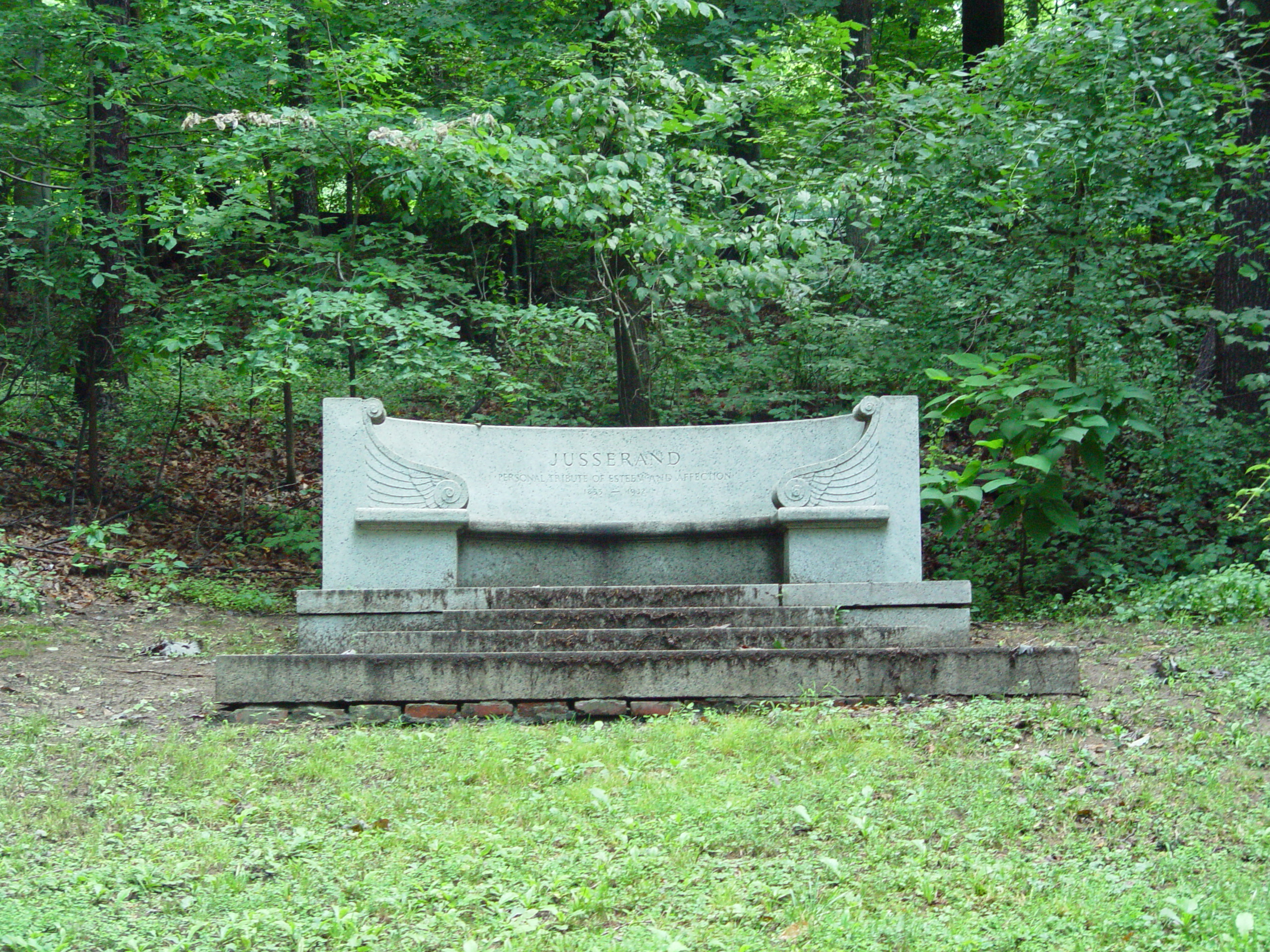
“President Roosevelt gave me that unique proof of trust and friendship when he asked me to walk. What the President called a walk was a run: no stops, no breathing time, no slacking of speed, but a continuous race, careless of mud, thorns, and the rest.”--"What Me Befell" Jean Jules Jusserand
Jean Jules Jusserand was the French Ambassador to the United States from 1902 to 1925. He and President Theodore Roosevelt shared a love of the outdoors and they were frequent visitors to Rock Creek Park.
The Jean Jules Jusserand Memorial was dedicated in 1936 by President Franklin Delano Roosevelt. This five mile hike will have you following in the footsteps of Ambassador Jusserand and President Roosevelt.
Start at the large parking area at the Rock Creek Park Tennis Center. Go to Picnic Area #24 where there is a bathroom. Take the trail at the rear of the picnic area down to the Valley Trail. Use caution, this trail is steep and could be slippery!
At the junction with the Valley Trail, turn left and follow this narrow, foot-only trail.
Stay on the Valley Trail and follow it past iconic Boulder Bridge and up and over Pulpit Rock.
Take the Roosevelt Spur to the intersection of Beach Drive NW and Blagden Avenue North West. Carefully cross Beach Drive and continue to the right towards Broad Branch and turn left into the Picnic Grove #2 North Parking Area.
Take the paved multi-use trail towards Peirce Mill, stay on the paved portion of trail as it passes along the creek behind the mill and under the Tilden Street Bridge.
The paved path passes Picnic Grove #1 and then crosses a foot bridge. Three hundred feet down the trail you will see an informational panel for the memorial, which sits on a slight rise across Beach Drive from the trail.
To return to your vehicle, return the way you came via the multi-use trail, Theodore Roosevelt Spur and the Valley Trail.
If Beach Drive is closed to vehicular traffic, you might choose to return to your vehicle this way. Access the Valley Trail near Rapids Bridge.
Please use caution when crossing roads or walking in roads with shared vehicular and recreational traffic. Stay on the shoulder when possible. Allow others to pass.
Accessibility The Valley Trail is a foot-only trail that parallels the creek and Beach Drive. It is very narrow and rugged, sometimes dropping to less than two feet in width. It is often crossed by tree roots and rocky boulders. This trail is not accessible and is considered challenging. The ascent up and over Pulpit Rock and the descent down the Theodore Roosevelt Spur is also narrow--sometimes dropping to less than one foot wide. For a roughly five-mile accessible option use Beach Drive. Beach Drive is closed in sections on Saturdays, Sundays and Holidays. Park at Picnic Grove #6 and use the multi-use trail to access the closed section of Beach Drive near the US Park Police sub-station. Follow Beach Drive for 1.5 miles to the intersection of Broad Branch Road. Cross Broad Branch Road and go through the Picnic Grove #2 North Parking Area to access the multi-use paved trail. Take it towards Peirce Mill and follow the paved path to the informational way-side.
dogs allowed
Start Milkhouse Ford
For your convenience, this trail is blazed with yellow tape wrapped around signposts.
Directions from the Nature Center:
Walk straight out the front door along the paved path past the Edge of the Woods Trail sign to where the trail forks right. Bear right. This is the Western Ridge Trail. Follow it towards Boundary Bridge.
Cross Military Road. (Press button and wait for signal first.)
Continue straight for 250 feet. The paved path will go slightly up the hill.
Turn right at the outdoor exhibit about Fort DeRussy. This is a six-foot tall sign with information about Fort DeRussy, NOT the smaller sign on the corner in the open field that says "Fort DeRussy."
In 100 feet, go straight to stay on the dirt trail. Do not stay on the paved path. The earthen walls of Fort DeRussy will soon be on your left.
After the fort, continue down the trail. You will be descending into the Rock Creek Valley. Use caution as the trail can get slippery.
Veer to the left when you get to the bottom of the hill. There is a tree trunk that is split on either side of the trail to allow people to pass near the trail intersection. Do not go towards the Military Road overpass.
Hike along the creek (up-stream) for ¼ -mile and look for a two-room log cabin across Rock Creek. Joaquin Miller, an eccentric poet, lived in this cabin in another part of the city—Meridian Hill—in the 1880s. It was moved to Rock Creek Park to preserve it in the early 1900s.
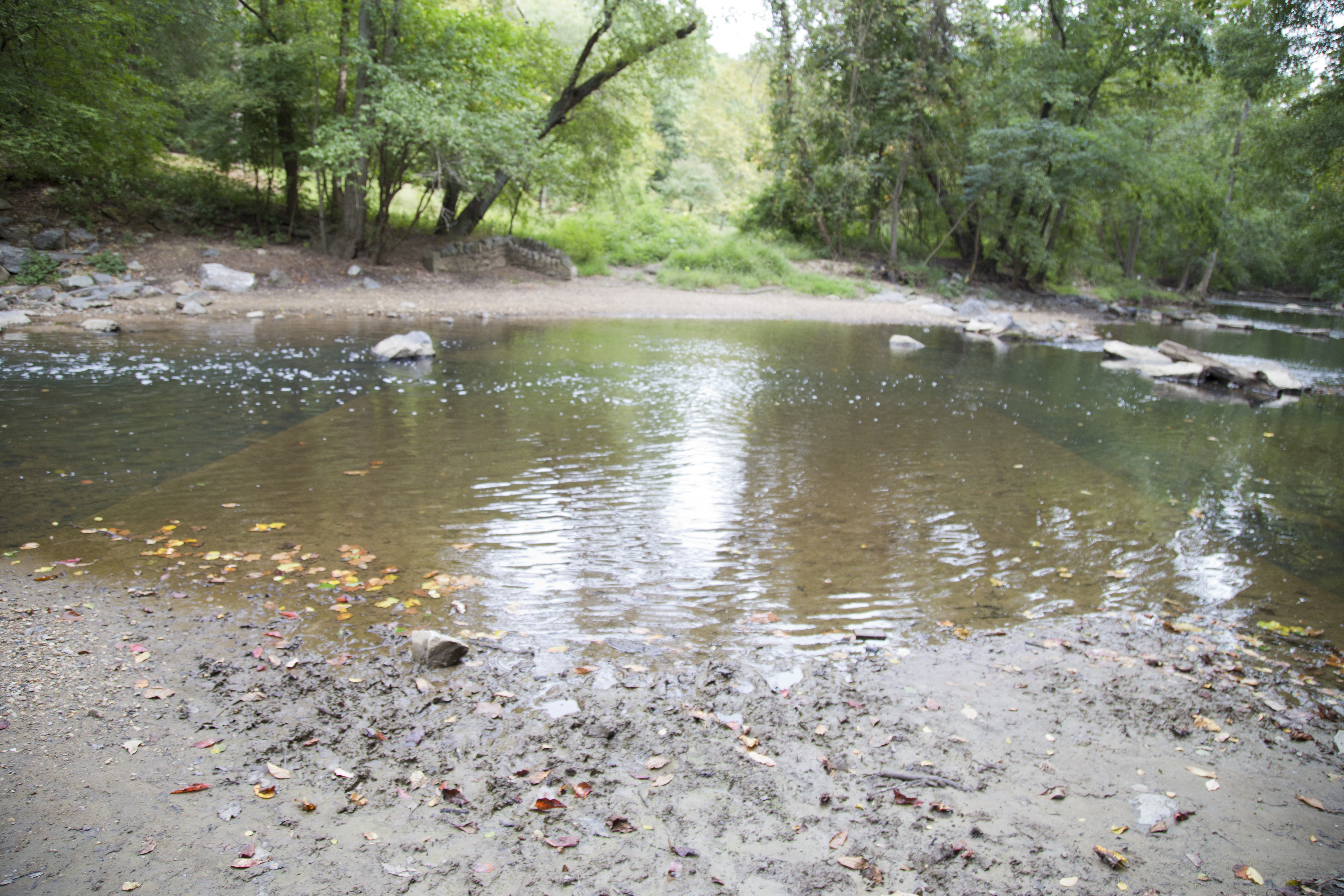
Just north of the cabin, look for an old road that runs into the creek. This is Milkhouse Ford. First paved in 1904, people used to drive through the creek—a major thoroughfare at one time—until the 1990s.
For the health and safety of visitors and their pets, swimming and wading in Rock Creek Park is not permitted.
Walk up the old roadbed (away from the creek) for about 100 feet. The Cross Trail will be on your left.
Follow the tributary up the gentle slope. Archeological evidence along this trail indicates that it may be 5,000 years old and one of the oldest in the park. Originally used by indigenous peoples to ford the creek and access a quarry and spring (which feeds the tributary) the trail was later used by European settlers and was eventually expanded to accommodate wagons. It was later closed and has reverted to a foot trail.
Turn left on the Western Ridge Trail (green blazes). Follow this paved trail back across Military Road and return to the Nature Center.
Accessibility Most of the Milkhouse Ford Trail consists of bridle trails roughly six to eight feet in width. If the dirt path past Fort DeRussy seems too steep or impassable due to rains making the gravel loose, the paved multi-use trail is a good alternate choice. Use caution as the steep grade can make the descent challenging. A naturally occurring deposit of sand at the ford can be difficult to pass.
45-120 Minutes · dogs allowed
Start Parkside Drive NW Entrance
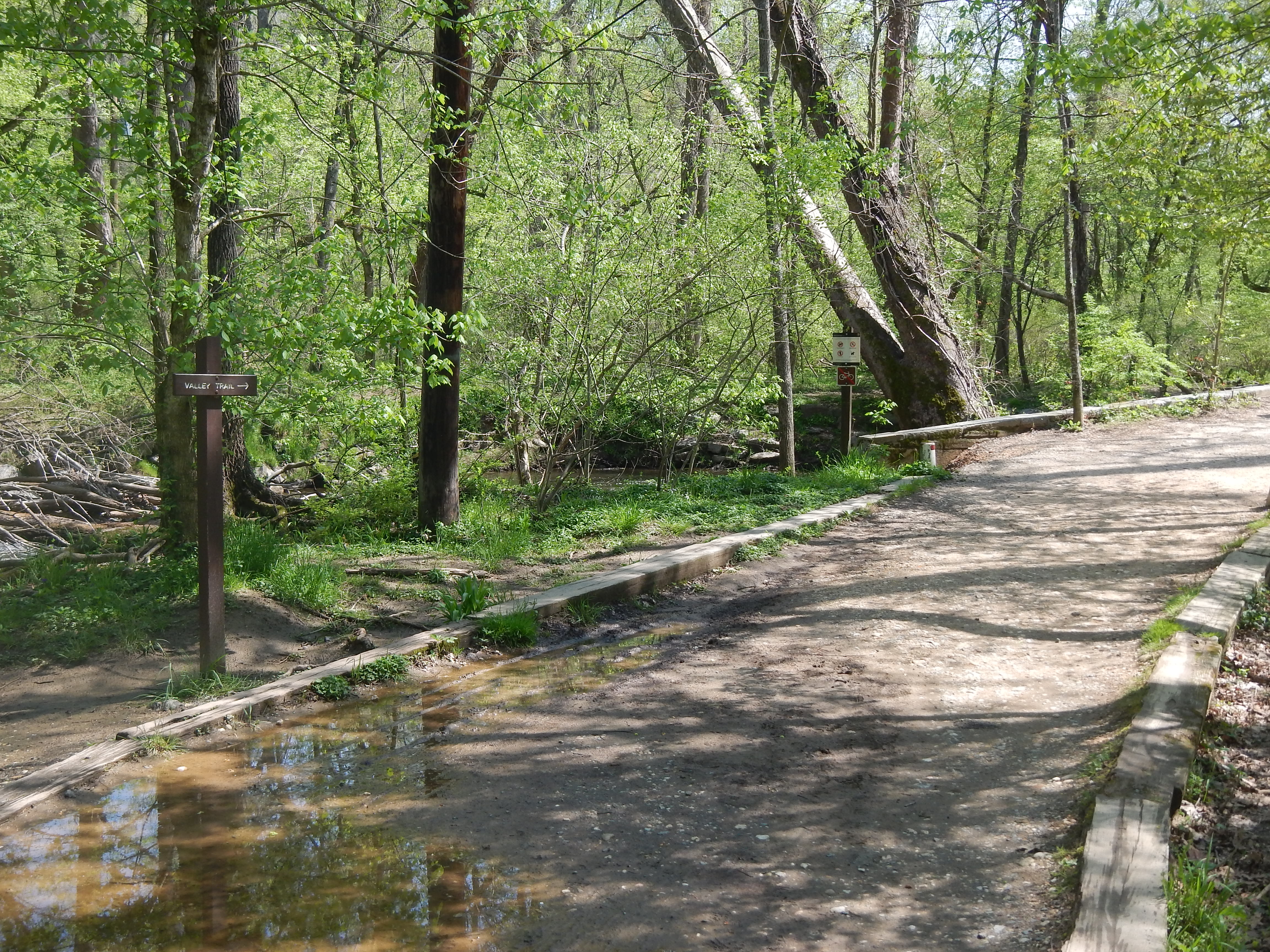
Enjoy this 1.5 mile hike in the northern section of Rock Creek Park. In the spring time, this area is a great place to come look for spring ephemerals.
A spring ephemeral , is a perennial plant that emerges in the spring for a brief period of time before dying. The underground parts are all that remain after this hsort growth and reproduction cycle.
This area is maintained by Rock Creek Park resource specialists who use chemicals to keep the toxic non-native invasive plants from squeezing the native spring ephemerals out. Learn about the native species and how to identify them and keep your eye out for the non-native invasives.
Accessibility Access from the Parkside Drive NW side of the loop trail requires a descent from a paved city street down a series of half a dozen wooden rail-road tie stairs. From Boundary Bridge, the trail is wide but the surface is often soggy and waterlogged as it is in a flood plain. The trail width varies and can be as narrow as two feet in width or as wide as five or six feet depending on the terrain. Overall, the trail is level and the path is smooth.
ExhibitsPicnic areasVisitor centers
Along the way Jean Jules Jusserand Memorial Picnic Area = 1 Picnic Area = 12 Picnic Area = 13 Picnic Area = 14 Picnic Area = 15 Picnic Area = 16 Picnic Area = 17 Picnic Area = 18 Picnic Area = 2 East Picnic Area = 2 West Picnic Area = 27 and 2 more
dogs allowed
Start Rock Creek Park
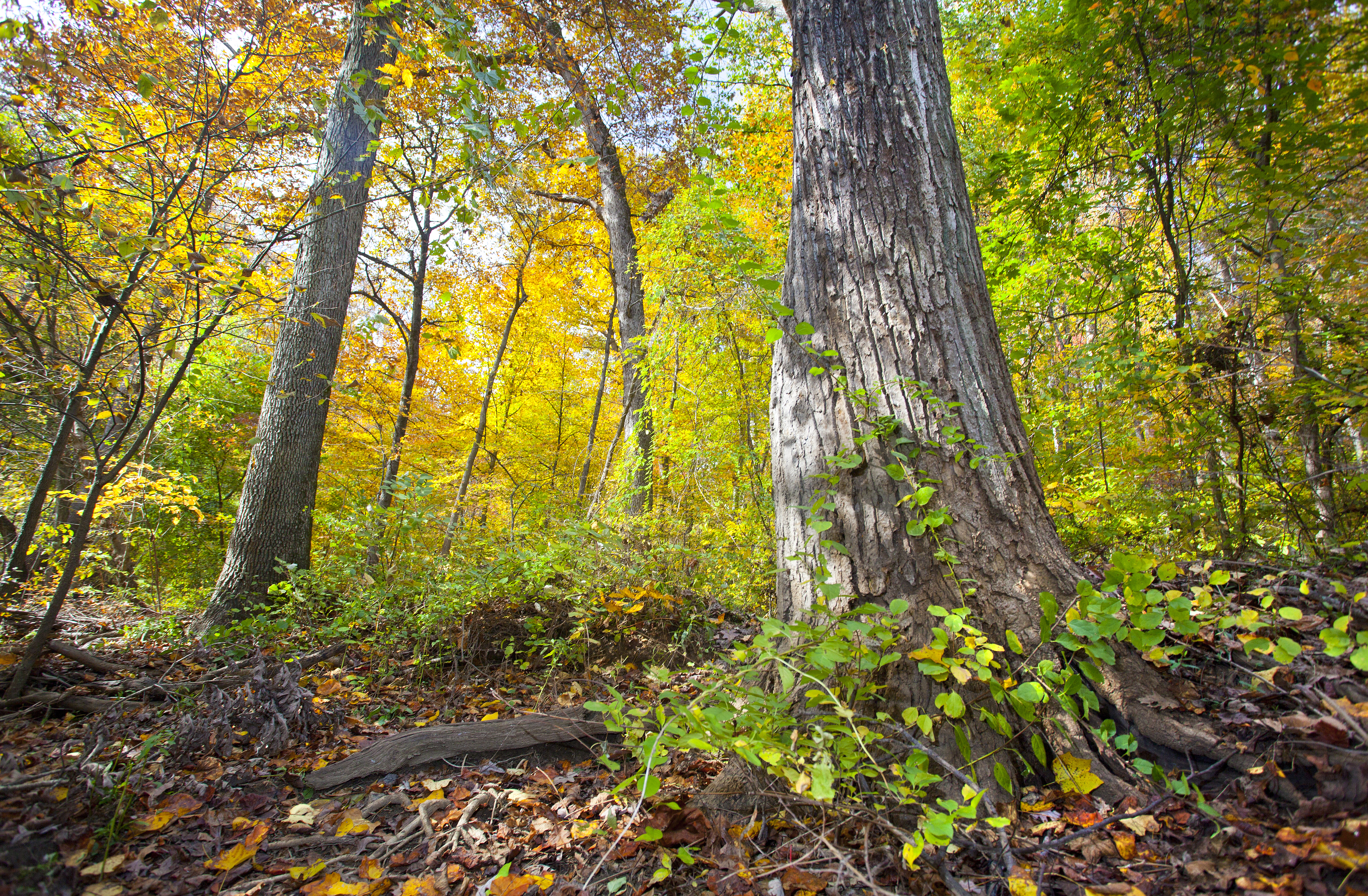
Come explore Rock Creek Park! A natural oasis in our nation's capital, the park was officially authorized in 1890, making it the third-oldest national park designated by the federal government. Today, Rock Creek Park manages 99 pieces of land and nearly 3,000 acres in northwest and part of northeast Washington, DC. Park sites offer visitors the opportunity to escape the bustle of the city and find a peaceful refuge with majestic trees, wild animals, fresh air, recreational opportunities, and thousands of years of human history!
Accessibility Service Animals Service animals are allowed in national parks. For a definition of a service animal, please see the Americans with Disability Act (ADA) definition. Facilities Nature Center and Planetarium: Fully wheelchair accessible. Persons with wheelchairs or with mobility concerns can use an outside accessible ramp to reach the planetarium or lower level of the Nature Center. Peirce Mill: The lower two levels of are wheelchair accessible (separate entrances). The third and fourth floor are of Peirce Mill are only attainable by ascending steep stairs. Staff will provide a description of equipment found on the upper levels for any visitors unable to reach it. Old Stone House: The first floor of the and a portion of the the garden are wheelchair accessible. The upper floors are reached by narrow winding stairs. Staff will provide a photo tour of the upper floors for any visitors unable to reach it. Meridian Hill Park: The northern portion of is wheelchair accessible. Due to its historic architecture, the south end of Meridian hill park is not wheelchair accessible. Trails The Edge of the Woods Trail is located next to the Nature Center. This 1/4 mile paved loop is fully accessible. Programs Assistive listening devices are available by request for Ranger led program with three days of advance notice . If you would like to request an American Sign Language interpreter, please notify us two weeks in advance. Contact us.
120 Minutes · dogs allowed
Start Access to trails

Explore the northern section of Rock Creek Park on this roughly five-mile loop. The loop will take park visitors along the Valley Trail , Black Horse Trail, Western Ridge Trail , Rock Creek Park Trail and connects to portions of the Potomac Heritage Trail .
Begin your hike at the Rock Creek Park Nature Center and Planetarium . Follow the paved multi-use trail down the hill towards Military Road NW. Cross Military Road NW and continue on the paved trail until you see the large sign for Fort DeRussy . Turn right and continue on the trail. You can either take the paved bike trail (Bike Trail #3) down towards the creek or follow the dirt path past Fort DeRussy (this is the Fort DeRussy Trail/White Horse Trail/Potomac Heritage NST).
Turn left and follow the Black Horse Trail along the creek (headed upstream). You will soon arrive at Milkhouse Ford .
*Do not ford the creek. Swimming, wading and bathing in the creek is not safe.
Follow the old road up towards Beach Drive NW and cross the bridge using the sidewalk. The Black Horse Trail will pick up on the other side of Beach Drive NW.
The Black Horse Trail will join with the Valley Trail and continue up stream. Enjoy the sounds of flowing water along this broad section of bridle trail.
At Rolling Meadow Bridge , the Valley Trail becomes a foot traffic only trail. This means it becomes slightly more challenging and narrower. The Valley Trail remains suitable for foot traffic only between Rolling Meadow Bridge and Riley Spring Bridge . The Valley Trail re-joins the Black Horse Trail at this point.
Continue on the Valley Trail all the way to Boundary Bridge . In the spring time, this northern flood plain near the bridge is a great place to see the spring ephemeral wild flowers like Virginia blue bell, may apple, and jack-in-the-pulpit.
Cross Boundary Bridge and follow the green blazes for the Western Ridge Trail . The trail will double as the White Horse Trail. You will cross Wise Road NW, Bingham Drive and Horse Stable Road.
If you would prefer and easier trail, you might choose to follow the Western Ridge Trail/White Horse Trail until you reach Wise Road NW and turn right onto Wise Road NW.
*Use caution. Wise Road NW is open to vehicular traffic.
Turn left onto Oregon Avenue NW and get onto the Rock Creek Trail. This trail is paved and runs parallel to Oregon Avenue NW to the intersection at Military Road NW.
Return to your vehicle at the Nature Center
Accessibility Ample parking is available at the Rock Creek Park Nature Center. The paved multi-use trail is smooth and is about six feet in width. Sections of this hike are fully accessible as they utilize the paved bike trails or multi-use trails. The bridle trails (White Horse Trail and Black Horse Trail) are not fully accessible, though the trail is roughly seven feet wide, it is dirt and has occasional roots and steps. Sections of the valley trail are narrow, rocky or otherwise could be challenging. The trail follows the natural contour of the land as it follows the creek.
120 Minutes · dogs allowed
Start Rock Creek Park
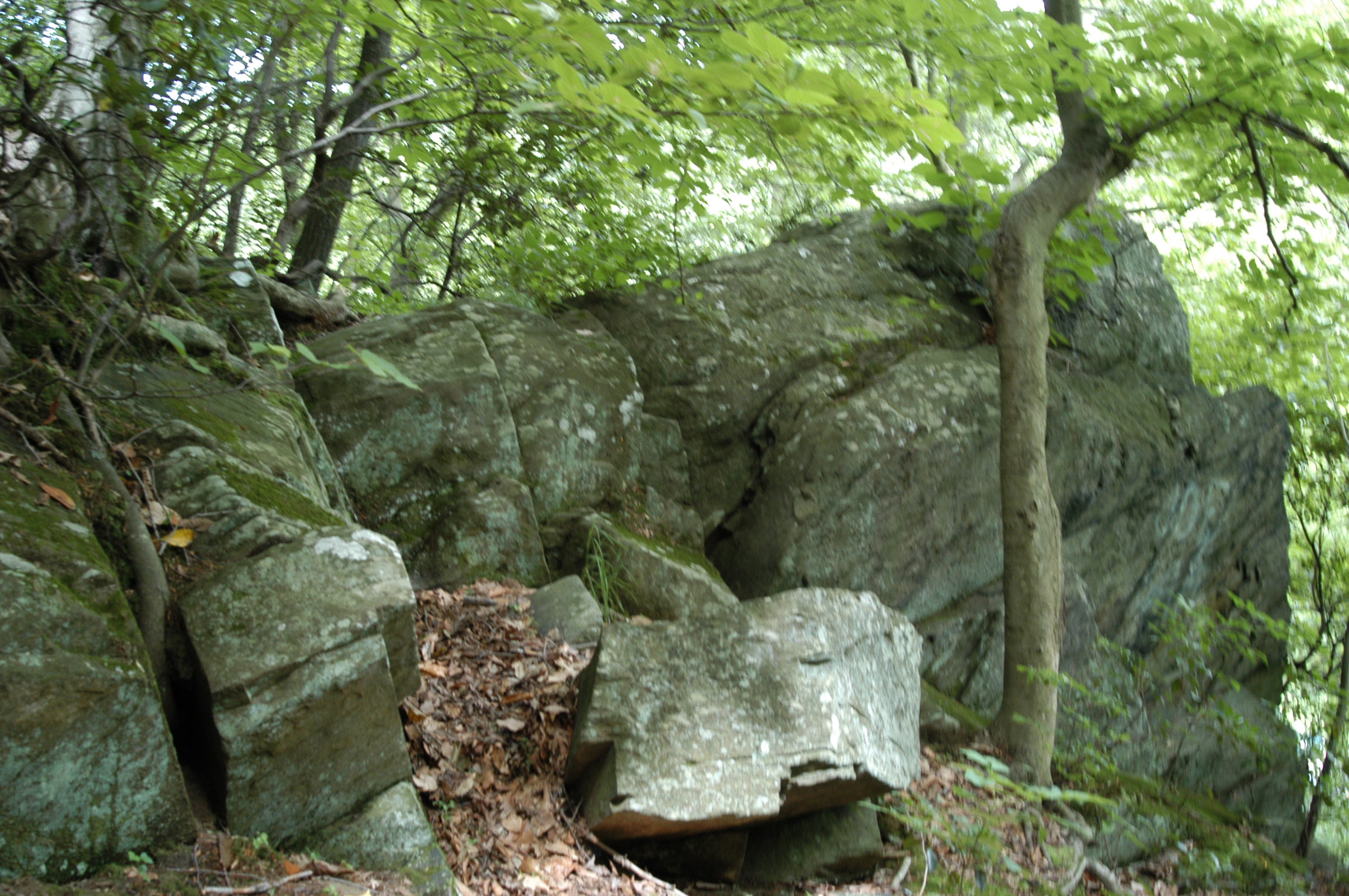
The southern loop in Rock Creek Park provides visitors with numerous options to enjoy the southern portion of the main reservation of Rock Creek Park.
Start your trip at Picnic Grove #13 and walk towards the trailhead for the Western Ridge Trail. Use caution as you will have to cross Grant Road NW, which is open to vehicular traffic.
The Western Ridge Trail occasionally joins or comes close to the White Horse Trail. Visitors can choose to walk along the bridle trail (which is wider and flatter generally) or stay on the foot trail.
The Western Ridge Trail will come out at the intersection of Beach Drive and Broad Branch Road NW. Visitors have a choice of how to navigate the second half of the loop.
Option #1: Return via the Black Horse Trail. This trail will run along and above Rock Creek from Broad Branch Road NW all the way to Joyce Road NW.
Option #2: Return via the Roosevelt Spur over Pulpit Rock and the Valley Trail. This trail is narrow and rugged, with a steep elevation change over Pulpit Rock. This challenging trail will take park visitors along the edge of the creek and past the site of the former Blagden/Argyle Mill. The Valley Trail is on the opposite side of Beach Drive NW from Rock Creek, meaning creek views (and the noise from the creek) will be few and far between, but you will have an opportunity to see iconic Boulder Bridge . The Valley Trail will terminate just behind the District #3 Substation near the intersection of Beach Drive NW and Joyce Road NW.
Option #3: On Saturdays, Sundays and Holidays visitors might choose to enjoy an easy stroll along Beach Drive NW. The road is closed to automobiles and is a family-friendly, accessible way to complete the Southern Loop. This method of return will allow visitors to walk beside the creek on a surface with no hazards and little to no elevation change. Beach Drive is open to vehicular traffic beyond the gates at the District #3 Substation.
Visitors can choose to return to the Rock Creek Park Nature Center and their vehicles at Picnic Grove #13 by turning up the White Horse Trail at Picnic Grove #22 or by continuing under the Military Road NW overpass and using Bike Trail #3 or the Fort DeRussy Trail.
Accessibility Some options for the Southern Loop are more accessible than others. Portions of the trail rated for foot traffic only will be narrow (4 feet wide at most) and have many roots and rocks crossing the packed dirt trail. Sections of the trail that join with the bridle trails will be wider (up to 8 feet in width) which are flatter and have less debris. These trails will have elevation changes that some may find challenging. The last option is the most accessible and is available on Saturdays, Sundays and Holidays when the road is closed to vehicular traffic. Using Beach Drive NW is the most accessible return route and provides a wide, flat and relatively elevation free way to navigate the park.
dogs allowed
Start Western Ridge Trail at Boundary Bridge
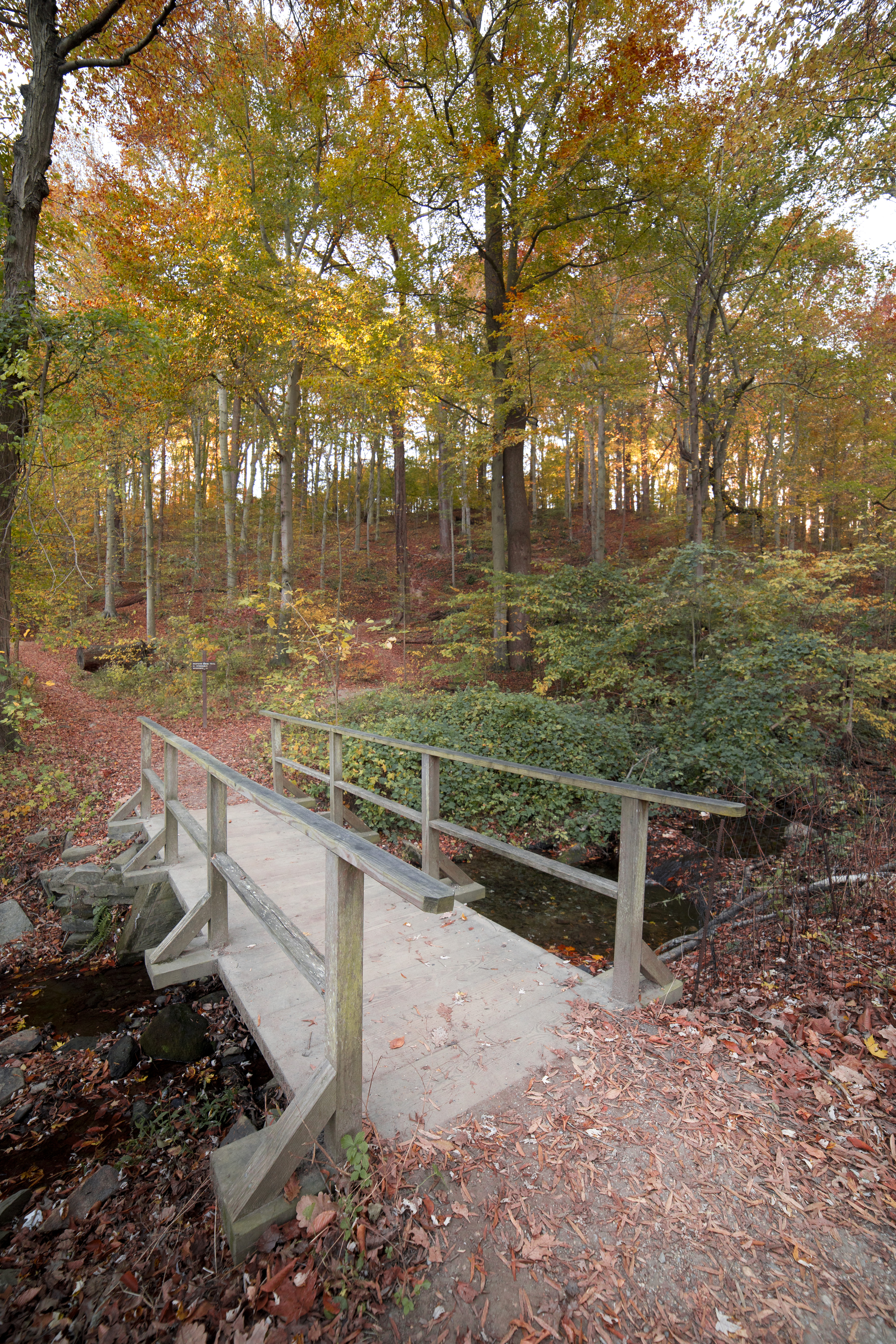
The Western Ridge Trail in Rock Creek Park is one of two major trails that run north-south through the park. The trail is marked with light green blazes or markings and runs from Boundary Bridge at the border between the District of Columbia and Maryland south to Bluff Bridge.
Large sections of the trail in the northern section double as portions of the Black Horse Trail. In these sections, the trail is wide and relatively free of debris like rocks and roots. Other sections of the trail are paved and are considered a part of the Rock Creek Park Multi-Use bike trail.
In the southern-most section of the trail which runs from Peirce Mill to Bluff Bridge the trail splits and offers up two options, one considered moderate and the other considered challenging. The Challenging route takes visitors across exposed rock faces and the trail is almost non-existent. The moderate route goes up and over the face of the exposed rock but it does require some long stretches of ascent and descent.
The Western Ridge Trail runs for a distance of just over five miles and traverses the slight ridge that runs the length of the west side of the park. There are not many creek views on this hike except for the southern most mile.
There are few facilities available on this hike. Restrooms can be found at the Rock Creek Nature Center and Planetarium (when open), behind Peirce Barn and at Picnic Grove #1 .
Accessibility The Western Ridge Trail crosses over sections that are paved, wider to accommodate horse travel and some that are extremely narrow and are rated as being challenging and not accessible.
Picnic areas
Along the way Picnic Area = 16 Picnic Area = 17 Picnic Area = 18 Picnic Area = 22 Picnic Area = 28
90-200 Minutes · dogs allowed
Start White Horse Trailhead

Overview:
This 4-mile loop hike travels through the forest and along the creek. President Theodore Roosevelt frequented this area of the park 100 years ago.
Directions from Rock Creek Park Nature Center and Planetarium
Begin by Parking at the Rock Creek Park Nature Center and Planetarium, located at 5200 Glover Road Northwest Washington, DC. If the parking there is full you can park at either Picnic Grove #13 (located at the split for Ridge and Glover roads near Military Rd) or in the parking area for the Maintenance Yard located at 5000 Glover Road NW.
Exit the Nature Center and turn left out the door. Walk back through the parking lot toward the Rock Creek Park Horse Center.
Take a sharp left into the Horse Center complex and keep left.
Walk past the small parking lot and gray barn towards the outdoor corrals. Look for the dirt trail to the left of the corral fence. This is the trail head for the White Horse Trail.
Stay straight on the path (do not take the split to the right). Walk down the hill towards the creek (roughly half a mile). You will come to a roadway, this is Ross Drive at Picnic Grove #22 .
Cross Ross Drive and follow the dirt path as it parallels the roadway towards Beach Drive (to the right)
Take a right just before the automobile bridge that crosses Rock Creek.
Heading downstream, listen to the fast-flowing water—i.e., rapids. This is the fall zone, a geologic transition zone where the Piedmont Plateau (harder rock) meets the Atlantic Coastal Plain (softer, sedimentary rock).
After hiking along the creek for a half mile, enjoy the view from the center of Rapids Bridge
Cross Rapids Bridge.
Turn right on Beach Drive and follow Rock Crek downstream. This will provide you with a beautiful panorama of Boulder Bridge .
Cross Boulder Bridge and stay on Beach Drive until you come to the gates at the intersection with Broad Branch Road. The trails returning to the Nature Center will be in the trees behind you and to the right. You will see a small white four way sign in the grass. The trailhead to come north is just beyond it.
Follow the signs for the Western Ridge Trail and take it north back towards the Rock Creek Park Nature Center. You will follow the light green blazes.
Walk by the horse turn-out at equitation field. Follow the “foot traffic only” signs when the trail veers off the wider horse trail.
After ¾ of a mile, the trail seems to end at Picnic Grove 13 and a grassy field. Cross the field and the two roads. Hike up the hill to the Nature Center.
Accessibility Trail starts at the Rock Creek Horse Center where it is roughly six feet across and relatively smooth, though there are occasional roots and rocks. The decent is sustained over half a mile. The bridle trail along the creek rises and falls with the natural terrain along the bank of the creek. The trail crosses Rapids Bridge which is a narrow concrete and metal bridge roughly four feet in width and forty feet across. The most accessible portion of this route is the segment that is on Beach Drive NW between Rapids Bridge and Boulder Bridge. The trail continues up a steep two foot wide foot trail. The ascent is steady and covers several hundred feet in elevation over half a mile. Visitors must once again cross a road stepping up and over curbs. The trail continues along the bridle trails though there are foot traffic only options. The foot traffic only option will be much more rugged and narrow while the bridle trails are wider and slightly smoother. A steep ascent up to another roadway and crossing curbs will bring visitors back to Picnic Grove #13 where additional roads and curbs will need to be crossed to return to the Nature Center.
dogs allowed
Start Rapids Bridge
For your convenience this hike is blazed in bright orange tape wrapped around sign posts.
Exit left or walk south/back through the parking lot toward the Horse Center.
Take a sharp left into the Horse Center and keep left.
Walk past the small parking lot. Look for the dirt trail to the left of the corral fence. This is the beginning of the White Horse Trail .
Hike to the creek. Take a right just before the bridge that crosses Rock Creek.
Heading downstream, listen to the fast-flowing water—i.e., rapids. This is the fall zone, a geologic transition zone where the Piedmont Plateau (harder rock) meets the Atlantic Coastal Plain (softer, sedimentary rock).
After 3/5-mile, you will see Rapids Bridge. Be sure and enjoy the view from the footbridge.
Do not cross Rapids Bridge. Continue hiking 165-feet south. Take the unmarked trail to the right uphill.
In ¼ mile, at the trail fork, keep right and go under the bridge.
In ¼ mile, the dirt trail comes to a fork at the horse center. Take the trail to the right to rejoin the bridle trail you started on.
Turn left and return through the Horse Center parking area to the Nature Center.
The horse center barn, stables and paddocks are off limits. Please do not enter the facilities or try to pet the horses.
Accessibility Rapids Bridge Hike uses the wide bridle trail known as the White Horse Trail for it's initial descent. This trail is 6-8 feet wide and is relatively smooth and free of obstructions. The trail continues along the edge of the creek to Rapids Bridge, which is roughly four feet wide and sixty feet across. The trail that returns to the nature center can narrow in width to four feet and is steep and can have hazards, such as exposed roots and rocks. For an accessible alternative, visitors can exit the Nature Center and make use of the paved multi-use trail that parallels Military Road to go to the creek. From there, Beach Drive is a paved alternative to get to Rapids Bridge. The ascent back to the Nature Center via the paved multi-use path is steep. Take your time and use caution. If you prefer not to make the descent and have to come back up the hill you can park your vehicle at Picnic Grove #6 to access Beach Drive. Beach Drive is closed to motor vehicle traffic on Saturdays, Sundays and holidays.
143 more mapped segments without a name are on the map, not in the list.
Write-ups that name no single mapped trail, in the Service's words.
The lines are the National Park Service's public trails layer, the trailheads and the waterfalls, views, peaks and historic places along them the Service's public points of interest, read 2026-10-14 and simplified for the map. The write-ups are the Service's own "things to do", unedited. Heights come from USGS 3DEP through Terrain Tiles on AWS (Mapzen/Tilezen), read along each line and rounded; a short trail on steep ground can be off by a few tens of feet. Closures change: check the park's own site before you go.