
1871 Trail
Visitor centers
Along the way Pu'uhonua o Hōnaunau Visitor Center
Hike the 1871 Trail the Park Service's write-up
1-2 Hours · dogs allowed
Start 1871 Trailhead
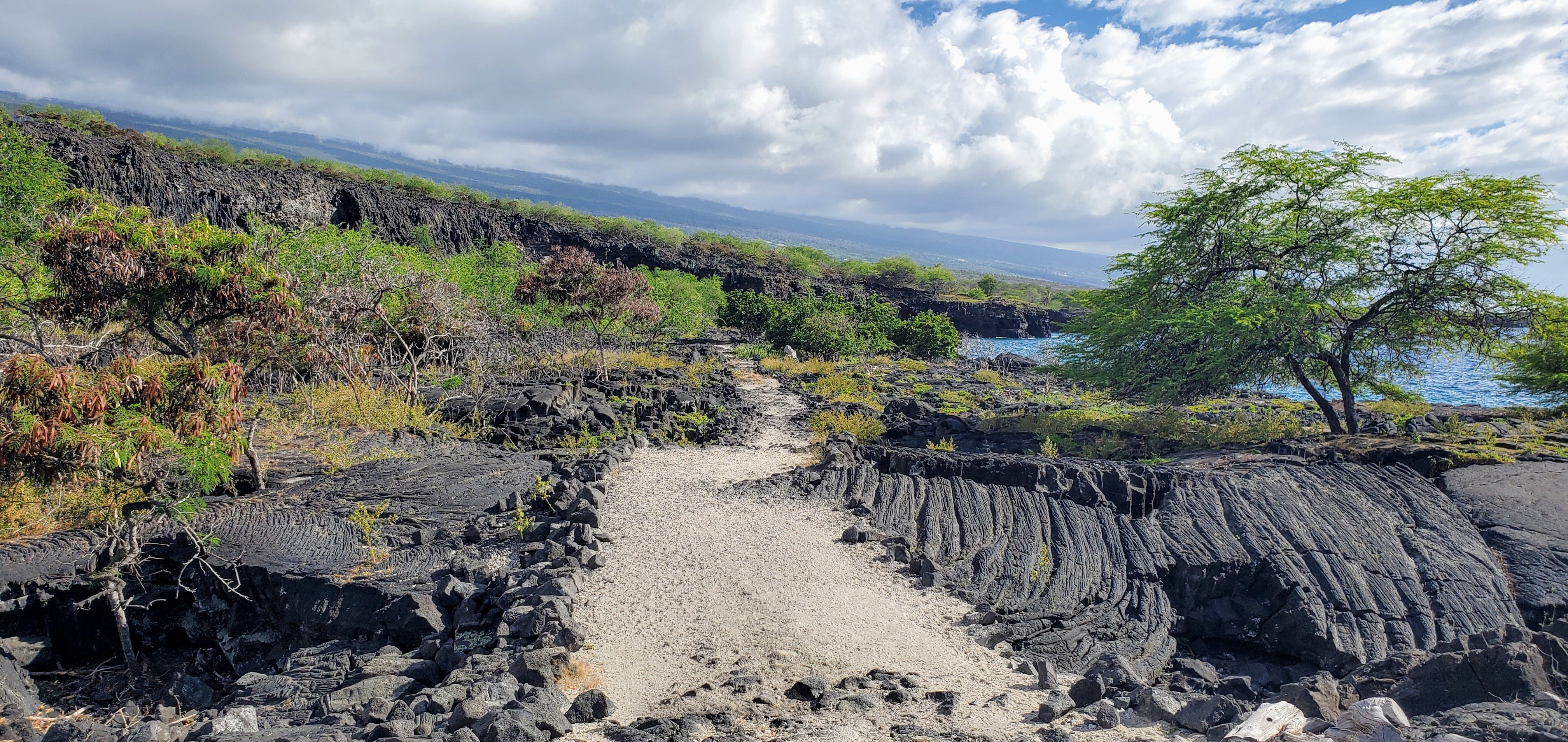
Explore beyond the Royal Grounds and Puʻuhonua and hike the 1871 Trail to the remains of Kiʻilae Village. This two-mile (round trip) hike takes you along coastal cliffs as you pass by numerous ancient and historic sites. See the dramatic Keanaeʻe cliffs and the ingenuity of the Alahaka Ramp all while taking in the ocean's beauty.
The 1871 Trail is just one section of the Ala Kahakai National Historic Trail . This 175-mile long trail corridor traverses from the northernmost tip of the island, along its western edge, around its southern tip and into Puna, the island's most eastern district. The Ala Kahakai National Historic Trail works with partners around the island to preserve ancient, historic, and modern connector trails so that we, and future generations, can continue walking in the footsteps of the ancestors.
The ancient trail that is now the 1871 Trail existed long before Europeans arrived in Hawaiʻi and originally connected coastal villages along the South Kona Coast. In the late 1800's the trail was expanded to accommodate those traveling in horse-drawn carriages.
What to Bring:
The trail is exposed with very little shade. For safety, bring reef-friendly sun protection and water. The trail terrain is uneven lava rock, so sturdy shoes are a must. A brochure with information about the lettered stops along the trail is available at the visitor center (open daily from 8:30 am - 4:30 pm) or you can access the Kiʻilae Village & 1871 Trail brochure PDF on our website.
Accessibility This trail is a mixture of coarse coral sand and uneven, sometimes loose, lava rock. Beyond the Alahaka ramp, portions of the trail are on a narrow dirt path.The trail is relatively flat, although it does undulate with the dips and rises of the coastline. The Alahaka Ramp is the steepest part of the trail with a 20% grade for about 150 feet. There is little shade throughout the hike, so those senstive to the sun and heat related illness should use caution. Sun protection and water is recommended.