National Historical Park · Texas

Trails in Palo Alto Battlefield National Historical Park

7 named trails · 2 miles · 1 with the Park Service's own write-up. The lines, trailheads and points are the Park Service's; the write-ups are the Service's own words; the climbing is read from USGS elevation along each line.

Open on the parks mapEvery park with trailsPark on nps.gov

7 trails, A to Z.

Battlefield Trail

0.7 mi one way · 15 ft–18 ft

ViewsExhibitsPicnic areasVisitor centers

18 ft 17 ft · 0.4 mi high 18 ft

Along the way Interpretive Exhibit Interpretive Exhibit Interpretive Exhibit Interpretive Exhibit Interpretive Exhibit Interpretive Exhibit Interpretive Exhibit Interpretive Exhibit Interpretive Exhibit Interpretive Exhibit Picnic Area Picnic Area and 16 more

Hiking the Battlefield Trail the Park Service's write-up

45-90 Minutes · dogs allowed

Start Palo Alto Battlefield Visitor Center
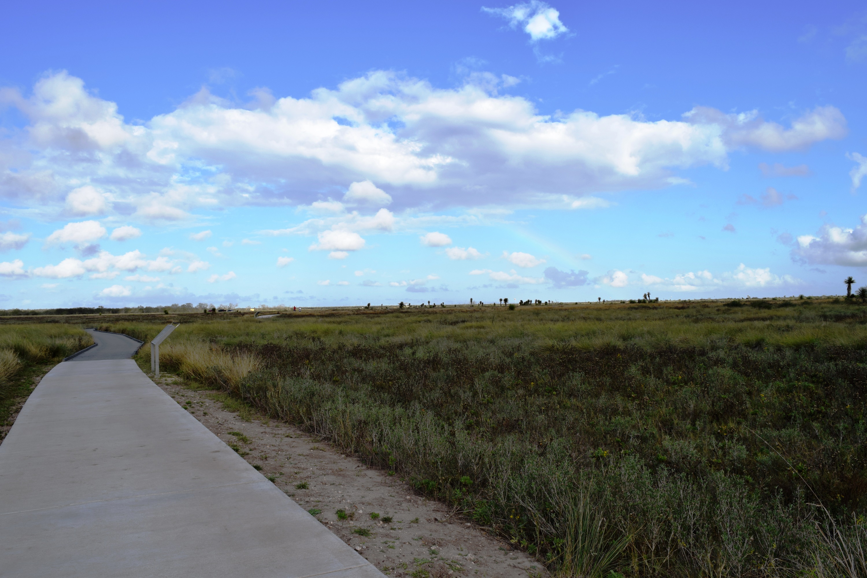
Paved trail leading into the green coastal prairie

Walk in the footsteps of history!

Begin your history hike at the back of the Visitor Center. Along your half-mile walk to the battlefield overlook, you will see a landscape very much like the one experienced by soldiers in 1846. Our trails give you a great vantage point to admire the coastal prairie and it resources. Interpretive waysides along the trail will give you an insight to the site’s history, flora, fauna, and development.

Two additional trails lead you out to the U.S. and Mexican battle lines and put you in the heart of the action. Hiking our trails gives you the best opportunity to experience and understand the site of the first clash of the U.S.—Mexican War.

Accessibility Trails are paved in either concrete or black top. However, some sections of the trail are composed of a boardwalk. The grade of the trail is fairly flat. Elevation at the battlefield overlook rises to approximately 6 feet. The primary trail is 8 feet wide. The U.S. and Mexican battle line trails are 4 feet wide.

This hike on nps.gov

Front Trail

0.1 mi one way · 19 ft–19 ft

ExhibitsPicnic areasVisitor centers

19 ft 19 ft · 0.1 mi high 19 ft

Along the way Interpretive Exhibit Interpretive Exhibit Picnic Area Picnic Area Picnic Area Picnic Area Picnic Area Picnic Area Picnic Area Picnic Area Picnic Area Picnic Area and 4 more

Picnic Trail

17 ft–18 ft

ExhibitsPicnic areasVisitor centers

18 ft 17 ft · 0.0 mi high 18 ft

Along the way Interpretive Exhibit Interpretive Exhibit Interpretive Exhibit Picnic Area Picnic Area Picnic Area Picnic Area Picnic Area Picnic Area Picnic Area Picnic Area Picnic Area and 8 more

Sidewalk

18 ft–19 ft

ExhibitsPicnic areasVisitor centers

18 ft 19 ft · 0.0 mi high 19 ft

Along the way Interpretive Exhibit Interpretive Exhibit Picnic Area Picnic Area Picnic Area Picnic Area Picnic Area Picnic Area Picnic Area Picnic Area Picnic Area Picnic Area and 7 more

US Line Trail

0.2 mi one way · 17 ft–18 ft

ViewsExhibits

17 ft 18 ft · 0.2 mi high 18 ft

Along the way Interpretive Exhibit Interpretive Exhibit Interpretive Exhibit Interpretive Exhibit Interpretive Exhibit Overlook

About these trails

The lines are the National Park Service's public trails layer, the trailheads and the waterfalls, views, peaks and historic places along them the Service's public points of interest, read 2026-10-14 and simplified for the map. The write-ups are the Service's own "things to do", unedited. Heights come from USGS 3DEP through Terrain Tiles on AWS (Mapzen/Tilezen), read along each line and rounded; a short trail on steep ground can be off by a few tens of feet. Closures change: check the park's own site before you go.