25 named trails · 38 miles · 14 with the Park Service's own write-up. The lines, trailheads and points are the Park Service's; the write-ups are the Service's own words; the climbing is read from USGS elevation along each line.
0.9 mi one way · about 100 ft of climbing · 2,280 ft–2,387 ft
Campgrounds
Along the wayAlamo
Hike Alamo Canyon the Park Service's write-up
1-2 Hours · no dogs · entrance fee applies
Start Alamo Canyon Trailhead
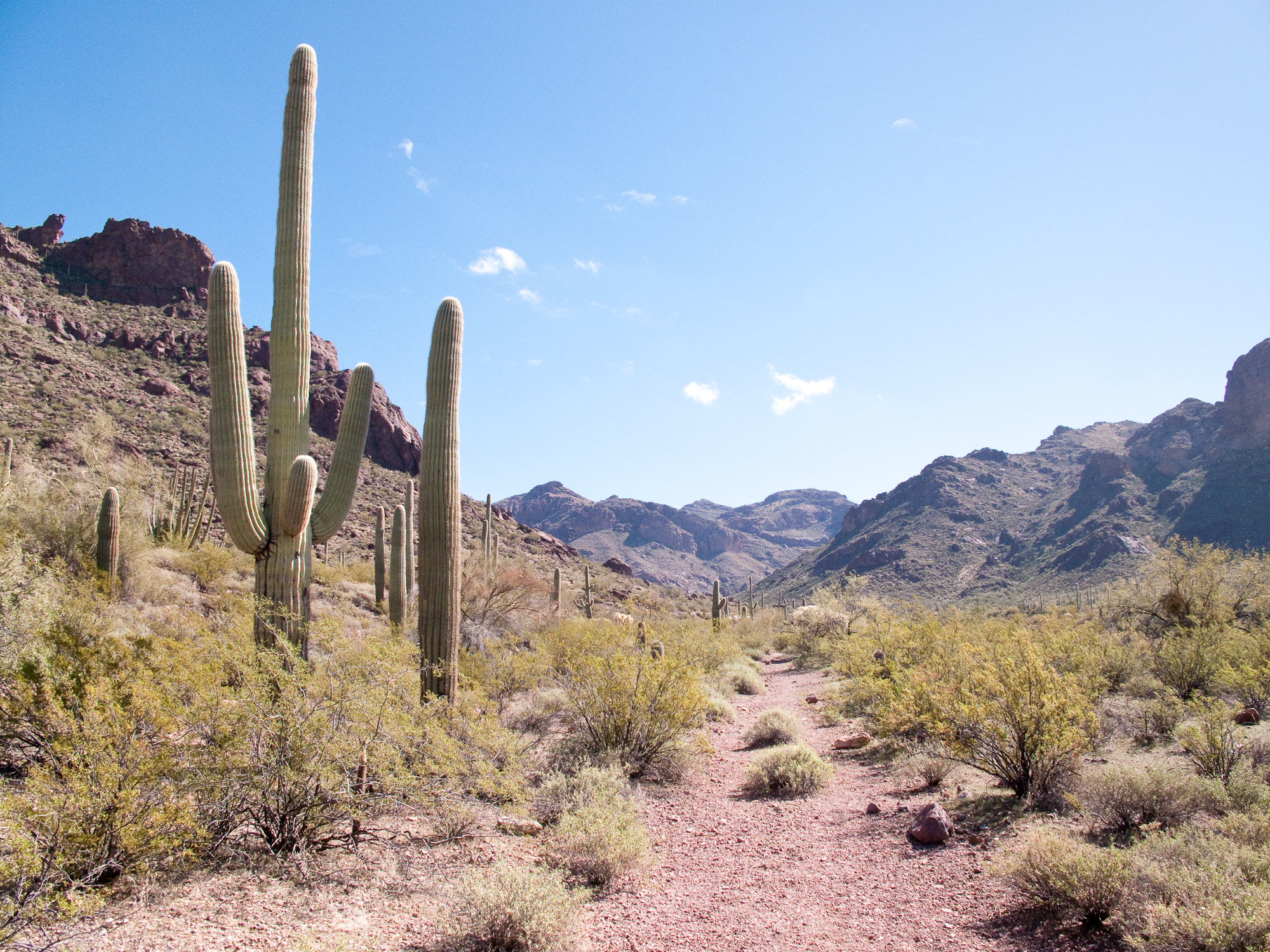
The Alamo Canyon trail leads to a historic ranch once run by Birdie and Bill Miller. Photo: NPS Photo
With a historic ranch, beautiful canyon views, and great opportunities for wildlife watching, Alamo Canyon has it all. The Alamo Canyon Trail follows an old road to a historic ranch house and corral. About three-quarters of a mile up the trail is the remains of an old brick building, the ranch house used by the Gray family’s ranching operation in the early 1900s. To the left of it are the remains of an older adobe structure, home to Birdie and Bill Miller, who ranched the canyon before leasing and selling it to the Grays.
In wet years, a small stream will run in Alamo wash in the winter and early spring. Because of the water that flows through the washes of Alamo, this spot is a great place to see wildflowers and wildlife, especially birds.
The maintained trail ends at the well and corral used by Birdie and Bill Miller, and later the Gray family. Wells were essential to a successful ranching operation because of the scarcity of water in the desert. Though the maintained trail ends at the corral, Alamo Canyon splits into three prongs beyond the corral. There are social trails that wander up the north and south forks of Alamo Canyon.
Distance: 1.8 miles (2.9 km) round-trip
Difficulty : Easy - Moderate
Elevation change : To corral 100 feet (30.5 m)
Accessibility Trail terrain is uneven, rocky and steep in some sections. Hikers of many different abilities have hiked this route in the past. If you are curious about accessibility for your needs please contact the park.
1.2 mi one way · about 900 ft of climbing · 2,571 ft–3,495 ft
Picnic areas
Along the wayPicnic Area
Hike Arch Canyon the Park Service's write-up
60-90 Minutes · no dogs · entrance fee applies
Start Arch Canyon Trailhead
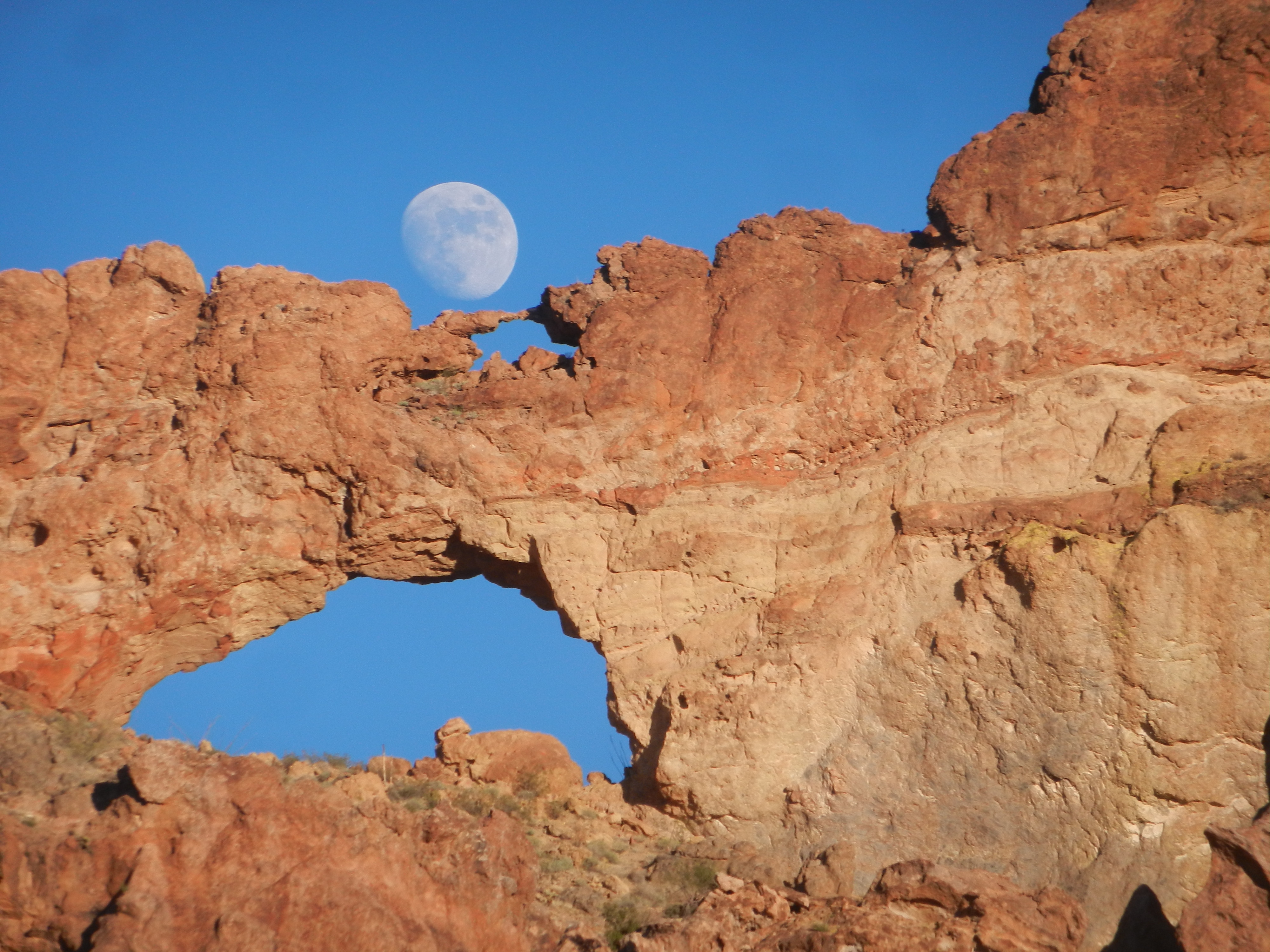
Moonrise over the double arches Photo: NPS Photo
One of the most photographed sites along the Ajo Mountain Drive are the double arches carved into the mountains. Walking the easy, relatively flat Arch Canyon trail provides wonderful opportunities to see wildflowers and gaze upon the rhyolite arches.
Note that this trail does not lead up to the arches and the official trail ends part way into the canyon. There are unofficial social trails that lead up to the arch, but these trails are strenuous and not maintained.
Distance : 1.2 miles (1.9 km) Round-trip;
Difficulty : Easy
The Makings of an Arch
The present landscape of the Ajo Mountain Range began to take shape 30 to 14 million years ago (the middle and late Tertiary time) as the crust of the western part of North America stretched in an east-west direction. This stretching created fractures in the crust, and the resulting volcanic eruptions and lava flows created most of the modern landscape you see today. Most of the reddish-brown rock you see forming the Ajo Range and the double arches is a volcanic rock called rhyolite. When it was molten, rhyolite was thick and gooey like maple syrup. It could not flow far before becoming too cool to move, creating relatively short mountain ranges like the Ajos.
Over time, the freezing and expanding of water ate away at the rhyolite to form the arch in Arch Canyon, opening a hole larger and larger over time. Rushing water from storms carved the canyons like Arch Canyon and Estes Canyon. The winter and monsoon rains continue to mold and carve this landscape. As you’re walking through the canyons, look for dark vertical stains on the rock where waterfalls form during heavy storms.
Accessibility Trail terrain is uneven, rocky, and steep in some sections. Hikers of many different abilities have hiked this route in the past. If you are curious about accessibility for your needs, please contact the park. While pets are not allowed on this trail, service animals are allowed.
1.5 mi one way · about 900 ft of climbing · 2,365 ft–3,251 ft
Picnic areas
Along the wayEstes Canyon
Hike the Estes Canyon/Bull Pasture Loop the Park Service's write-up
1-3 Hours · no dogs · entrance fee applies · Winter, Spring, Fall
Start Estes Canyon/Bull Pasture Trailhead
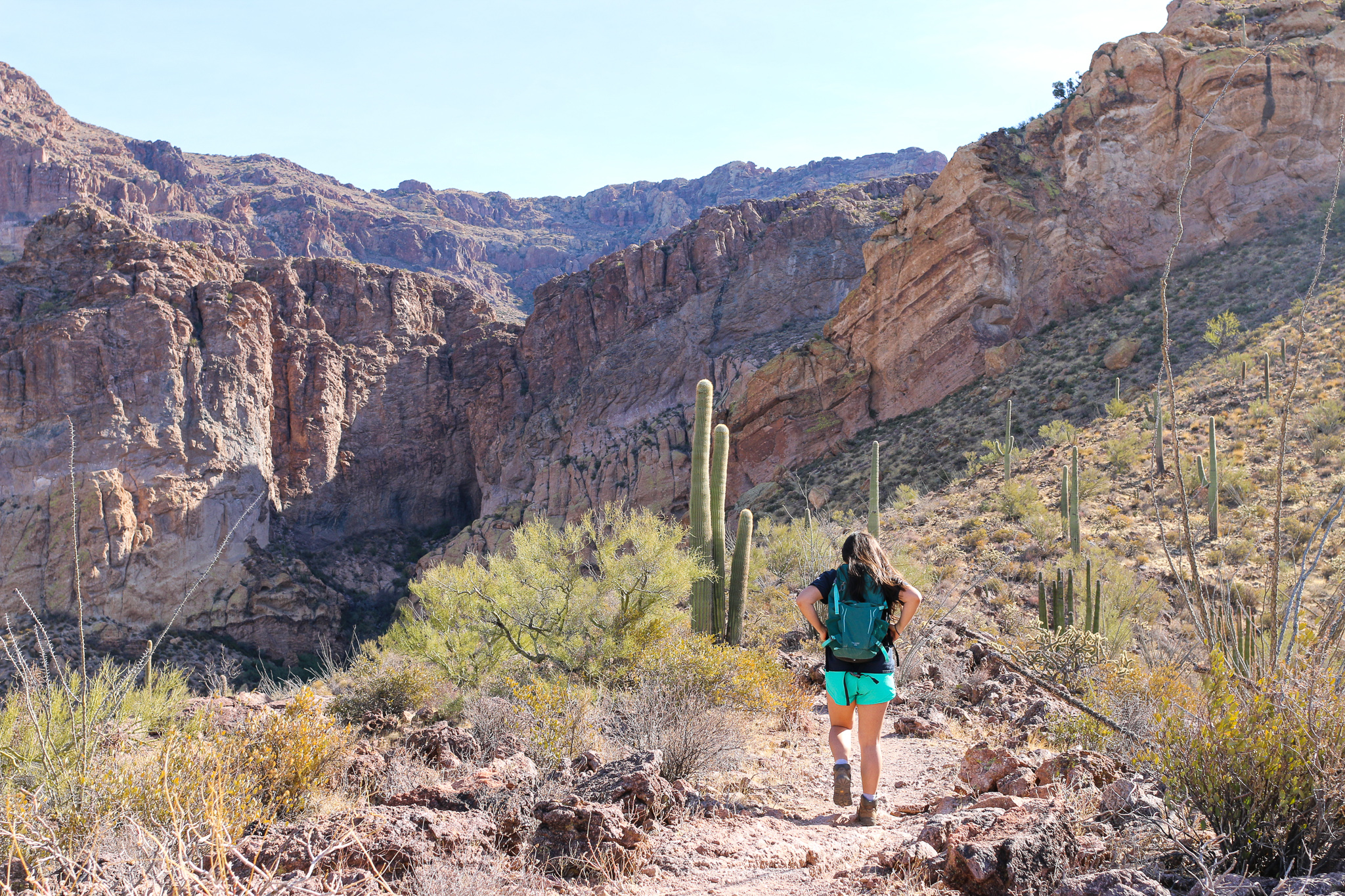
The 800 foot climb to Bull Pasture rewards visitors with some of the best views in the monument. Photo: NPS Photo/K Ceballos
The Estes Canyon Trail provides ample opportunities to hear and view the birds, wildlife and wildflowers of Organ Pipe Cactus National Monument. Climb into the Ajo Mountains using the Bull Pasture Trail and be rewarded with spectacular views of the Sonoran Desert.
This moderate loop trail leads clockwise into Estes Canyon and then climbs onto a ridge. It returns down through the foothills back to the parking area. Halfway around the loop, a short, strenuous spur trail climbs to Bull Pasture, where ranchers would pasture their cattle. From the Bull Pasture Viewpoint, hikers have a stunning view of Mount Ajo, the highest peak in the monument at 4,808 feet (1466 meters). The trail, including the spur to Bull Pasture Viewpoint, is a rugged 3.6 miles (5.8 km) round trip, with a total elevation gain of 865 feet (224 meters). View a map of the trail.
This trailhead is located on Mile 11 along the Ajo Mountain Drive . The Ajo Mountain Drive is a 21 mile, one-way dirt driving loop, and it will take about 40-50 minutes to drive from the visitor center to the trailhead.
Difficulty:
The Estes Canyon loop trail is a moderate trail. This trail crosses several washes but is relatively flat.
The Bull Pasture trail is strenuous and has steep switchbacks. The trail is often exposed to drop-offs on one side.
Distances:
Estes Canyon to Bull Pasture Junction and back: 3.2 miles (5.1 km)
Estes Canyon to junction, returning on Bull Pasture Trail: 2.6 miles (4.2 km)
Estes Canyon to Bull Pasture summit, returning on Bull Pasture Trail: 3.6 miles (5.8 km)
Estes Canyon to Bull Pasture summit, returning on Estes Canyon Trail: 4.2 miles (6.8 km)
Bull Pasture Trail to Bull Pasture summit, returning on Bull Pasture Trail: 3.0 miles (4.8 km)
Accessibility Trail terrain is uneven, rocky, and steep in some sections. Hikers of many different abilities have hiked this route in the past. If you are curious about accessibility for your needs please contact the park. While pets are not allowed on this trail, service animals are allowed.
0.9 mi loop · about 40 ft of climbing · 1,683 ft–1,721 ft
Stretch Your Legs on the Campground Perimeter Trail the Park Service's write-up
30 Minutes · dogs allowed · entrance fee applies
Start Twin Peaks Campground
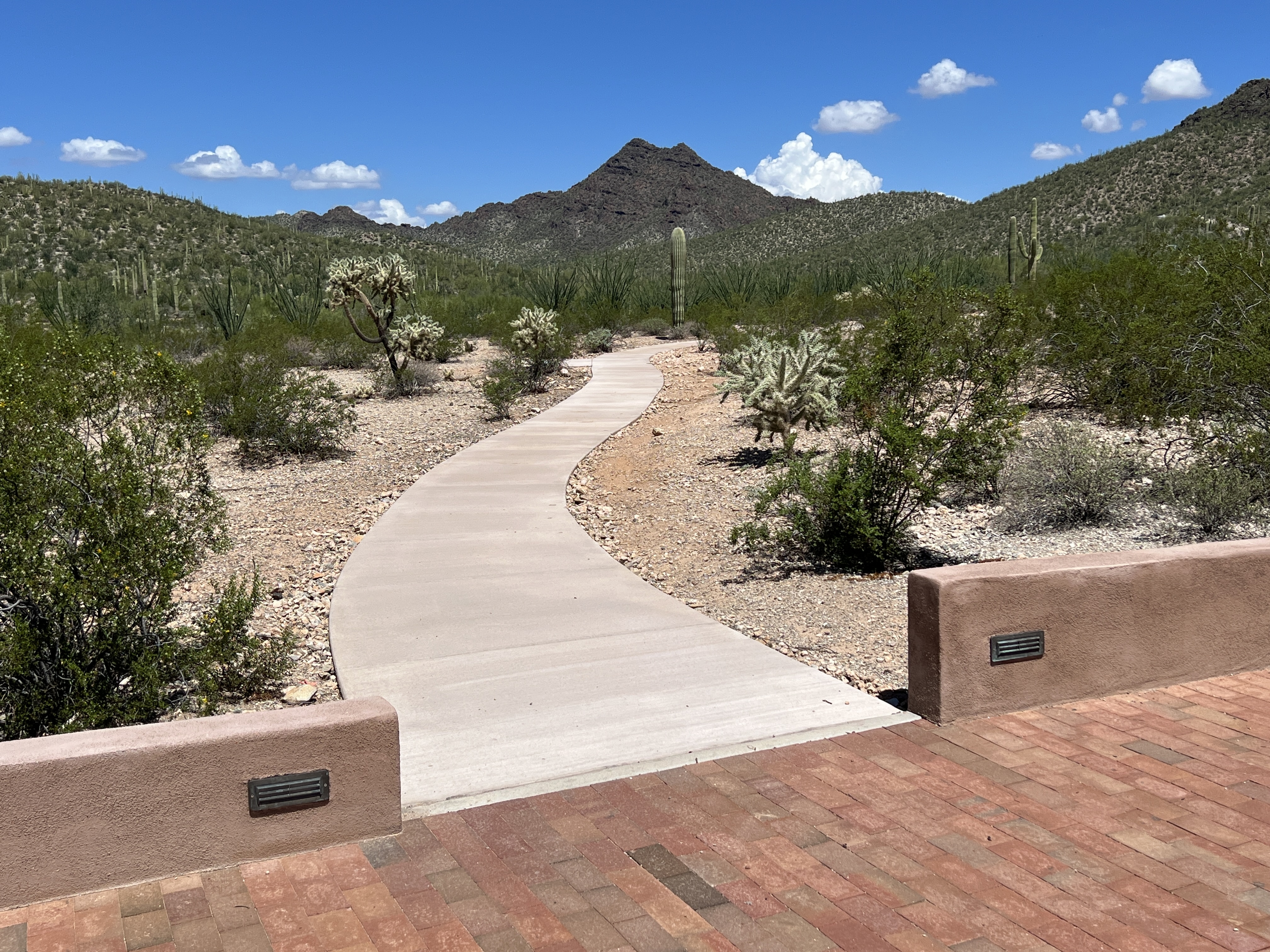
The Campground Perimeter Trail is paved from the amphitheater to the campground kiosk area. Photo: NPS Photo/Cate Blanch
Want to take a short walk to stretch your legs or just want to enjoy scenic desert landscapes just off the highway? The Campground Perimeter Trail is a 1-mile dirt trail that is flat and a great place to spot lots of organ pipe cacti and other beautiful desert plants as you meander towards scenic views to the south and east. This dog-friendly trail circles the perimeter of Twin Peaks Campground and connects to the Palo Verde (also dog-friendly!) and Victoria Mine trails. The western side of the trail is ADA accessible from the initial turn-in to the campground to the campground amphitheater, about a 1 /4 mile.
How to Get There
The Campground Perimeter Trail circles the perimeter of Twin Peaks Campground . Turn right from the Kris Eggle Visitor Center and then take the first left, following the sign for Twin Peaks Campground. Pass by the ranger kiosk and follow the campground loop to the back. There is a small parking area at the southwestern side of the campground at the trailhead for Victoria Mine. The trail can be started any point along trail.
Total Distance: 1 mile (1.6 kilometers) round-trip
Difficulty: easy
Accessibility This dog-friendly trail circles the perimeter of Twin Peaks Campground and connects to the Palo Verde (also dog-friendly!) and Victoria Mine trails. The western side of the trail is ADA accessible from the initial turn-in to the campground to the campground amphitheater, about a 1 /4 mile. This section is paved and flat, with benches in areas to enjoy.
Enjoy the quiet wilderness as you hike a historic wagon road. Photo: NPS Photo/Cate Blanch
Enjoy scenic views as you explore an old wagon road through the Sonoran Desert! The Old Country Road Trail (also known as Old Sonoyta Trail) stretches 8 miles in between Alamo Canyon Road and Ajo Mountain Drive. This old trail used to stretch from Ajo area to the town of Sonoyta in Mexico. The majority of this road eventually became what is now Arizona Highway 85, but this peaceful section of the historic road remains for visitors to enjoy! The trail meanders along the eastern side of the monument, with wonderful views of Tillotson Peak and the Mt. Ajo. A cristate saguaro cactus may be seen along the trail, 1 mile from the southern trailhead on Ajo Mountain Drive.
This trail is 8 miles one way and makes a great day hike; having two cars stationed at both ends of the road is recommended. The trail is relatively flat but crosses several washes. It’s both a great trail for hiking and running, and is wonderful if wanting some precious alone time in the wilderness.
Distance: 8 miles (12.8 km) one way
Difficulty : Strenuous
Elevation change : <100 feet (30.5 m)
Accessibility The trail is a relatively flat dirt and gravel trail that dips across several rocky washes. Vegetation growth may make the trail narrow in some areas.
1.1 mi loop · about 200 ft of climbing · 1,701 ft–1,862 ft
Watch the Sunset from Desert View Trail the Park Service's write-up
30-60 Minutes · no dogs · entrance fee applies
Start Desert View Trailhead
A small hill along the trail provides colorful sunset views of the monument and Mexico. Photo: Photo/K Ceballos
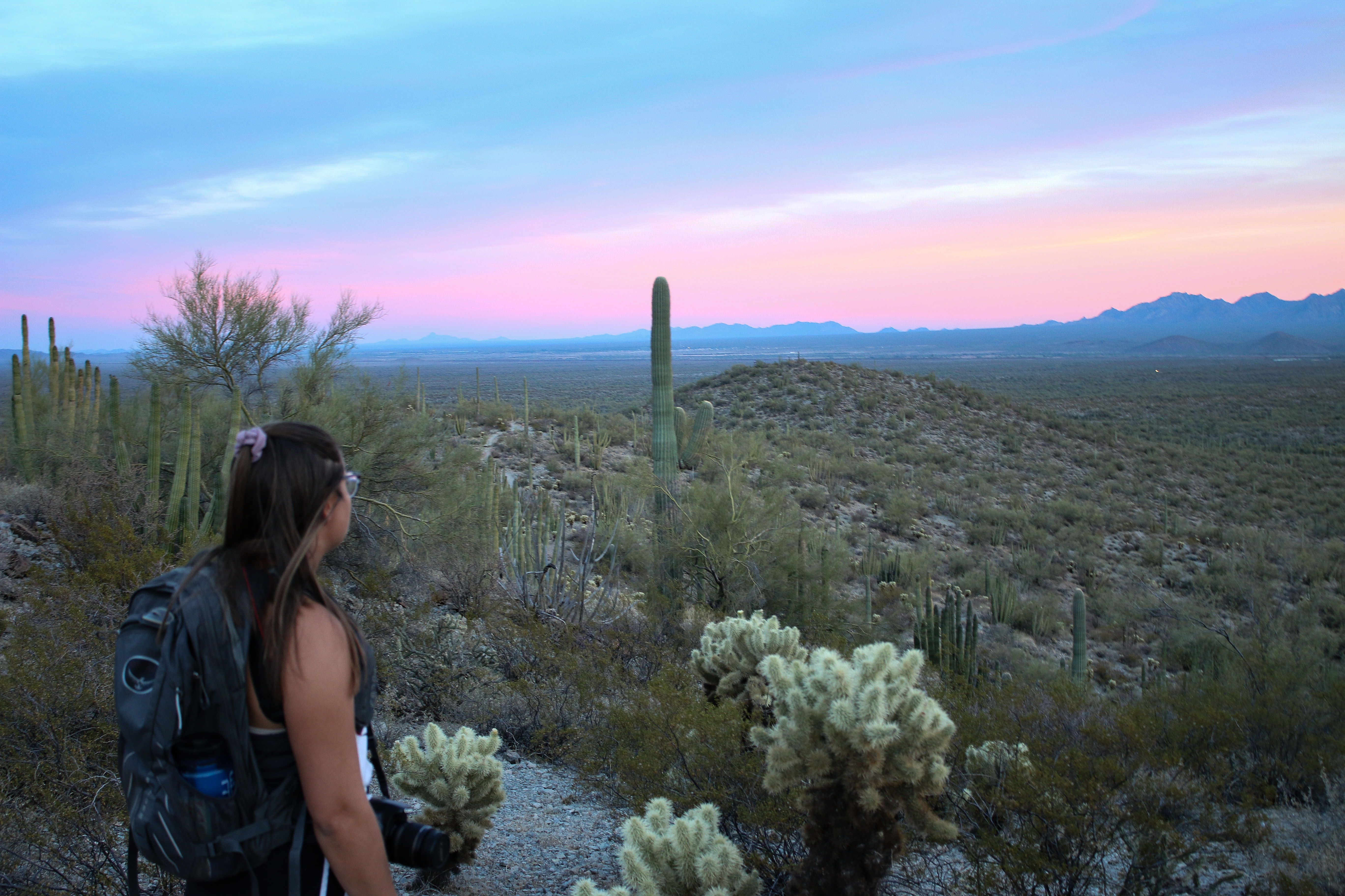
Searching for that quintessential desert sunset? The Desert View trail has your back! This short, 1.2 mile (1.9 km) easy to moderate trail can be reached from Twin Peaks Campground and loops around striking stands of organ pipe cacti. Desert View Trail offers great views for sunrise or sunset.
Start your hike about half an hour before sunset so you can reach the highest point of the trail - on the western side of the loop - just as the sun is starting to set. Sit on one of the benches and watch as the desert bajadas below are painted pink and gold. While watching the sun dive into the horizon, make sure to glance back at the Ajo Mountains and watch them develop into shades of pink and red.
As you complete the loop on your hike out, be cautious where you put your feet. Watch out for rattlesnakes and cholla balls . Listen for the hooting of the great horned owl, and look upwards as the first stars start to make their appearance.
Distance: 1.2 mile (1.9 km) loop
Difficulty: Easy to moderate
Accessibility Trail terrain is uneven, rocky and steep in some sections. Hikers of many different abilities have hiked this route in the past. If you are curious about accessibility for your needs please contact the park. While pets are not allowed on this trail, service animals are allowed.
Enjoy beautiful mountain scenery as you wind your way to Dripping Springs Mine. Photo: NPS Photo
Wind your way through the Puerto Blanco mountains to discover an old copper mine!
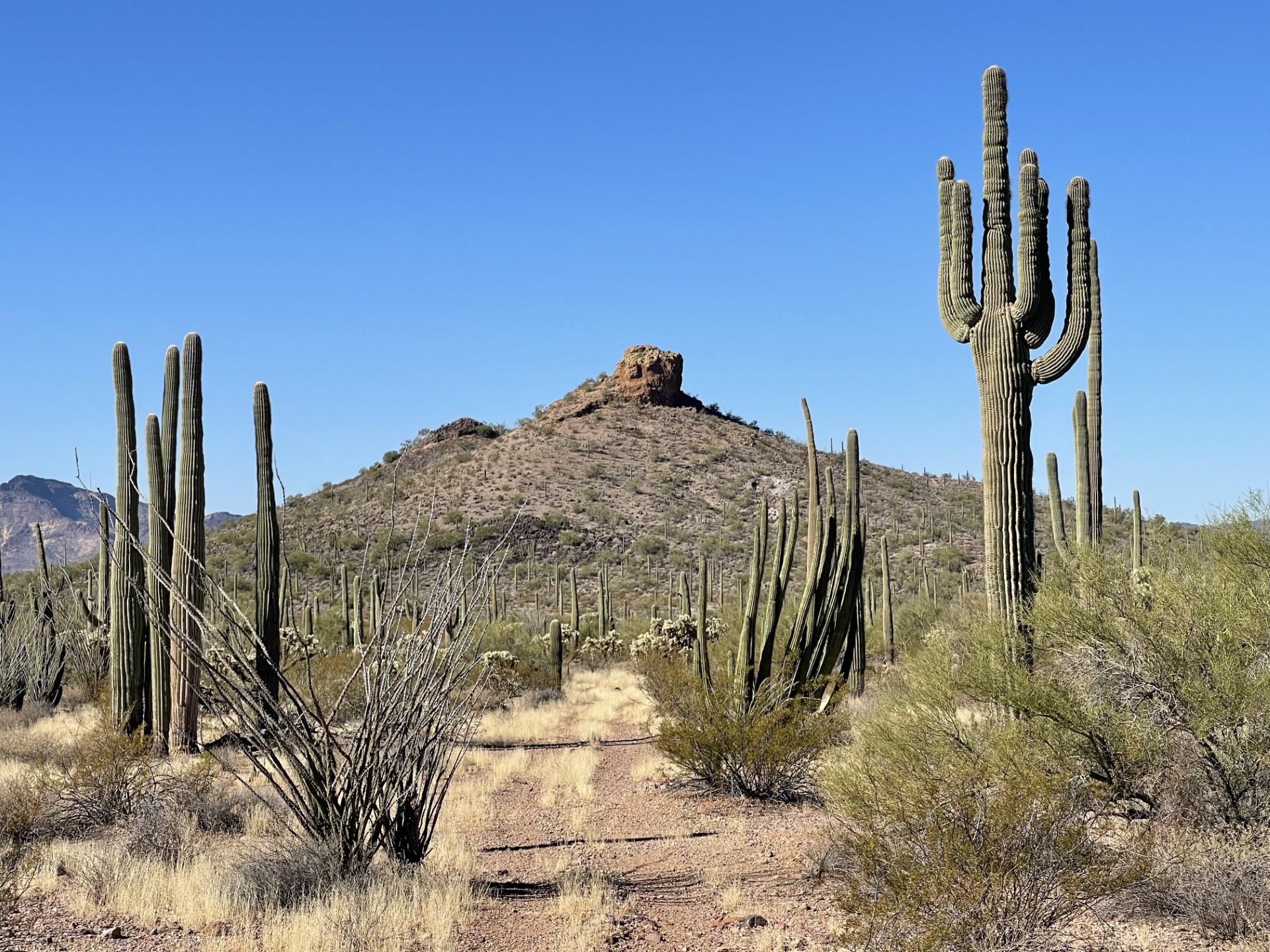
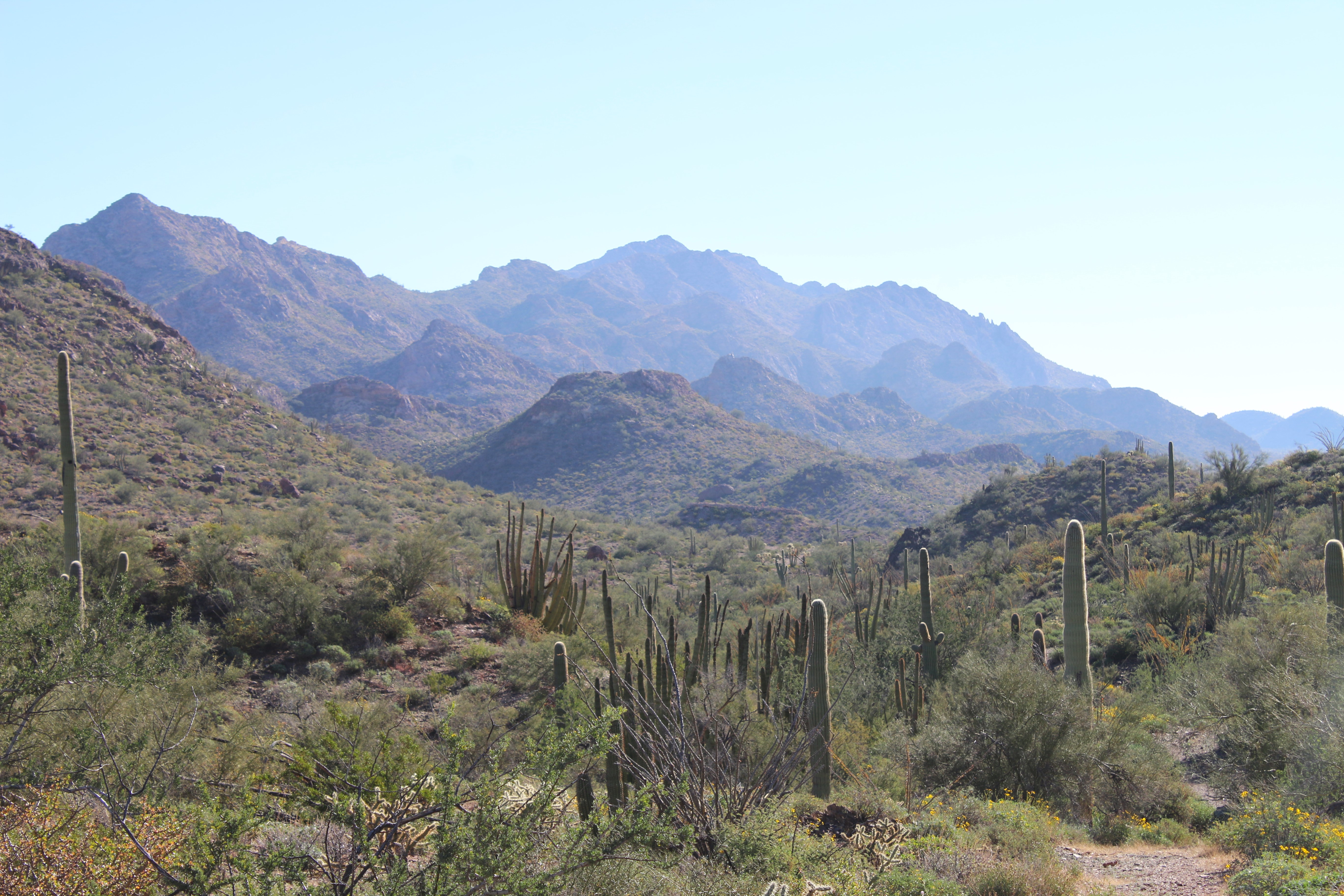
The Dripping Springs Mine Trail follows a historic mining road 1.4 miles to its end. The mine may be spotted directly west of the end of the road and is accessible after crossing a deep wash. The road is scenic is provides beautiful views of the Sonoran Desert landscape: majestic volcanic mountains of purple rhyolite and black basalt, large saguaro forests and organ pipe cacti are found along this trail as it meanders between the mountain basins.
This beautiful area of the monument is rarely visited and is a great place to enjoy having the trail to yourself out in the desert wilderness.
Distance: 2.8 mile (4.5 km) roundtrip
Difficulty : Moderate
Elevation change : 50 feet (30.5 m)
Accessibility The trail is dirt but passes through small washes requiring a bit of climbing down larger rocks. The trail ends and a steep ~15 foot wash must be crossed to get to the mine. If you are curious about accessibility for your needs please contact the park.
Enjoy beautiful mountain scenery as you wind your way to Dripping Springs Mine. Photo: NPS Photo
Wind your way through the Puerto Blanco mountains to discover an old copper mine!
The Dripping Springs Mine Trail follows a historic mining road 1.4 miles to its end. The mine may be spotted directly west of the end of the road and is accessible after crossing a deep wash. The road is scenic is provides beautiful views of the Sonoran Desert landscape: majestic volcanic mountains of purple rhyolite and black basalt, large saguaro forests and organ pipe cacti are found along this trail as it meanders between the mountain basins.
This beautiful area of the monument is rarely visited and is a great place to enjoy having the trail to yourself out in the desert wilderness.
Distance: 2.8 mile (4.5 km) roundtrip
Difficulty : Moderate
Elevation change : 50 feet (30.5 m)
Accessibility The trail is dirt but passes through small washes requiring a bit of climbing down larger rocks. The trail ends and a steep ~15 foot wash must be crossed to get to the mine. If you are curious about accessibility for your needs please contact the park.
1.6 mi one way · about 400 ft of climbing · 2,388 ft–2,785 ft
Hike the Estes Canyon/Bull Pasture Loop the Park Service's write-up
1-3 Hours · no dogs · entrance fee applies · Winter, Spring, Fall
Start Estes Canyon/Bull Pasture Trailhead
The 800 foot climb to Bull Pasture rewards visitors with some of the best views in the monument. Photo: NPS Photo/K Ceballos
The Estes Canyon Trail provides ample opportunities to hear and view the birds, wildlife and wildflowers of Organ Pipe Cactus National Monument. Climb into the Ajo Mountains using the Bull Pasture Trail and be rewarded with spectacular views of the Sonoran Desert.
This moderate loop trail leads clockwise into Estes Canyon and then climbs onto a ridge. It returns down through the foothills back to the parking area. Halfway around the loop, a short, strenuous spur trail climbs to Bull Pasture, where ranchers would pasture their cattle. From the Bull Pasture Viewpoint, hikers have a stunning view of Mount Ajo, the highest peak in the monument at 4,808 feet (1466 meters). The trail, including the spur to Bull Pasture Viewpoint, is a rugged 3.6 miles (5.8 km) round trip, with a total elevation gain of 865 feet (224 meters). View a map of the trail.
This trailhead is located on Mile 11 along the Ajo Mountain Drive . The Ajo Mountain Drive is a 21 mile, one-way dirt driving loop, and it will take about 40-50 minutes to drive from the visitor center to the trailhead.
Difficulty:
The Estes Canyon loop trail is a moderate trail. This trail crosses several washes but is relatively flat.
The Bull Pasture trail is strenuous and has steep switchbacks. The trail is often exposed to drop-offs on one side.
Distances:
Estes Canyon to Bull Pasture Junction and back: 3.2 miles (5.1 km)
Estes Canyon to junction, returning on Bull Pasture Trail: 2.6 miles (4.2 km)
Estes Canyon to Bull Pasture summit, returning on Bull Pasture Trail: 3.6 miles (5.8 km)
Estes Canyon to Bull Pasture summit, returning on Estes Canyon Trail: 4.2 miles (6.8 km)
Bull Pasture Trail to Bull Pasture summit, returning on Bull Pasture Trail: 3.0 miles (4.8 km)
Accessibility Trail terrain is uneven, rocky, and steep in some sections. Hikers of many different abilities have hiked this route in the past. If you are curious about accessibility for your needs please contact the park. While pets are not allowed on this trail, service animals are allowed.
1.8 mi one way · about 150 ft of climbing · 1,536 ft–1,689 ft
Hike to Lost Cabin the Park Service's write-up
4-5 Hours · no dogs · entrance fee applies
Start Victoria Mine/Lost Cabin Trailhead
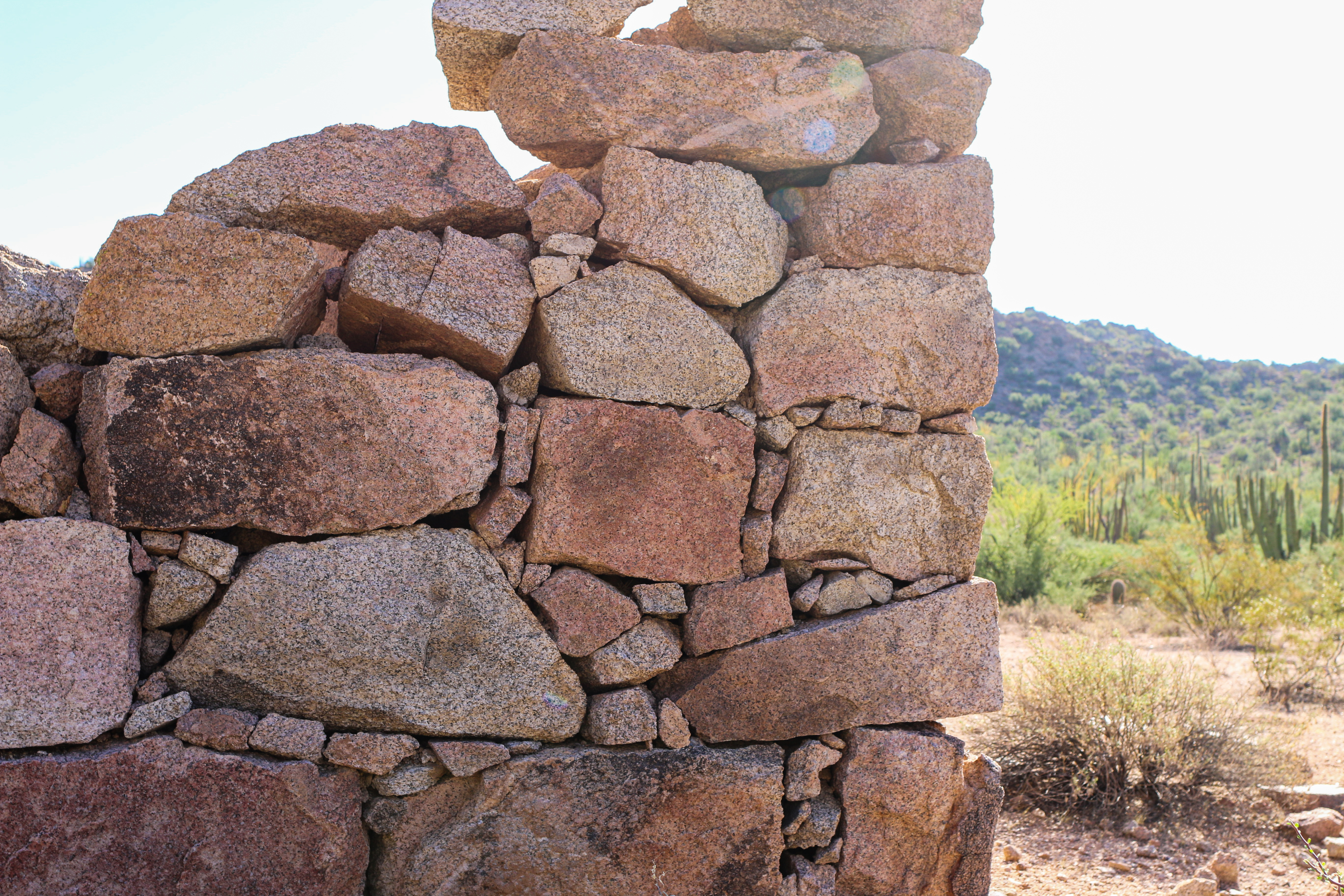
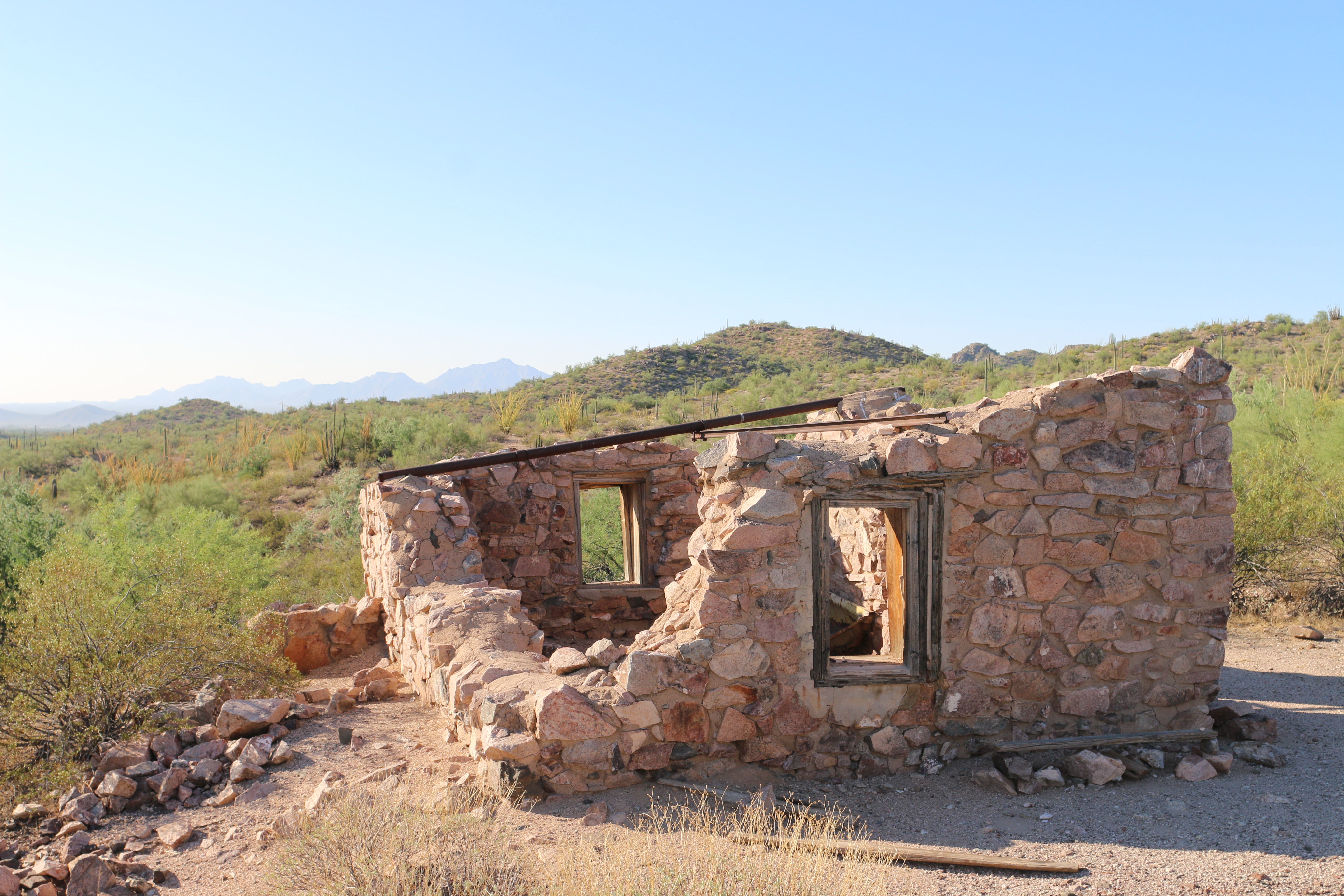
Lost Cabin, like most of the structures in the park, was constructed using stone found locally. Photo: NPS Photo/ K Ceballos
Looking for a lengthier hike that showcases Organ Pipe’s mining history and the beautiful Puerto Blanco mountains? This 8 mile (12.9 kilometers) round-trip hike includes the Victoria Mine site and an old stone mining house known as Lost Cabin. Victoria Mine is one of the oldest prospecting sites in southwestern Arizona, and at the site visitors can view mine shafts, the remains of the store building, tailings, and other artifacts on this once robust silver and gold operation. The additional 3.6 miles (round-trip) will bring visitors to Lost Cabin, another silver mine tucked away in the Puerto Blanco mountains. The site features the remains of a stone mining house that served the mines viewable in the hills above.
How to get there
The Victoria Mine/Lost Cabin trail starts at the southwestern end of Twin Peaks Campground , where there is a small parking area and trailhead information. The trail to Victoria Mine is easy to moderate and is generally flat, but does include some ups and downs crossing arroyos (washes). Victoria Mine is 2.2 miles (3.5 km) from the trailhead. Continue past Victoria Mine for 1.8 miles (2.9 km) to reach Lost Cabin. The trail to Lost Cabin is primitive and climbs over a small hill, but provides great views of the Sonoyta mountains to the south. All mine shafts are closed and fenced off. For your safety do not enter the mine.
Total Distance: 8 miles (12.9 km) round-trip
Time: 4.5 hours round-trip
Difficulty: Moderate
Pets While pets are not allowed on this trail, service animals are allowed.
Accessibility Trail terrain is uneven, rocky, and steep in some sections. Hikers of many different abilities have hiked this route in the past. If you are curious about accessibility for your needs please contact the park. While pets are not allowed on this trail, service animals are allowed.
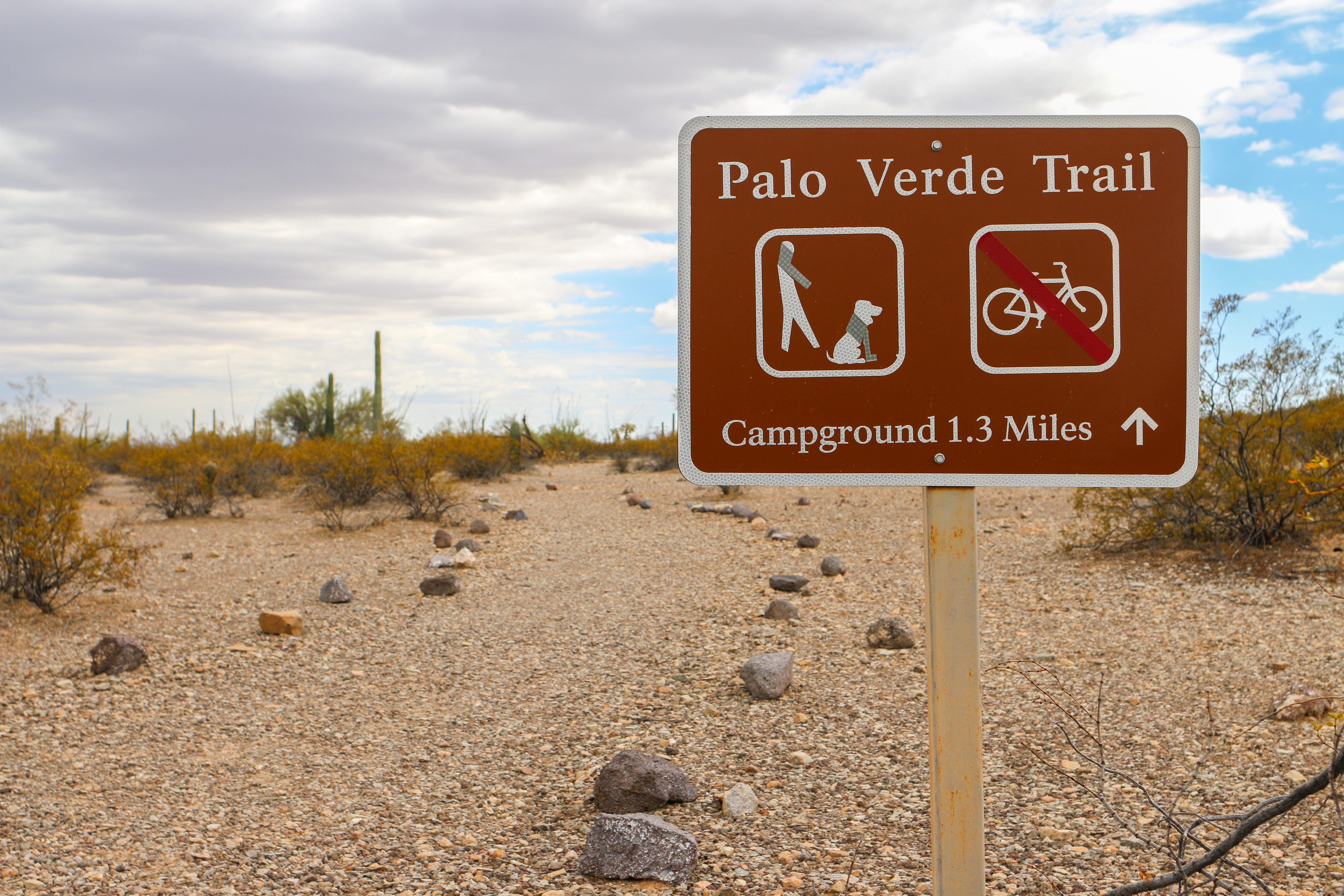
Palo Verde trail is one of three pet-friendly trails in the monument. Photo: NPS Photo
Looking for a pet friendly trail at Organ Pipe? Palo Verde is the longest trail in the monument that allows dogs and other pets. This easy trail connects Kris Eggle Visitor Center and Twin Peaks Campground, and the trail features beautiful views of the Ajo Mountains.
Ruffin’ It
Please keep your pets on a six feet (or less) leash for their safety and the well-being of the wildlife. Even good dogs might stumble onto a wild animal without warning.
Watch for cholla along any of the roads and trails. Carry tweezers to pull spines out of paws and noses.
Pavement and rocks get very hot, avoid walking your pets during the hottest parts of the summer days, paws will burn.
Please be a good pet-owner and clean up after your pet.
Temperatures can soar well above 110 degrees in the summer time, and over 90 degrees even in the winter. Just as you should drink water all day, make sure your pet has enough water to keep them well hydrated and cool. Pets should never be left alone in a vehicle.
Learn more about responsible pet care and other pet-friendly trails.
Distance: 2.6 mi (4.2 km )
Difficulty: Easy
Accessibility Trail terrain is uneven and rocky in some sections. Hikers of many different abilities have hiked this route in the past. If you are curious about accessibility for your needs please contact the park.
0.2 mi one way · about 10 ft of climbing · 1,667 ft–1,679 ft
Hike the Senita Basin Loop the Park Service's write-up
2-3 Hours · no dogs · entrance fee applies
Start Senita Basin Trailhead
Some of the best examples of senita cacti are located along the road leading into Senita Basin. Photo: NPS Photo/K Ceballos
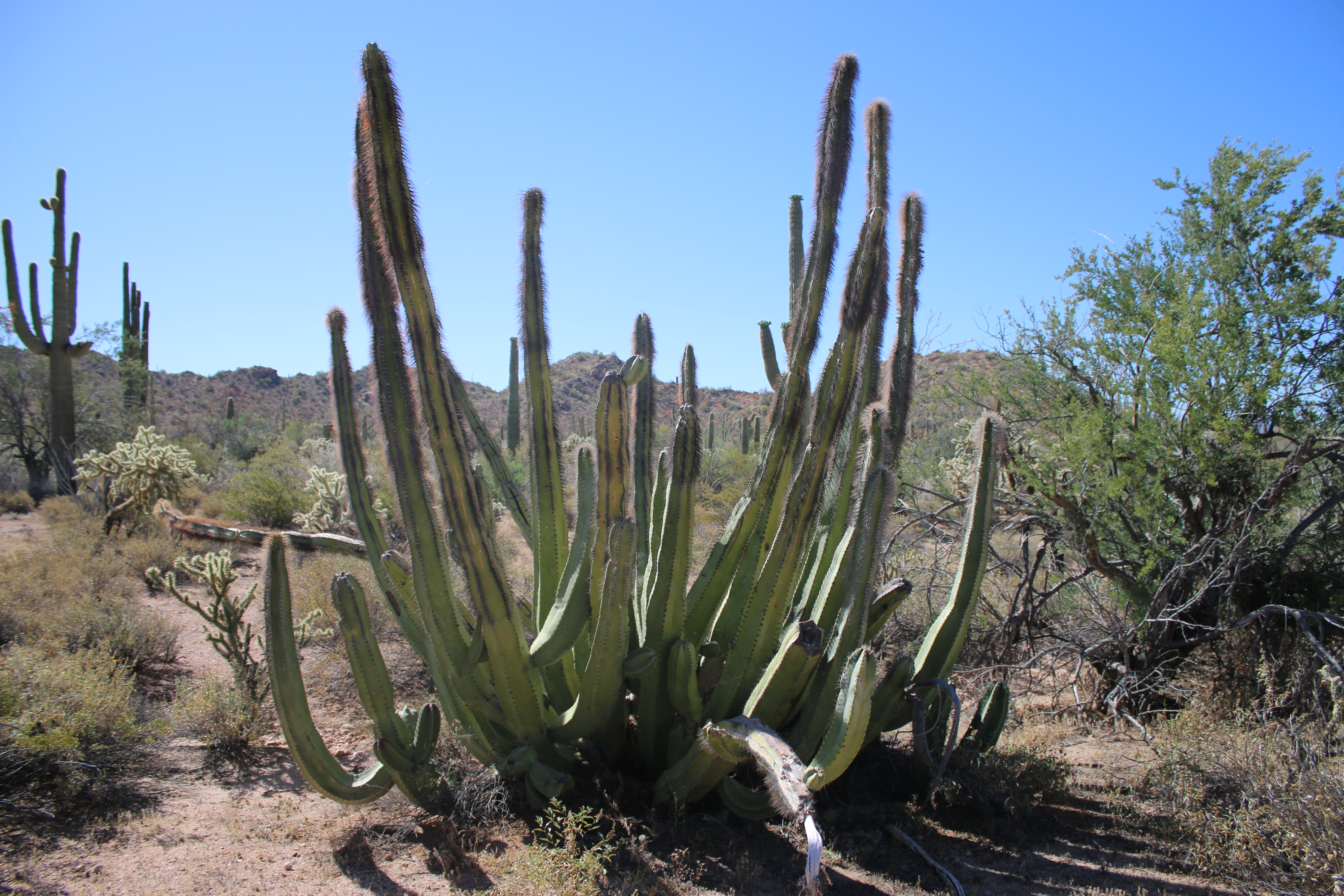
Easy loop trail located in a low elevation area on the south side of the Puerto Blanco Mountains. This lush basin is one of the few places you can see all three of the park’s columnar cacti coexisting: saguaro , organ pipes , and the senita cacti. The most impressive groves of senita cacti are along the road into Senita Basin and near the trailhead. There is a picnic table located by the trailhead.
Distance: 3.1 miles (5 km)
Difficulty: Easy
Horses are allowed on this trail.
The Senita Cactus
( Lophocereus schotti )
Though similar in form to the organ pipe cactus, the senita cacti is mainly found only in Senita Basin. They grow 10 to 13 feet (3-4 m ) tall with multiple arms coming from the base, but unlike organ pipes their stems only have 5 to 7 ridges, giving them a more angular appearance. Long gray hairs grow on the ends of mature stems, inspiring common names like “whisker cactus” and “old man cactus” in English, and “ cabeza de viejo ” and “hombre viejo ” in Spanish.
Senita cacti grow in the desert and thornscrub of Sonora and Baja California, but several small populations persist in Organ Pipe and the Tohono O’odham Reservation. While they are more frost tolerant than organ pipe cacti, they prefer highly arid habitats and the fine-textured soils of valley bottoms and thus do not occur as far north as the organ pipe.
The senita cacti have pale pink flowers that emerge April through August to be pollinated by a specific species of moth. These flowers are followed by grape-sized red fruit with juicy red pulp.
Pets While pets are not allowed on this trail, service animals are allowed.
Accessibility Trail terrain is unpaved, uneven, and rocky. Hikers of many different abilities have hiked this route in the past. If you are curious about accessibility for your needs please contact the park. While pets are not allowed on this trail, service animals are allowed.
2.2 mi one way · about 100 ft of climbing · 1,637 ft–1,688 ft
Hike to Lost Cabin the Park Service's write-up
4-5 Hours · no dogs · entrance fee applies
Start Victoria Mine/Lost Cabin Trailhead
Lost Cabin, like most of the structures in the park, was constructed using stone found locally. Photo: NPS Photo/ K Ceballos
Looking for a lengthier hike that showcases Organ Pipe’s mining history and the beautiful Puerto Blanco mountains? This 8 mile (12.9 kilometers) round-trip hike includes the Victoria Mine site and an old stone mining house known as Lost Cabin. Victoria Mine is one of the oldest prospecting sites in southwestern Arizona, and at the site visitors can view mine shafts, the remains of the store building, tailings, and other artifacts on this once robust silver and gold operation. The additional 3.6 miles (round-trip) will bring visitors to Lost Cabin, another silver mine tucked away in the Puerto Blanco mountains. The site features the remains of a stone mining house that served the mines viewable in the hills above.
How to get there
The Victoria Mine/Lost Cabin trail starts at the southwestern end of Twin Peaks Campground , where there is a small parking area and trailhead information. The trail to Victoria Mine is easy to moderate and is generally flat, but does include some ups and downs crossing arroyos (washes). Victoria Mine is 2.2 miles (3.5 km) from the trailhead. Continue past Victoria Mine for 1.8 miles (2.9 km) to reach Lost Cabin. The trail to Lost Cabin is primitive and climbs over a small hill, but provides great views of the Sonoyta mountains to the south. All mine shafts are closed and fenced off. For your safety do not enter the mine.
Total Distance: 8 miles (12.9 km) round-trip
Time: 4.5 hours round-trip
Difficulty: Moderate
Pets While pets are not allowed on this trail, service animals are allowed.
Accessibility Trail terrain is uneven, rocky, and steep in some sections. Hikers of many different abilities have hiked this route in the past. If you are curious about accessibility for your needs please contact the park. While pets are not allowed on this trail, service animals are allowed.
Miners could find food and other essentials at the Victoria Mine store. Photo: NPS Photo/K Ceballos
Experience Organ Pipe’s mining history by hiking to Victoria Mine, one of the oldest gold and silver prospecting sites in southwest Arizona. An easy/moderate hike will take you to the Victoria Mine site, where you can view mine shafts, the remains of the store building, tailings, and other artifacts of this once robust operation.
How to get there
The Victoria Mine trail starts at the southwestern end of Twin Peaks Campground , where there is a small parking area and trailhead information. The trail to Victoria Mine is easy to moderate and is generally flat, but does include some ups and downs crossing arroyos (washes). Victoria Mine is 2.2 miles (3.5 km) from the trailhead. All mine shafts are closed and fenced off. For your safety do not enter the mine.
Distance: 4.4 miles (7.1 km) round-trip
Time: 3 - 4 hours round trip
Difficulty: Easy-Moderate
History of Victoria Mine
The history of the initial establishment of Victoria Mine is unknown, but it rose to prominence when Cipriano Ortega, a notorious businessman in Mexico, acquired the mine in 1880. Under Ortega, the mine was known as “La Americana,” and brought in about $80,000 worth of silver ore. Ortega carried an unsavory reputation, and some accounts say he was a ruthless gunman and had killed several men. In 1899, Mikul G. Levy, an American businessman who operated several mines in Ajo and Sonora, purchased the mine. He also operated several general stores, including one in Ajo and one at Quitobaquito. He renamed the mine “La Victoria” in honor of Victoria Leon, the wife of Levy’s storekeeper, Jose Leon.
During his ownership, they only extracted another $40,000 of silver ore, partially because of the high-water table of the area and the resulting technical problems. Peak mining activity occurred between the 1890s and 1910s, though sporadic mining efforts took place until 1976 under special use permits from the National Park Service. When Organ Pipe Cactus National Monument was designated a wilderness area in 1976, mining ceased.
Pets While pets are not allowed on this trail, service animals are allowed.
Accessibility Trail terrain is uneven, rocky, and steep in some sections. Hikers of many different abilities have hiked this route in the past. If you are curious about accessibility for your needs please contact the park. While pets are not allowed on this trail, service animals are allowed.
See Endangered Pupfish Along the Visitor Center Nature Trail the Park Service's write-up
15-30 Minutes · dogs allowed
Start Visitor Center Nature Trail
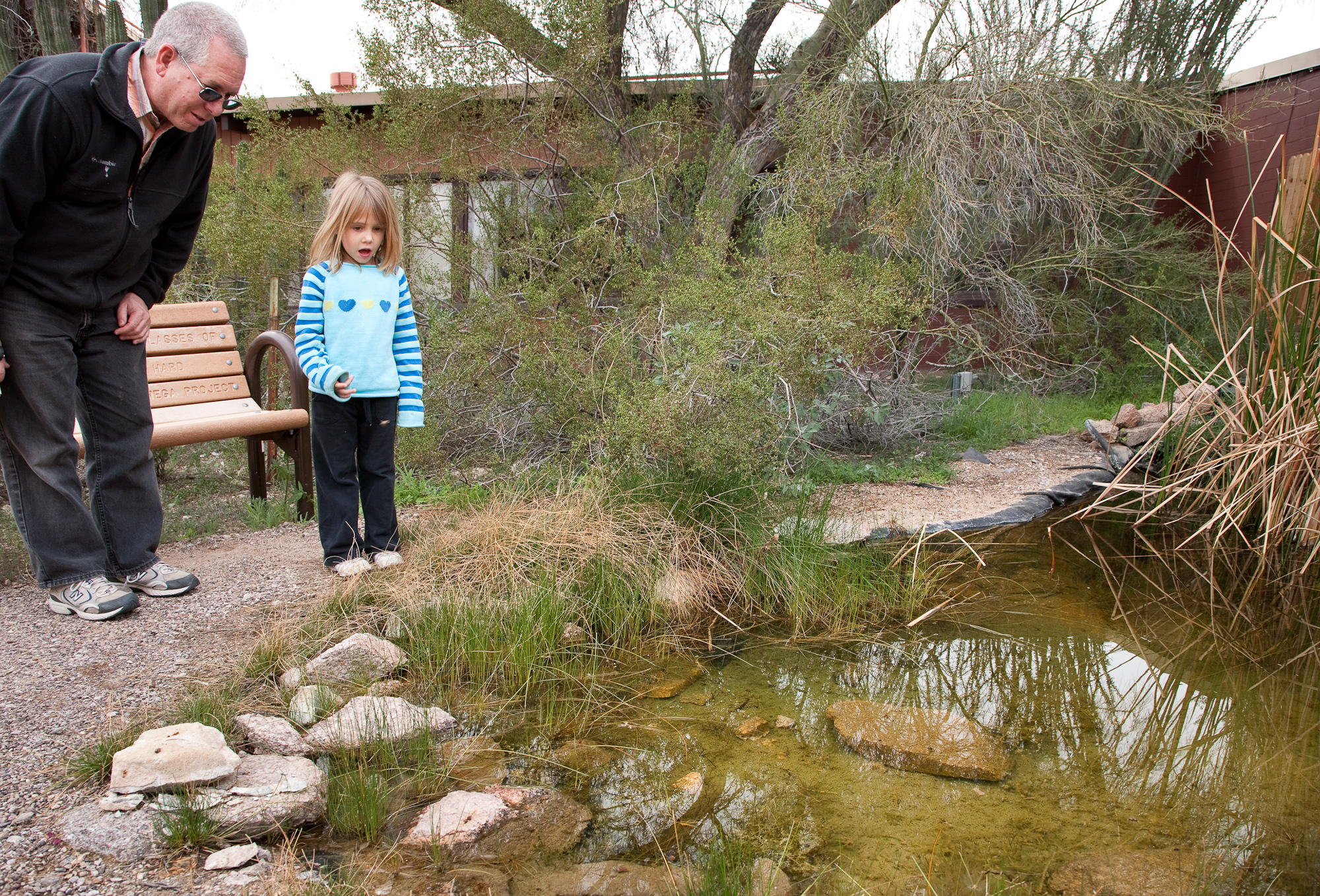
At the pond, keep an eye out for pupfish, dragonflies, tadpoles, and even the occasional coyote! Photo: NPS Photo/ Craig Stocks
Distance: 0.1 mile (0.2 kilometers)
Difficulty: Easy
Next to the Kris Eggle Visitor Center is a 1/10 th of a mile paved nature trail that loops by a small pond and showcases native Sonoran Desert plant life. The trail begins by the parking lot and loops around to the back of the visitor center.
Pets are allowed on this trail.
A Refuge for Endangered Quitobaquito Pupfish
The visitor center pond, affectionately known as “La Ciénaga" or "desert oasis," is home to the endangered Quitobaquito pupfish. This small fish is only found in Quitobaquito Springs , in the southwest corner of the monument, and in the Rio Sonoyta, a small Mexican river drainage directly south of the international border. Since this unique fish naturally exists in only one location within the United States, a second habitat was created and set aside as a refuge for this endangered species. This pond was designed and built in 2005 by 160 science students from Ajo Middle School.
Accessibility The Visitor Center Nature trail is a flat, paved trail that is 3 feet in width and accessible by wheelchair. Trail is 1/10th of a mile (0.16 kilometers) long.
The lines are the National Park Service's public trails layer, the trailheads and the waterfalls, views, peaks and historic places along them the Service's public points of interest, read 2026-10-14 and simplified for the map. The write-ups are the Service's own "things to do", unedited. Heights come from USGS 3DEP through Terrain Tiles on AWS (Mapzen/Tilezen), read along each line and rounded; a short trail on steep ground can be off by a few tens of feet. Closures change: check the park's own site before you go.