Clay Pit Loop
Picnic areas
Along the way Picnic Shelters

National Historical Park · Oregon, Washington
10 named trails · 5 miles · 4 with the Park Service's own write-up. The lines, trailheads and points are the Park Service's; the write-ups are the Service's own words; the climbing is read from USGS elevation along each line.
10 trails, A to Z.
Picnic areas
Along the way Picnic Shelters
3-6 Hours · dogs allowed · entrance fee applies
Start Fort to Sea Trail
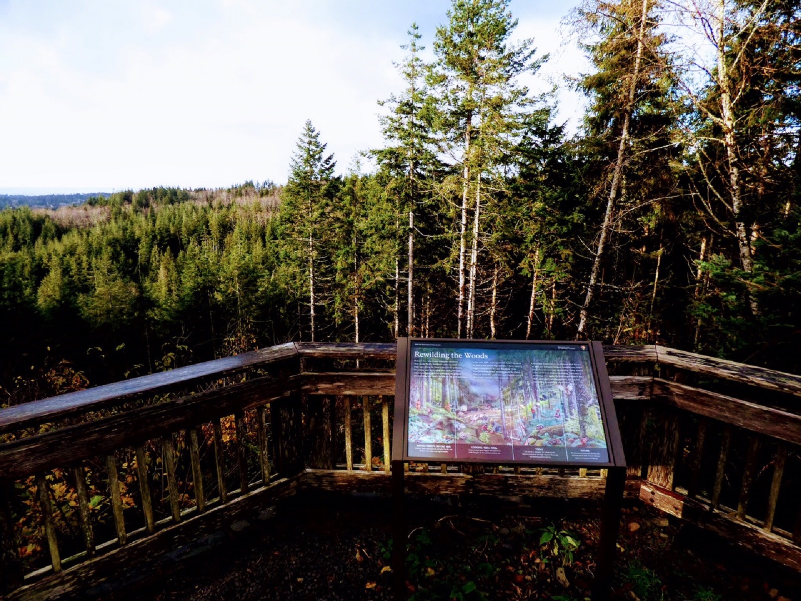
While the Corps forged its way through deep woods, muddy bogs and windswept beaches, a 6.5-mile trail now runs through much of the same forest, fields and dunes that the Corps traveled. The Fort To Sea Trail starts in the woods south of Fort Clatsop and goes to Sunset Beach on the Pacific Ocean, winding through ancestral lands of the Clatsop Indians who aided the Corps during their 1805/1806 winter stay at the Pacific.
The Fort to Sea trail makes a great day hike if you have prepared well. There are sections of the trail that are steep, going both uphill and downhill, sections of the trail that can be slick and muddy, and areas without much vegetative cover. Know before you go what the weather will be like, where you are going, and how you will get back to your car (remember it is 6.5 miles ONE WAY ). There are bathrooms at the trail head, sunset beach, and about halfway through. There are no water fountains so make sure you bring plenty of water and snacks. Please also plan on packing out anything you pack in as there are no trash cans along the way. Check out our safety page for more tips to prepare for your hike , and stop in at the visitor center before you go to pay the entrance fee, grab a trail map and check in with the ranger regarding any trail closures or dangerous conditions.
Accessibility Substrates - 60% compacted ¾” gravel, 20% boardwalk, 10% compacted dirt, 10% sand Steep slope - A steady elevation change of 300ft from trailhead to Clatsop Ridge overlook and long length of switchbacks after the Clatsop Ridge Overlook. Narrow section of path - 32 inches Benches/rest areas: Bench between trailhead and overlook. Picnic table and benches at overlook Obstructions: After passing through the tunnel under 101 there is a section of the trail with cattle guards that are narrow and do not provide a sufficient turning radius for wheelchairs. Potential hazards: Muddy, flooded, trail washing out, high winds, downed trees, wasps, slick boardwalks The Fort to Sea Trail is not designated as wheelchair-accessible. For specific inquiries please e-mail the Lewis and Clark NHP Accessibility Contact or call (503)861-2471.
1-5 Hours · dogs allowed · entrance fee applies
Start 92343 Fort Clatsop Rd.
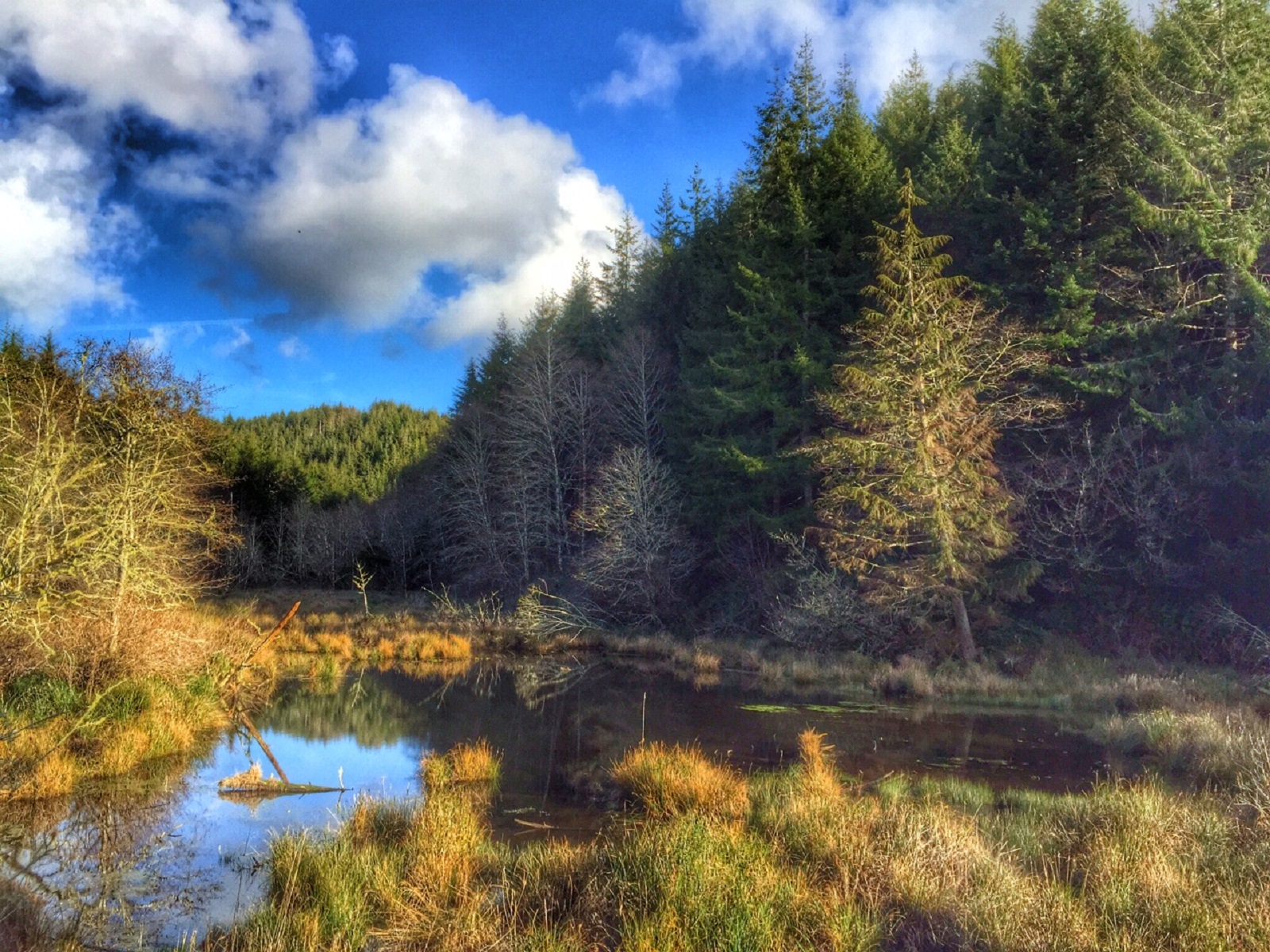
Enjoy a hike in the beautiful Sitka Spruce Temperate Rainforest. The Kwis Kwis Trail runs parallel to the Fort to Sea Trail and can be combined with the Fort to Sea Trail to make a variety of lengths of loops. Portions of the trail are along ponds with a great diversity of aquatic and avian wildlife.
The Kwis Kwis Trail makes a great day hike if you have prepared well. There are sections of the trail that are steep, going both uphill and downhill, sections of the trail that can be slick and muddy. Know before you go what the weather will be like, where you are going, and what connection you will be taking for your return hike. There is a bathroom at the trail head and one towards the end of the Kwis Kwis Extension (3.6 miles), but there are no water fountains, so make sure you bring plenty of water and snacks. Please also plan on packing out anything you pack in as there are no trash cans along the way. Check out our safety page for more tips to prepare for your hike , and stop in at the visitor center before you go to pay the entrance fee, grab a trail map and check in with the ranger regarding any trail closures or dangerous conditions.
Accessibility Kwis Kwis Trail + Extension Substrates - 50% compacted ¾” gravel, 30% compacted dirt, 20% boardwalk Steep slope - Yes Narrow section of path - 32 inches Benches/rest areas: No Potential hazards: Muddy, flooded, trail washing out, high winds, downed trees, slick boardwalks Kwis Kwis Connector Substrates - 100% compacted ¾” gravel Steep slope - No Narrow section of path: 48 inches Benches/rest areas: No Potential hazards: Muddy, flooded, trail washing out, high winds, downed trees, tree roots, tree roots The Kwis Kwis Trail is not designated as wheelchair-accessible. For specific inquiries please email the Lewis and Clark NHP Accessibility Contact or call (503)861-2471.
1-3 Hours · dogs allowed · entrance fee applies
Start South Slough Trail
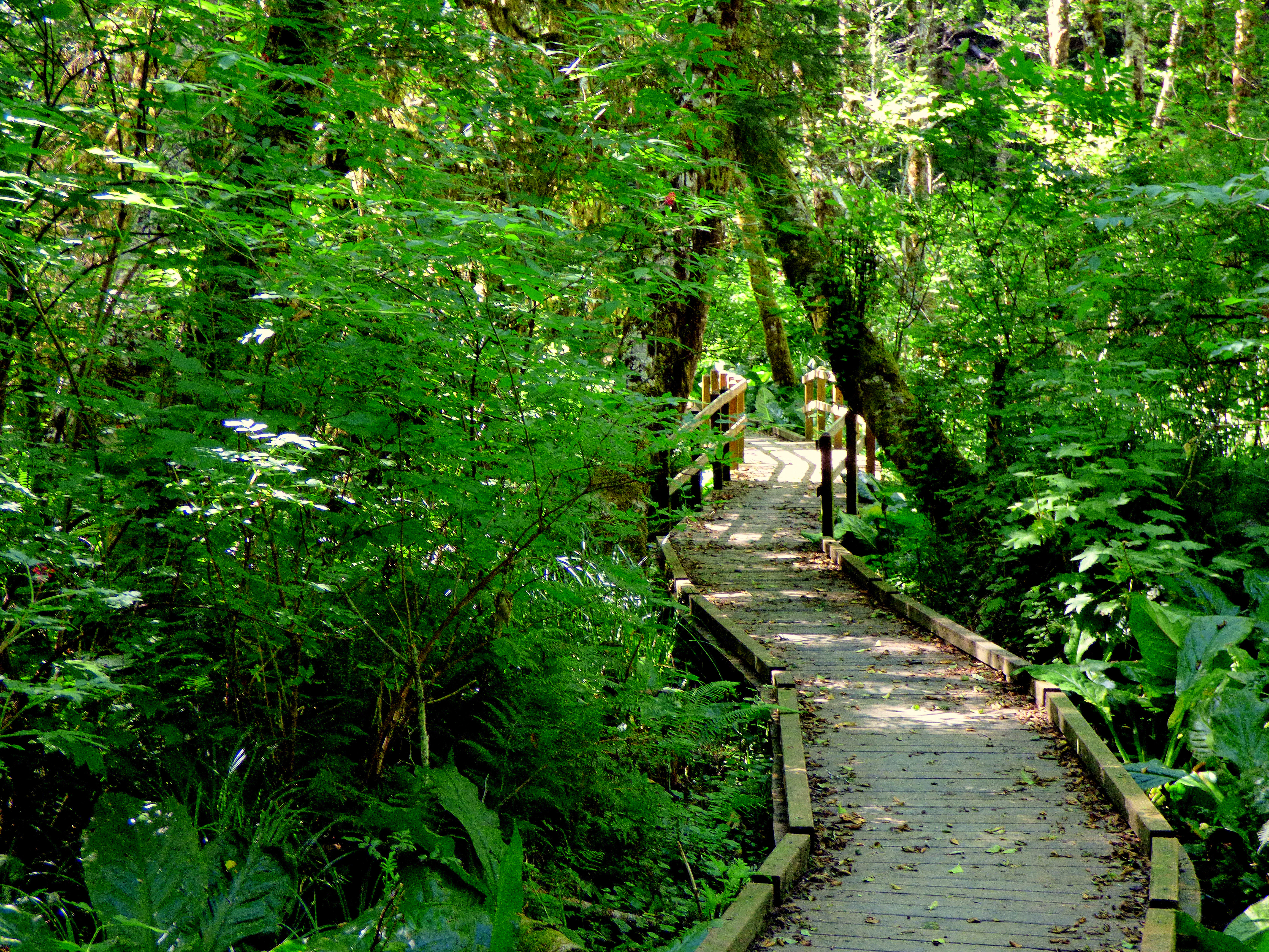
Enjoy a hike in the beautiful Sitka Spruce Temperate Rainforest. The South Slough Trail is south of the Fort to Sea Trail and can be combined with the Fort to Sea and Kwis Kwis trails for a longer hike. The South Slough Trail includes a boardwalk over a wetand restoration area.
The South Slough Trail makes a great day hike if you have prepared well. There are sections of the trail that are steep, going both uphill and downhill and sections of the trail that can be slick and muddy.
Know before you go what the weather will be like, where you are going. There is a bathroom at Netul Landing and one at the Fort to Sea Trailhead. There are no water fountains, so make sure you bring plenty of water and snacks. Please also plan on packing out anything you pack in as there are no trash cans along the trail.
Check out our safety page for more tips to prepare for your hike , and stop in at the visitor center before you go to pay the entrance fee, grab a trail map and check in with the ranger regarding any trail closures or dangerous conditions.
Accessibility Substrates - 40% Compacted ¾” gravel; 40% compacted dirt; 20% boardwalk Steep slope - appx. 30% grade at highest Narrow section of path -32 inches Benches/rest areas: Bench along path, pit toilets at Fort to Sea Trailhead and Netul Landing. Potential hazards: Muddy, flooded, trail washing out, high winds, downed trees, slick boardwalks. The South Slough Trail is not designated as wheelchair-accessible. For specific inquiries please e-mail the Lewis and Clark NHP Accessibility Contact or call (503)861-2471.
1-5 Hours · dogs allowed · entrance fee applies
Start 92343 Fort Clatsop Rd.
Enjoy a hike in the beautiful Sitka Spruce Temperate Rainforest. The Kwis Kwis Trail runs parallel to the Fort to Sea Trail and can be combined with the Fort to Sea Trail to make a variety of lengths of loops. Portions of the trail are along ponds with a great diversity of aquatic and avian wildlife.
The Kwis Kwis Trail makes a great day hike if you have prepared well. There are sections of the trail that are steep, going both uphill and downhill, sections of the trail that can be slick and muddy. Know before you go what the weather will be like, where you are going, and what connection you will be taking for your return hike. There is a bathroom at the trail head and one towards the end of the Kwis Kwis Extension (3.6 miles), but there are no water fountains, so make sure you bring plenty of water and snacks. Please also plan on packing out anything you pack in as there are no trash cans along the way. Check out our safety page for more tips to prepare for your hike , and stop in at the visitor center before you go to pay the entrance fee, grab a trail map and check in with the ranger regarding any trail closures or dangerous conditions.
Accessibility Kwis Kwis Trail + Extension Substrates - 50% compacted ¾” gravel, 30% compacted dirt, 20% boardwalk Steep slope - Yes Narrow section of path - 32 inches Benches/rest areas: No Potential hazards: Muddy, flooded, trail washing out, high winds, downed trees, slick boardwalks Kwis Kwis Connector Substrates - 100% compacted ¾” gravel Steep slope - No Narrow section of path: 48 inches Benches/rest areas: No Potential hazards: Muddy, flooded, trail washing out, high winds, downed trees, tree roots, tree roots The Kwis Kwis Trail is not designated as wheelchair-accessible. For specific inquiries please email the Lewis and Clark NHP Accessibility Contact or call (503)861-2471.
20-60 Minutes · dogs allowed · entrance fee applies
Start Netul Landing
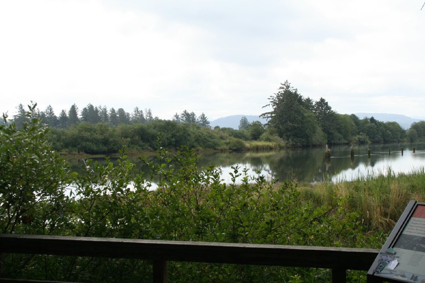
The Netul River Trail is rich in natural vistas and history. The 1.25 mile one way trail is level and easy going from the Historic Canoe Landing to the South Netul Landing, with a steep incline up to the Fort Clatsop Visitor Center. The river is influenced by tide, so the view and the wildlife will change not just throughout the seasons, but throughout the day.
The Netul River trail makes a great short hike. There are sections of the trail that can be slick. Know before you go what the weather will be like, where you are going, and how you will get back to your car. There are pit toilets at Netul Landing North and South and a restroom and water bottle filling station at the Fort Clatsop Visitor Center. There are trash cans at the visitor center and at North Netul, but not along the way. Please practice principals of Leave No Trace . Please Check out our safety page for more tips to prepare for your hike , and stop in at the visitor center before you go, to pay the entrance fee, grab a trail map and check in with a ranger regarding any trail closures or dangerous conditions.
Accessibility Trail from VC to Fort Length: 100 yards one way Substrates - 70% (Engineered Wood Fiber) Wood chips 3/4inch up to 3 inch; 30% Exposed concrete aggregate Steep slope - 2% Most narrow section of path - 32 inches Benches/rest areas: Benches available at fort and the patios outside the visitor center. Potential hazards: Slippery Trail from picnic area to historic canoe landing Length: 200 yards Substrate - Compacted Gravel, 1/4” and smaller Steep slope - yes Narrow section of path - 32 inches Benches/rest areas: Bench along path Potential hazards: Tree roots & slippery boardwalk Netul Trail Length: 1.25 miles one way Substrates - 50% compacted gravel ¼” and smaller; 30% broom finished concrete; 20% wooden boardwalk Slope: 1% Narrow sections of path: 32 inches Benches/rest areas: Bench along path Potential hazards: Muddy, flooded, high winds, downed trees, slick boardwalks Though the Netul River Trail is not designated as wheelchair-accessible, motor scooters can be borrowed from the Fort Clatsop Visitor Center front desk to travel from the visitor center to the Historic Canoe Landing. Motor Scooters are not suggested to go all the way to the Netul Landing due to insufficient battery charge. For specific inquiries please e-mail the Lewis and Clark NHP Accessibility Contact or call (503)861-2471.
15-60 Minutes · dogs allowed · entrance fee applies
Start Fort Clatsop Visitor Center
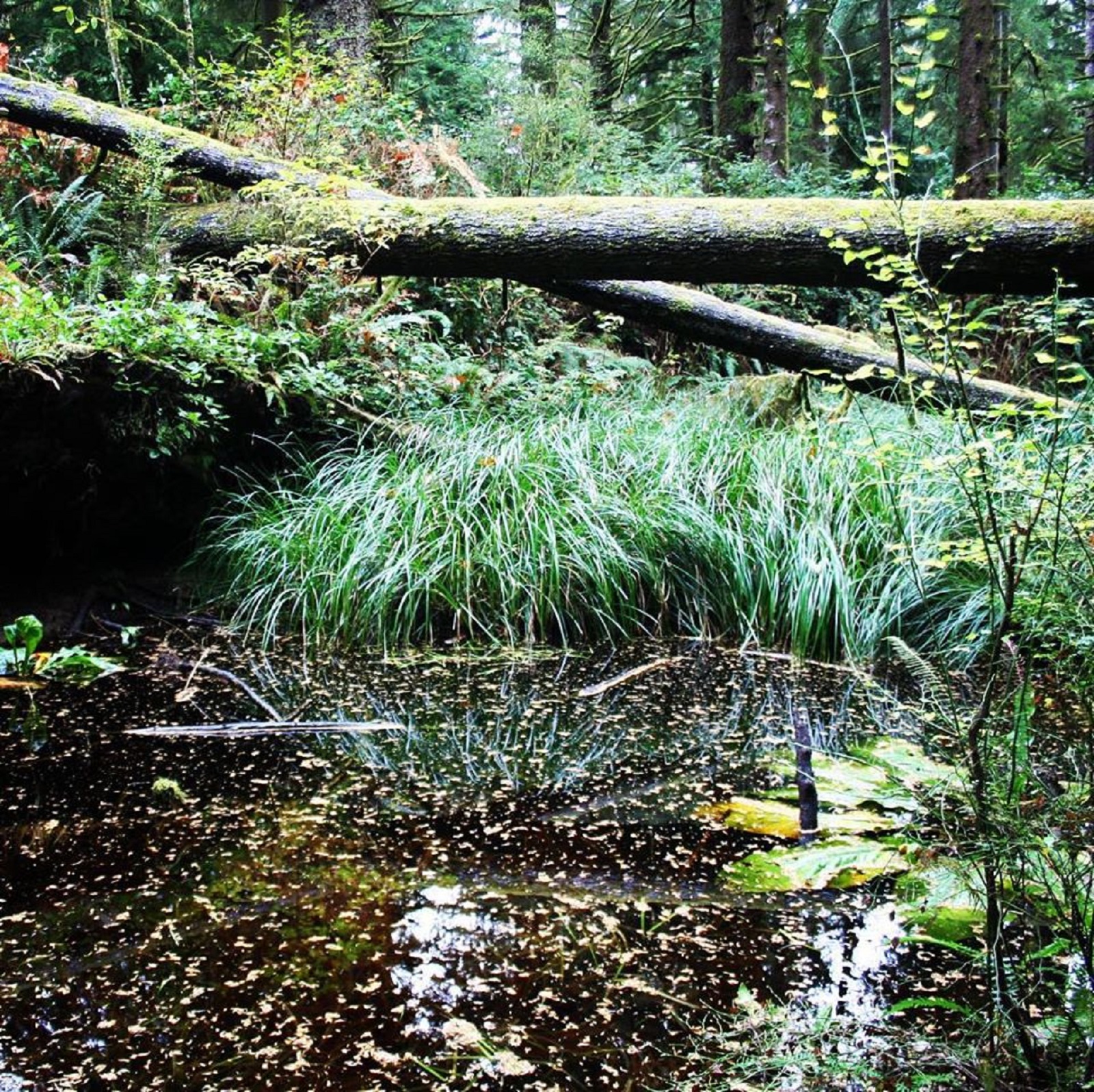
The Clay Pit Pond Primitive trail may not be long, but it provides the thrill of a rugged hike. A great trail for viewing wildlife or taking a moment of silent solitude in nature without having to go far.
There are sections of the trail that can be slick and muddy as well as a lot of exposed tree roots. Know before you go what the weather will be like and where you are going. There are restrooms and a water bottle filling station at the Fort Clatsop Visitor Center. There are trash cans at the picnic area, but not along the way. Please practice principals of Leave No Trace . Please Check out our safety page for more tips to prepare for your hike , and stop in at the visitor center before you go, to pay the entrance fee, grab a trail map and check in with a ranger regarding any trail closures or dangerous conditions.
Accessibility Clay Pit Pond Primitive Trail Substrate - 100% dirt Steep slope - Yes Narrow section of path - 12 inches Benches/rest areas: No Potential hazards: Muddy, flooded, trail washing out, high winds, downed trees, tree roots, steep steps The Clay Pit Pond Primitive Trail is not designated as wheelchair-accessible. For specific inquiries please e-mail the Lewis and Clark NHP Accessibility Contact or call (503)861-2471
1-3 Hours · dogs allowed · entrance fee applies
Start South Slough Trail
Enjoy a hike in the beautiful Sitka Spruce Temperate Rainforest. The South Slough Trail is south of the Fort to Sea Trail and can be combined with the Fort to Sea and Kwis Kwis trails for a longer hike. The South Slough Trail includes a boardwalk over a wetand restoration area.
The South Slough Trail makes a great day hike if you have prepared well. There are sections of the trail that are steep, going both uphill and downhill and sections of the trail that can be slick and muddy.
Know before you go what the weather will be like, where you are going. There is a bathroom at Netul Landing and one at the Fort to Sea Trailhead. There are no water fountains, so make sure you bring plenty of water and snacks. Please also plan on packing out anything you pack in as there are no trash cans along the trail.
Check out our safety page for more tips to prepare for your hike , and stop in at the visitor center before you go to pay the entrance fee, grab a trail map and check in with the ranger regarding any trail closures or dangerous conditions.
Accessibility Substrates - 40% Compacted ¾” gravel; 40% compacted dirt; 20% boardwalk Steep slope - appx. 30% grade at highest Narrow section of path -32 inches Benches/rest areas: Bench along path, pit toilets at Fort to Sea Trailhead and Netul Landing. Potential hazards: Muddy, flooded, trail washing out, high winds, downed trees, slick boardwalks. The South Slough Trail is not designated as wheelchair-accessible. For specific inquiries please e-mail the Lewis and Clark NHP Accessibility Contact or call (503)861-2471.
The lines are the National Park Service's public trails layer, the trailheads and the waterfalls, views, peaks and historic places along them the Service's public points of interest, read 2026-10-14 and simplified for the map. The write-ups are the Service's own "things to do", unedited. Heights come from USGS 3DEP through Terrain Tiles on AWS (Mapzen/Tilezen), read along each line and rounded; a short trail on steep ground can be off by a few tens of feet. Closures change: check the park's own site before you go.