Beaver Pond Trail
Trailheads Beaver Pond Trailhead 321 ft Drive there · Tanalian Falls and Kontrashibuna Lake Trailhead 320 ft Drive there · Tanalian Mountain Trailhead 651 ft Drive there

National Park & Preserve · Alaska
8 named trails · 9 miles · 3 trailheads · 1 with the Park Service's own write-up. The lines, trailheads and points are the Park Service's; the write-ups are the Service's own words; the climbing is read from USGS elevation along each line.
8 trails, A to Z.
Trailheads Beaver Pond Trailhead 321 ft Drive there · Tanalian Falls and Kontrashibuna Lake Trailhead 320 ft Drive there · Tanalian Mountain Trailhead 651 ft Drive there
Trailheads Beaver Pond Trailhead 321 ft Drive there · Tanalian Falls and Kontrashibuna Lake Trailhead 320 ft Drive there
Trailhead Tanalian Mountain Trailhead 651 ft Drive there
1-12 Hours · dogs allowed · Spring, Summer, Fall
Start Port Alsworth, Alaska
Ranger Recommendation
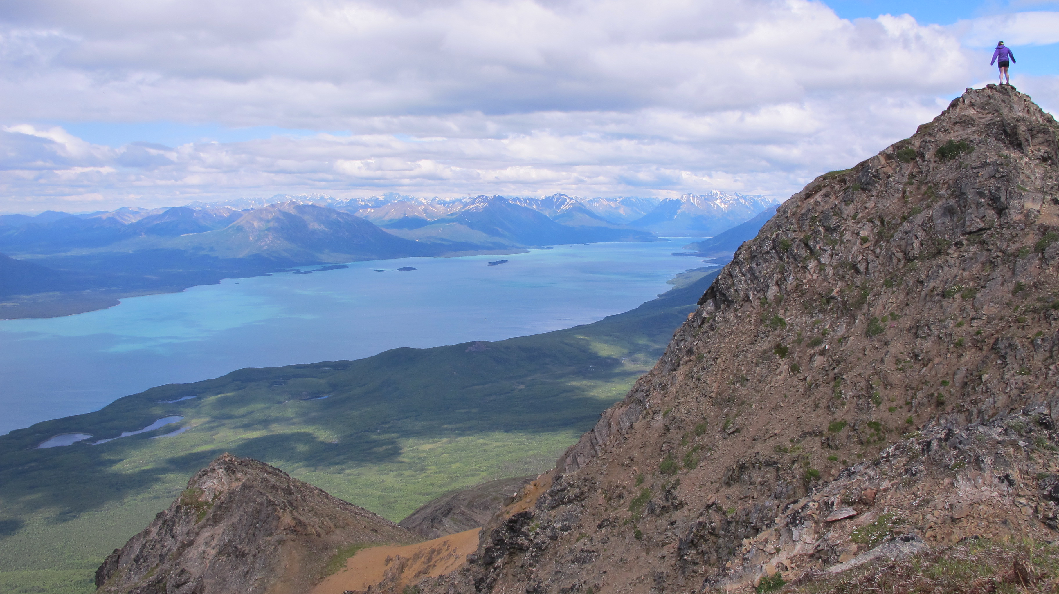
The trail is steep, bring a lot of water and snacks. It is usually colder and windier at the top of the mountain so it's smart to bring extra layers. Rain can occur anytime in Southwest Alaska. Be prepared with raingear even on sunny days.
Accessibility The trail ascends steeply from about 650 ft to 3900 ft in roughly 2.5 miles. The surface can be muddy, slippery, rocky and some scrambling may be required.
History
Along the way Proenneke Cabin
The lines are the National Park Service's public trails layer, the trailheads and the waterfalls, views, peaks and historic places along them the Service's public points of interest, read 2026-10-14 and simplified for the map. The write-ups are the Service's own "things to do", unedited. Heights come from USGS 3DEP through Terrain Tiles on AWS (Mapzen/Tilezen), read along each line and rounded; a short trail on steep ground can be off by a few tens of feet. Closures change: check the park's own site before you go.