Arbor Trail
Picnic areas
Along the way Picnic Pavilion

National Memorial · Pennsylvania
5 named trails · 1 miles · 2 with the Park Service's own write-up. The lines, trailheads and points are the Park Service's; the write-ups are the Service's own words; the climbing is read from USGS elevation along each line.
5 trails, A to Z.
Picnic areas
Along the way Picnic Pavilion
dogs allowed
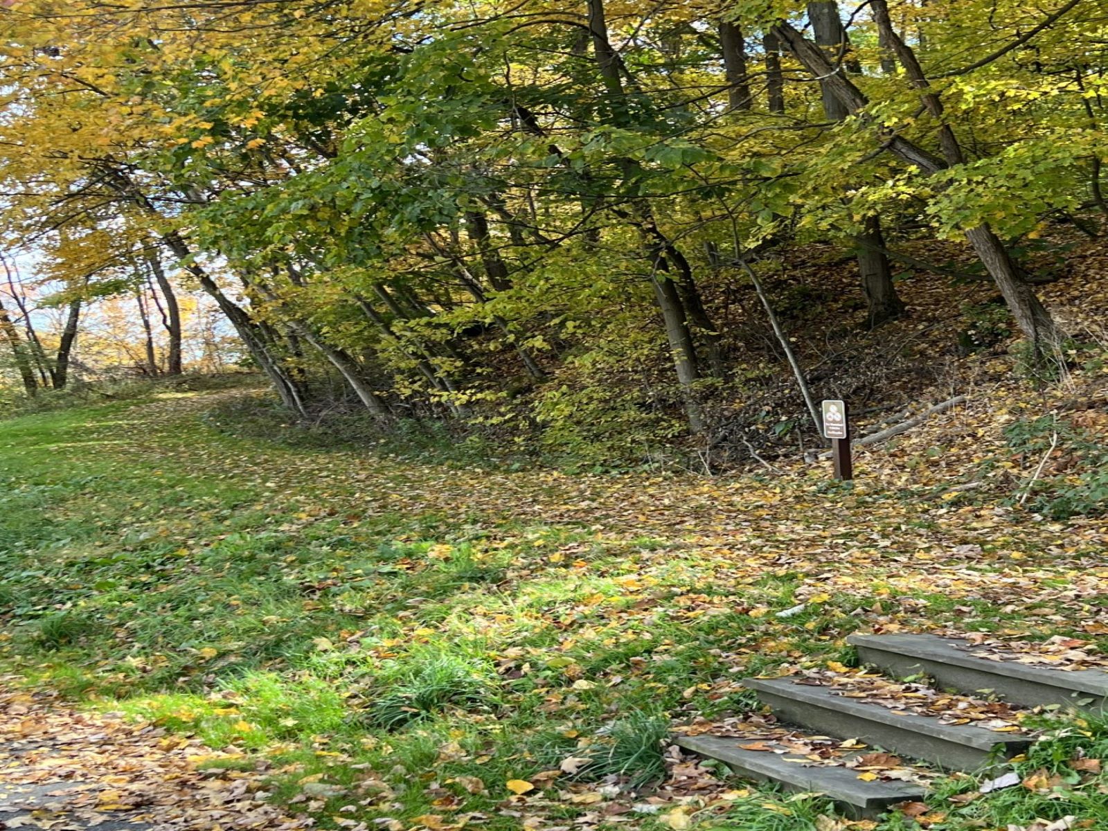
The Carriage Road Nature Trail follows the carriage road that the South Fork Fishing and Hunting Club members would have taken after they crossed the top of the South Fork Dam on their journey from South Fork to the Club House and cottages. It can be accessed from the top of the parking lot at the South Abutment.
From the South Abutment to the end of the trail and back to the parking lot is approximately .90 miles. Adding in the Arbor Trail extension to the picnic area and back is approximately 1.15 miles. The trail contains several slopes.
Accessibility The trail contains several slopes. Please watch for rocks.
Views
Along the way North Overlook
Views
Along the way South Overlook
dogs allowed
The Carriage Road Nature Trail follows the carriage road that the South Fork Fishing and Hunting Club members would have taken after they crossed the top of the South Fork Dam on their journey from South Fork to the Club House and cottages. It can be accessed from the top of the parking lot at the South Abutment.
From the South Abutment to the end of the trail and back to the parking lot is approximately .90 miles. Adding in the Arbor Trail extension to the picnic area and back is approximately 1.15 miles. The trail contains several slopes.
Accessibility The trail contains several slopes. Please watch for rocks.
dogs allowed
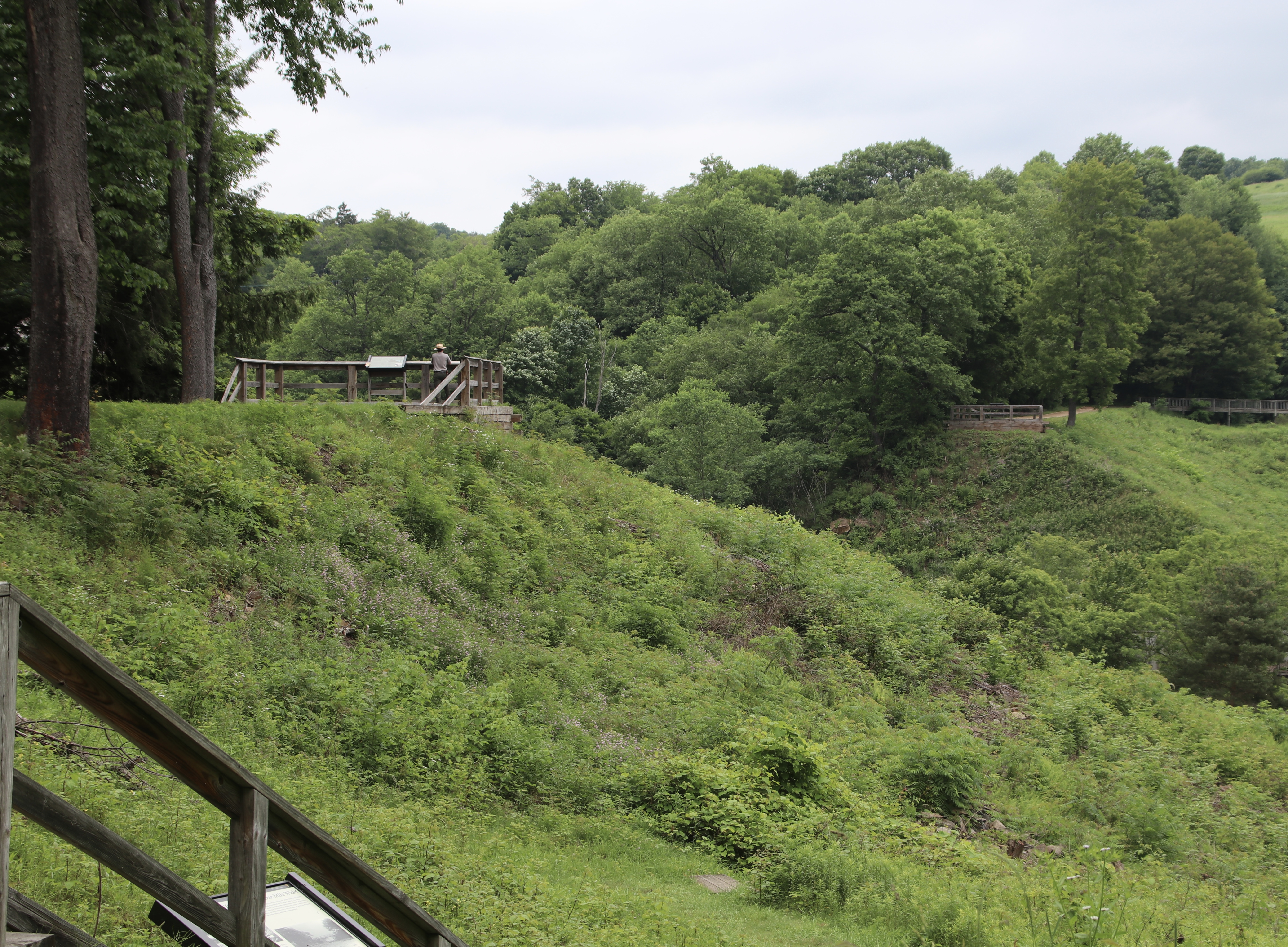
Walk Through the Ruins
This ranger guided walk takes participants through the ruins of the South Fork Dam . Please check back for summer 2027 program information.
The program is approximately 45 minutes in length and will take participants to the bottom of the dam, through the breach and back up out of the dam on the other side. Participants will learn about May 31, 1889, the hillside across from the dam, and much more! Please note that the last portion of the walk contains a steep section. The walk is approximately 1/3 mile.
Participants are encouraged to wear proper shoes and bring water. The meeting location is on the South Abutment.
The walk is weather and staff dependent. Please call the Visitor Center at 814-886-6171 on the day of your visit to see if the program is being offered. No reservations are required! This walk can also be done self-guided. Park grounds are open daily from sunrise to sunset.
Accessibility The tour contains several sets of steps to get to the bottom of the former lakebed. The final portion of the walk contains steps to get back out of the lakebed. Some of the trail surface is grassy and uneven.
Views
Along the way South Overlook
The lines are the National Park Service's public trails layer, the trailheads and the waterfalls, views, peaks and historic places along them the Service's public points of interest, read 2026-10-14 and simplified for the map. The write-ups are the Service's own "things to do", unedited. Heights come from USGS 3DEP through Terrain Tiles on AWS (Mapzen/Tilezen), read along each line and rounded; a short trail on steep ground can be off by a few tens of feet. Closures change: check the park's own site before you go.