
National Park · Michigan
Trails in Isle Royale National Park
44 named trails · 158 miles · 1 trailhead · 11 with the Park Service's own write-up. The lines, trailheads and points are the Park Service's; the write-ups are the Service's own words; the climbing is read from USGS elevation along each line.
44 trails, A to Z.
Daisy Farm Trail
Hike the Daisy Farm Trail the Park Service's write-up
1-3 Hours · no dogs · Spring, Summer, Fall
Start Daisy Farm Trail at Isle Royale National Park
About this Trail
Mileage: About 1.7 miles
Changing trail conditions require a map, compass, and navigation skills
Overgrown vegetation near trail
Trailheads
Daisy Farm
Via Rock Harbor Trail, private boat, Voyageur II passenger ferry, rental boat from Rock Harbor Lodge , or water taxi from Rock Harbor Lodge .
Reservations for the ferry, rental boat, and taxi are needed in advance.
Rock Harbor
Windigo via the Greenstone Ridge Trail
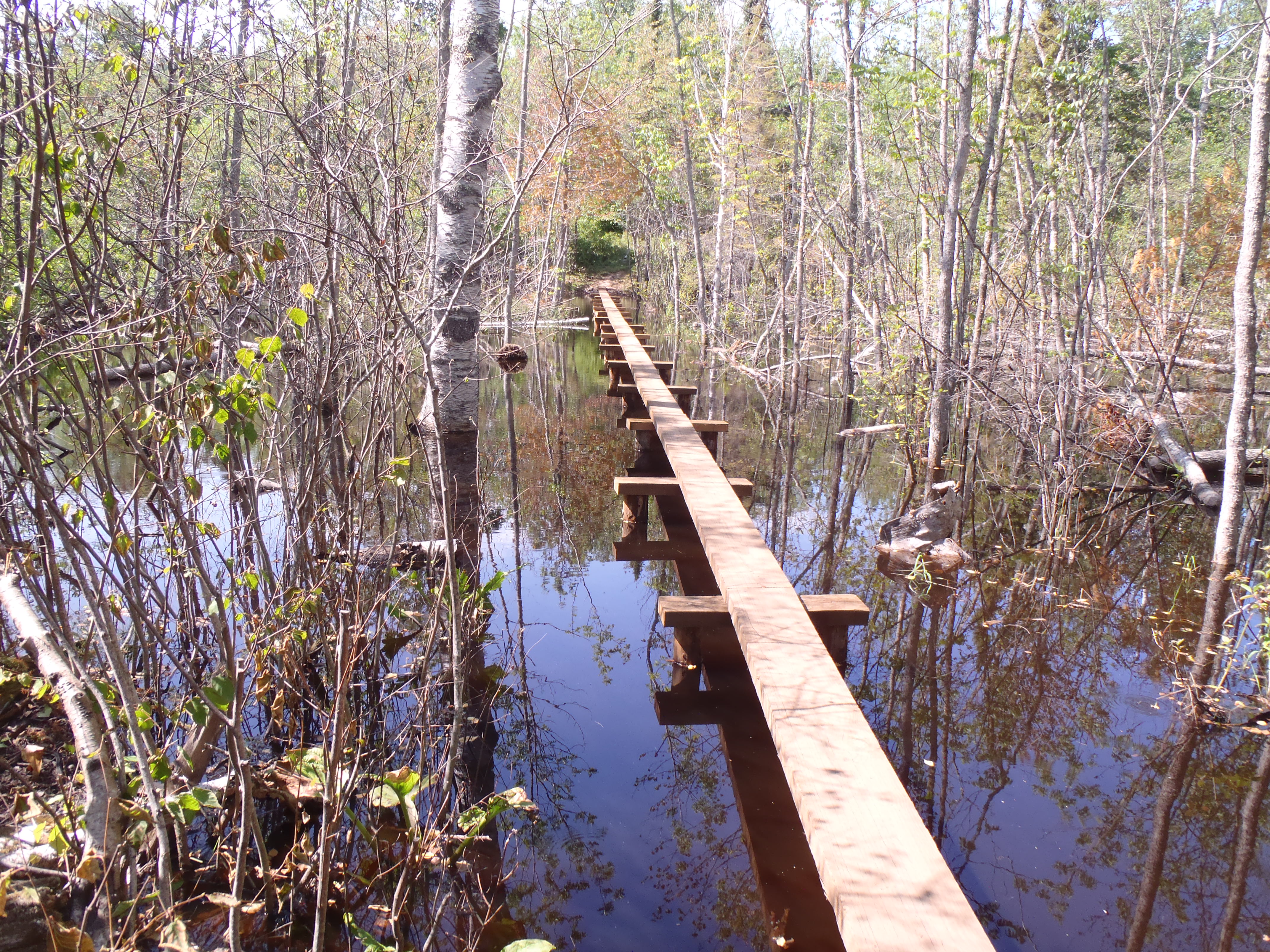
The Daisy Farm Trail connects Daisy Farm Campground to the Greenstone Ridge Trail to the north. There is a decent gradient up to the ridge top with rewarding views of the eastern side of Isle Royale. This trail includes lengthy boardwalk bridges that are slippery when wet. Beaver activity in this area can cause flooding to the trail.
Adventure for the Day
Rent a vessel from the Rock Harbor Lodge , dock at the Daisy Farm Dock, and day hike near Daisy Farm. Hike the Daisy Farm Triangle (about 5.1 miles total) which includes the Daisy Farm Trail, Mount Ojibway Trail, and a section of the Greenstone Ridge Trail. Make sure to bring day hiking essentials.
Found Nearby
Daisy Farm Campground
Three Mile Campground
East Chickenbone Campground
Lane Cove Campground
Accessibility The trail is 18 inches wide and covered in rocks and roots.
Hike the Mount Ojibway Trail the Park Service's write-up
1-3 Hours · no dogs · Spring, Summer, Fall
Start Mount Ojibway Trail at Isle Royale National Park
About this Trail
Mileage: About 1.7 miles
Rocks and roots on trail
Changing trail conditions require a map, compass, and navigation skills
Trailheads
Rock Harbor
Daisy Farm
Via Rock Harbor Trail, private boat, rental boat, water taxi, or Voyageur II passenger ferry
Reservations are needed in advanced for a rental boat, water taxi, or Voyageur II
Windigo via Greenstone Ridge Trail
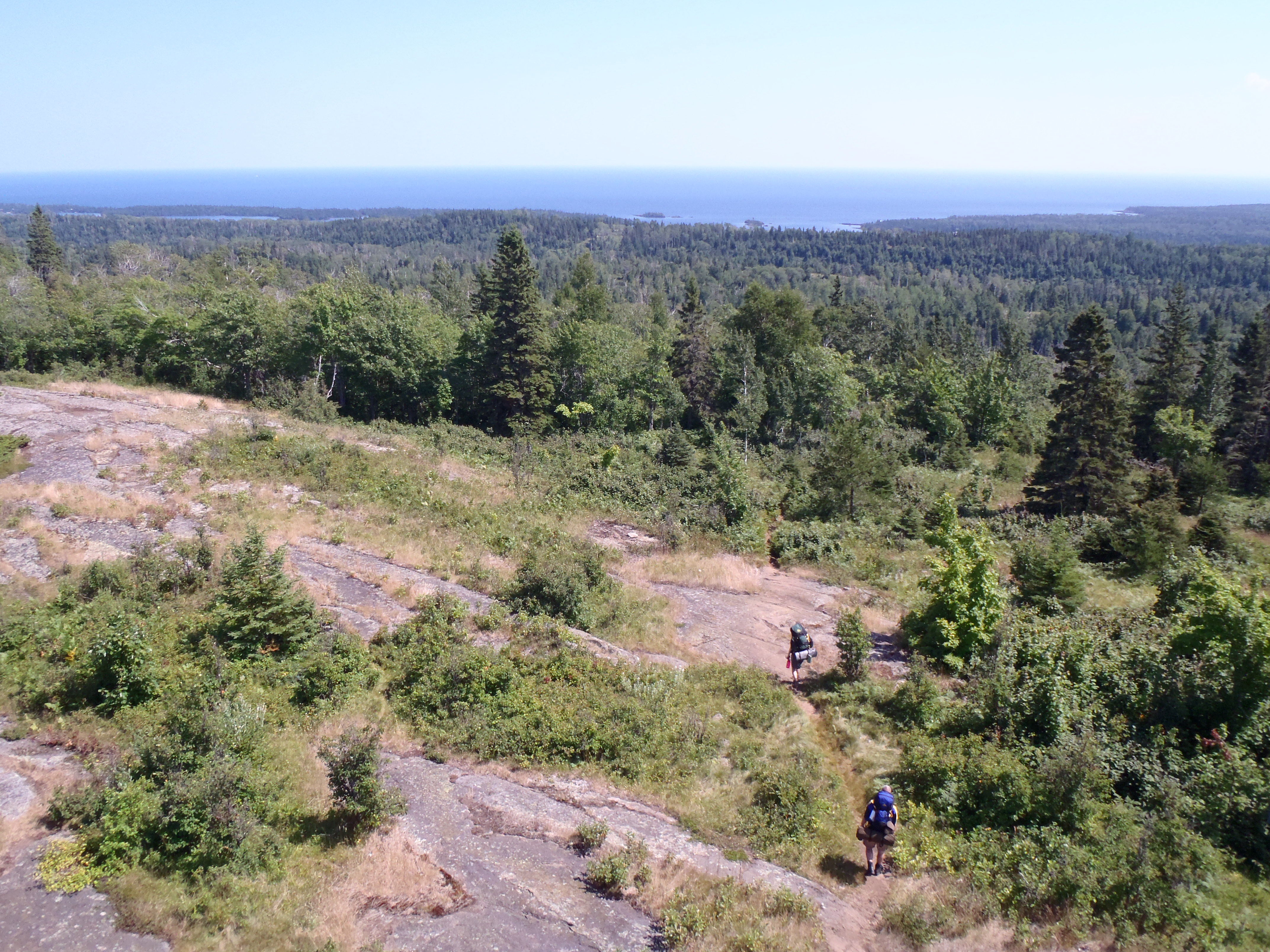
The Mount Ojibway Trail connects Daisy Farm Campground to Mount Ojibway, located on the Greenstone Ridge. The trail steeply ascends to the Greenstone Ridge. The Ojibway Tower sits on Mount Ojibway. Hikers can climb part way up the tower and enjoy scenic views of the island's eastern end on a clear day.
Adventure for the Day
Rent a vessel from the Rock Harbor Lodge , dock at the Daisy Farm Dock, and day hike near Daisy Farm. Hike the Daisy Farm Triangle (about 5.1 miles total) which includes the Daisy Farm Trail, Mount Ojibway Trail, and a section of the Greenstone Ridge Trail. Make sure to bring day hiking essentials.
Found Nearby
Daisy Farm Campground
Ojibway Tower
Mount Ojibway
Mount Franklin
East Chickenbone Campground
Lane Cove Campground
Moskey Basin Campground
Three Mile Campground
Accessibility The trail is about 18 inches wide and is covered in rocks and roots.
East Chickenbone Lake Trail
East Huginnin Cove Trail
Campgrounds
Along the way Huginnin Cove
Edisen Fishery Trail
Feldtmann Lake Trail
CampgroundsVisitor centersBoat launches
Along the way Windigo Feldtmann Lake Windigo Visitor Center
Trailhead Trailhead 623 ft Drive there
Hike to Grace Creek Overlook the Park Service's write-up
2-4 Hours · no dogs · Spring, Summer, Fall
Start Isle Royale National Park
About this Trail
Mileage: About 3.6 miles round trip (1.8 miles from Windigo to overlook)
Rocks and roots on trail
Trailheads
Windigo
Feldtmann Lake Campground
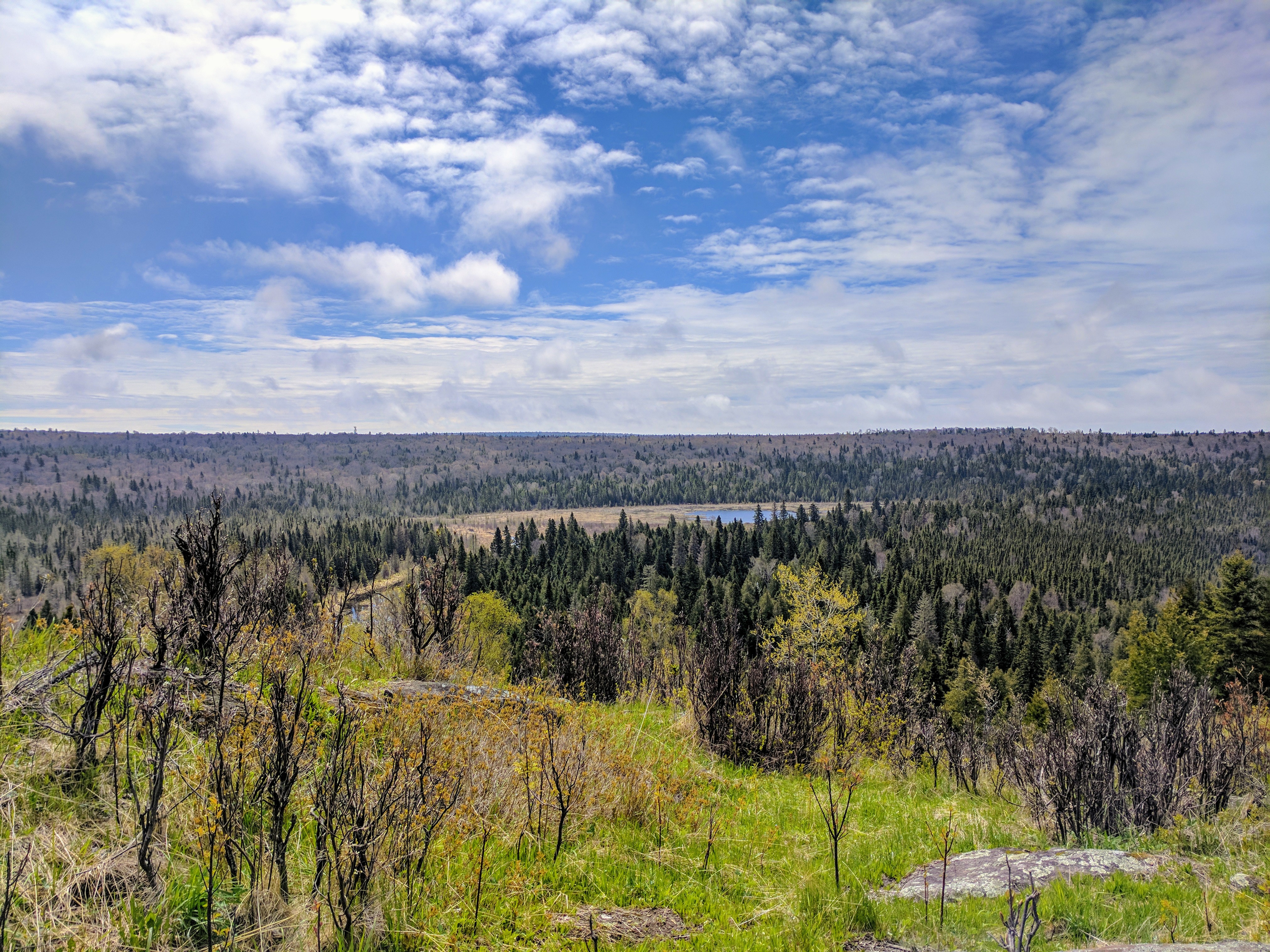
Hike to Grace Creek Overlook on the west end of Isle Royale National Park. Grace Creek Overlook offers scenic views of Grace Creek, Grace Harbor, and Lake Superior. A spur trail off of the Feldtmann Lake Trail leads to the rocky overlook. A 1.8 mile hike from Windigo over rock and root covered trails leads to the overlook. Return the way you came to complete a 3.6 mile round-trip hike.
Found Nearby
Windigo Area
Washington Creek Campground
Accessibility The trail is about 18 inches wide and is not paved. The trail is covered in rocks and roots. The beginning of the hike is along Washington Harbor. Once the hike turns inland, the trail begins to steepen.
Feldtmann Ridge Trail
Campgrounds
Along the way Feldtmann Lake
Greenstone Ridge Trail
Hike the Daisy Farm Trail the Park Service's write-up
1-3 Hours · no dogs · Spring, Summer, Fall
Start Daisy Farm Trail at Isle Royale National Park
About this Trail
Mileage: About 1.7 miles
Changing trail conditions require a map, compass, and navigation skills
Overgrown vegetation near trail
Trailheads
Daisy Farm
Via Rock Harbor Trail, private boat, Voyageur II passenger ferry, rental boat from Rock Harbor Lodge , or water taxi from Rock Harbor Lodge .
Reservations for the ferry, rental boat, and taxi are needed in advance.
Rock Harbor
Windigo via the Greenstone Ridge Trail
The Daisy Farm Trail connects Daisy Farm Campground to the Greenstone Ridge Trail to the north. There is a decent gradient up to the ridge top with rewarding views of the eastern side of Isle Royale. This trail includes lengthy boardwalk bridges that are slippery when wet. Beaver activity in this area can cause flooding to the trail.
Adventure for the Day
Rent a vessel from the Rock Harbor Lodge , dock at the Daisy Farm Dock, and day hike near Daisy Farm. Hike the Daisy Farm Triangle (about 5.1 miles total) which includes the Daisy Farm Trail, Mount Ojibway Trail, and a section of the Greenstone Ridge Trail. Make sure to bring day hiking essentials.
Found Nearby
Daisy Farm Campground
Three Mile Campground
East Chickenbone Campground
Lane Cove Campground
Accessibility The trail is 18 inches wide and covered in rocks and roots.
Hatchet Lake Access Trail
Hatchet Lake Trail
Indian Portage Trail
Campgrounds
Along the way Chippewa Harbor McCargoe Cove W. Chickenbone Lake
Ishpeming Trail
Boat launches
Along the way Malone Bay
Island Mine Trail
Campgrounds
Along the way Island Mine
Lake LeSage Access Trail
Lake Livermore Access Trail
Lake Mason Access Trail
Lake Richie Access Trail
Lake Richie Trail
Lane Cove Trail
Campgrounds
Along the way Lane Cove
Little Todd Access Trail
Lookout Louise Access Trail
McCargo Cove Access Trail
Minong Mine Access Trail
Minong Ridge Trail
Campgrounds
Along the way McCargoe Cove Todd Harbor
Hike the Huginnin Loop the Park Service's write-up
4-8 Hours · no dogs · Spring, Summer, Fall
Start Hugunnin Cove Trail at Isle Royale National Park
About this Trail
Total Mileage: about 8.2 miles (including spur trail to Windigo area)
Rating: beginner backpackers or experienced day hikers
Rocks and roots on trail
Changing trail conditions require a map, compass, and navigation skills
Boardwalks slippery when wet
Trailheads
Windigo
Minong Ridge Trail
The Huginnin Cove Loop can be done as a day hike or an overnight backpacking trip. The two sides of the Loop are different and both lead to the Huginnin Cove Campground located on the north shore of Isle Royale.
West Huginnin
Mileage : about 3.1 miles
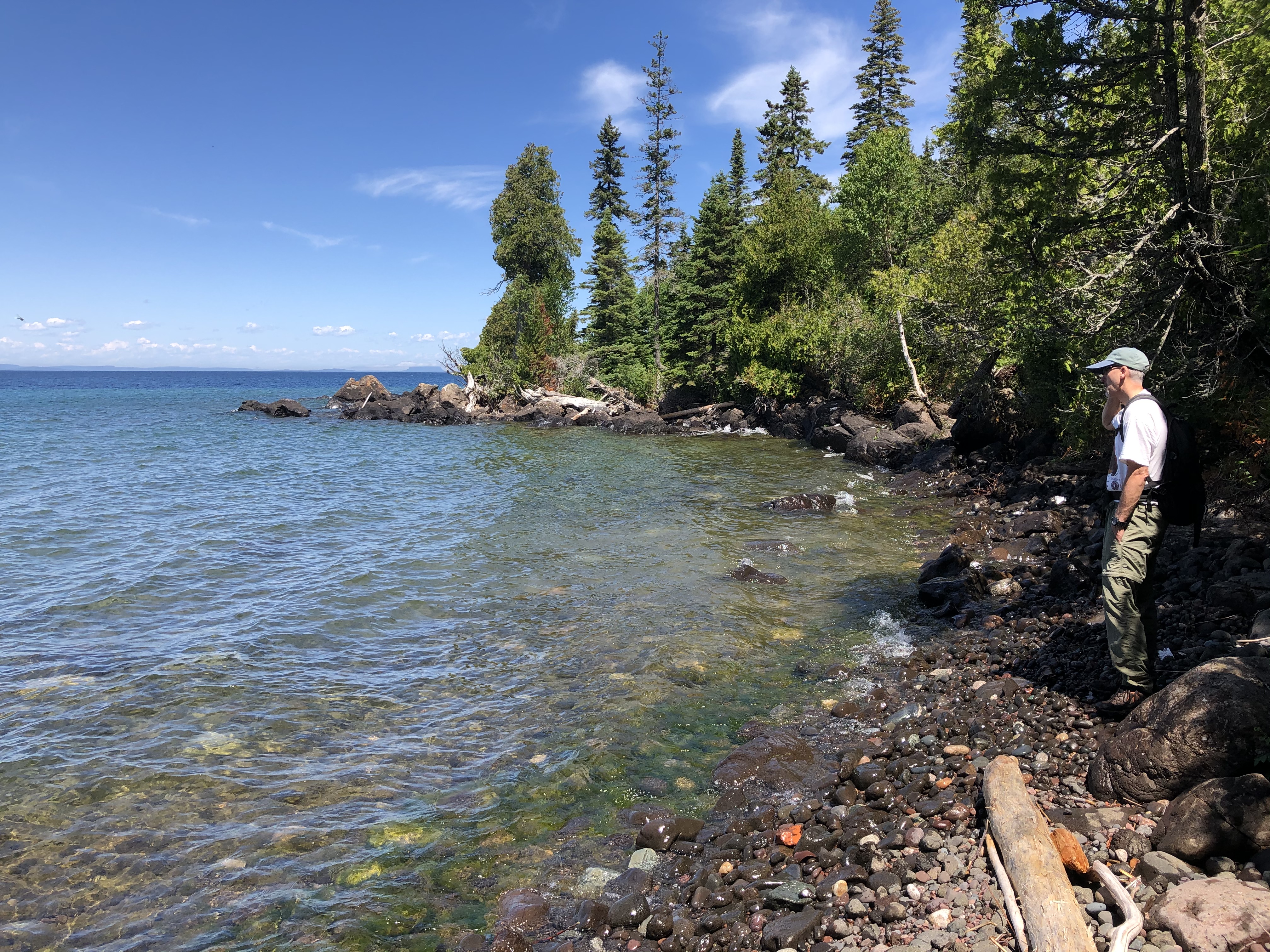
This section of the loop is a shorter distance to the campground. The start of the hike hugs Washington Harbor and then cuts north towards Isle Royale’s north shore. The trail rolls up and down the actual Minong Ridge. Eventually a stream appears to the east of the trail, this is how you know you have almost reached the Huginnin Cove Campground. Make sure to take a break and enjoy the view of Lake Superior and Canada from the campground.
East Huginnin
Mileage : about 3.3 miles
The East Huginnin is a longer trail section and a favorite among many hikers. Start with the best, or save it for last—this section of trail will not disappoint. Starting from Windigo this trail follows the beginnign of the Minong Ridge Trail. At the junciton the East Huginnin cuts north. The trail rolls over the actual Minong Ridge and passes remnants from a Wendigo Mine exploration site. Continue until the trail moves adjacent to the northern shore of the island. This last section of trail before the campground offers scenic views of Lake Superior and Canada in the distance (on a clear day). Watch your step, the rocky trail lacks sure footing.
Found Nearby
Huginnin Cove Campground
Washington Creek Campground
Windigo
Minong Ridge Trail
Windigo Store
Windigo Marina
Accessibility The trail is 18 inches wide and covered in rocks and roots.
Hike to Minong Ridge Overlook the Park Service's write-up
2-6 Hours · no dogs · Spring, Summer, Fall
Start Isle Royale National Park
About this Trail
Mileage: About 6 miles round trip (3 miles from Windigo to overlook)
Rocks and roots on trail
Changing trail conditions require a map, compass, and navigation skills
Trailheads
Windigo
Rock Harbor via Greenstone Ridge Trail
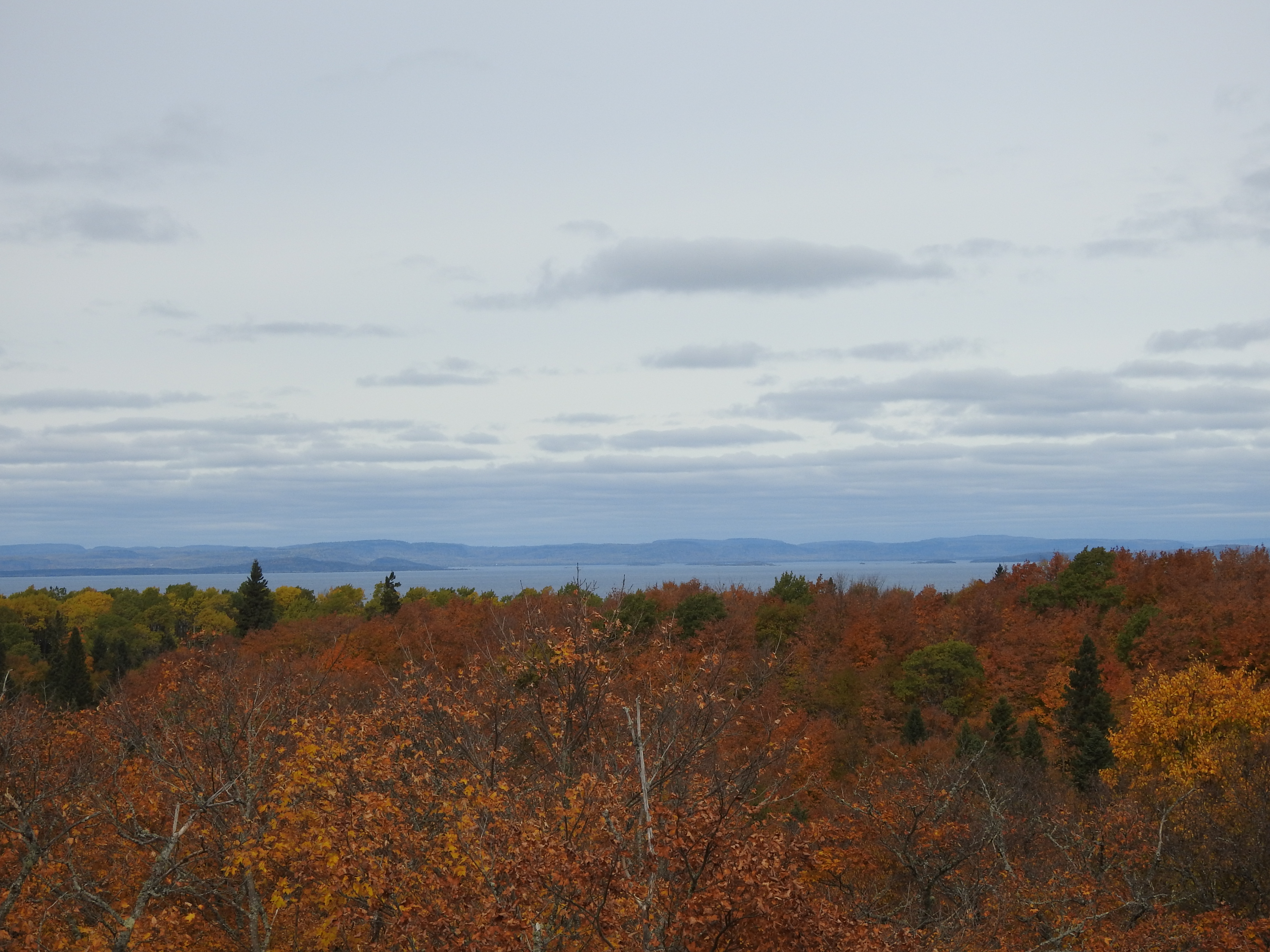
The Minong Ridge Overlook is a day hike destination on the western end of Isle Royale National Park. The overlook offers scenic views of Lake Superior, the Canadian shoreline to the north, and the western end of Isle Royale. The overlook is about three miles from Windigo located on the Minong Ridge Trail. The Minong Ridge Trail is the most challenging trail in the park. This six-mile round trip day hike travels through maple forests, over creeks, and ends on top of a rocky ridge top.
Found Nearby
Windigo Area
Huginnin Cove Campground
Washington Creek Campground
Accessibility The trail is about 18 inches wide and is not paved. The trail is covered in rocks and roots.
Moskey Basin Access Trail
Mott Island Trail
Mount Franklin Trail
Hike the Mount Franklin Trail the Park Service's write-up
1-4 Hours · no dogs · Spring, Summer, Fall
Start Mount Franklin Trail at Isle Royale National Park
About this Trail
Mileage: About 2.5 miles (including spur trails to overlook and campground)
Rocks and roots on trail
Overgrown vegetation near trail
Changing trail conditions require a map, compass, and navigation skills
Trailheads
Rock Harbor
Windigo via the Greenstone Ridge Trail
Hidden Lake
Via water taxi from Rock Harbor Lodge . Reservations needed in advance.
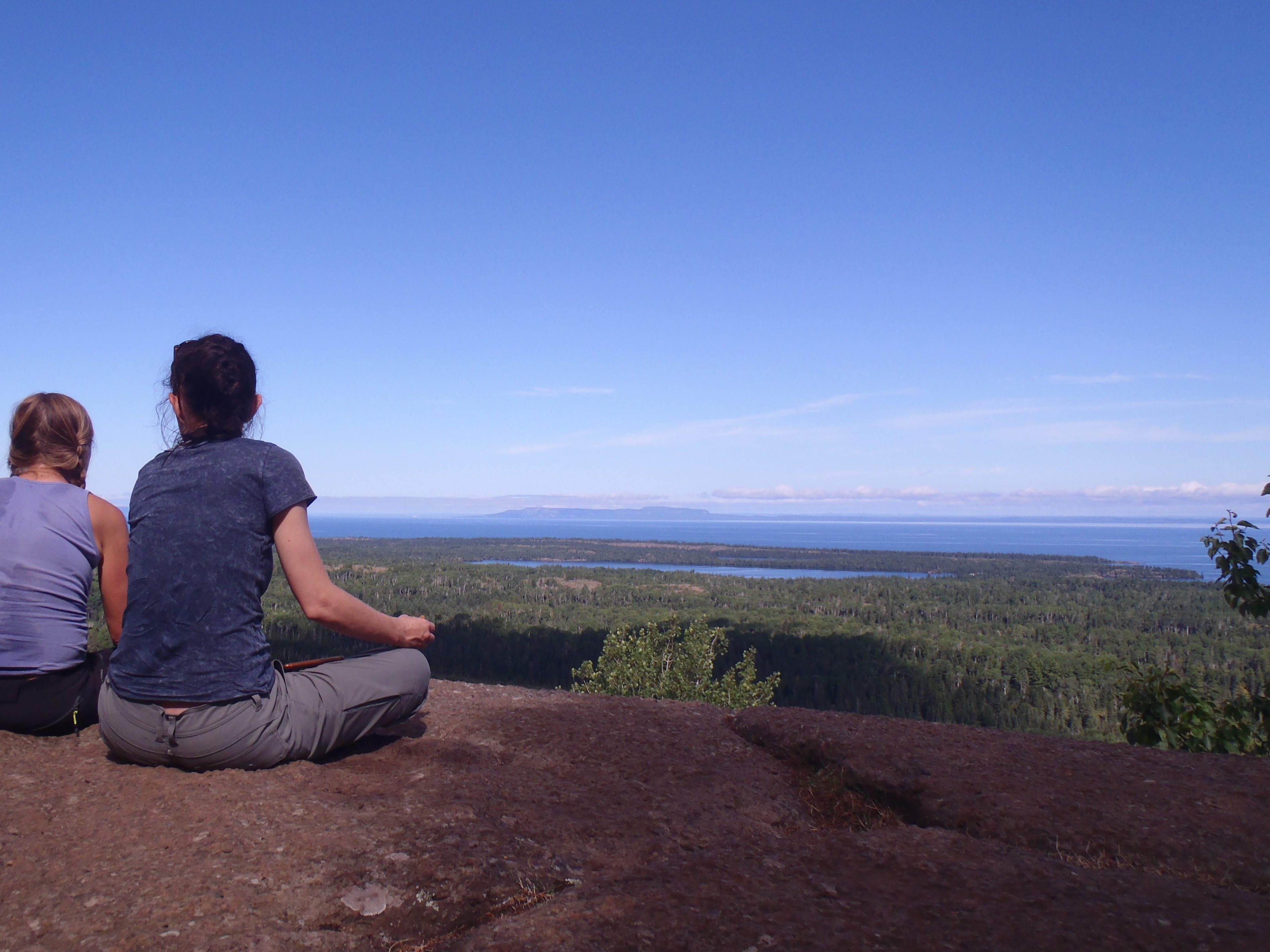
The Mount Franklin Trail connects the scenic overlook at Mount Franklin to the Tobin Harbor Trail junction and eventually Three Mile Campground to the south. This trail has a steep gradient. At the northern point of this trail is the junction with the Greenstone Ridge Trail and the Lane Cove Trail. Backpackers often use this trail to climb off the Greenstone Ridge and hike into Rock Harbor via the Tobin Harbor Trail or Rock Harbor Trails.
Found Nearby
Rock Harbor
Three Mile Campground
Lane Cove Campground
Rock Harbor Campground
Daisy Farm Campground
Accessibility The trail is 18 inches wide and covered in rocks and roots.
Hike the Tobin Harbor Trail the Park Service's write-up
2-4 Hours · no dogs · Spring, Summer, Fall
Start Tobin Harbor Trail at Isle Royale National Park
About this Trail
Mileage: About 3 miles
Rocks and roots on trail
Trailheads
Rock Harbor
Windigo via Greenstone Ridge Trail
The Tobin Harbor Trail connects the Rock Harbor area with the Mount Franklin Trail. The Mount Franklin Trail gives access to Mount Franklin, Suzy's Cave, Three Mile Campground, Lane Cove Campground, and the Greenstone Ridge Trail. Some backpackers and day hikers prefer the Tobin Harbor Trail over the Rock Harbor Trail because of the Tobin Harbor Trail's smoothness and gentle grade.
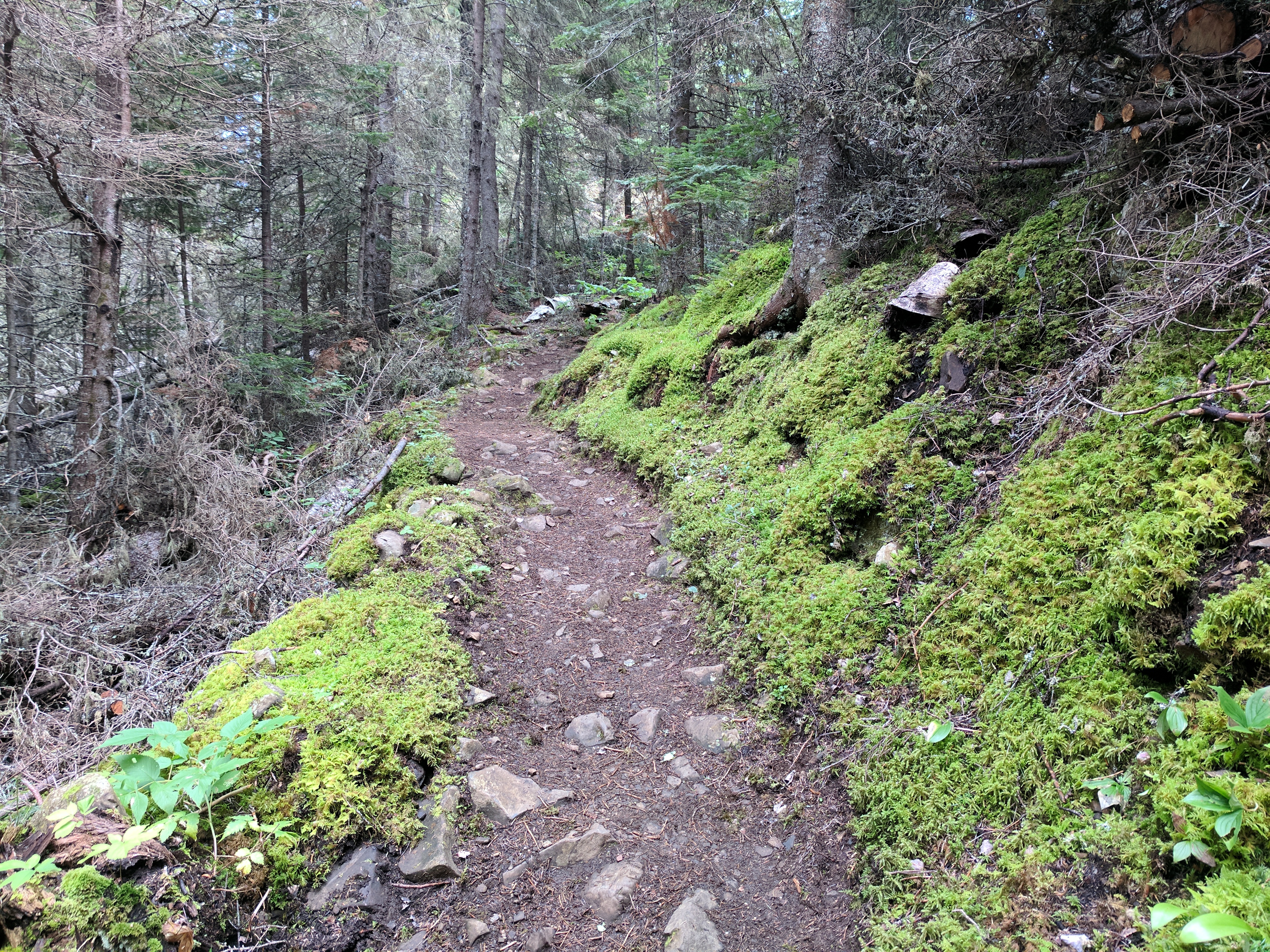
At the junction with the Mount Franklin Trail the Tobin Harbor Trail winds gently downhill through boreal forest until it meets Tobin Harbor. The remainder of the trail continues on a general downward slope hugging Tobin Harbor. This trail ends near the Rock Harbor Lodge in the Rock Harbor area.
Found Nearby
Rock Harbor
Rock Harbor Campground
Three Mile Campground
Suzy's Cave
Mount Franklin
Lane Cove Campground
Accessibility The trail is about 18 inches wide and is not paved. The trail is covered in rocks and roots.
Mount Ojibway Trail
Campgrounds
Along the way Daisy Farm
Hike the Mount Ojibway Trail the Park Service's write-up
1-3 Hours · no dogs · Spring, Summer, Fall
Start Mount Ojibway Trail at Isle Royale National Park
About this Trail
Mileage: About 1.7 miles
Rocks and roots on trail
Changing trail conditions require a map, compass, and navigation skills
Trailheads
Rock Harbor
Daisy Farm
Via Rock Harbor Trail, private boat, rental boat, water taxi, or Voyageur II passenger ferry
Reservations are needed in advanced for a rental boat, water taxi, or Voyageur II
Windigo via Greenstone Ridge Trail
The Mount Ojibway Trail connects Daisy Farm Campground to Mount Ojibway, located on the Greenstone Ridge. The trail steeply ascends to the Greenstone Ridge. The Ojibway Tower sits on Mount Ojibway. Hikers can climb part way up the tower and enjoy scenic views of the island's eastern end on a clear day.
Adventure for the Day
Rent a vessel from the Rock Harbor Lodge , dock at the Daisy Farm Dock, and day hike near Daisy Farm. Hike the Daisy Farm Triangle (about 5.1 miles total) which includes the Daisy Farm Trail, Mount Ojibway Trail, and a section of the Greenstone Ridge Trail. Make sure to bring day hiking essentials.
Found Nearby
Daisy Farm Campground
Ojibway Tower
Mount Ojibway
Mount Franklin
East Chickenbone Campground
Lane Cove Campground
Moskey Basin Campground
Three Mile Campground
Accessibility The trail is about 18 inches wide and is covered in rocks and roots.
Mount Ojibway Trail, Rock Harbor Trail
Campgrounds
Along the way Daisy Farm
North Lake Desor Access Trail
Campgrounds
Along the way N. Lake Desor
Passage Island Trail
Boat launches
Along the way Passage Island
Portage
Campgrounds
Along the way Intermediate Lake
Rainbow Cove Trail
Campgrounds
Along the way Feldtmann Lake
Raspberry Island Trail
Boat launches
Along the way Raspberry Island
Explore Raspberry Island the Park Service's write-up
2-6 Hours · no dogs · Spring, Summer, Fall
Start Raspberry Island
About this Trail
Mileage: About 1 mile
Rocks and roots on trail
Boardwalks slippery when wet
Trailhead
Raspberry Island Dock
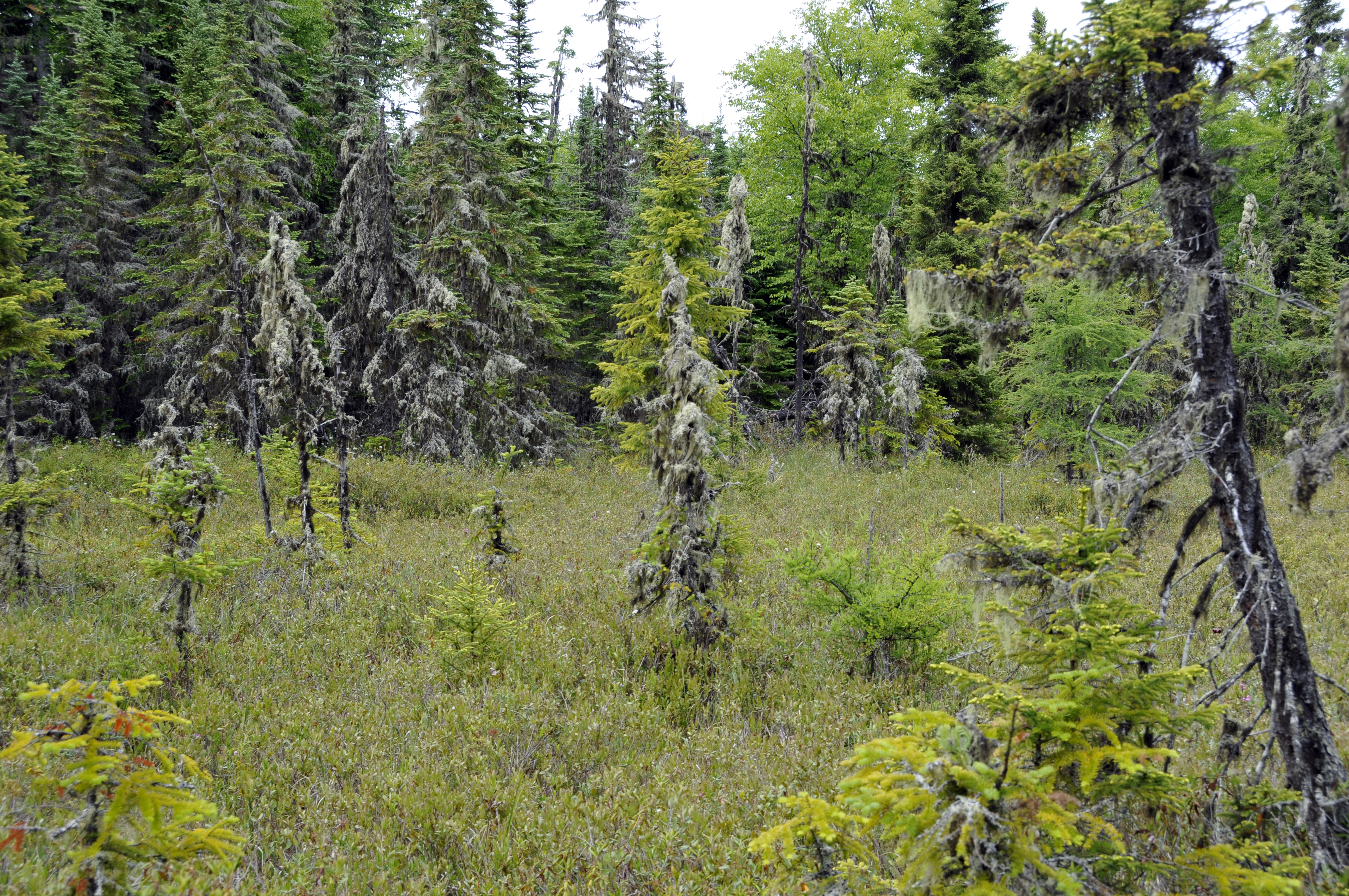
Raspberry Island is just a short canoe or boat ride away from Rock Harbor on the east end of Isle Royale National Park. Venture across the Rock Harbor channel to explore the boreal forest, a fragile bog, and scenic rocky shores. Paths and planked bridges lead past many unusual plants; including the insect-eating sundew and pitcher plants that thrive in the acidic bog environment. Interpretive signs along the route explain the ecology of this island’s rich and varied plant life and the geologic origins of its rugged shores. Take your time and you will discover enough variety on this island to keep you intrigued for half a day. Raspberry Island is accessible by Rock Harbor Lodge tours , private vessel, or watercraft rental from Rock Harbor Marina . Rental and tour fees vary.
Found Nearby
Rock Harbor
Rock Harbor Lodge
Rock Harbor Marina
Accessibility Raspberry Island is accessible by private boat, vessel rental, or tour on the MV Sandy . Docking is available for private boats. A small canoe/kayak landing is available. Trails on Raspberry Island are 18 inches wide and unpaved. Boardwalks are also 18 inches wide. Boardwalks may have water on them, tread carefully.
Rock Harbor Trail
CampgroundsVisitor centersBoat launches
Along the way Three Mile Daisy Farm Rock Harbor Three Mile Rock Harbor Visitor Center
Explore Raspberry Island the Park Service's write-up
2-6 Hours · no dogs · Spring, Summer, Fall
Start Raspberry Island
About this Trail
Mileage: About 1 mile
Rocks and roots on trail
Boardwalks slippery when wet
Trailhead
Raspberry Island Dock
Raspberry Island is just a short canoe or boat ride away from Rock Harbor on the east end of Isle Royale National Park. Venture across the Rock Harbor channel to explore the boreal forest, a fragile bog, and scenic rocky shores. Paths and planked bridges lead past many unusual plants; including the insect-eating sundew and pitcher plants that thrive in the acidic bog environment. Interpretive signs along the route explain the ecology of this island’s rich and varied plant life and the geologic origins of its rugged shores. Take your time and you will discover enough variety on this island to keep you intrigued for half a day. Raspberry Island is accessible by Rock Harbor Lodge tours , private vessel, or watercraft rental from Rock Harbor Marina . Rental and tour fees vary.
Found Nearby
Rock Harbor
Rock Harbor Lodge
Rock Harbor Marina
Accessibility Raspberry Island is accessible by private boat, vessel rental, or tour on the MV Sandy . Docking is available for private boats. A small canoe/kayak landing is available. Trails on Raspberry Island are 18 inches wide and unpaved. Boardwalks are also 18 inches wide. Boardwalks may have water on them, tread carefully.
Hike the Tobin Harbor Trail the Park Service's write-up
2-4 Hours · no dogs · Spring, Summer, Fall
Start Tobin Harbor Trail at Isle Royale National Park
About this Trail
Mileage: About 3 miles
Rocks and roots on trail
Trailheads
Rock Harbor
Windigo via Greenstone Ridge Trail
The Tobin Harbor Trail connects the Rock Harbor area with the Mount Franklin Trail. The Mount Franklin Trail gives access to Mount Franklin, Suzy's Cave, Three Mile Campground, Lane Cove Campground, and the Greenstone Ridge Trail. Some backpackers and day hikers prefer the Tobin Harbor Trail over the Rock Harbor Trail because of the Tobin Harbor Trail's smoothness and gentle grade.
At the junction with the Mount Franklin Trail the Tobin Harbor Trail winds gently downhill through boreal forest until it meets Tobin Harbor. The remainder of the trail continues on a general downward slope hugging Tobin Harbor. This trail ends near the Rock Harbor Lodge in the Rock Harbor area.
Found Nearby
Rock Harbor
Rock Harbor Campground
Three Mile Campground
Suzy's Cave
Mount Franklin
Lane Cove Campground
Accessibility The trail is about 18 inches wide and is not paved. The trail is covered in rocks and roots.
Hike to Suzy's Cave the Park Service's write-up
2-6 Hours · no dogs · Spring, Summer, Fall
Start Suzy's Cave
About this Hike
Mileage: about 3.8 miles (via Rock Harbor and Tobin Harbor Trails)
Rocks and roots on trail
Trailheads
Rock Harbor
Windigo via Greenstone Ridge Trail
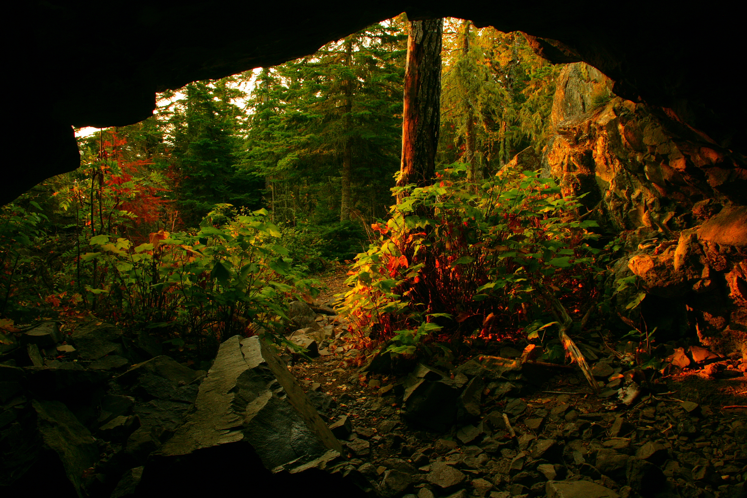
Spend a day exploring Suzy's Cave on Isle Royale National Park. Follow the Rock Harbor Trail 1.8 miles beyond the Rock Harbor Campground and turn inland at the wooden post directing you to Suzy’s Cave . Discover an inland sea arch, formed by wave action some 4000 years ago when lake water levels were higher. From here the trail leads on to the gentler Tobin Harbor Trail, which loops back to Rock Harbor . As you meander through a thick canopy of spruce, fir, and birch, watch moose and other wildlife.
Found Nearby
Rock Harbor
Rock Harbor Campground
Three Mile Campground
Rock Harbor Lodge
Accessibility The trail is about 18 inches wide and is not paved. The trail is covered in rocks and roots. Choose your own adventure: the Rock Harbor Trail is significantly more challenging than the Tobin Harbor Trail.
Siskiwit Bay Access Trail
Campgrounds
Along the way Siskiwit Bay
South Lake Desor Access Trail
Stoll Trail
Stoll Memorial Trail (Scoville Point) the Park Service's write-up
1-6 Hours · no dogs · Summer
Start Rock Harbor Area
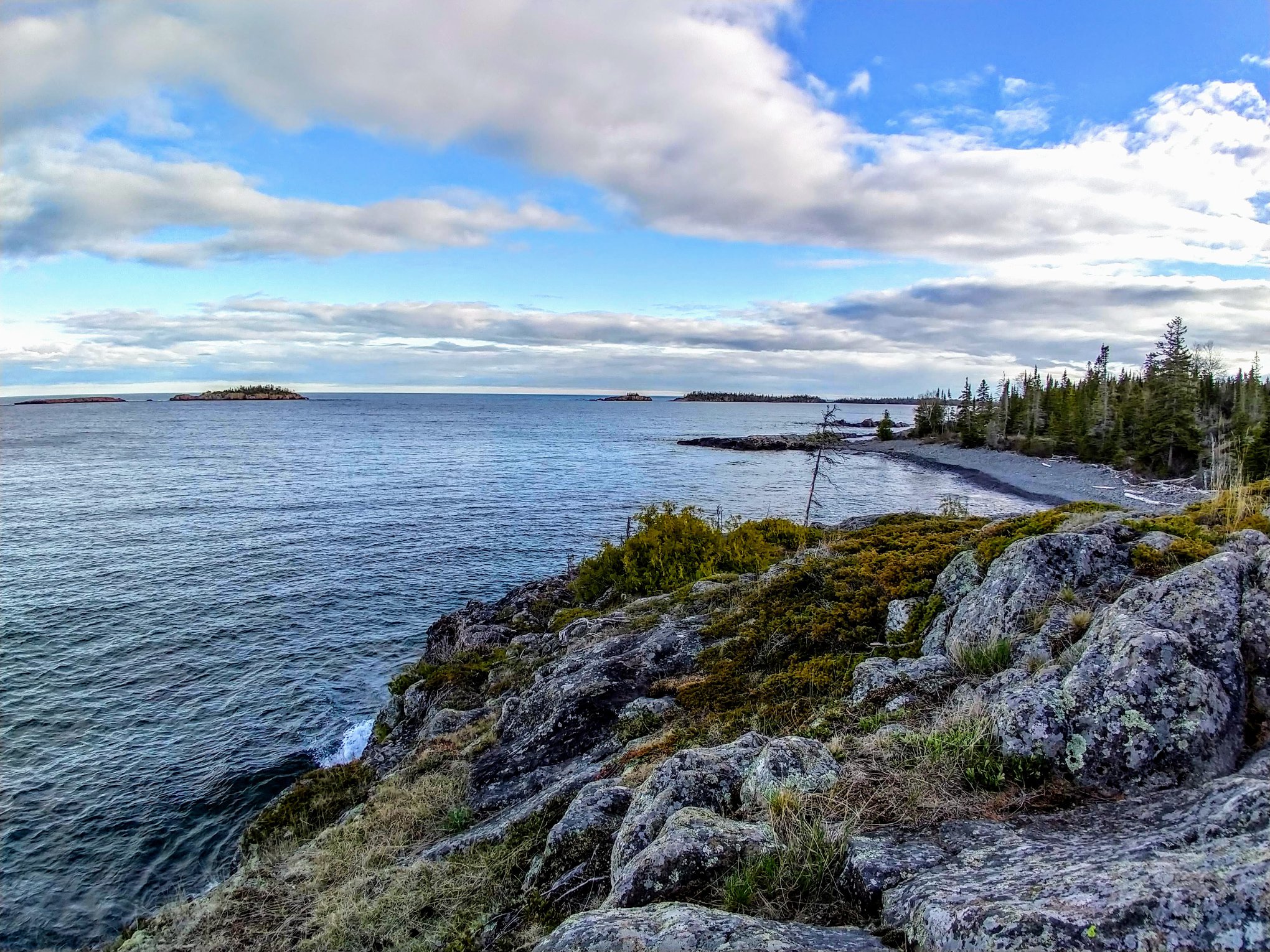
This figure eight shaped trail offers the experience of a primarily wooded setting on the Tobin Harbor side, and a rocky, exposed setting on the Rock Harbor side. At the end of the trail, both paths converge for the last half mile to ascend the rocky face of Scoville Point. Two return loops alow great versatility regarding the length and duration.
Trailheads: The Rock Harbor section starts at the trailhead just past the Rock Harbor Recreation Hall and the Rock Harbor Lodge Ojibway building. The Tobin Harbor section starts at the sign pointing to 'Smithwick Mine' behind the Rock Harbor Audtorium.
Pets ADA service dogs are welcome on Isle Royale. For each visit to the park, you must have an approved veterinary certificate on file with the park before your service dog may be brought within Isle Royale National Park boundaries (which extend 4.5 miles from the archipelago shoreline into Lake Superior).
Accessibility Trail is composed of footpaths and elevated boardwalks that require steps to access. There are also steps carved into the rock formation at the end of the trail that can be moderately difficult to climb, and a steep slope down to a bridge close to the trailhead on the Rock Harbor side. Overall, the Tobin Harbor sides of the trail are relatively smooth, while the Rock Harbor sides are rocky and more difficult to maintain footing.
Tobin Harbor Access Trail
Visitor centers
Along the way Rock Harbor Visitor Center
Tobin Harbor Cutoff Trail
Tobin Harbor Trail
Hike the Tobin Harbor Trail the Park Service's write-up
2-4 Hours · no dogs · Spring, Summer, Fall
Start Tobin Harbor Trail at Isle Royale National Park
About this Trail
Mileage: About 3 miles
Rocks and roots on trail
Trailheads
Rock Harbor
Windigo via Greenstone Ridge Trail
The Tobin Harbor Trail connects the Rock Harbor area with the Mount Franklin Trail. The Mount Franklin Trail gives access to Mount Franklin, Suzy's Cave, Three Mile Campground, Lane Cove Campground, and the Greenstone Ridge Trail. Some backpackers and day hikers prefer the Tobin Harbor Trail over the Rock Harbor Trail because of the Tobin Harbor Trail's smoothness and gentle grade.
At the junction with the Mount Franklin Trail the Tobin Harbor Trail winds gently downhill through boreal forest until it meets Tobin Harbor. The remainder of the trail continues on a general downward slope hugging Tobin Harbor. This trail ends near the Rock Harbor Lodge in the Rock Harbor area.
Found Nearby
Rock Harbor
Rock Harbor Campground
Three Mile Campground
Suzy's Cave
Mount Franklin
Lane Cove Campground
Accessibility The trail is about 18 inches wide and is not paved. The trail is covered in rocks and roots.
Todd Harbor Access Trail
Campgrounds
Along the way Todd Harbor
West Huginnin Cove Trail
Campgrounds
Along the way Huginnin Cove
Windigo Nature Trail
Visitor centers
Along the way Windigo Visitor Center
Walk the Windigo Nature Trail the Park Service's write-up
1-2 Hours · no dogs · Spring, Summer, Fall
Start Windigo Nature Trail at Isle Royale National Park
About this Trail
Mileage: About 1.2 miles
Rocks and roots on trail
Boardwalks slippery when wet
Trailheads
Windigo
Feldtmann Lake Trail
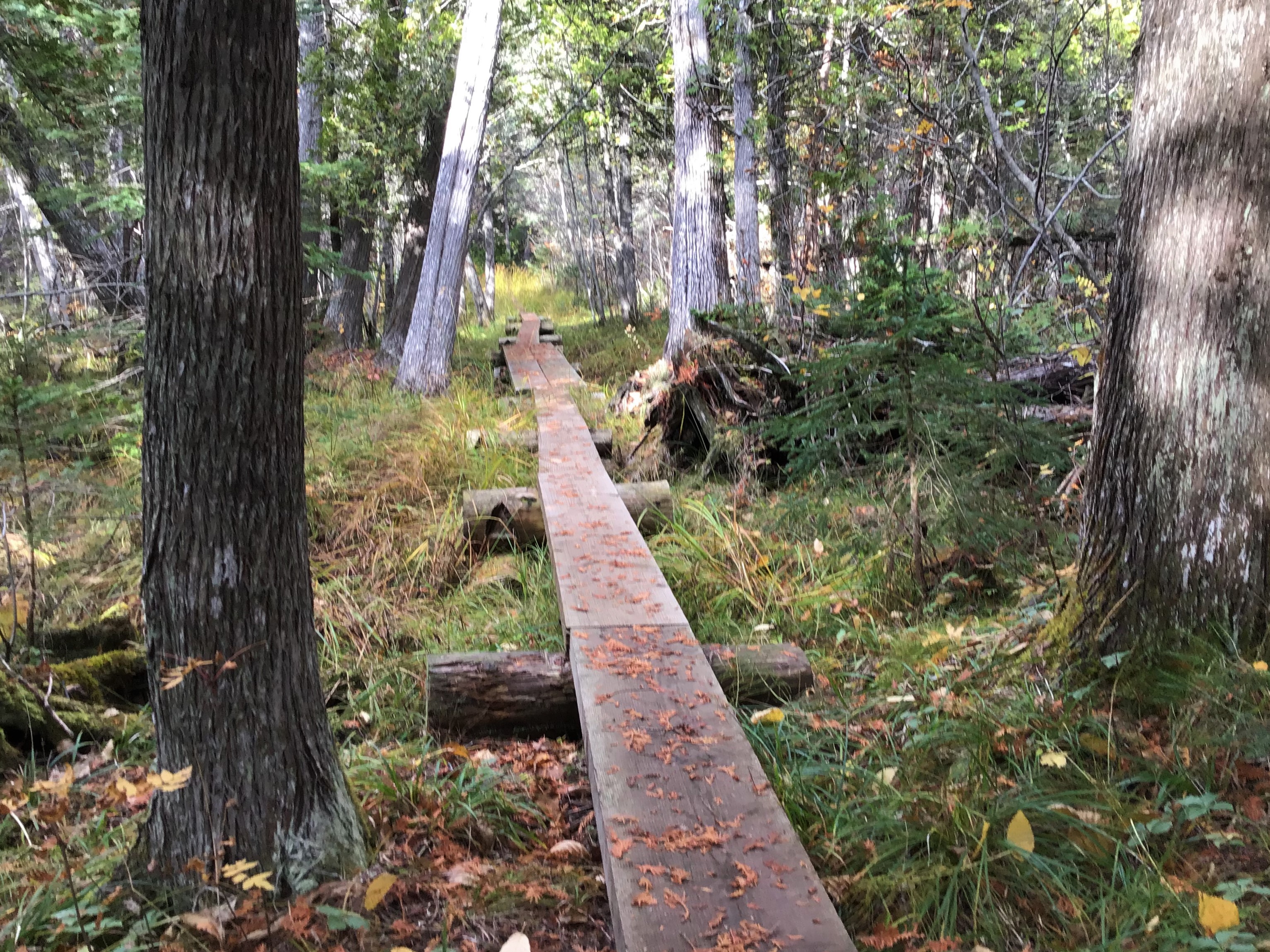
Explore the varied forest environments of Windigo as you stroll along this gently rolling trail. Traverse fern-filled cedar lowlands, wanter through hard wood forests of maple and birch and watch for evidence of wildlife in the boreal forest. Pick up a trail guide at the Visitor Center to deepen your understanding of this diverse area. The trail begins up the hill past the Visitor Center.
Found Nearby
Windigo
Windigo Marina
Windigo Store
Washington Creek Campground
Huginnin Cove Campground
Grace Creek Overlook
Minong Ridge Overlook
Accessibility The trail is 18 inches wide and covered in rocks and roots.
About these trails
The lines are the National Park Service's public trails layer, the trailheads and the waterfalls, views, peaks and historic places along them the Service's public points of interest, read 2026-10-14 and simplified for the map. The write-ups are the Service's own "things to do", unedited. Heights come from USGS 3DEP through Terrain Tiles on AWS (Mapzen/Tilezen), read along each line and rounded; a short trail on steep ground can be off by a few tens of feet. Closures change: check the park's own site before you go.