
Death Canyon Trail
Trailhead Death Canyon Trailhead 6,780 ft Drive there
Death Canyon - Static Peak Divide Junction the Park Service's write-up
4-6 Hours · no dogs · Summer, Fall · season Death Canyon is best accessed in summer after the snow melts and in fall before the first snow arrives. Hikers should use caution when traveling over snow and not attempt Death Canyon unless they have previous snow experience and the proper equipment.
Start Death Canyon Trailhead
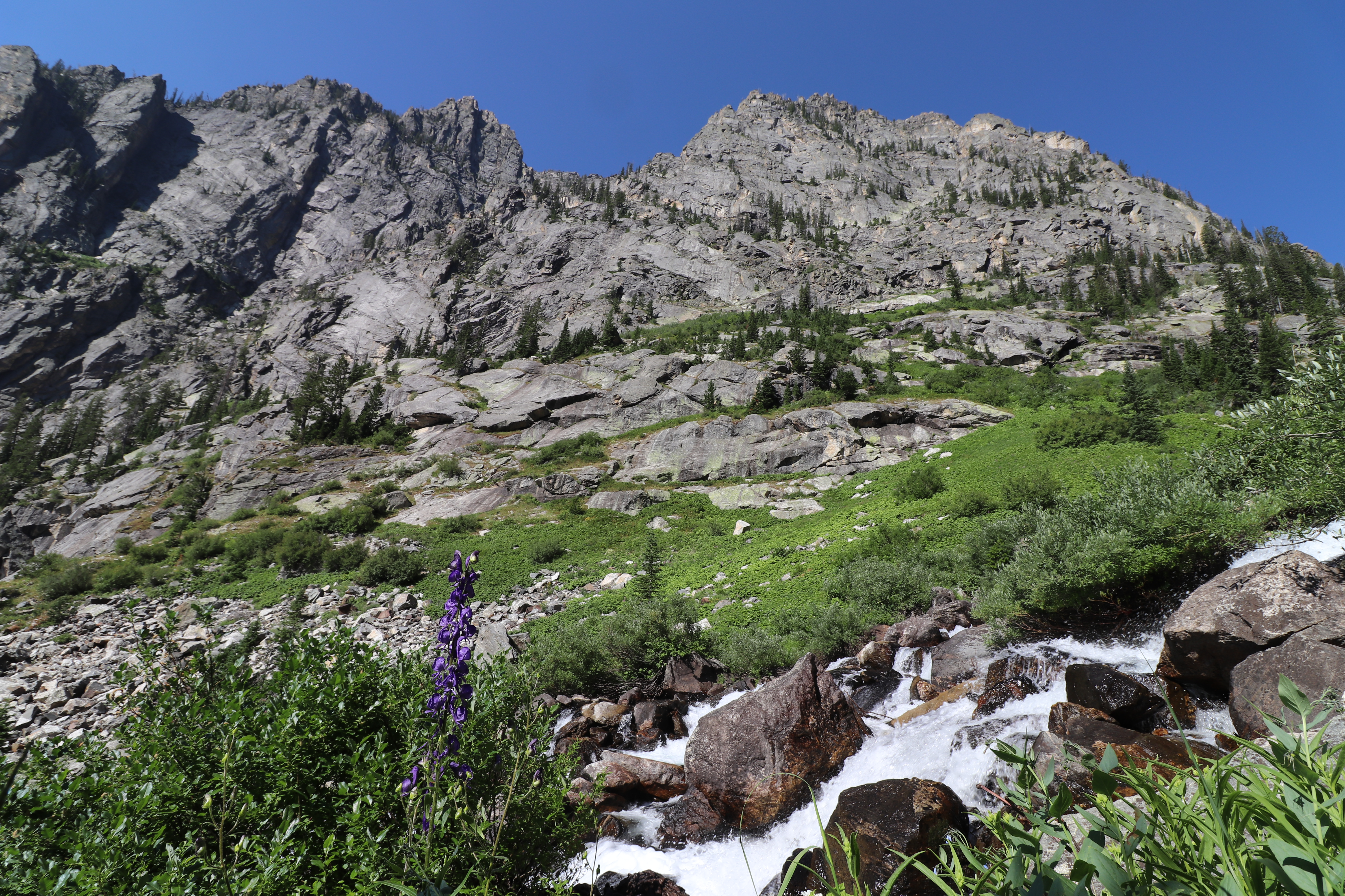
Head into Death Canyon for spectacular views of Phelps Lake and the surrounding peaks. Starting from the Death Canyon Trailhead, hikers will climb to the Phelps Lake Overlook before dropping down to Phelps Lake and then climbing back up into Death Canyon. The trail winds through forests and up rocky slopes before reaching the patrol cabin. From there, hikers have the option to continue into the canyon, split off to the Static Peak Divide Trail, or head back to the trailhead. In spring and early summer the trail is often covered with snow and can be dangerous without experience and the proper equipment. Check conditions at a visitor center before attempting the trail early in the season.
Accessibility The Death Canyon to Static Peak Divide Junction Trail is a strenuous, 7.7 mi (12.4 km) RT out and back trail with 2,400 ft (730 m) of elevation gain and an average slope of 15%. The trail has numerous rocks and small boulders in the pathway.
Phelps Lake Loop the Park Service's write-up
3-5 Hours · no dogs · Spring, Summer, Fall
Start Laurance S. Rockefeller Preserve
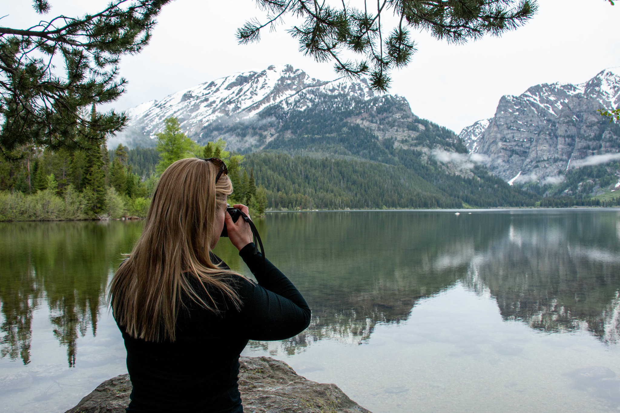
This moderate loop hike provides access to Phelps Lake as well as views into Death Canyon and the southern end of the Teton Range. Start the trail from the Laurance S. Rockefeller Preserve and follow the trail as it loops Phelps Lake. Those looking to extend the hike can add the Aspen Ridge or Boulder Ridge trails on the way to and from the lake.
Accessibility The Phelps Lake Loop Trail is a moderate, 6.4 mi (10.3 km) RT loop hike with 1,060 ft (323 m) of elevation gain with an average slope of 7%. The trail features mild elevation gain, several bridge crossings, and other trail obstacles, such as exposed roots and rocks.