26 named trails · 11 miles · 1 with the Park Service's own write-up. The lines, trailheads and points are the Park Service's; the write-ups are the Service's own words; the climbing is read from USGS elevation along each line.
1.1 mi one way · about 150 ft of climbing · 119 ft–267 ft · native surface · bike, hiking, horse
History
Along the wayAnderson House (Matildaville)Dickey's Barn (Matildaville)Dickey's Inn (Matildaville)House Foundation (Matildaville)Ice House (Matildaville)Lower Guard GateMatildaville (ruins)Spring House (Matildaville)Storehouse Ruins (Matildaville)Superintendent's House (Matildaville)
2.3 mi one way · about 150 ft of climbing · 200 ft of descent · 142 ft–279 ft · native surface · bike, hiking, horse
ExhibitsVisitor centers
Along the wayHigh Watermarks ExhibitGreat Falls Park Visitor Center
Soak Up Spectacular Views at the Great Falls Overlooks the Park Service's write-up
1-2 Hours · dogs allowed · entrance fee applies
Start Great Falls Park
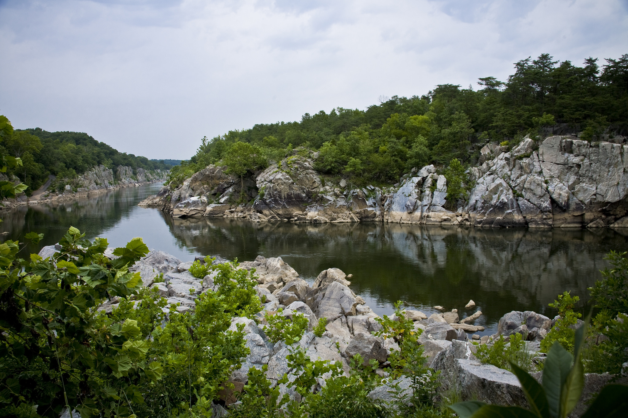
Just 15 miles from the Nation's Capital, Great Falls Park provides an abundance of outdoor activies. Explore the park through binoculars or a camera lens and walk a section of the Potomac Heritage National Scenic Trail!
Head to the overlooks behind the visitor center to view Great Falls.
Great Falls Park has many opportunities to explore history and nature, all in a beautiful 800-acre park.
Accessibility Accessible parking is available in the main parking lot. The unloading zone by the main picnic area has an accessible ramp. Overlooks Two and Three are fully accessible, as is the Patowmack Canal Trail to the Holding Basin and the guard gate. The exhibits, programs, and slide presentations on the upper floor of the Visitor Center are reached via a ramp on either end of the building. There is one wheelchair available in the visitor center for loan, free of charge, on a first come, first serve basis. If you have any questions, please contact the park at 703-285-2965.
1.5 mi one way · 10 ft of descent · 133 ft–151 ft · native surface · hiking
HistoryExhibitsVisitor centers
Along the wayHigh Watermarks ExhibitAnderson House (Matildaville)Dickey's Barn (Matildaville)Dickey's Inn (Matildaville)Lower Guard GateMatildaville (ruins)Spring House (Matildaville)Storehouse Ruins (Matildaville)Superintendent's House (Matildaville)Great Falls Park Visitor Center
Write-ups that name no single mapped trail, in the Service's words.
Hike Algonkian Regional Park to Difficult Run · 3-6 Hours · dogs allowed This hike is mostly wooded; some parts are rocky and some can be rocky. But you will see, in some places, exceptional displays of bluebells in spring and colors in autumn. Management partners include Loudoun County Department of Parks, Recreation and Community Services; Northern Virginia Regional Park Authority; The Nature Conservancy; Fairfax County Park Authority; and National Park Service, all are aided by volunteers with the Potomac Heritage Trail Association and others.
About these trails
The lines are the National Park Service's public trails layer, the trailheads and the waterfalls, views, peaks and historic places along them the Service's public points of interest, read 2026-10-14 and simplified for the map. The write-ups are the Service's own "things to do", unedited. Heights come from USGS 3DEP through Terrain Tiles on AWS (Mapzen/Tilezen), read along each line and rounded; a short trail on steep ground can be off by a few tens of feet. Closures change: check the park's own site before you go.