
National Monument · Georgia
Trails in Fort Frederica National Monument
3 named trails · 1 miles · 1 with the Park Service's own write-up. The lines, trailheads and points are the Park Service's; the write-ups are the Service's own words; the climbing is read from USGS elevation along each line.
3 trails, A to Z.
Broad Street
Visitor centers
Along the way Fort Frederica Visitor Center
Trail
Hike a Nature Trail the Park Service's write-up
dogs allowed
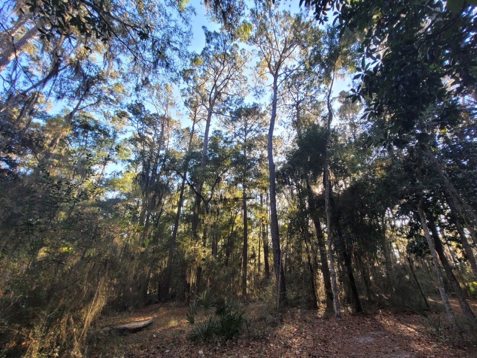
History buffs and nature-seekers alike can find their slice of the Frederica pie. A few miles of nature trails surround the town site and provide the opportunity to stretch your legs. Hike through a maritime forest with mix of oak, pine, and palmetto. Numbered posts identify plant species and other natural features. Be sure to pick up a Nature Trail brochure at the visitor center or trailhead to follow along. The first marked post is located near the fort at the end of Broad Street. Before entering the fort, turn left, and follow the Frederica River heading south.
Bring your pet with you on your nature walk. Just be sure to have them leashed and pick up after them. Doggy bags are located on the park grounds.
Fort Frederica's grounds and trail network are open from sunrise to sunset. The visitor center parking lot, however, is open from 9:00 AM to 5:00 PM. A trailhead on Stevens Road provides access to Fort Frederica's trail network as well. Pick up a park map and nature trail brochure here and begin your exploration of the grounds.
Accessibility Nature trails at Fort Frederica National Monument vary in surface from grass, sand, or dirt. There may be exposed tree roots along the trails.
About these trails
The lines are the National Park Service's public trails layer, the trailheads and the waterfalls, views, peaks and historic places along them the Service's public points of interest, read 2026-10-14 and simplified for the map. The write-ups are the Service's own "things to do", unedited. Heights come from USGS 3DEP through Terrain Tiles on AWS (Mapzen/Tilezen), read along each line and rounded; a short trail on steep ground can be off by a few tens of feet. Closures change: check the park's own site before you go.