
National Historic Site · New York
Trails in Eleanor Roosevelt National Historic Site
4 named trails · 2 miles · 1 trailhead · 2 with the Park Service's own write-up. The lines, trailheads and points are the Park Service's; the write-ups are the Service's own words; the climbing is read from USGS elevation along each line.
4 trails, A to Z.
Eleanor's Walk
Eleanor's Walk the Park Service's write-up
1 Hour · dogs allowed
Start Eleanor's Walk
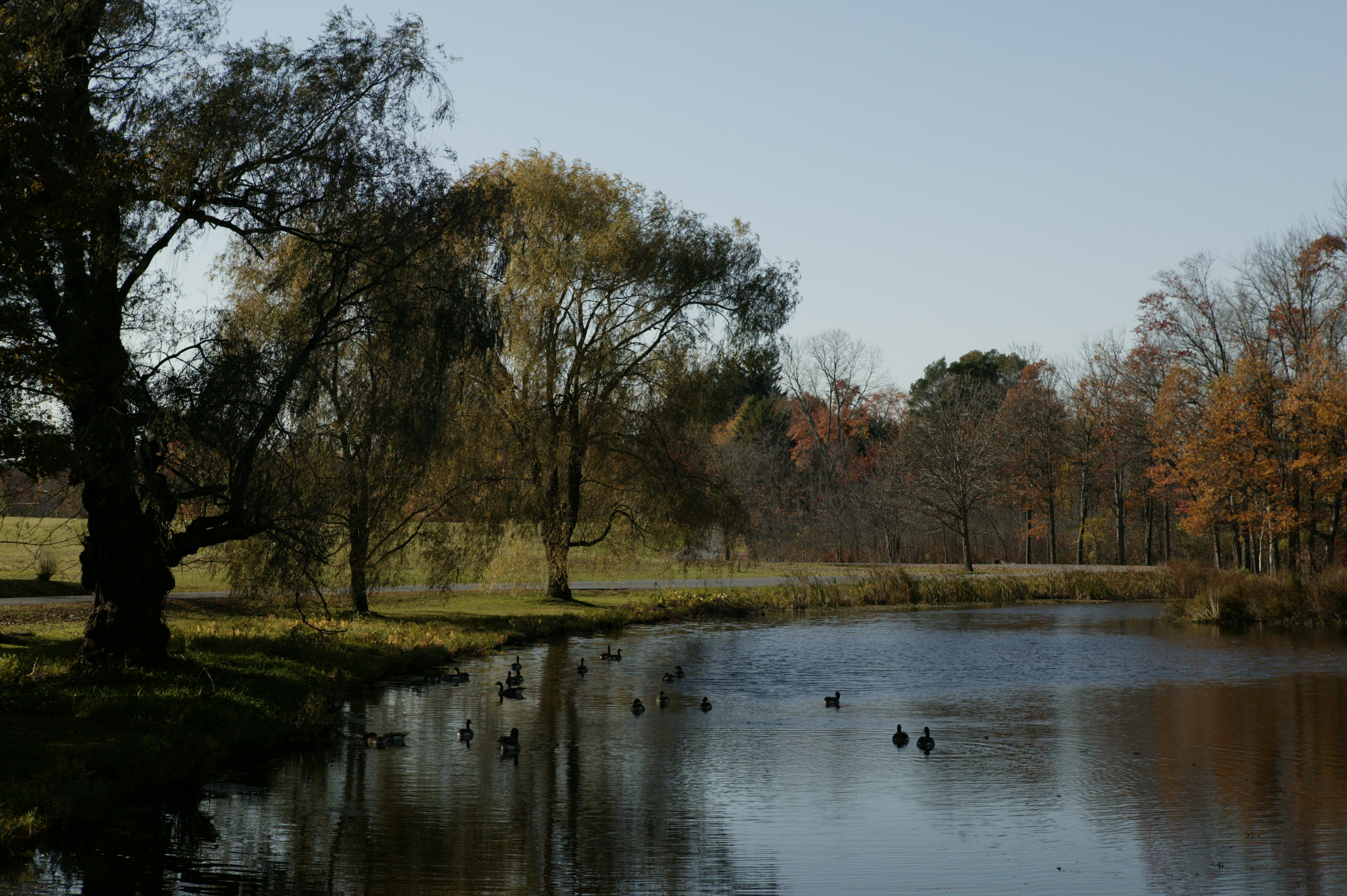
Length: 1 mile
Difficulty: Moderate
Blaze: Green and white Hyde Park Trail Marker
Trailhead Location: Trailhead is located south of the historic core. Once you cross the bridge from the main parking lot, follow the road that forks to the right. From there, the trail is straight ahead.
Terrain : Moderate walking on woodland paths with some steep hills on both Eleanor's Walk.
Summary : The trail follows a road built by FDR in 1940. Follow the red paint blazes.
History : Get to know Eleanor Roosevelt—wife, mother, and grandmother; Hyde Park neighbor, activist, and diplomat—as you hike the paths she walked daily for recreation and quiet contemplation. See the historic buildings that hosted family gatherings as well as powerful dialog among national leaders. Explore the woodland trails that inspired many of Eleanor’s famous My Day columns.
Trail map available here .
Rules & Regulations
Safety first!
Trail is open daily sunrise to sunset.
Bikes are not permitted on any trails at this site.
Garbage cans are not available. This is a Carry In,Carry Out trail.
Stay on marked trails only.
Hunting, trapping, or possession of firearms prohibited.
No Fires, camping, or swimming.
Pets must be leashed; You must clean up after your pet.
Removal or disturbance of flora, fauna, or cultural resources is strictly prohibited.
Motorized vehicles prohibited.
In Case of Emergency Call 911
Report Safety & Security Issues to (845) 229-9380
Report Trail Maintenance Issues to (845) 229-1521
Accessibility Path is unpaved earth. Moderate walking on woodland paths with some steep hills on both Eleanor's Walk.
Hyde Park Trail
Visitor centersBridges
Along the way Bridge Stone Cottage
Trailhead Trailhead 221 ft Drive there
Eleanor's Walk the Park Service's write-up
1 Hour · dogs allowed
Start Eleanor's Walk
Length: 1 mile
Difficulty: Moderate
Blaze: Green and white Hyde Park Trail Marker
Trailhead Location: Trailhead is located south of the historic core. Once you cross the bridge from the main parking lot, follow the road that forks to the right. From there, the trail is straight ahead.
Terrain : Moderate walking on woodland paths with some steep hills on both Eleanor's Walk.
Summary : The trail follows a road built by FDR in 1940. Follow the red paint blazes.
History : Get to know Eleanor Roosevelt—wife, mother, and grandmother; Hyde Park neighbor, activist, and diplomat—as you hike the paths she walked daily for recreation and quiet contemplation. See the historic buildings that hosted family gatherings as well as powerful dialog among national leaders. Explore the woodland trails that inspired many of Eleanor’s famous My Day columns.
Trail map available here .
Rules & Regulations
Safety first!
Trail is open daily sunrise to sunset.
Bikes are not permitted on any trails at this site.
Garbage cans are not available. This is a Carry In,Carry Out trail.
Stay on marked trails only.
Hunting, trapping, or possession of firearms prohibited.
No Fires, camping, or swimming.
Pets must be leashed; You must clean up after your pet.
Removal or disturbance of flora, fauna, or cultural resources is strictly prohibited.
Motorized vehicles prohibited.
In Case of Emergency Call 911
Report Safety & Security Issues to (845) 229-9380
Report Trail Maintenance Issues to (845) 229-1521
Accessibility Path is unpaved earth. Moderate walking on woodland paths with some steep hills on both Eleanor's Walk.
Top Cottage Trail the Park Service's write-up
1-2 Hours · dogs allowed
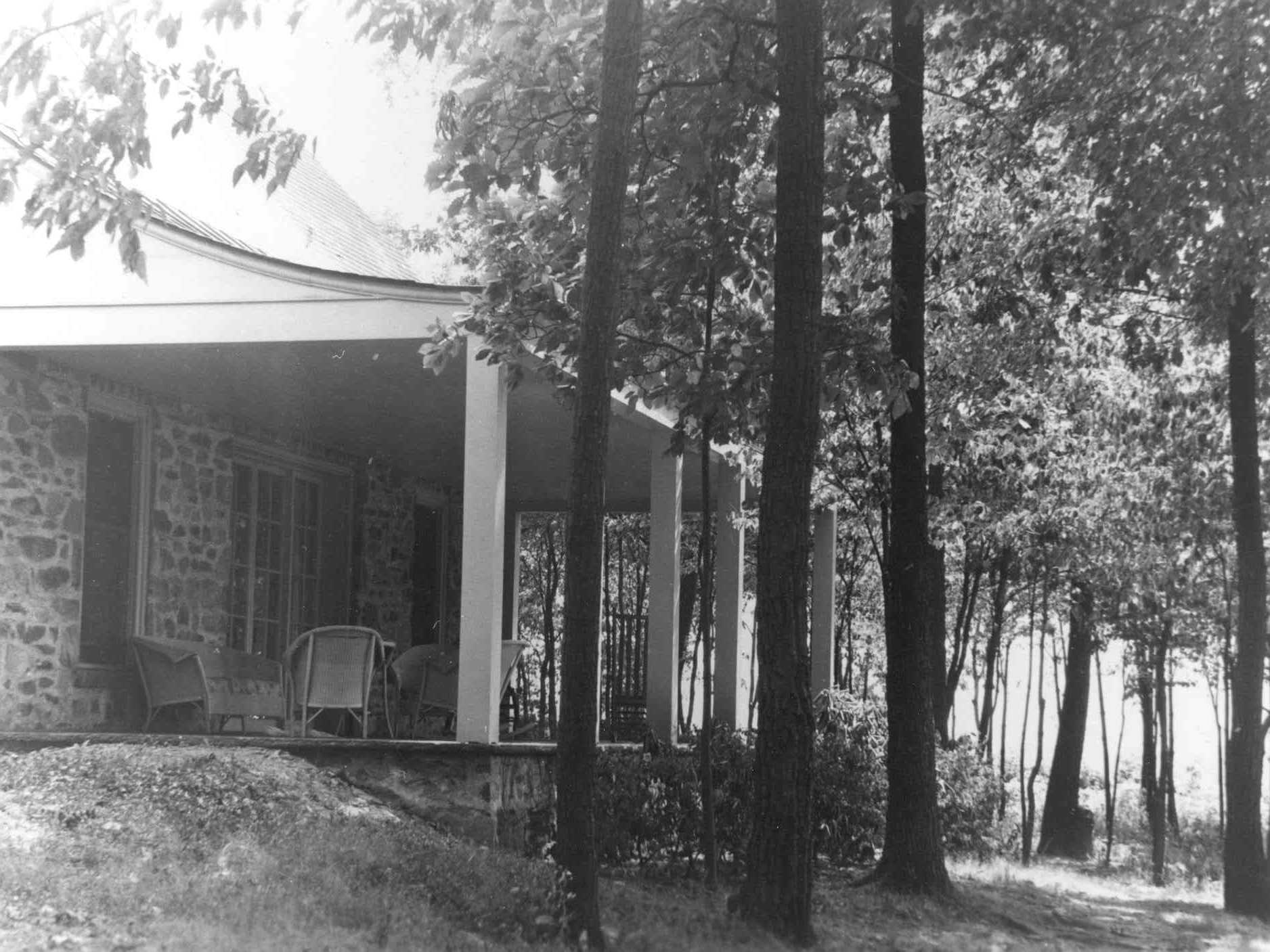
Length: 2 miles, round-trip
Difficulty: Moderate
Blaze: Green and white Hyde Park Trail Marker
Trailhead Location: Trailhead is located south of the historic core, beyond the access road to the parking lot.
Terrain : Moderate walking on woodland paths with some steep hills and rough surface in spots.
Summary : The trail follows a road built by FDR in 1940. Follow the Hyde Park Trail blazes (green leaf).
History : This trail takes you to the highest point on the Hyde Park Trails. When you reach the summit, you will have made the same climb that kings and queens and a host of foreign leaders made during some of the most critical days of the 20 th century. Top Cottage, FDR’s humble hilltop getaway hosted pivotal meetings that shaped world history. It also provided guests with a dramatic vantage point from which to view the natural beauty of the Hudson River Valley, FDR’s cherished home.
Trail map available here .
Rules & Regulations
Safety first!
Trail is open daily sunrise to sunset.
Bikes are not permitted on any trails at this site.
Garbage cans are not available. This is a Carry In,Carry Out trail.
Stay on marked trails only.
Hunting, trapping, or possession of firearms prohibited.
No Fires, camping, or swimming.
Pets must be leashed; You must clean up after your pet.
Removal or disturbance of flora, fauna, or cultural resources is strictly prohibited.
Motorized vehicles prohibited.
In Case of Emergency Call 911
Report Safety & Security Issues to (845) 229-9380
Report Trail Maintenance Issues to (845) 972-2268
Accessibility Moderate walking on woodland paths with some steep hills and rough surface in spots.
Hyde Park Trail, Top Cottage Trail-ELRO Section
Trailhead Trailhead 221 ft Drive there
More hikes the Park Service describes
Write-ups that name no single mapped trail, in the Service's words.
- Farm Lane Trail · 1-2 Hours · dogs allowed
Roosevelt Farm Lane is part of the historic road network that connected the Roosevelt Home, Val-Kill, Top Cottage, the Home Farm, and FDR’s tree plantations. From the 19th century through 1945, the flat, fertile lands along the Albany Post Road and Violet Avenue were used for growing crops, while the rugged,rocky and wet interior was only suitable for growing trees. FDR planted over 21 acres of trees were planted between 1912 and 1944.
About these trails
The lines are the National Park Service's public trails layer, the trailheads and the waterfalls, views, peaks and historic places along them the Service's public points of interest, read 2026-10-14 and simplified for the map. The write-ups are the Service's own "things to do", unedited. Heights come from USGS 3DEP through Terrain Tiles on AWS (Mapzen/Tilezen), read along each line and rounded; a short trail on steep ground can be off by a few tens of feet. Closures change: check the park's own site before you go.