
National Battlefield · South Carolina
Trails in Cowpens National Battlefield
7 named trails · 4 miles · 2 with the Park Service's own write-up. The lines, trailheads and points are the Park Service's; the write-ups are the Service's own words; the climbing is read from USGS elevation along each line.
7 trails, A to Z.
Battlefield Parking #2 Pathway to Battlefield Trail
Battlefield Trail
Visitor centers
Along the way Visitor Center
Group Shelter Pathway
Picnic areas
Along the way Picnic Area
Nature Trail
Picnic areas
Along the way Picnic Area
Cowpens Nature Trail the Park Service's write-up
25-90 Minutes · dogs allowed
Start Cowpens Nature Trail
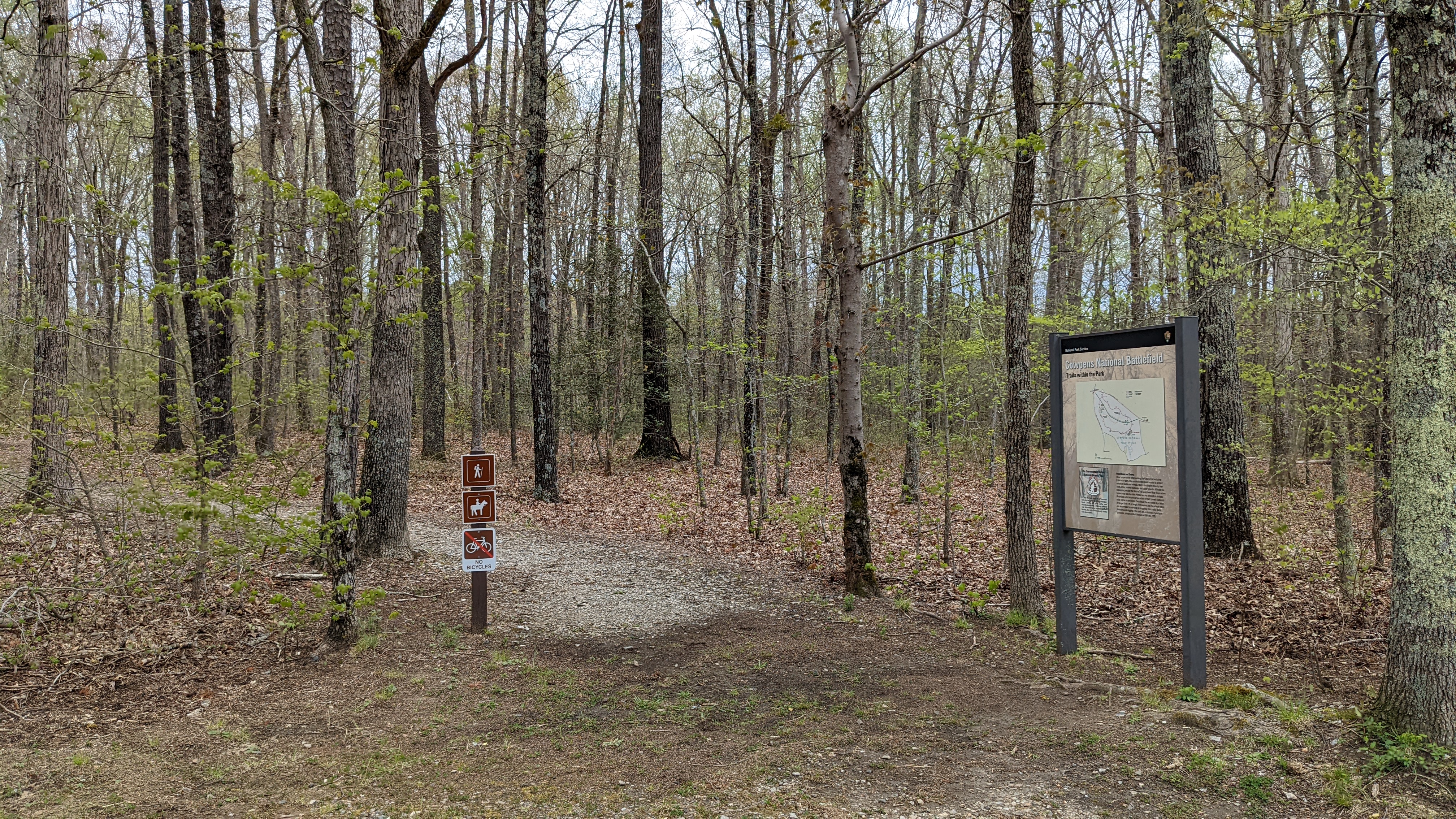
The park's 2-mile Nature Trail leads you through varied habitat -- from floodplain to forest -- typical of the South Carolina upcountry. Sycamores, hollies, hickories, cedars, and 12 species of oak shade the trail. Look carefully on the forest floor for fan club moss and dwarf flower heartleaf (leaf), a threatened species. Of the 500 plus plant species in the park, most are native.
Morning and evening are the best times to spot wild turkeys, white tailed deer browsing on tender underbrush, and cottontail rabbits and gray squirrels scurrying for cover at the sound of your footsteps. As you cross the footbridges, look for turtles sunning on rocks, as well as frogs, salamanders, and perhaps snakes.
Accessibility The trail is 2-miles long, about 1.5ft wide, unimproved dirt, bridges over the creek, and has stairs at the end.
Robert Scruggs House Pathway
Trailhead Trail
Green River Road on the OVNHT the Park Service's write-up
45-60 Minutes · dogs allowed
Start Trailhead Parking Area for Historic Green River Road
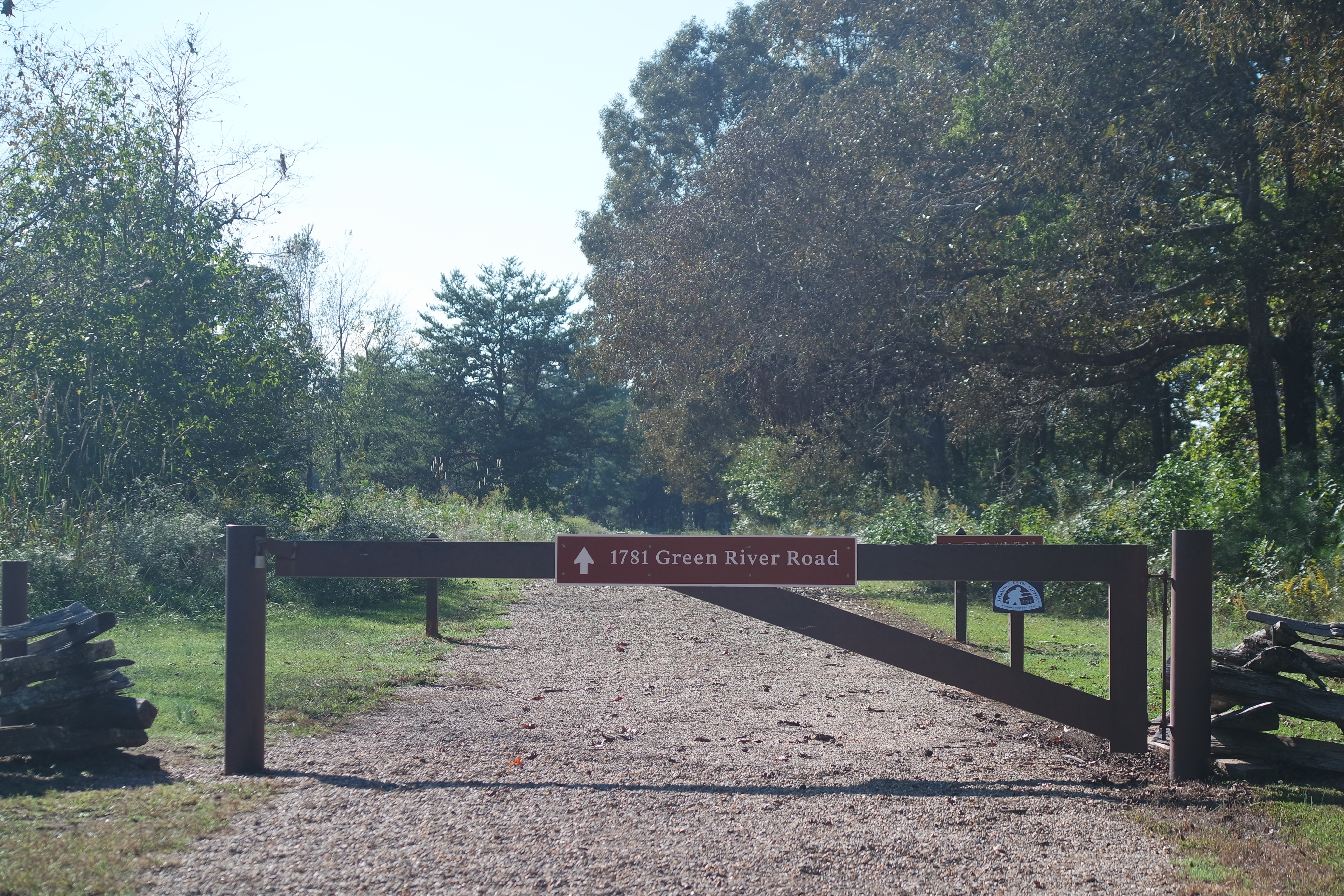
One of the certified segments of the Overmountain Victory National Historic Trail is the "Historic Green River Road" located within Cowpens National Battlefield in Gaffney, South Carolina. This trail was used by patriot militia on October 6, 1780 during their pursuit of British Major Patrick Ferguson and was the last large gathering and rest before the Battle of Kings Mountain on October 7, 1780.
This level gravel hiking trail is a "there-and-back" hike approximately 1.8 miles long and begins at a "Trailhead Parking" area located on Highway 11 one mile away from the main entrance gate to Cowpens National Battlefield. The trail can also be accessed from the Cowpens National Battlefield Visitor Center at 4001 Chesnee Highway, Gaffney, South Carolina 29341.
Accessibility The "Historic Green River Road" trail is a 1.8 mile wide gravel road. There are short paved sidewalks to access the trail from the Trailhead Parking Area, and to divert off the trail to the Cowpens National Battlefield Visitor Center. The trail features a firm grassy shoulder in addition to the pea gravel.
About these trails
The lines are the National Park Service's public trails layer, the trailheads and the waterfalls, views, peaks and historic places along them the Service's public points of interest, read 2026-10-14 and simplified for the map. The write-ups are the Service's own "things to do", unedited. Heights come from USGS 3DEP through Terrain Tiles on AWS (Mapzen/Tilezen), read along each line and rounded; a short trail on steep ground can be off by a few tens of feet. Closures change: check the park's own site before you go.