51 named trails · 44 miles · 3 with the Park Service's own write-up. The lines, trailheads and points are the Park Service's; the write-ups are the Service's own words; the climbing is read from USGS elevation along each line.
0.5 mi one way · about 150 ft of climbing · 6,404 ft–6,531 ft · earth surface · hiking
Hike Creekside Towers Trail the Park Service's write-up
1-2 Hours · dogs allowed
Start Bath Rock Parking Area
Staff choice for Best Family-Friendly Hike
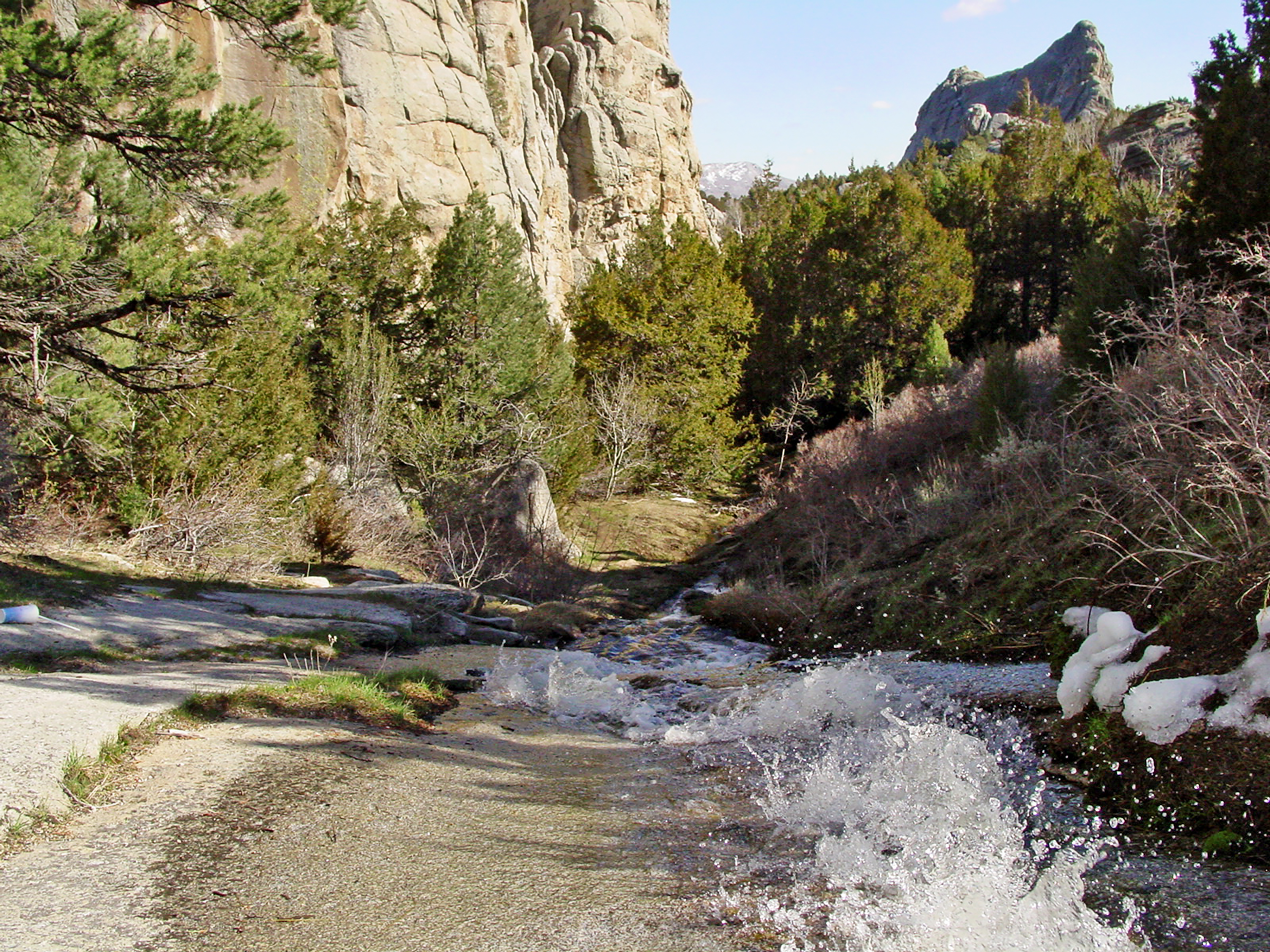
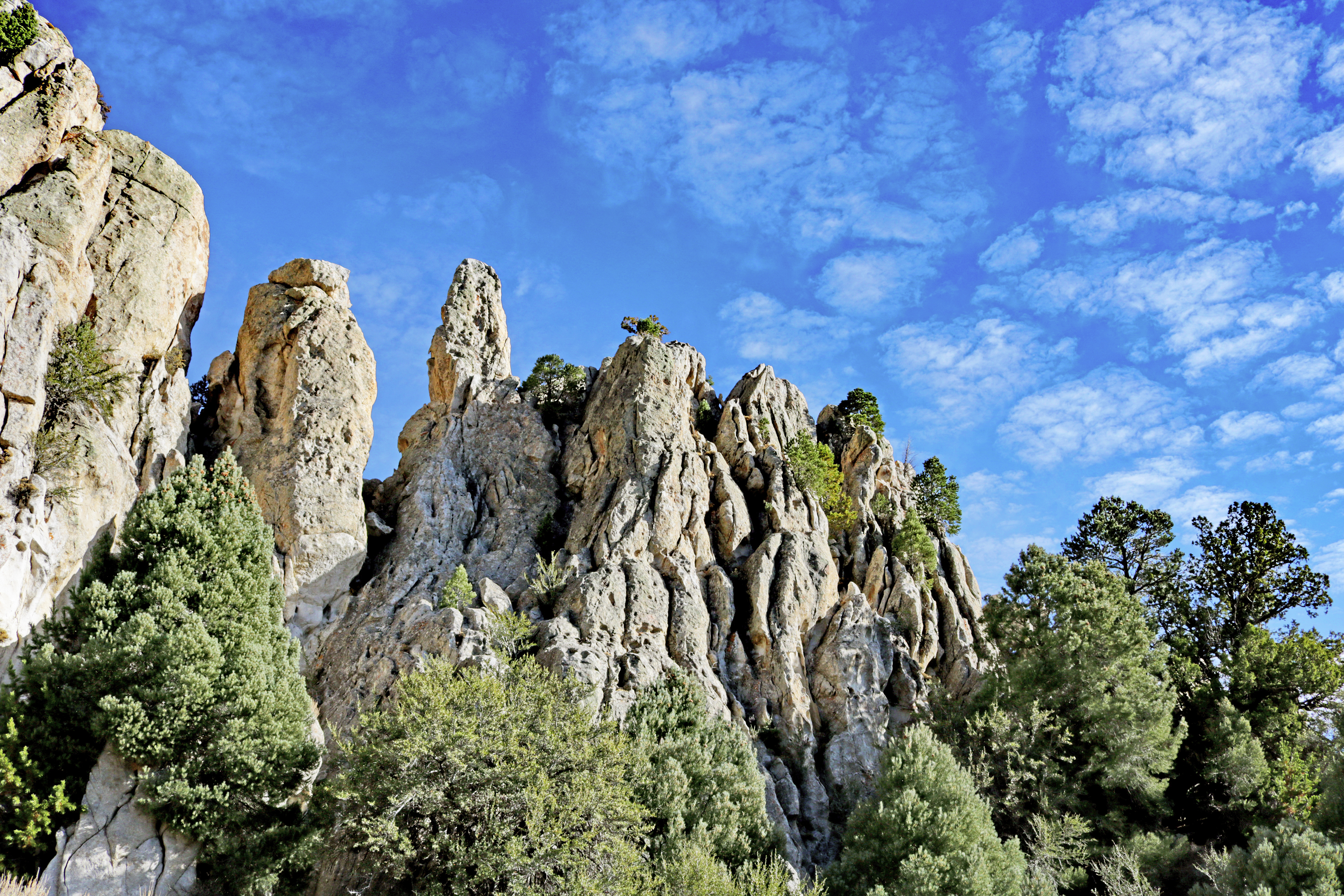
The Creekside Towers trailhead is located at the northern end of the Bath Rock parking lot. Creekside Towers is an out-and-back 1.2-mile trail, although nearby trails (such as Stairways or South Fork Circle Creek trails) could make for a longer and more adventurous loop. The trail’s gentle grade of 122 feet relative elevation is suitable for families with children or anyone looking for an easier hike in the Reserve. In spring and early summer enjoy the running creek and small cascading waterfall. Outstanding scenery, sculpted granite pinnacles, and a diversity of plants and animals await you.
Get more out of the Creekside towers hike with the guide in the Self-Guided Tours section of the City of Rocks NPS Mobile App or pick up a trail guide at our Visitor Center.
Accessibility This trail has a gentle grade. The first section of trail is wide and has relatively smooth terrain. However, farther on the trail does have some rougher, uneven surfaces.
0.6 mi one way · about 100 ft of climbing · 6,167 ft–6,295 ft · earth surface · hiking
Hike the Geological Interpretive Trail the Park Service's write-up
1-2 Hours · dogs allowed
Start The trail starts from Circle Creek Overlook Parking Lot
A self-guided journey to discovering the geology at City of Rocks National Reserve.
Have you ever visited City of Rocks and wondered, “How did this happen?” or “Why do the rocks look like this?”
The 1 mile Geological Interpretive Trail is the perfect short hike to:
see fascinating geological formations up close
examine the difference between the Green Creek Complex and Almo Pluton
learn about the geologic history of this landscape
There are 12 interpretive stations along the trail, find the Geological Interpretive Trail Guide in the Self-Guided Tours section of the City of Rocks NPS Mobile App or pick up a guide booklet for $5 at our Visitor Center.
Accessibility This 1 mile trail is over bare ground with a gentle grade, gaining 160 feet in elevation.
3.8 mi one way · about 70 ft of climbing · 1,500 ft of descent · 6,128 ft–7,243 ft · earth surface · hiking
Picnic areas
Along the wayEmery Pass Picnic Area
Hike the City of Rocks Loop the Park Service's write-up
4-6 Hours · dogs allowed
Strenuous – 6.8 miles
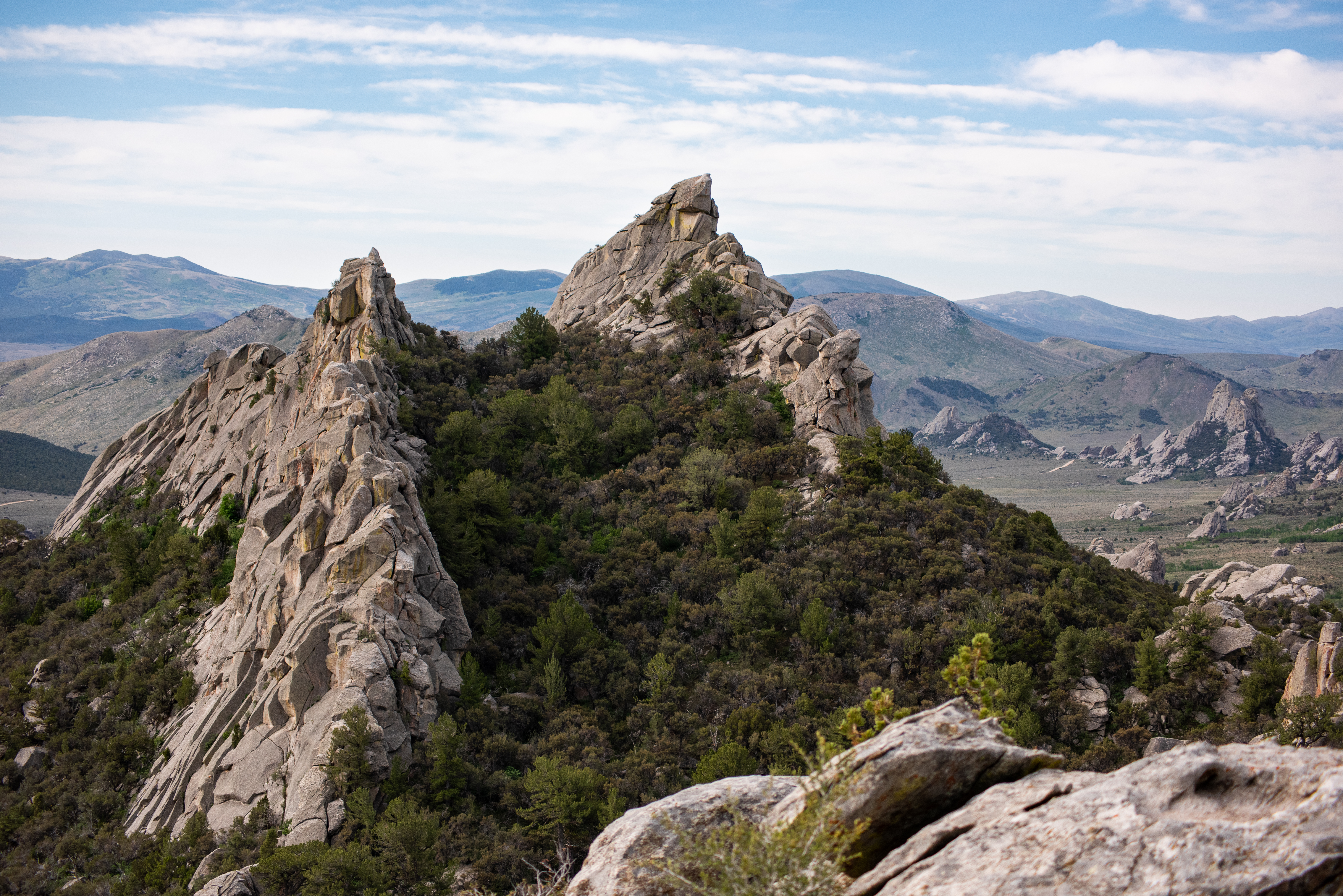
From sagebrush flats to high country groves, this trail takes you deep into the “City.” This remote loop hike is a ranger favorite. The combination of pine trees, rock formations, and epic views offer a surprise at every turn of the trail. The loop can be accessed from several trailheads along the main road. The Emery Creek Picnic area is a great starting point, the North Fork Circle Creek trailhead is located across the road from the parking area. About 1 mile in check out the spectacular view from the overlook (near the gate). Shortly after beginning the descent down toward North Creek you will come across North Fork Spring. As you make your way down toward the basin, watch for the trail to cut back right (west) along the base of the impressive Stripe Rock formation. Continue past Lost Arrow Spire on the Bumblie Trail, then join South Fork Circle Creek Trail heading back up to complete the loop. North Fork Circle Creek and South Fork Circle Creek are abbreviated on many trail signs as N.F.C.C and S.F.C.C.
Accessibility This trail is narrow and steep in places over uneven terrain.
21 more mapped segments without a name are on the map, not in the list.
About these trails
The lines are the National Park Service's public trails layer, the trailheads and the waterfalls, views, peaks and historic places along them the Service's public points of interest, read 2026-10-14 and simplified for the map. The write-ups are the Service's own "things to do", unedited. Heights come from USGS 3DEP through Terrain Tiles on AWS (Mapzen/Tilezen), read along each line and rounded; a short trail on steep ground can be off by a few tens of feet. Closures change: check the park's own site before you go.