13 named trails · 21 miles · 1 with the Park Service's own write-up. The lines, trailheads and points are the Park Service's; the write-ups are the Service's own words; the climbing is read from USGS elevation along each line.
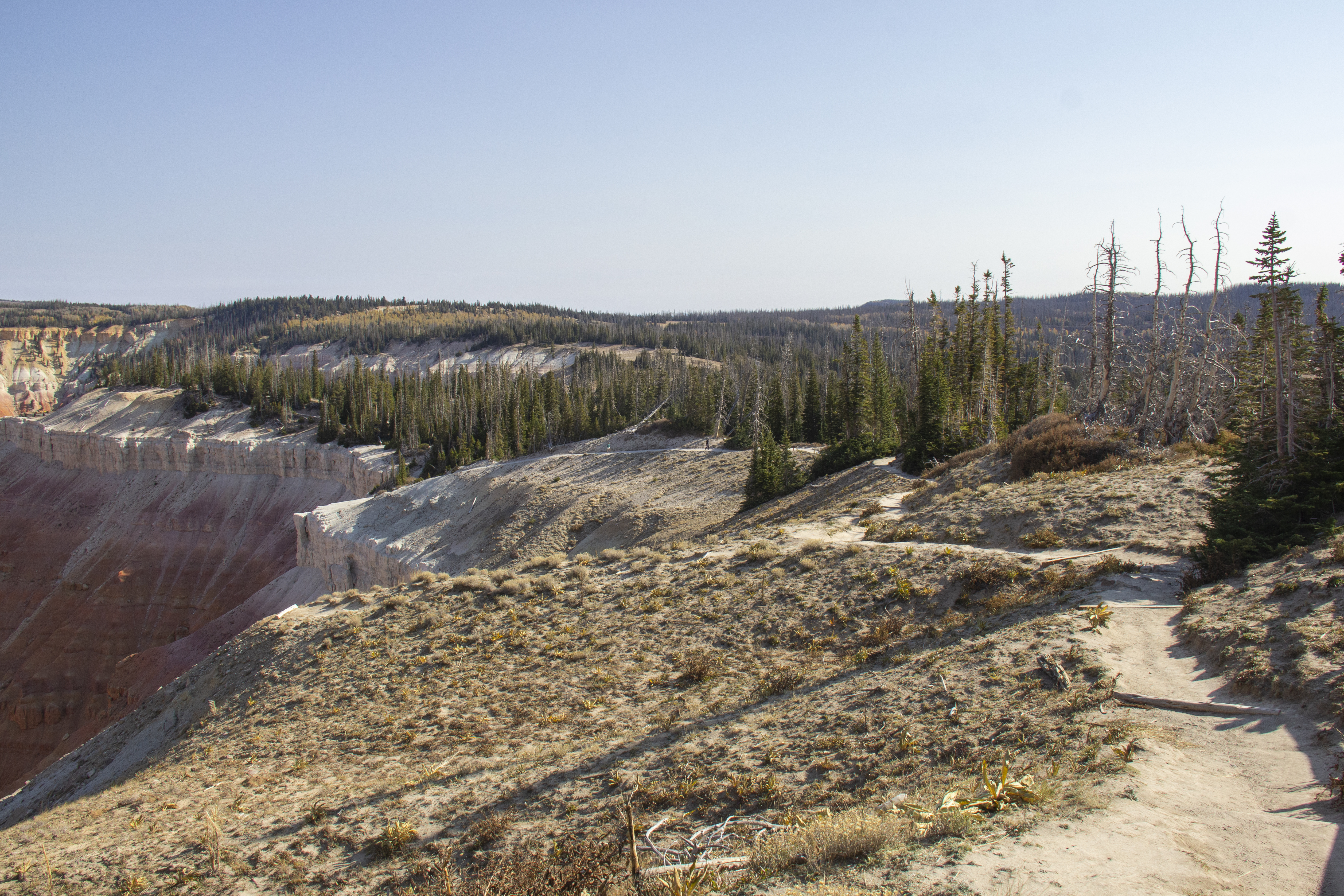
The 5-mile (roundtrip) South Rim Trail is one of the best ways to experience the breaks. Photo: NPS/Everitt
A hike along the South Rim Trail can be one of the best experiences at Cedar Breaks National Monument. The trail follows the rim of the Cedar Breaks Amphitheater from Point Supreme to the Bartizan. Along the way, there are several scenic viewpoints that offer unique perspectives of the formations within the amphitheater.
Pets Pets are not permitted on the South Rim Trail. Please visit our Pets page for more information.
Accessibility The trail is a narrow dirt path with frequently changing elevation including steep portions which water-breaks or small stairs are built to limit erosion.
The lines are the National Park Service's public trails layer, the trailheads and the waterfalls, views, peaks and historic places along them the Service's public points of interest, read 2026-10-14 and simplified for the map. The write-ups are the Service's own "things to do", unedited. Heights come from USGS 3DEP through Terrain Tiles on AWS (Mapzen/Tilezen), read along each line and rounded; a short trail on steep ground can be off by a few tens of feet. Closures change: check the park's own site before you go.