Boca Picnic Area Trail
Picnic areas
Along the way Picnic Area

National Monument · New Mexico
7 named trails · 4 miles · 1 with the Park Service's own write-up. The lines, trailheads and points are the Park Service's; the write-ups are the Service's own words; the climbing is read from USGS elevation along each line.
7 trails, A to Z.
Picnic areas
Along the way Picnic Area
Picnic areas
Along the way Picnic Area
SheltersExhibits
Along the way Building a Cinder Cone Interpretive Exhibit Gambel Oak Interpretive Exhibit Grasslands Meet Mountains Interpretive Exhibit Juniper Interpretive Exhibit Ladybugs Interpretive Exhibit Landmarks and Trails Interpretive Exhibit Making a Monument Interpretive Exhibit Mountain Mahogany Interpretive Exhibit Mule Deer Interpretive Exhibit Plantlife Interpretive Exhibit Porcupines Feasted Here Interpretive Exhibit Pressure Ridges I Interpretive Exhibit and 13 more
Picnic areas
Along the way Group Picnic Area
10-180 Minutes · no dogs
Start Parking Lot at the Visitor Center
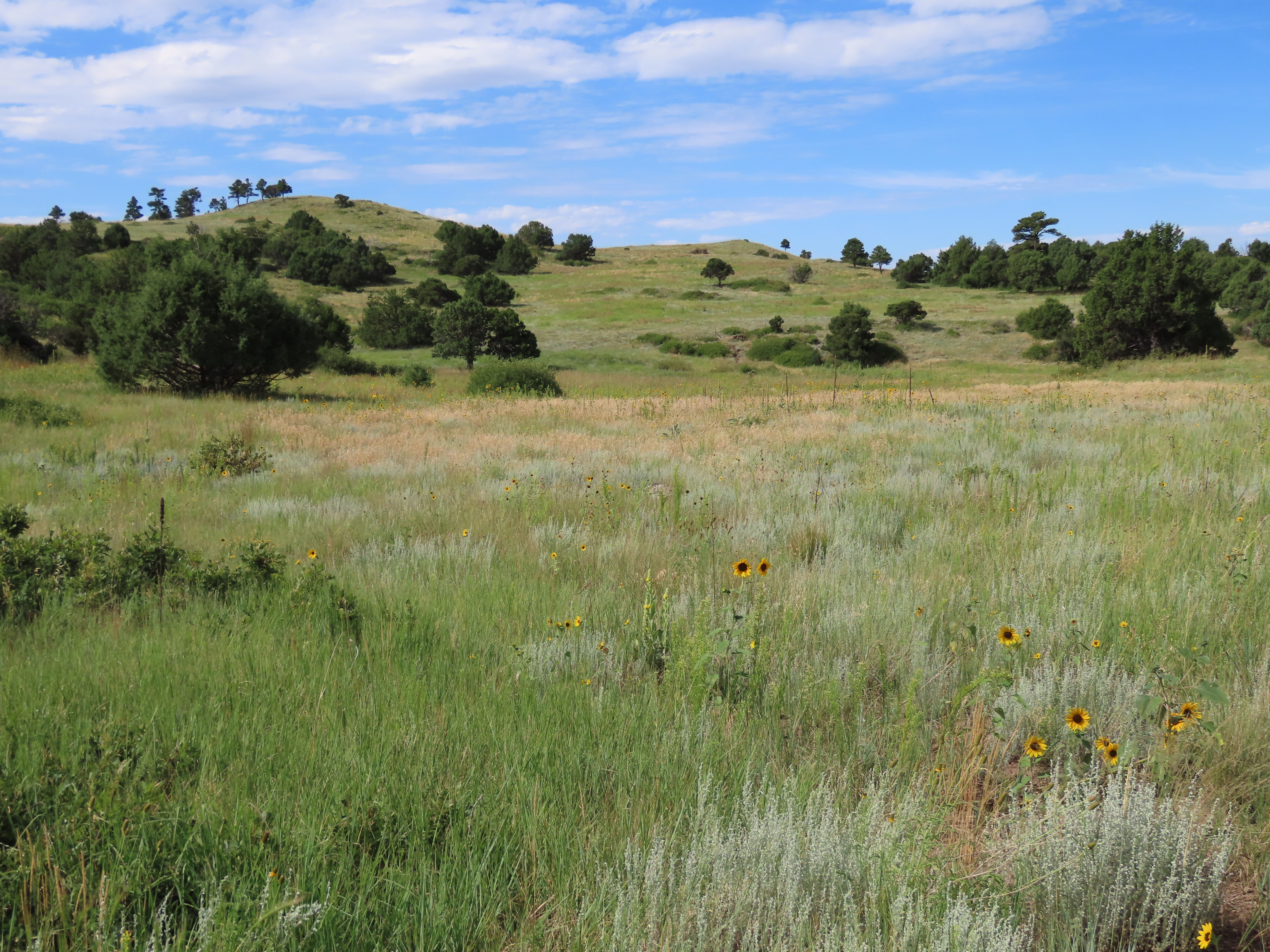
Take a walk over and around the lava flows Capulin Volcano produced. With over 3 miles of trail at the base of the volcano, there's plenty of opportunities to enjoy the volcanic geology of this unique cinder cone.
The Nature Trail is a figure eight sidewalk trail that is accessible to all. Stop along the way at descriptors discussing plant life, geology, and wildlife in this short walk around a volcanic "squeeze up."
The Lava Flow Trail is an unimproved, 1 mile loop that crosses a couple of the volcano's lava flows while providing great views of the surrounding volcanic topography.
The Boca Trail is an unimproved, 2 mile loop through the Boca area, which is the vent area at the base from which the volcano's lava flows originated. The trail provides close up views of numerous geologic features including collapsed lava tubes.
Pets While pets are allowed on the Nature Trail as long as they are on a leash, only service animals are allowed on the Lava Flow Trail and Boca Trail.
Accessibility Service animals are allowed on all trails at Capulin Volcano. The Nature Trail is a fully accessible, tenth of a mile, flat, 5 foot wide smooth concrete path that can be accessed by a ramp from the end of the patio in front of the visitor center. The Lava Flow Trail is a rough, 1 mile, 1 to 10 feet wide, uneven trail covered in dirt, cinder, and large lava rocks with steep uneven steps in places. The Boca Trail is a rough, 2 mile, sometimes steep, 1 to 3 feet wide, uneven trail covered in dirt, lava rocks, and rolling cinder.
ExhibitsVisitor centers
Along the way Basalt Interpretive Exhibit Chokecherry Interpretive Exhibit Currants and Gooseberries Interpretive Exhibit Juniper Interpretive Exhibit Lava Flow Surface Interpretive Exhibit Lava Squeeze Up Interpretive Exhibit Lichens Interpretive Exhibit Oakbrush Interpretive Exhibit Pinon Pine Interpretive Exhibit Ponderosa Interpretive Exhibit Prairie Grasses Interpretive Exhibit Prickly Pear Cactus Interpretive Exhibit and 6 more
SheltersExhibits
Along the way Building a Cinder Cone Interpretive Exhibit Capulin Chokecherry Interpretive Exhibit Grasslands Meet Mountains Interpretive Exhibit Making a Monument Interpretive Exhibit The Raton-Clayton Volcanic Field Interpretive Exhibit Volcanic Plumbing Interpretive Exhibit Crater Rim Shelter
The lines are the National Park Service's public trails layer, the trailheads and the waterfalls, views, peaks and historic places along them the Service's public points of interest, read 2026-10-14 and simplified for the map. The write-ups are the Service's own "things to do", unedited. Heights come from USGS 3DEP through Terrain Tiles on AWS (Mapzen/Tilezen), read along each line and rounded; a short trail on steep ground can be off by a few tens of feet. Closures change: check the park's own site before you go.