18 named trails · 47 miles · 9 with the Park Service's own write-up. The lines, trailheads and points are the Park Service's; the write-ups are the Service's own words; the climbing is read from USGS elevation along each line.
0.5 mi one way · about 50 ft of climbing · 4,355 ft–4,403 ft · asphalt, concrete surface
Exhibits
Along the wayGuano MiningGuano Mining
Chihuahuan Desert Nature Trail the Park Service's write-up
30 Minutes · dogs allowed
Start Chihuahuan Desert Nature Trail
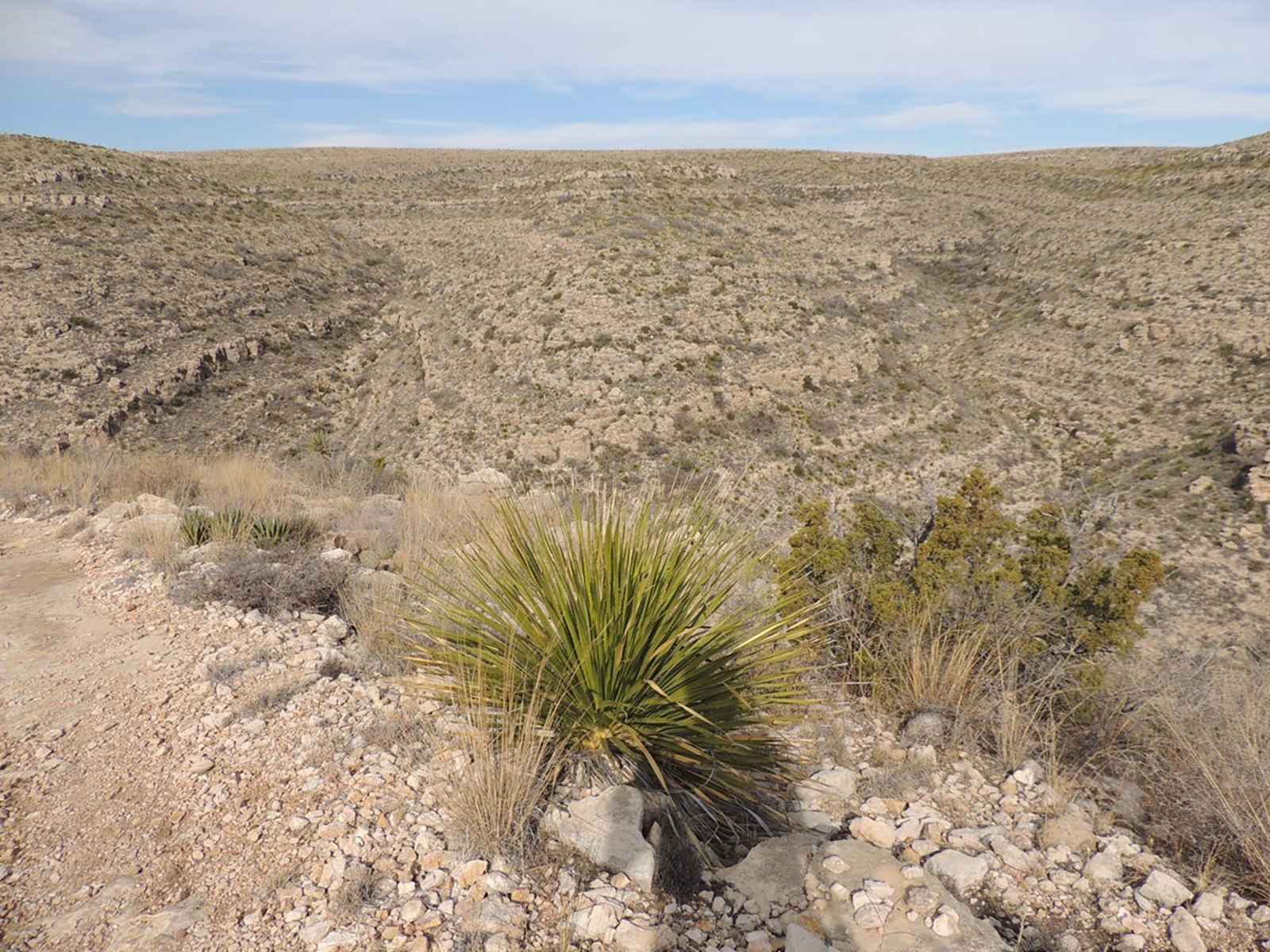
Sotol Photo: NPS / Michael Larson
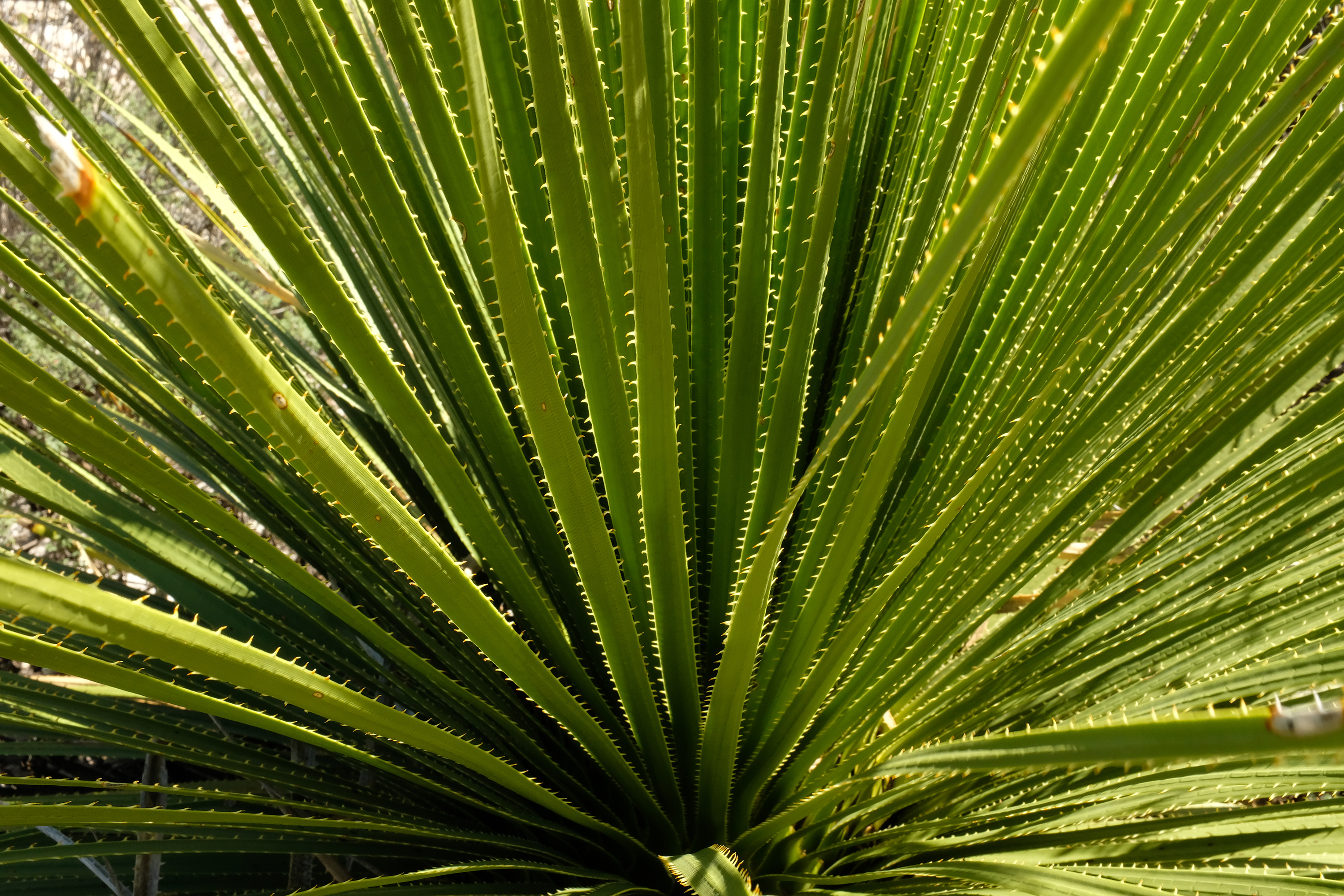
Labels along this 0.7 mile (1.1 km) nature trail loop provide information on plants found along this route. The upper section of this trail is wheelchair accessible and leadsd 0.2 mile (0.3 km) to a viewpoint with a shade shelter.
Accessibility The upper section of the trail is accessible for 0.2 mile (0.3 km).
2.8 mi one way · about 700 ft of climbing · 4,114 ft–4,731 ft
Juniper Ridge Trail the Park Service's write-up
3 Hours · no dogs
Start Juniper Ridge Trailhead
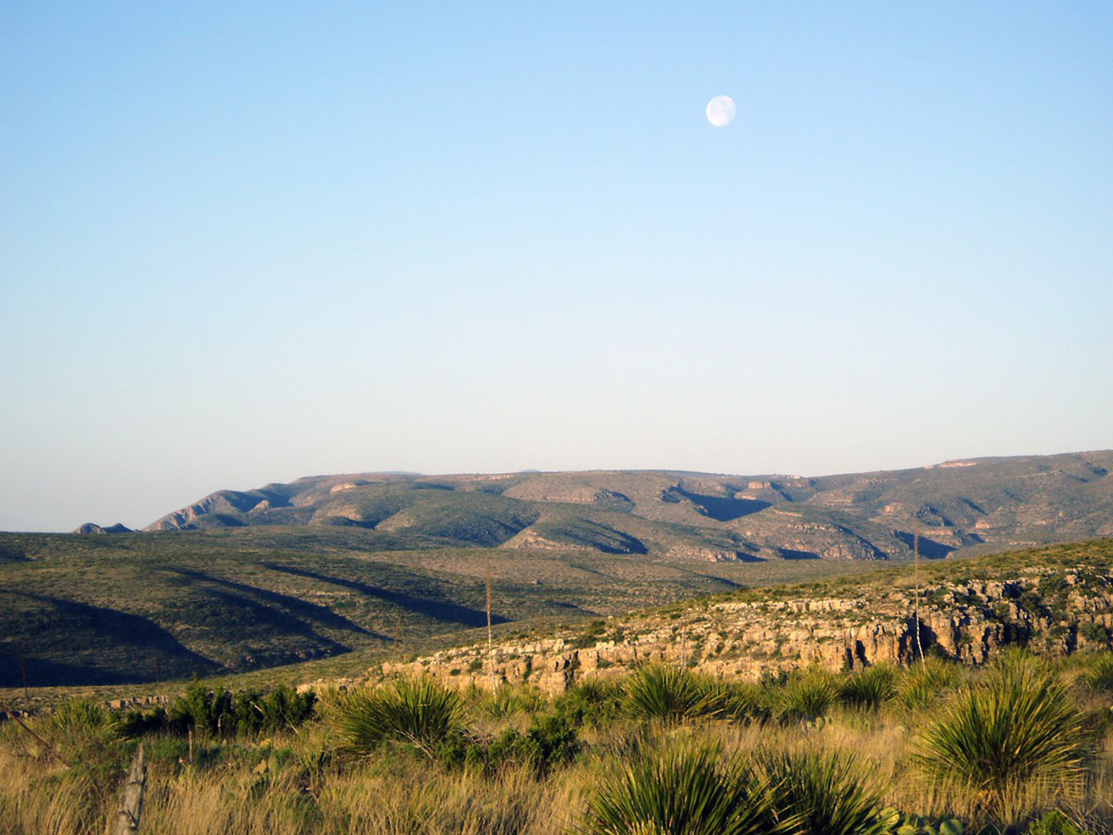
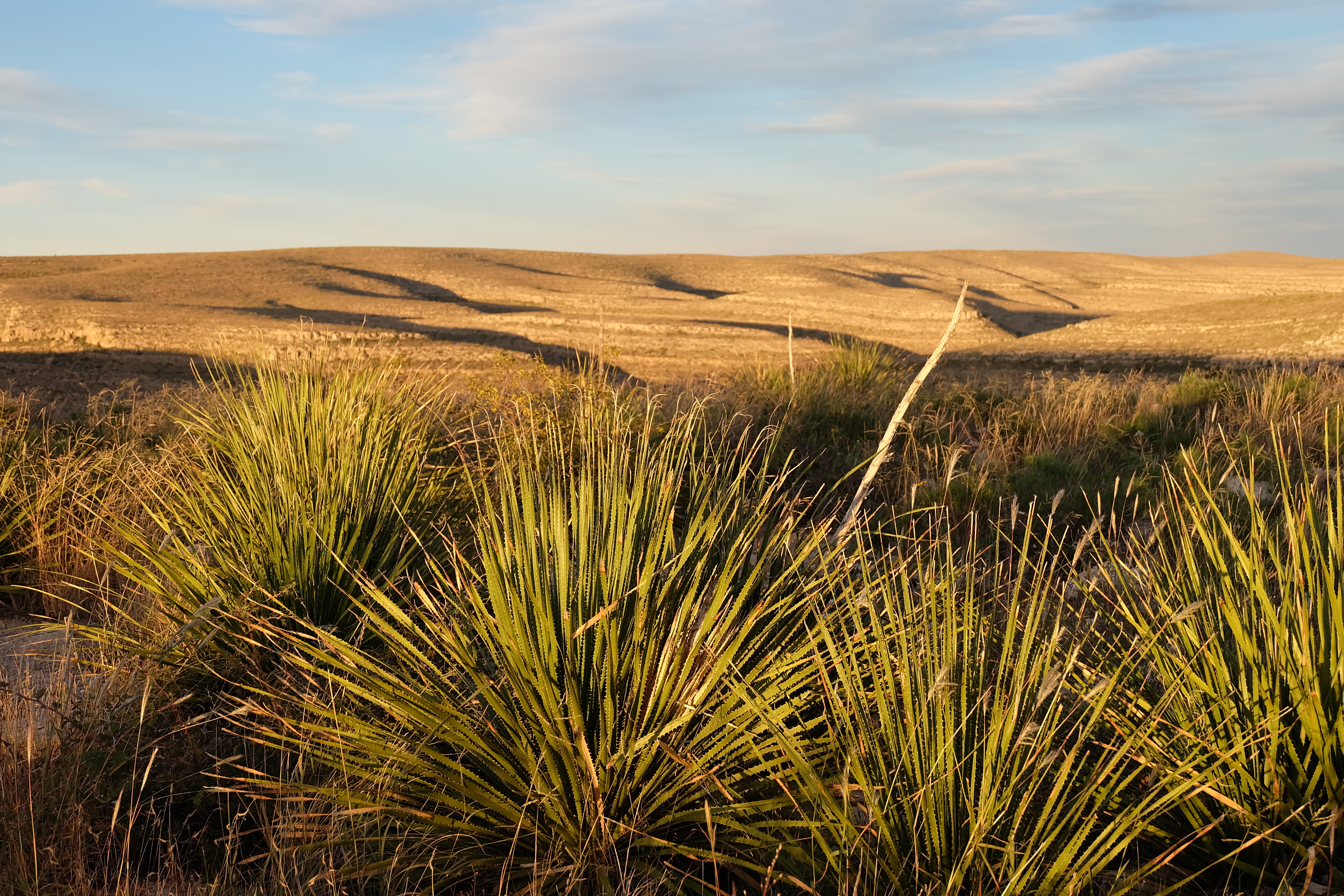
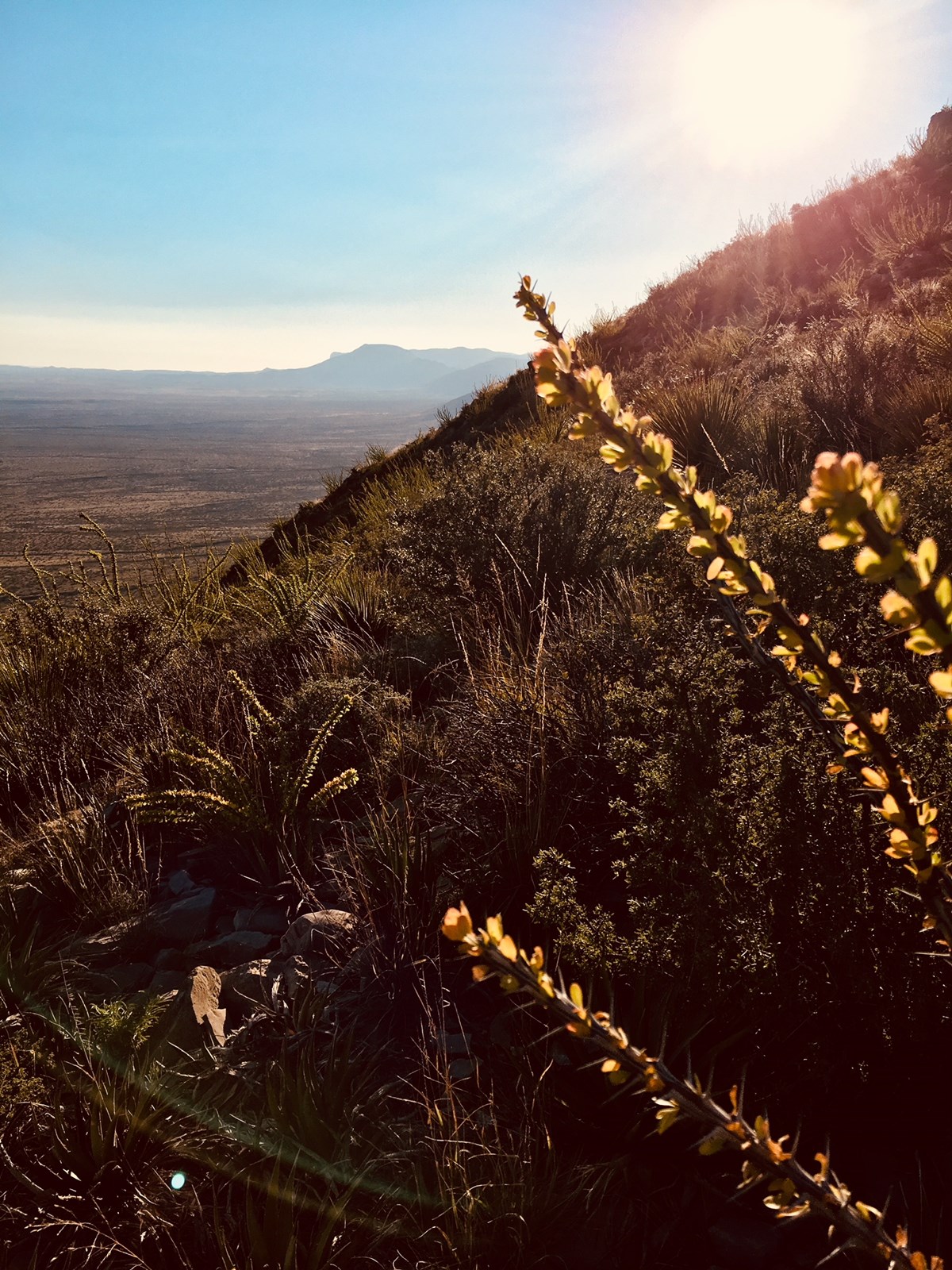
The Chihuahuan Desert and mountains along the Juniper Ridge Trail. Photo: NPS
Located on the scenic Walnut Canyon Desert Drive, the trailhead is about 1 mile (1.6 km) past interpretive marker #9. The Juniper Ridge trail is considered easy with an 800 foot (240 m) change in elevation over the 3.5 mile (5 km) path.
Accessibility Trail is narrow, rocky, and steep in places.
3.4 mi one way · about 700 ft of climbing · 3,704 ft–4,357 ft · gravel surface
Exhibits
Along the wayGuano MiningGuano Mining
Old Guano Trail the Park Service's write-up
2 Hours · no dogs
Start Old Guano Trail
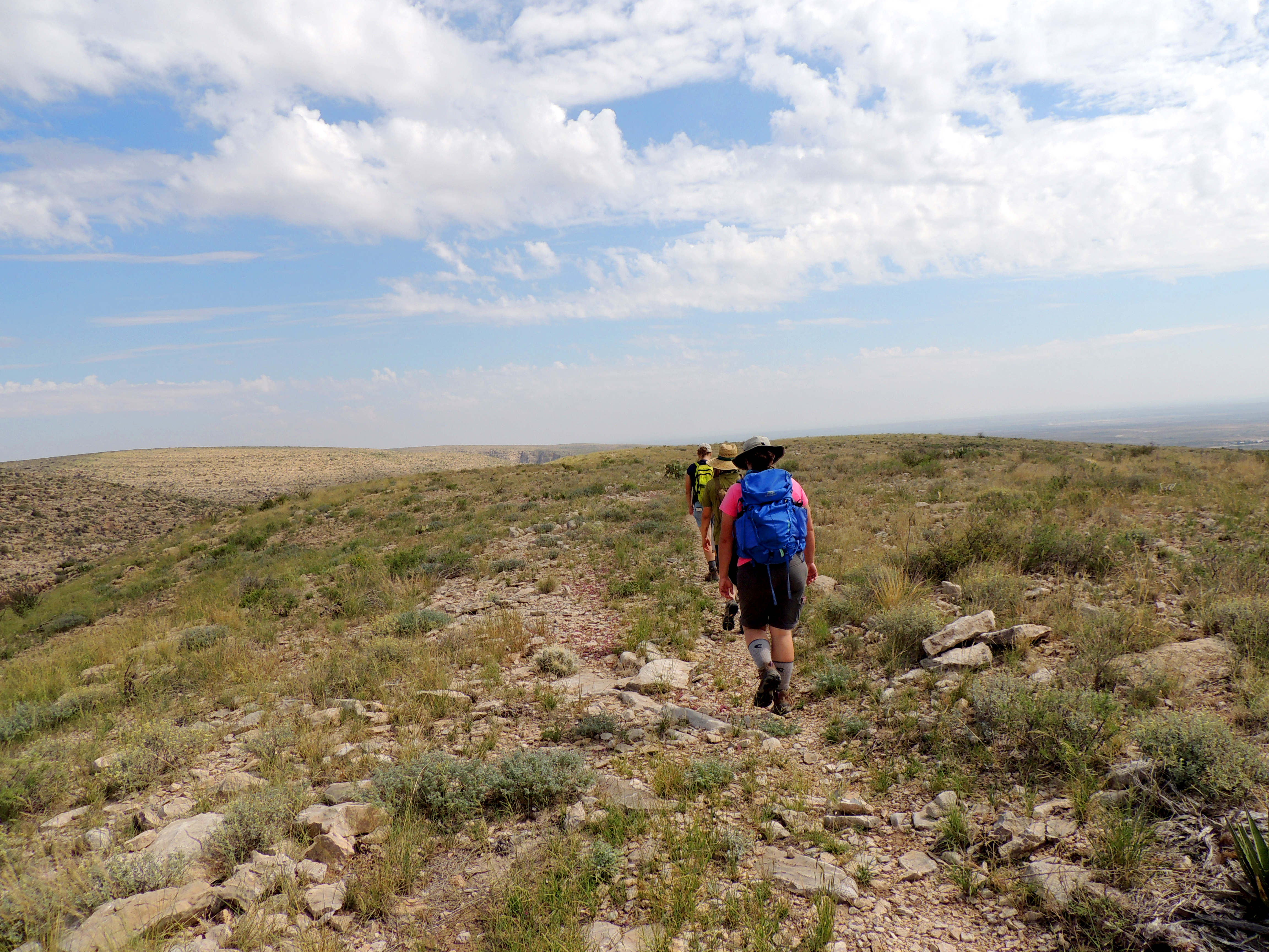
Hikes on the Old Guano Trail. Photo: NPS / Andy Rankin
You can begin this trail at the dirt road adjacent to the Natural Entrance to Carlsbad Cavern. It follows the historic road used to haul guano from the cavern in the early 1900s, and hikers will see ruins and debris from the mining operation about a mile (1.6 km) from the entrance. This 3.7 miles (6 km) trail descends the escarpment, ending at the White's City campground. One-way travel takes an estimated two hours at an easy activity level with a 750 feet (216 m) change in elevation. It is closed near the cavern entrance during Bat Flight Programs.
3.8 mi one way · about 250 ft of climbing · 600 ft of descent · 3,927 ft–4,538 ft
Lower Rattlesnake Canyon Trail the Park Service's write-up
3 Hours · no dogs
Start Rattlesnake Canyon Trailhead
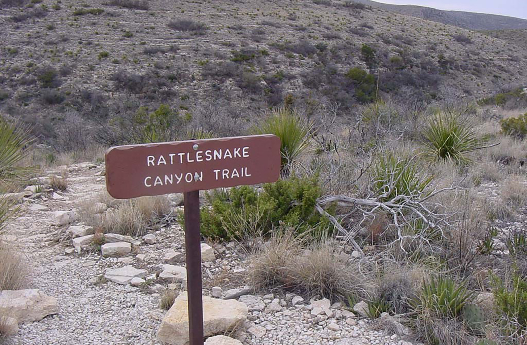
Sign at the trailhead to the Rattlesnake Canyon Trail. Photo: NPS
A moderate trail which begins approximately 0.25 mile (0.4 km) past interpretive marker #4 on the beautiful Walnut Canyon Desert Drive. This 3 miles (4.8 km) trail has an elevation change of 600 feet (183 m).
Overnight use by permit only. Permits are available for free at the visitor center during business hours.
This 6 mile (9.6 km) loop trail is moderately difficult and travels travels from the Rattlesnake Canyon Trailhead to the Guadalupe Ridge Trail, down to the Walnut Canyon Desert Drive, and back up to the Rattlesnake Canyon Trailhead. The change in elevation along the trail is 670 feet (204 m).
A free permit is required for all overnight use of the park’s backcountry which can be obtained at the visitor center during business hours.
0.5 mi one way · 500 ft of descent · 4,225 ft–4,718 ft
Slaughter Canyon Cave Trail the Park Service's write-up
90 Minutes · no dogs
Start Slaughter Canyon Cave Trailhead
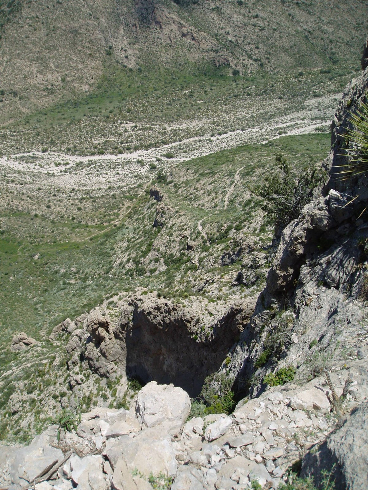
View from along the Slaughter Canyon Cave Trail. Photo: NPS
Gaining 500 feet (152 m) in elevation over a rugged 0.5 mile (1 km) path, the views of Slaughter Canyon are spectacular. Considered a difficult trail, hikers generally take about 45 minutes to go from the parking area to the cave entrance.
The cave itself can only be seen on a ranger-guided tour.
Accessibility Trail is narrow, rocky, and moderately steep.
5.6 mi one way · about 90 ft of climbing · 2,000 ft of descent · 4,220 ft–6,124 ft
Slaughter Canyon Cave Trail the Park Service's write-up
90 Minutes · no dogs
Start Slaughter Canyon Cave Trailhead
View from along the Slaughter Canyon Cave Trail. Photo: NPS
Gaining 500 feet (152 m) in elevation over a rugged 0.5 mile (1 km) path, the views of Slaughter Canyon are spectacular. Considered a difficult trail, hikers generally take about 45 minutes to go from the parking area to the cave entrance.
The cave itself can only be seen on a ranger-guided tour.
Accessibility Trail is narrow, rocky, and moderately steep.
Slaughter Canyon Trail the Park Service's write-up
7 Hours · no dogs
Start Slaughter Canyon Trailhead
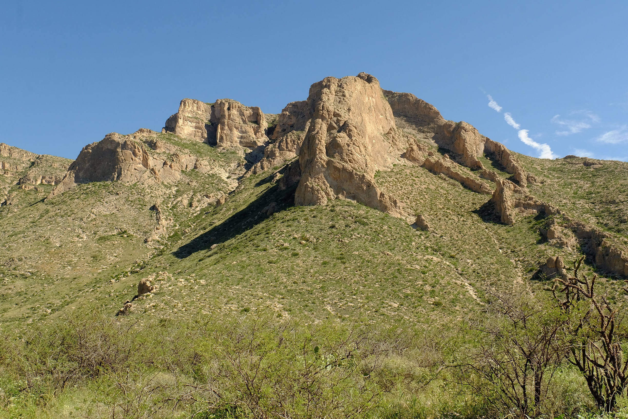
Mountains along the Slaughter Canyon Trail. Photo: NPS / Eymard Bangcoro
The trailhead for this 5.3 mile (8.6 km) hike is located at the parking area for Slaughter Canyon. Rated as difficult, one-way travel is 7 hours with an elevation change of 1,850 feet (564 m).
A free permit is required for all overnight use of the park’s backcountry which can be obtained at the visitor center during business hours.
This 6 mile (9.6 km) loop trail is moderately difficult and travels travels from the Rattlesnake Canyon Trailhead to the Guadalupe Ridge Trail, down to the Walnut Canyon Desert Drive, and back up to the Rattlesnake Canyon Trailhead. The change in elevation along the trail is 670 feet (204 m).
A free permit is required for all overnight use of the park’s backcountry which can be obtained at the visitor center during business hours.
0.1 mi one way · 4,251 ft–4,259 ft · asphalt surface
Exhibits
Along the wayCatclawJuniperLechuguillaMariollaSotolWalnut Canyon Vista Trail 500 feet
Walnut Canyon Overlook Trail the Park Service's write-up
5 Minutes · dogs allowed
Start Walnut Canyon Overlook Trailhead
View from Walnut Canyon Overlook. Photo: NPS / Eymard Bangcoro
This paved walkway provides a scenic view into Walnut Canyon along a short trail of 180 yards (165 m). This easy trail has an elevation change of 22 feet (7 m). The trailhead is located along the paved road to the visitor center.
This is a difficult 7.7 mile (12.4 km) trail that climbs quickly up a side canyon to the top of the escarpment. From the ridge, there are amazing views of the basin. The trail continues across the plateau until it reaches a sheer drop and view into Big Canyon. This is one of the few trails in the park where you may encounter ponderosa and other pines. Elevation change is 1,520 feet (464 m).
A free permit is required for all overnight use of the park’s backcountry which can be obtained at the visitor center during business hours.
Write-ups that name no single mapped trail, in the Service's words.
Explore the Cavern at Your Own Pace · 1-3 Hours · no dogs The Big Room and Natural Entrance trails can be enjoyed at your own pace. The Big Room Trail is easy to moderate in difficulty. The Natural Entrance Trail is strenuous. Enjoy one or both to experience a variety of cave formations.
About these trails
The lines are the National Park Service's public trails layer, the trailheads and the waterfalls, views, peaks and historic places along them the Service's public points of interest, read 2026-10-14 and simplified for the map. The write-ups are the Service's own "things to do", unedited. Heights come from USGS 3DEP through Terrain Tiles on AWS (Mapzen/Tilezen), read along each line and rounded; a short trail on steep ground can be off by a few tens of feet. Closures change: check the park's own site before you go.