Adirondack Access Trails
Campgrounds
Along the way Adirondack Shelters Camping Area

Park · Maryland
18 named trails · 25 miles · 17 trailheads · 3 with the Park Service's own write-up. The lines, trailheads and points are the Park Service's; the write-ups are the Service's own words; the climbing is read from USGS elevation along each line.
18 trails, A to Z.
Campgrounds
Along the way Adirondack Shelters Camping Area
Trailhead Gateway Trailhead 568 ft Drive there
Trailheads Chimney Rock / Wolf Rock Trailhead 1,138 ft Drive there · Visitor Center Trailhead 933 ft Drive there
4-6 Hours · dogs allowed · Spring, Summer, Fall
Start 8-Mile Loop
Visit All of the East Side
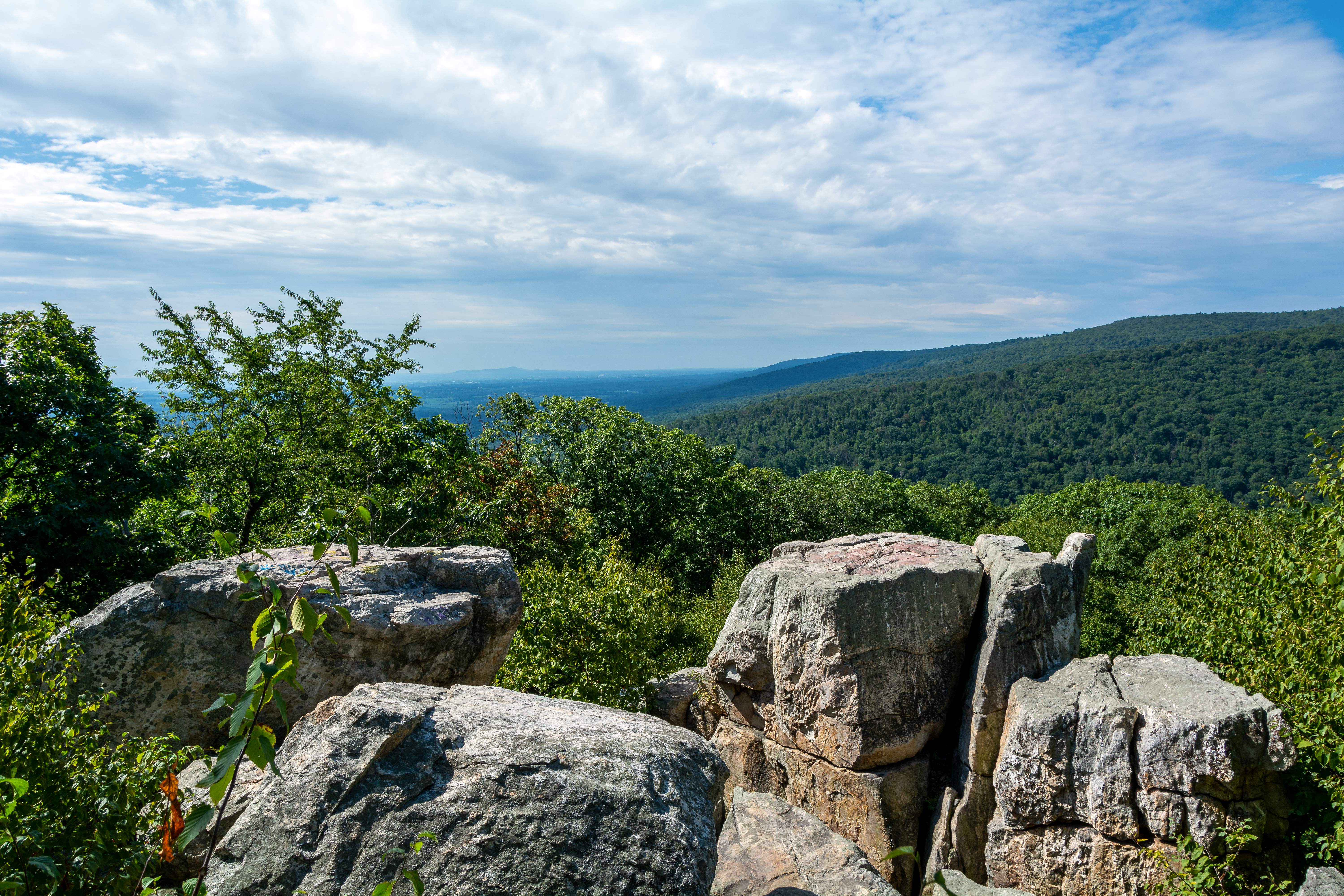
This loop is a combination of all of the three major loops in the park and completes an 8.5 mile loop. The loop makes a complete circle back to any of these access points. While hiking this loop visitors will experience Cunningham Falls, Hog Rock, Blue Ridge Summit, Thurmont Vista, Wolf Rock, and Chimney Rock. This loop combines moderate and strenuous trails for a great day of hiking. Smaller trail loops can be incoporated on this lager loop to extend the hike.
Please use caution when walking along rock surfaces. These areas can be slippery. Closely supervise children at all times. Watch for rattlesnakes in the areas of Chimney Rock and Wolf Rock. Wolf Rock, Chimney Rock, & Hog Rock formations are pet free areas.
Accessibility Chimney Rock Trail This trail is not wheelchair accessible. Thurmont Vista Trail This trail is not wheelchair accessible. Hog Rock Trail This trail is not wheelchair accessible. Cunningham Falls Nature Trail This trail is not wheelchair accessible.
2-4 Hours · dogs allowed
Start Yellow Loop Trail
Visit Cunningham Falls, Hog Rock, & Blue Ridge Summit
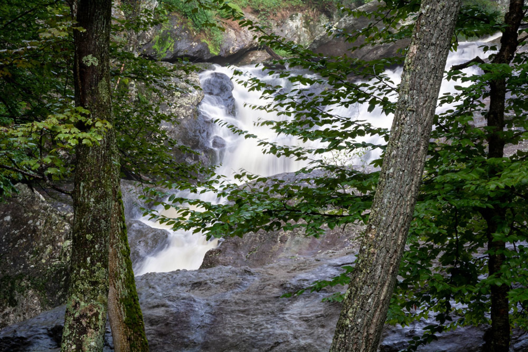
This trail provides hikers the opportunity to experience the majesty of Cunningham Falls cascading down 78 feet, and the mountain vistas from Hog Rock and Blue Ridge Summit., completing a 4.6 mile loop.
Marked by a yellow blaze, this trail varies in difficulty from moderate to strenuous, circling across the mountainside through the thick second growth forests and impressive geological formations. The viewpoints from the highest summits in the park are well worth the hike.
Accessibility The Yellow Loop Trail is not wheelchair Accessible. Handicap Parking is available at the boardwalk to the base of Cunningham Falls off of MD Rt. 77
Trailhead Catoctin NRT at Owens Creek Campground 1,214 ft Drive there
Picnic areas
Along the way Chestnut Picnic Area
Trailhead Spicebush Nature Trailhead 1,696 ft Drive there
CampgroundsPicnic areas
Along the way Camp Round Meadow Owens Creek Picnic Area
Trailheads Browns Farm Trailhead at Camp Round Meadow 1,516 ft Drive there · Browns Farm Trailhead at Owens Creek Picnic Area 1,325 ft Drive there · Catoction NRT Trailhead at Owens Creek Picnic Area 1,314 ft Drive there
Trailhead Saw Mill Trailhead 1,235 ft Drive there
Trailhead Deerfield Nature Trailhead 1,321 ft Drive there
Trailheads Blue Blazes Still Trailhead 919 ft Drive there · Falls Nature Trailhead 922 ft Drive there
Trailheads Blue Blazes Still Trailhead 919 ft Drive there · Falls Nature Trailhead 922 ft Drive there
2-4 Hours · dogs allowed · Spring, Summer, Fall
Start Chimney Rock
Visit Chimney Rock
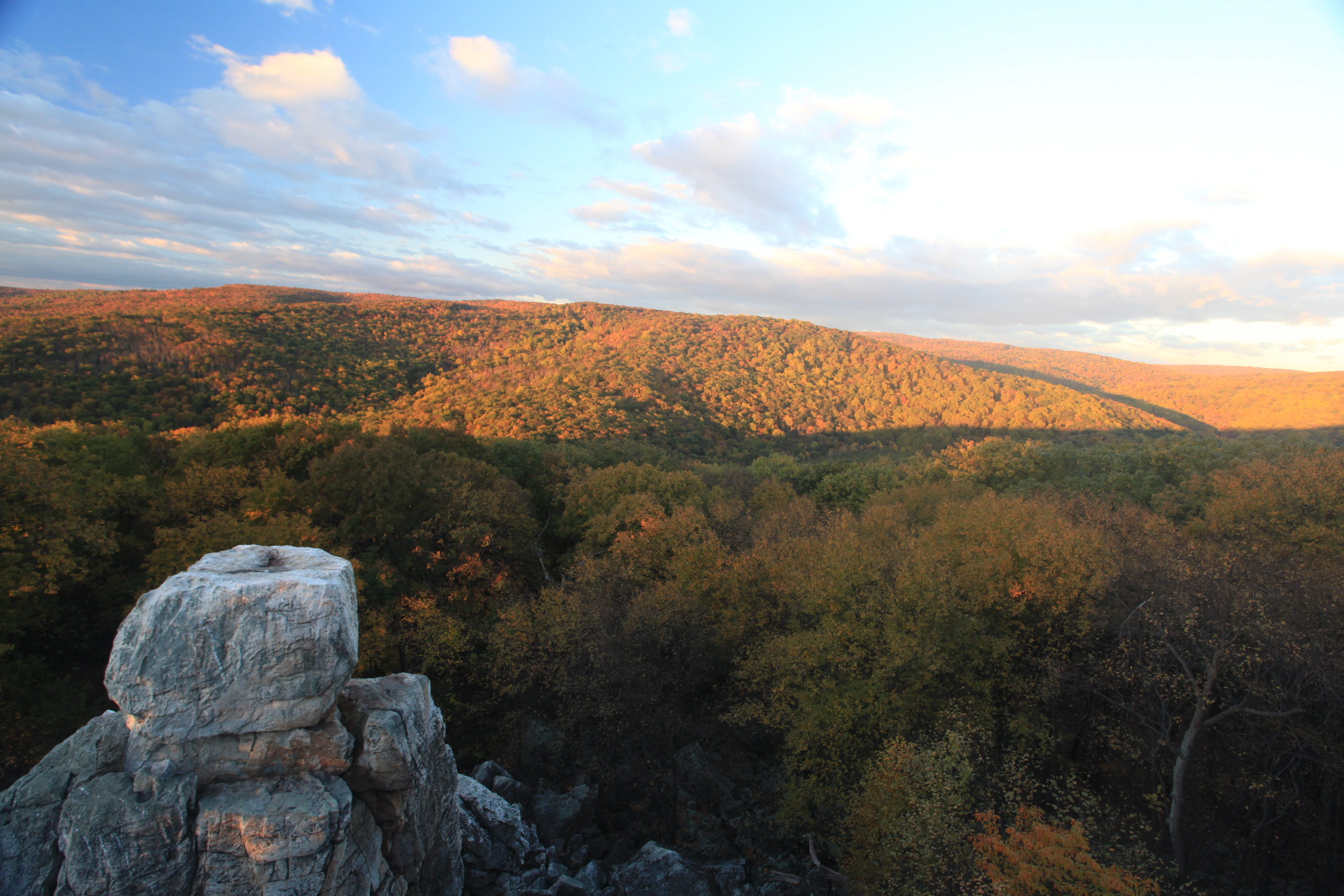
Along every hill and in every bend in the trail, a new experience, a new beauty, a new connection to Nature, waits for you at Catoctin Mountain Park. This semi-strenuous trail begins and ends at the East Corner of the paved parking area by the Visitor Center. The hike is 3.9 miles round trip and provides stunning views of the mountains from the top of Chimney Rock.
This loop is the most strenuous trail in our park as the trail is steep, narrow and at times can be slippery. The actual trail at times can be hard to identify so follow the map closely; it is designated by an orange blaze. A trail map and compass are advised. This trail features two of the most well known rock formations at Catoctin Mountain Park: Chimney Rock and Wolf Rock. Each of these rock formations are great places to stop and enjoy lunch or just take in the scenery. Chimney Rock reaches a maximum elevation of 1419 ft and Wolf Rock has an elevation of 1401 ft.
Accessibility Chimney Rock Trail This trail is not wheelchair accessible. Spicebush Trail This quarter-mile interpretive trail is wheelchair-accessible with a natural-looking specially bonded WoodCarpet® that is firm and stable. The trailhead is in the Chestnut picnic area. Accessible parking and two wheelchair-accessible picnic tables connect to the trail. Restrooms are within 200'. Historic Camp Greentop, known for its tradition of serving children with disabilities, is also very close. Spicebush Trail Map (pdf 71kb)
Views
Along the way Blue Ridge Summit Overlook
Trailheads Blue Ridge Summit Trailhead 1,541 ft Drive there · Hog Rock Trailhead 1,541 ft Drive there · Visitor Center Trailhead 933 ft Drive there
1-2 Hours · dogs allowed
Start Thurmont Vista Loop
Visit Thurmont Vista
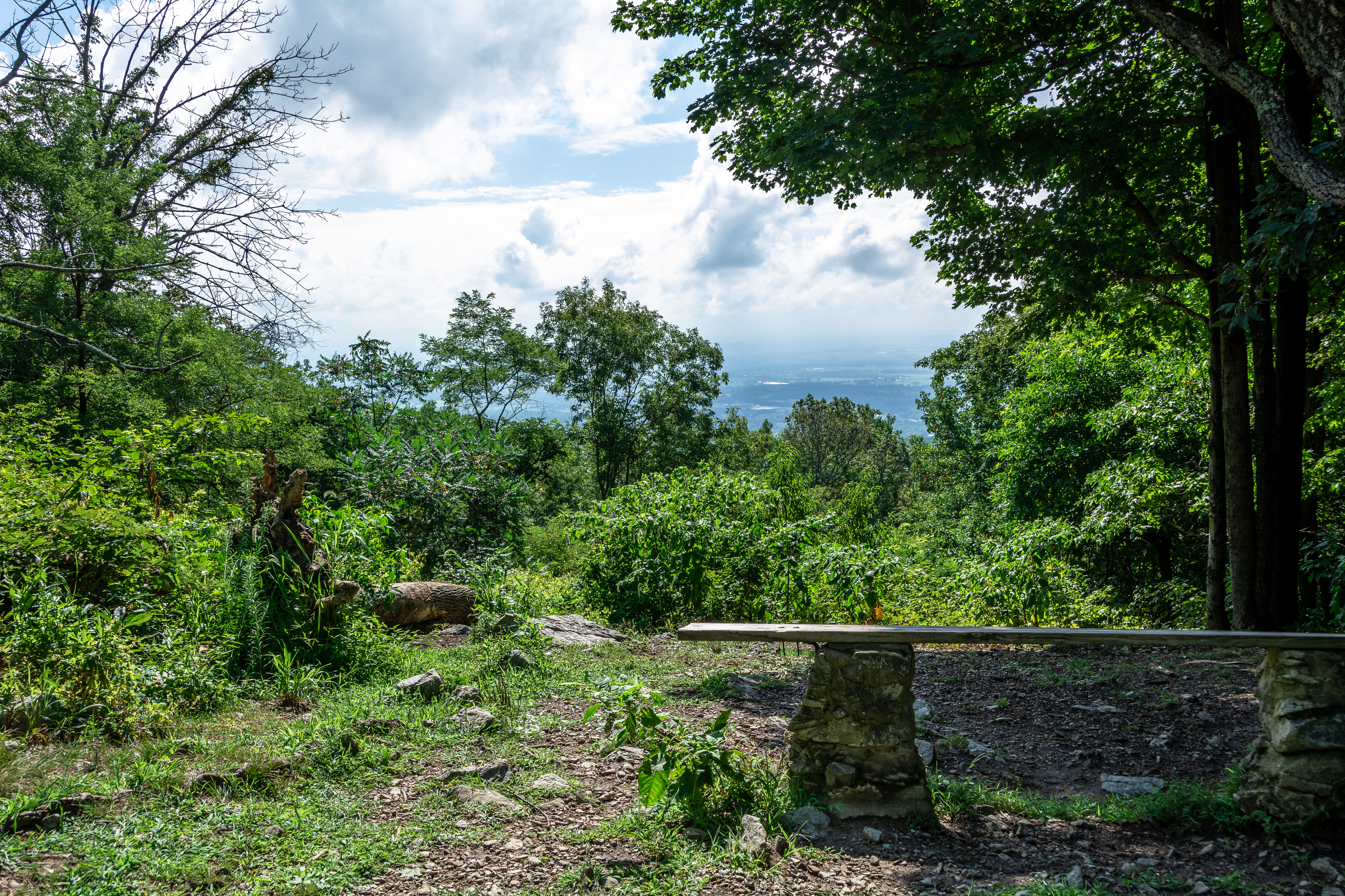
A climb to the summit of a mountain is always an energizing experience. The Thurmont Vista Loop, designated by a pink blaze, takes hikers through a moderate uphill and downhill trail network along the ridge for 2.5 miles. The maximum elevation reached on this trail/loop is at the Thurmont Vista Overlook with an elevation of 1499 feet.
Accessibility Thurmont Vista Trail This trail is not wheelchair accessible.
Trailheads Charcoal Trailhead 1,282 ft Drive there · Thurmont Vista Trailhead 1,286 ft Drive there
Views
Along the way Thurmont Vista
Trailheads Charcoal Trailhead 1,282 ft Drive there · Thurmont Vista Trailhead 1,286 ft Drive there
Trailheads Blue Ridge Summit Trailhead 1,541 ft Drive there · Hog Rock Trailhead 1,541 ft Drive there
The lines are the National Park Service's public trails layer, the trailheads and the waterfalls, views, peaks and historic places along them the Service's public points of interest, read 2026-10-14 and simplified for the map. The write-ups are the Service's own "things to do", unedited. Heights come from USGS 3DEP through Terrain Tiles on AWS (Mapzen/Tilezen), read along each line and rounded; a short trail on steep ground can be off by a few tens of feet. Closures change: check the park's own site before you go.