
National Preserve · Texas
Trails in Big Thicket National Preserve
26 named trails · 64 miles · 11 trailheads · 10 with the Park Service's own write-up. The lines, trailheads and points are the Park Service's; the write-ups are the Service's own words; the climbing is read from USGS elevation along each line.
26 trails, A to Z.
Baby Galvez to Hwy 96
Picnic areasBoat launches
Along the way Baby Galvez Rd Canoe Launch Hwy 96 Public Boat Ramp White Sand Beach Sandbar Day Use Area
Beaver Slide Trail
Trailhead Beaver Slide Trailhead 159 ft Drive there
Hike the Beaver Slide Trail the Park Service's write-up
30-60 Minutes · dogs allowed
Start Big Sandy Creek Unit | Segno, TX
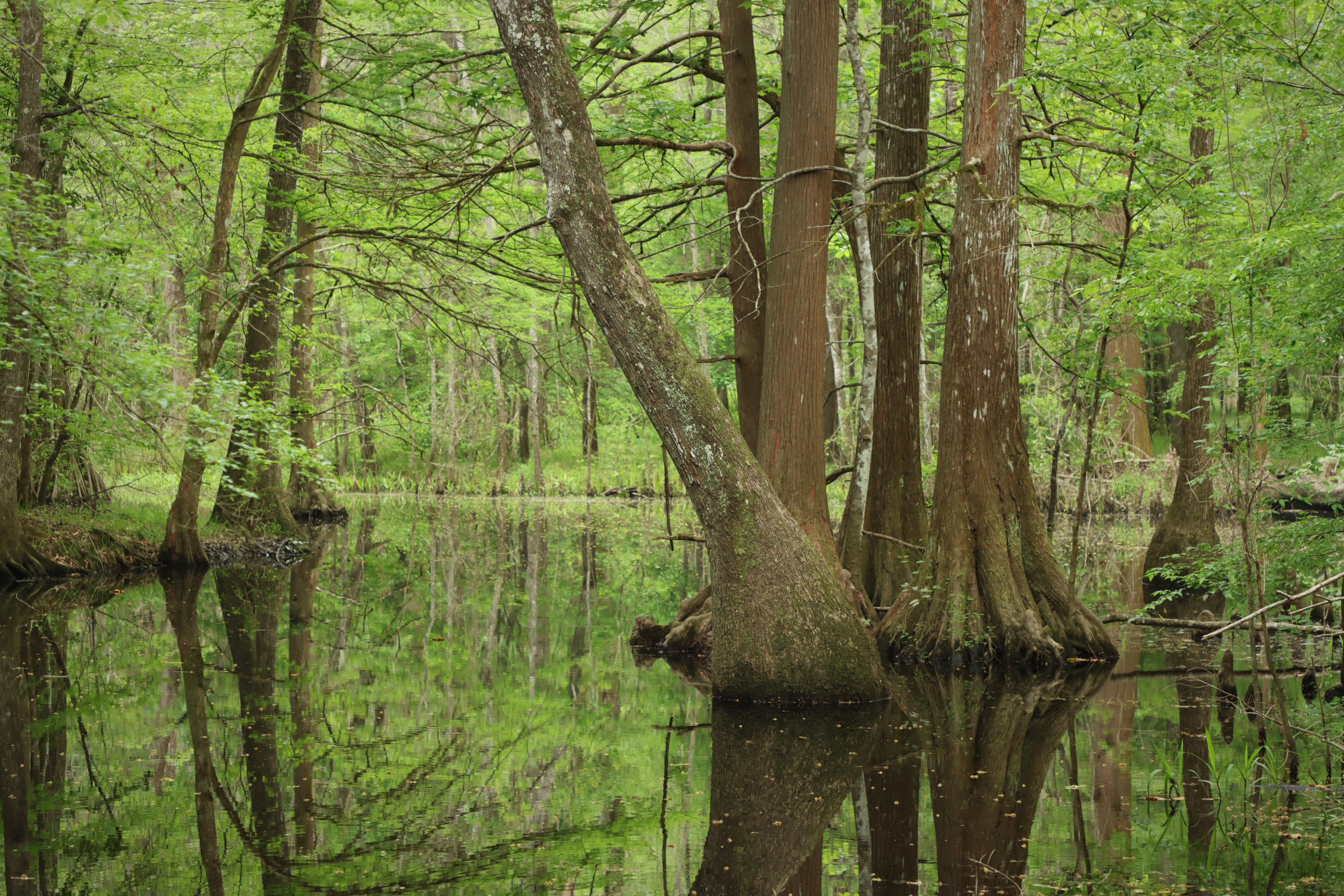
The Beaver Slide Trail is a hidden gem! See quiet ponds, sloughs, and Big Sandy Creek on this short hike.
Distance: 1 mile roundtrip
Type: Out-and-back and loop combination
Location: Big Sandy Creek Unit
Trailhead: Pullout on FM 943
Lat/Long: 30.573174, -94.642417
Overview
Begin the hike at the pullout along Farm to Market Road (FM) 943. From there, the trail descends into the woods, going over a few short wooden bridges to a scenic pond lined with bald cypress trees.
Shortly after going over some large, exposed tree roots, you reach the beginning of the loop section. Take a glance around to familiarize yourself with this intersection—it can be easily missed when returning to the trailhead.
Go left or right to begin the loop, then pass several more scenic sloughs and eventually reach a bend in Big Sandy Creek. When you reach the loop intersection again, return to the trailhead.
More Information
Download a trail map
No Signage: The Beaver Slide Trail currently does not have signage along the road or on trail.
Explore the Big Sandy Creek Unit
Accessibility The trail surface is composed of hard-packed soil, leaf litter, and wooden bridges. Hazards include large, exposed tree roots, as well as mud and puddles if it has rained recently. There is a downward grade at the beginning of the trail.
Beechwoods Trail
Picnic areas
Along the way Beech Woods Day Use Area
Trailhead Beech Woods Trailhead 194 ft Drive there
Hike the Beech Woods Trail the Park Service's write-up
1-2 Hours · dogs allowed
Start Beech Creek Unit | Spurger, TX
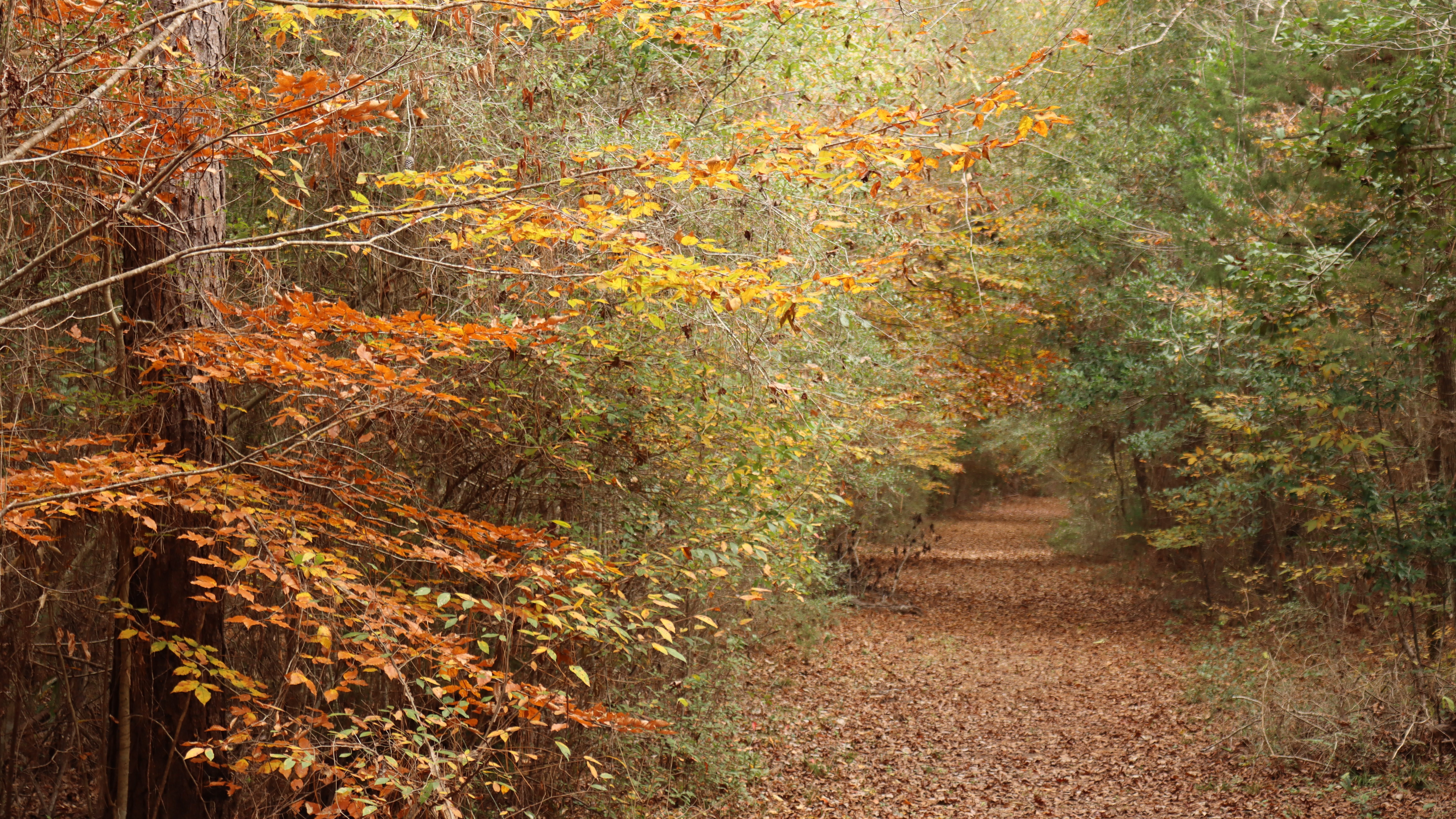
Big Thicket is at the extreme southwest limit of the American beech's native range. Hike through a shaded forest of beeches on this easy trail.
Distance: 1½ miles roundtrip
Type: Out-and-back and loop combination
Location: Beech Creek Unit
Trailhead: Parking lot on FM 2992
Lat/Long: 30.719469, -94.227299
Overview
The Beech Woods Trail begins at the parking lot on Farm to Market Road (FM) 2992. Walk past the metal gate and follow an old dirt road down a forested corridor until you reach a junction marked with a wooden trail sign. Turn right at the trail sign and follow the meandering trail through the woods. The next junction marks the beginning of the loop section; go left or right to continue.
After completing the loop, return the way you came.
More Information
Download a trail map
Explore the Beech Creek Unit
Accessibility The trail is mostly flat, on a leaf-covered dirt path and flat wooden bridges, and wide enough for a wheelchair. There are a few sections with exposed tree roots.
Big Sandy Trail
Picnic areas
Along the way Day Use Area
Trailhead Big Sandy Trailhead 255 ft Drive there
Hike the Big Sandy Trail the Park Service's write-up
dogs allowed
Start Big Sandy Creek Unit | Dallardsville, TX
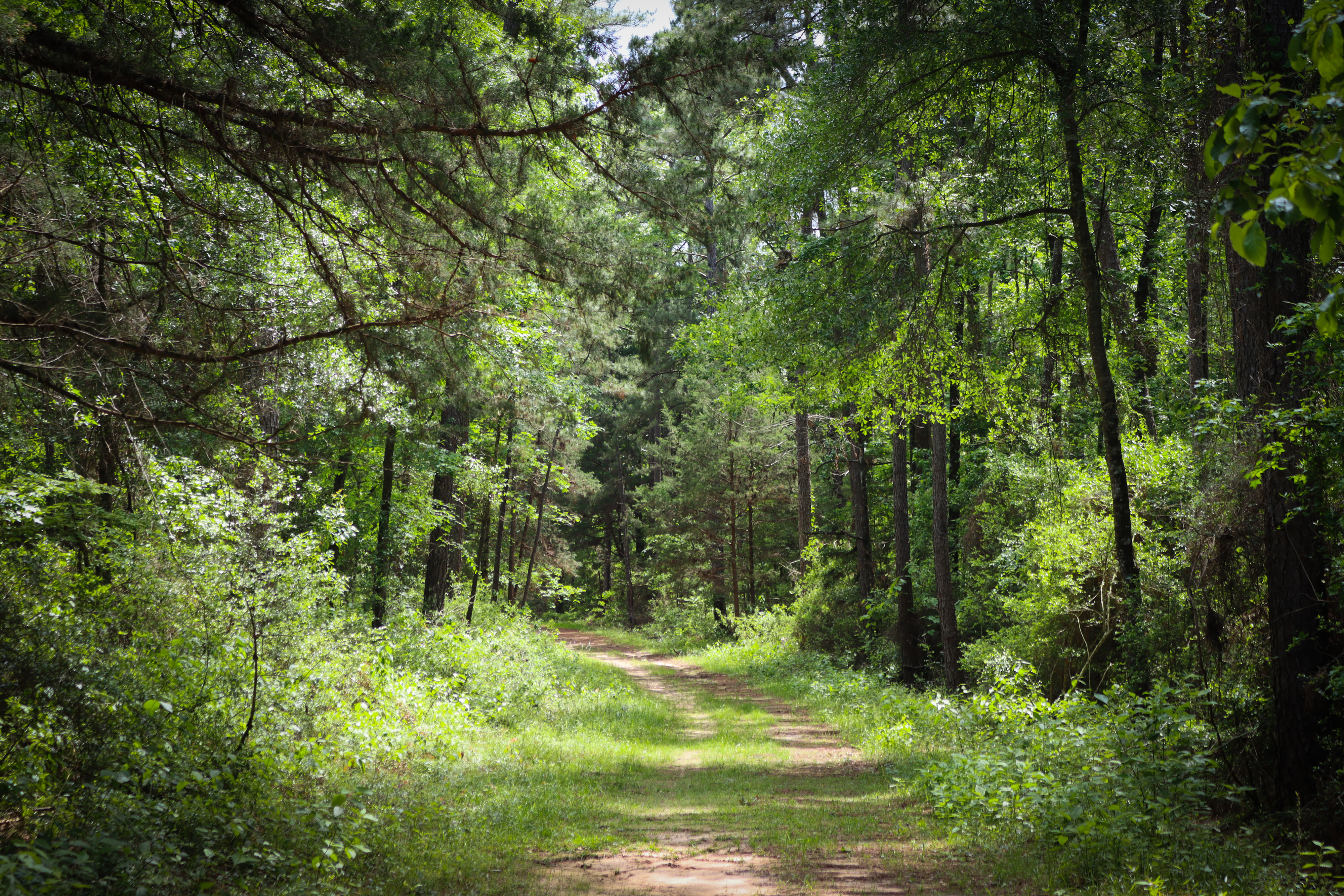
The Big Sandy Trail follows old logging roads that wind through the woods. This is the only trail in the preserve open to bicycles and horses.
Distance: 14.7 miles roundtrip
Type: Out-and-back and loop combination
Location: Big Sandy Creek Unit
Trailhead: Parking lot on Sunflower Road
Lat/Long: 30.614694, -94.671056
Overview
Big Sandy Trail has some elevation gain and loss as it follows gentle slopes. This trail is a great option for those looking to camp in the Big Thicket backcountry.
From the trailhead on Sunflower Road, walk past the metal gate next to the information kiosk to begin the hike. The trail intersects several old logging roads—follow the signs for the horse trail to stay on the main trail. Side paths may be explored on foot, but they are not maintained and may be overgrown.
At 3 miles, cross a bridge over Simmons Branch. This small tributary flows south to Big Sandy Creek. At 6.6 miles, the loop section begins. Go left or right to continue on the 1½-mile loop.
When you complete the loop, return 6.6 miles to the trailhead.
Safety
Hunting is allowed in the vicinity of the Big Sandy Trail from October 1 to February 28. Wear orange if you visit this trail during hunting season. The Big Sandy Trail is the only trail in Big Thicket National Preserve that goes through a hunting area.
More Information
Download a trail map
Explore the Big Sandy Creek Unit
Accessibility The Big Sandy Trail follows wide, old dirt roads. Trail users can expect to encounter tree roots, muddy stream crossings, and washboarded sections. While the grade is gentle, there are prolonged uphill and downhill sections.
Birdwatchers Trail
Picnic areas
Along the way Birdwatchers Trail Day Use Area
Trailhead Birdwatchers Trailhead 79 ft Drive there
Hike the Birdwatchers Trail the Park Service's write-up
30-60 Minutes · dogs allowed
Start Menard Creek Corridor Unit | Romayor, TX
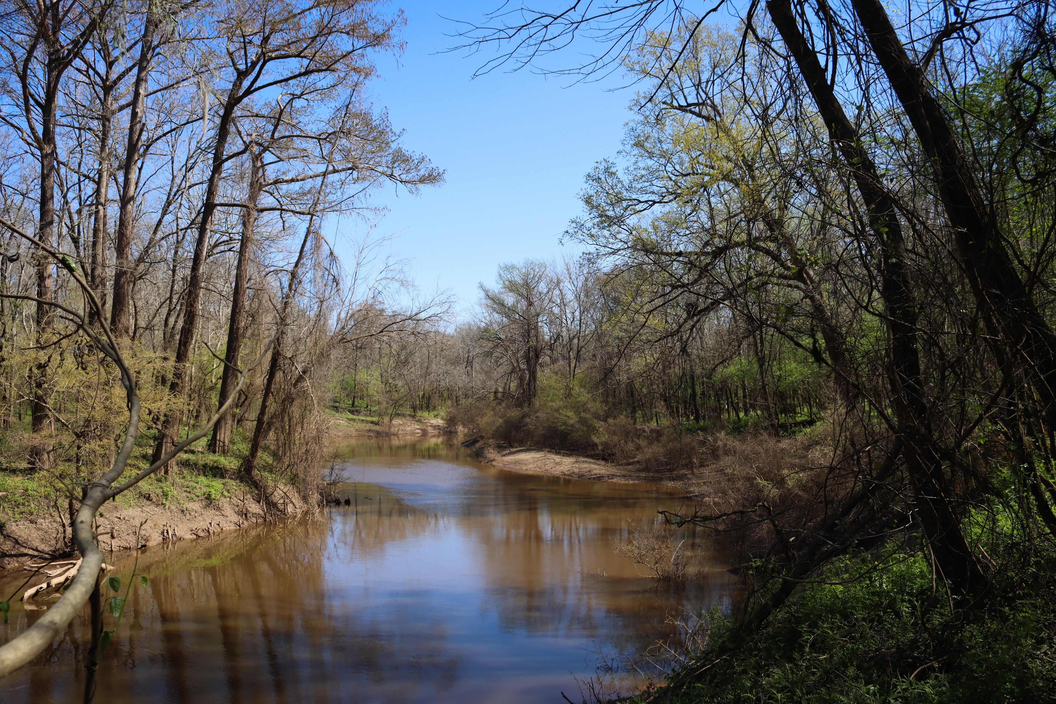
The Birdwatchers Trail leads past Menard Creek to a quiet spot to look for birds and see the Trinity River in the distance.
Distance: ¾ mile roundtrip
Type: Out-and-back
Location: Menard Creek Corridor Unit
Trailhead: Parking lot on Forest Park Lane
Lat/Long: 30.488579, -94.837222
Overview
Begin the hike at the parking lot on Forest Park Lane, marked with a picnic table.
Shortly into the hike, a side trail leads to the right (north) to a view of Menard Creek. After enjoying the view, return to the trail and continue through the woods.
The trail ends at a picnic table with views of the Trinity River, an important migration route for birds . When ready to return to the trailhead, retrace your steps.
More Information
Explore the Menard Creek Corridor Unit
Accessibility The trail is generally flat with a short decline near the beginning. Hikers may encounter large puddles and mud on the trail even if it has not rained for several days. The trail ends at a picnic table in a grassy area.
Collier's Ferry to Lake Bayou Paddling Trail
Boat launches
Along the way Pine St Boat Launch / Collier's Ferry (Non-NPS)
Cooks Lake to Scatterman Paddling Trail
Picnic areasBoat launches
Along the way Confluence Boat Launch Neches River Salt Water Barrier Public Boat Launch Confluence Day Use Area
FM 327 to Baby Galvez
Boat launches
Along the way Baby Galvez Rd Canoe Launch
FM 418 to FM 327
Boat launches
Along the way FM418 Public Boat Ramp (Non-NPS)
Hwy 96 to Village Creek State Park
Boat launches
Along the way Hwy 96 Public Boat Ramp
Kirby Nature Trail
Picnic areas
Along the way Day Use Area
Trailhead Kirby Nature Trailhead (Staley Cabin) Day Use Area 100 ft Drive there
Hike the Kirby Nature Trail the Park Service's write-up
1-2 Hours · dogs allowed
Start Turkey Creek Unit | Kountze, TX
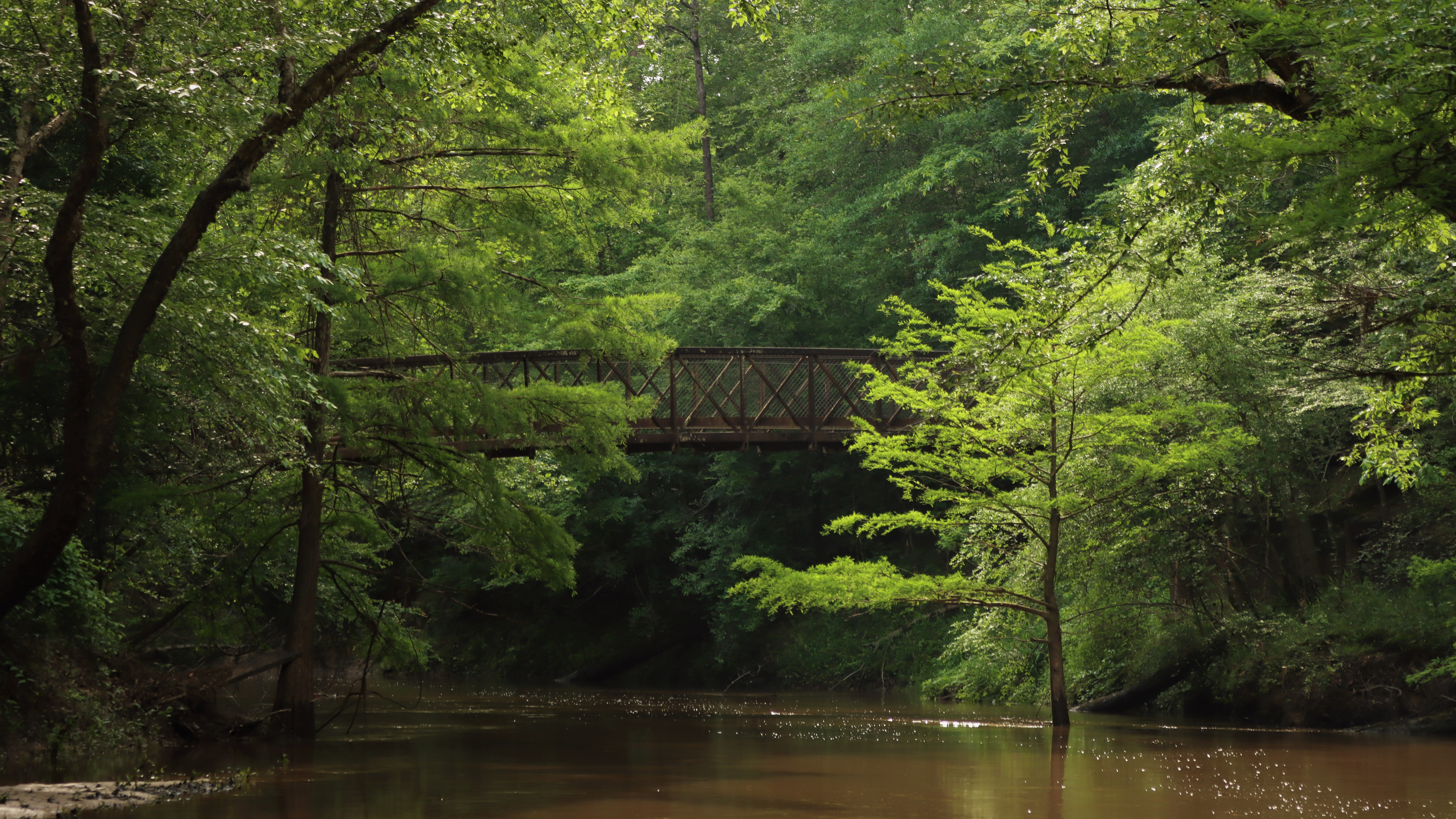
This is a great loop hike to see dense thicket, a bald cypress slough, and Village Creek. Connect with the Turkey Creek and Sandhill Loop trails for a longer hike.
Distance: 1½ to 2½ miles roundtrip
Type: Loop
Location: Turkey Creek Unit
Trailhead: Parking lot on FM 420
Lat/Long: 30.462122, -94.350825
Overview
The Kirby Nature Trail has 3 loops: 1½-mile inner loop, 0.3-mile cypress loop, and 0.9-mile outer loop. Combine them all into one big loop for a 2½-mile loop hike.
The trail begins on Farm to Market Road (FM) 420 next to historic Staley Cabin . Go past the kiosk and down the wooden ramp to reach the first junction at the start of the inner loop. Turn left to go clockwise and descend a gentle slope with a canopy of beech, magnolia, and loblolly pine overhead.
After crossing a few wooden bridges, head left on the cypress loop to see a slough of large bald cypress trees and knees. If the water is high, take the high water bypass to skip the cypress loop.
Continuing clockwise from the cypress loop, the inner loop follows Village Creek. At the next junction, the right fork takes the inner loop back south toward the trailhead. The left fork begins the outer loop and immediately enters a picnic area next to an iron bridge over Village Creek*. Continue past the bridge on the outer loop as it meanders clockwise and eventually meets up with the inner loop and trailhead.
*Extend Your Hike!
Add an extra 3 miles roundtrip: Combine the Turkey Creek and Sandhill Loop trails with Kirby to make a 4½- or 5½-mile loop and out-and-back combination. The Sandhill Loop features a forest of tall longleaf pines, scattered cacti, and solitude.
Cross the iron bridge over Village Creek to begin the Turkey Creek Trail. After 0.8 miles, cross a second iron bridge, over Turkey Creek. The Sandhill Loop Trail begins on the opposite (east) side of the bridge.
Go right or left to begin the 1.4-mile Sandhill Loop. On the north end of the loop, there is another junction with the northbound Turkey Creek Trail, marked with a bench—go past it to continue on the Sandhill Loop. When you return to the iron bridge over Turkey Creek, cross it and follow the Turkey Creek Trail south to return to the Kirby Nature Trail and the trailhead.
More Information
Download a trail map
Get a Kirby Nature Trail Guide at the visitor center for a small fee.
Explore the Turkey Creek Unit
Accessibility The 1.5-mile inner loop is accessible and wide enough for a wheelchair. It's mostly flat with a gentle downhill grade at the start. Surfaces include wooden boardwalks and dirt; both can be slippery following heavy rain.
Hike to the Sandhill Loop Trail the Park Service's write-up
2-8 Hours · dogs allowed
Start Turkey Creek Unit | Kountze, TX

The Sandhill Loop Trail offers solitude in an unusual arid sandyland ecosystem that is home to longleaf pine and prickly pear cactus.
Distance: 4½ to 9.4 miles roundtrip
Type: Out-and-back and loop combination
Location: Turkey Creek Unit
Trailhead: 2 options— see below
Overview
The Sandhill Loop Trail is a 1.4-mile loop but to reach it you will need to hike 4½ to 9.4 miles roundtrip via one of two options:
Option A: From the South
4½ miles roundtrip via Kirby Nature Trail and Turkey Creek Trail
Trailhead: Kirby Nature Trail on FM 420
Lat/Long: 30.462122, -94.350825
This route begins on FM 420 and follows the Kirby Nature Trail and Turkey Creek Trail north to the Sandhill Loop Trail. Depending on which Kirby loop you choose, you can make this a 4½- or 5½-mile hike.
Begin the Kirby Nature Trail next to Staley Cabin. Go left on the loop to head north on the inner loop. On the north side of the loop, there is a picnic area next to an iron bridge that crosses Village Creek. Cross the bridge to begin the Turkey Creek Trail. After 0.8 miles on the Turkey Creek Trail, cross another iron bridge and begin the Sandhill Loop Trail.
Go right or left to begin the 1.4-mile Sandhill Loop. On the north end of the loop, there is another junction with the northbound Turkey Creek Trail, marked with a bench—go past it to continue on the Sandhill Loop. When you return to the iron bridge, cross it and follow the Turkey Creek Trail south to return to the Kirby Nature Trail and the trailhead.
Option B: From the North
9.4 miles roundtrip via Turkey Creek Trail
Trailhead: Turkey Creek Trail (southbound) on Gore Store Road
Lat/Long: 30.521094, -94.343759
This route begins on Gore Store Road and follows the Turkey Creek Trail southbound to the Sandhill Loop Trail.
After 4 miles on the Turkey Creek Trail, you reach the beginning of the Sandhill Loop Trail, marked with a couple of benches. Head left to go clockwise and explore a forest of longleaf pine with a few scattered patches of prickly pear cactus.
After completing the loop, return the way you came.
More Information
Download a trail map
Explore the Turkey Creek Unit
Accessibility The trail surface is hard-packed dirt, covered in leaves, with several wooden bridges. The trail is generally flat with some hilly sections. Hikers may encounter mud and/or flooding if it has rained significantly recently.
Kirby Nature Trail - Cypress Loop
Kirby Nature Trail - Inner Loop
Kirby Nature Trail - Outer Loop
Kirby Nature Trail High Water Cutoff
Kirby Nature Trail Outer Loop
Longleaf Pine Trail
Picnic areasVisitor centers
Along the way Day Use Area Big Thicket Visitor Center
Hike the Longleaf Pine Trail the Park Service's write-up
30-60 Minutes · dogs allowed
Start Turkey Creek Unit | Kountze, TX
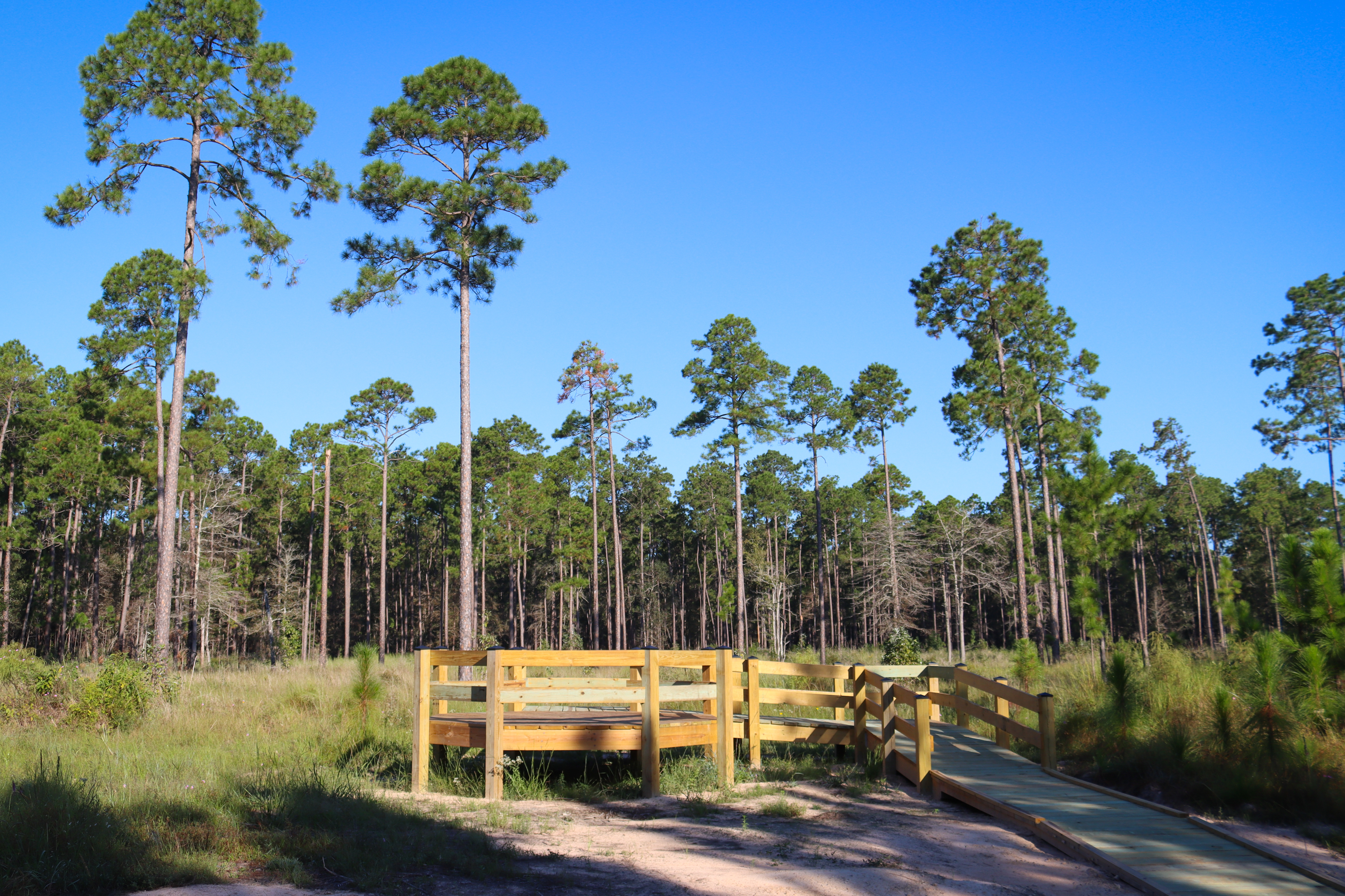
Opened in 2024, the Longleaf Pine Trail begins at the visitor center and leads to a viewing platform in a young longleaf pine forest.
Distance: 1 mile roundtrip
Type: Out-and-back
Location: Turkey Creek Unit
Trailhead: Visitor center parking lot on FM 420
Lat/Long: 30.458335, -94.387404
Overview
To begin, follow the boardwalk from the visitor center parking lot toward park headquarters. Trail signs point the way; head to the right along the service road, go past the maintenance yard, then go left to where the trail begins at the edge of the woods.
From here, follow the winding path through shady forest, over small bridges, and eventually to a sunny, open longleaf pine forest. Eventually the trail meets an old road; turn right (south) along the road until you reach the newly-constructed observation platform.
A little further past the platform, a 3-sided display provides information about the preserve's ongoing longleaf pine restoration project. Many of the young longleaf pines in this area were planted by volunteers.
To return to the visitor center, retrace your steps.
More Information
Download a trail map
The visitor center parking lot is open 9:00 am–5:00 pm daily. After hours, park along FM 420 (do not block gates).
Explore the Turkey Creek Unit
Accessibility The trail is generally flat, with a few minor ups and downs. Trail surfaces include gravel road, hard-packed soil covered in leaves, and wood boardwalks. The old road section of the trail may be muddy if it has rained recently.
Pitcher Plant Trail
Picnic areas
Along the way Pitcher Plant Day Use Area
Trailhead Pitcher Plant Trail 124 ft Drive there
Hike the Pitcher Plant Trail the Park Service's write-up
1-2 Hours · dogs allowed
Start Turkey Creek Unit | Warren, TX

Walk this easy loop to see a natural garden of carnivorous pitcher plants and tall pines above.
Distance: 1 mile roundtrip
Type: Loop
Location: Turkey Creek Unit
Trailhead: Parking lot on County Road 4850
Lat/Long: 30.582233, -94.336456
Overview
Follow the paved path beginning next to the kiosk. The first ¼ mile passes through a forest of longleaf pines. As you walk, look for burn scars on the pines—this section is intentionally burned every few years to encourage new tree growth. Longleaf pines are able to survive low-intensity fires that burn the leaf litter on the forest floor.
The wooden boardwalk begins at the entrance to the pitcher plant bog, where you can see hundreds of carnivorous plants in spring and summer. Pitcher plants are easy to spot, while tiny sundews and butterworts are harder to find.
After the boardwalk ends, the trail heads into the woods where it joins the Turkey Creek Trail for a short distance before looping back to the trailhead. Keep making left turns to continue counter-clockwise on the Pitcher Plant Trail.
More Information
Download a trail map
Hike carnivorous plant trails
Explore the Turkey Creek Unit
Accessibility The Pitcher Plant Trail is generally flat. The first ¼ mile is a mixture of pavement and wooden boardwalk through the pitcher plant bog. Beyond the boardwalk, the trail is a dirt and leaf-covered path, which can get muddy following heavy rain. Watch for exposed tree roots.
Sundew Trail
Picnic areas
Along the way Sundew Trail Day Use Area
Trailhead Sundew Trailhead 125 ft Drive there
Hike the Sundew Trail the Park Service's write-up
1-2 Hours · dogs allowed
Start Hickory Creek Savannah Unit | Warren, TX
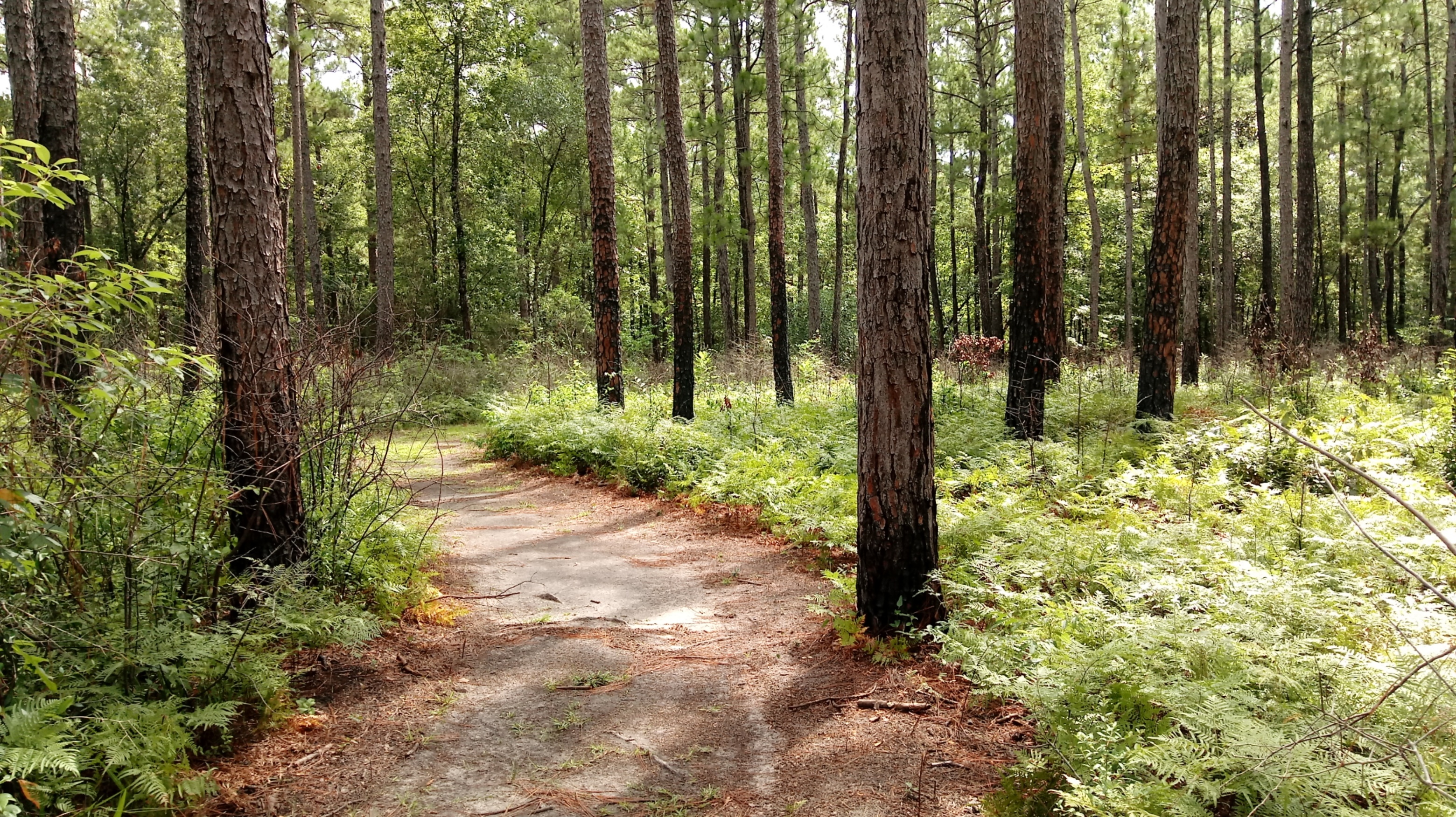
Take a walk through a wetland pine savannah on the Sundew Trail to look for birds, longleaf pines, and carnivorous plants. The pavilion at the trailhead is a great place to have a picnic in the park!
Distance: 0.3 to 1 mile roundtrip
Type: Loop
Location: Hickory Creek Savannah Unit
Trailhead: Parking lot on County Road 1910
Lat/Long: 30.548225, -94.409754
Overview
From the trailhead, follow the paved path clockwise to reach a boardwalk through a small bog. In spring and summer, look for carnivorous plants here: tall, funnel-shaped pitcher plants and coin-sized, red sundews.
Continue along the boardwalk to an open pipeline right-of-way. Sundews grow abundantly among the mowed grasses on the right-of-way during winter and spring. At the right-of-way, go right to continue on the inner loop or cross the pipeline and go left to follow the outer loop through a longleaf pine forest.
Both loop options return to the trailhead.
Picnic Area
Bring lunch! The trailhead has a shaded pavilion with 4 picnic tables, 2 metal grills, and a vault toilet.
More Information
Download a trail map
Explore the Hickory Creek Savannah Unit
Accessibility The wheelchair-accessible inner loop has a mix of pavement and wooden boardwalks. The outer loop is a dirt path and can get muddy after heavy rain.
Sundew Trail - Inner Loop
Picnic areas
Along the way Sundew Trail Day Use Area
Trailhead Sundew Trailhead 125 ft Drive there
Sundew Trail - Outer Loop
Picnic areas
Along the way Sundew Trail Day Use Area
Trailhead Sundew Trailhead 125 ft Drive there
Turkey Creek Trail
Picnic areas
Along the way Day Use Area North Turkey Creek Day Use Area South Turkey Creek Day Use Area
Trailheads Turkey Creek Day Use Area 85 ft Drive there · Turkey Creek Day Use Area 85 ft Drive there · Turkey Creek Trail - FM1943 Trailhead 136 ft Drive there
Hike the Turkey Creek Trail the Park Service's write-up
dogs allowed
Start Turkey Creek Unit | Warren and Kountze, TX
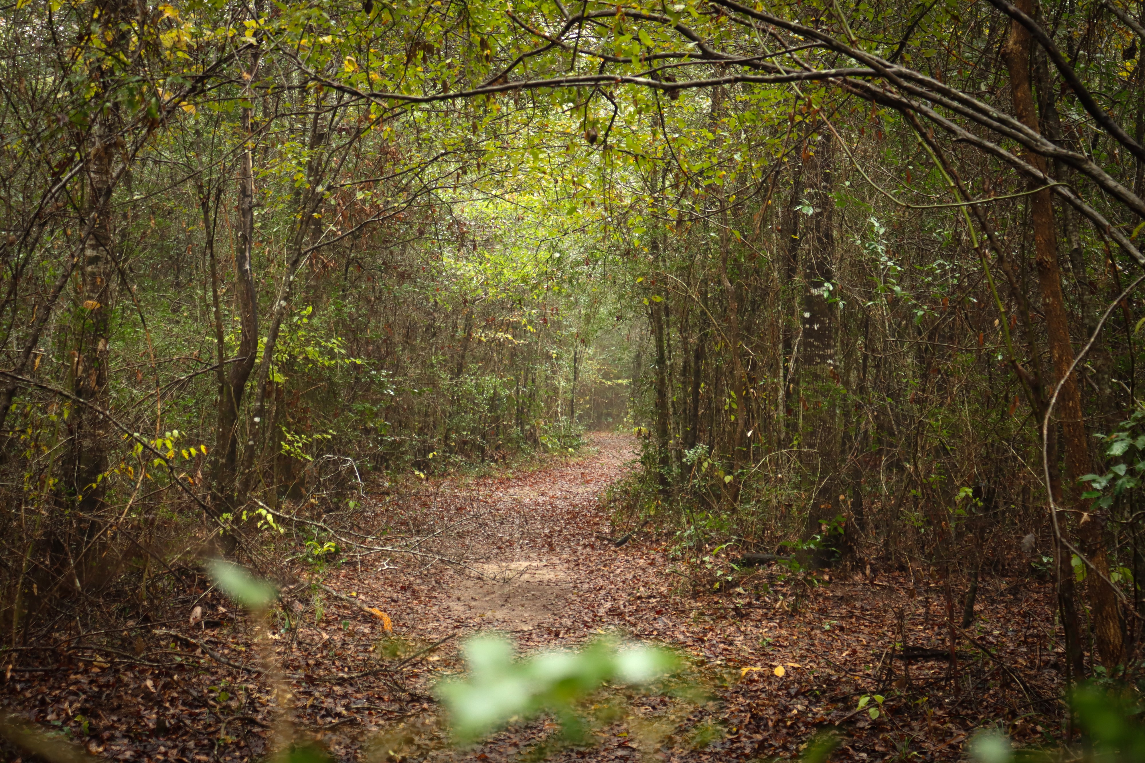
The Turkey Creek Trail leads into the backcountry of the Turkey Creek Unit, connecting with several trails along the way.
Distance: 14 miles one-way
Type: Out-and-back
Location: Turkey Creek Unit
Trailhead: Several options— see below
Overview
You can begin the Turkey Creek Trail at several trailheads, listed here from north to south:
Farm to Market Road 1943
3 miles one-way between FM 1943 and Pitcher Plant Trail
Trailhead: Parking lot on FM 1943
Lat/Long: 30.613495, -94.344206
Farm to Market Road (FM) 1943 is the northern terminus of the Turkey Creek Trail. For a 7-mile roundtrip hike, begin here and hike 3 miles south to the Pitcher Plant Trail. Look for carnivorous pitcher plants in spring and summer on the 1-mile loop, then return to FM 1943.
Pitcher Plant Trail
3.4 miles one-way between Pitcher Plant Trail and County Road 4825
Trailhead: Parking lot on County Road 4850
Lat/Long: 30.582233, -94.336456
The Turkey Creek Trail runs concurrent with the Pitcher Plant Trail loop for a short distance. South of Pitcher Plant Trail, the Turkey Creek Trail closely follows Turkey Creek for 3.4 miles until meeting County Road 4825. Parts of this section may be flooded following heavy rains.
County Road 4825
2.7 miles one-way between County Road 4825 and Gore Store Road
Trailhead: Pullout along County Road 4825
Lat/Long: 30.551140, -94.332550
The Turkey Creek Trail crosses Turkey Creek at County Road (CR) 4825, then heads south along the west bank of the creek for 2.7 miles to Gore Store Road. The trail crossing at CR 4825 has no facilities and parking is limited.
Gore Store Road
5.8 miles one-way between Gore Store Road and FM 420
Trailhead: 2 parking lots on Gore Store Road
Lat/Long:
Northbound: 30.522098, -94.346870
Southbound: 30.520944, -94.343806
Gore Store Road has 2 trailheads; the northbound trailhead is on the west side of Turkey Creek while the southbound trailhead is on the east side. From here, hikers can head south for about 4 miles to reach the Sandhill Loop Trail, and eventually the Kirby Nature Trail at 5 miles. From Kirby, hike 0.8 mile to reach the trailhead on FM 420.
Kirby Nature Trail
Trailhead: Parking lot on FM 420
Lat/Long: 30.462122, -94.350825
The Kirby Nature Trail connects to the southern terminus of the Turkey Creek Trail at the Village Creek Bridge. The Kirby inner loop is the most direct route between the Turkey Creek Trail and the trailhead on FM 420.
More Information
Download a trail map
Explore the Turkey Creek Unit
Accessibility Trail surfaces include hard packed soil and leaves and wooden boardwalks. The trail is generally flat with some minor ups and downs. Hazards include exposed tree roots and muddy sections if it has rained recently.
Turkey Creek Trail - Sandhill Loop
Turkey Creek Trail/Pitcher Plant Trail
Woodlands Trail
Picnic areas
Along the way Woodlands Day Use Area
Trailhead Woodlands Trailhead 229 ft Drive there
Hike the Woodlands Trail the Park Service's write-up
2-4 Hours · dogs allowed
Start Big Sandy Creek Unit | Dallardsville, TX
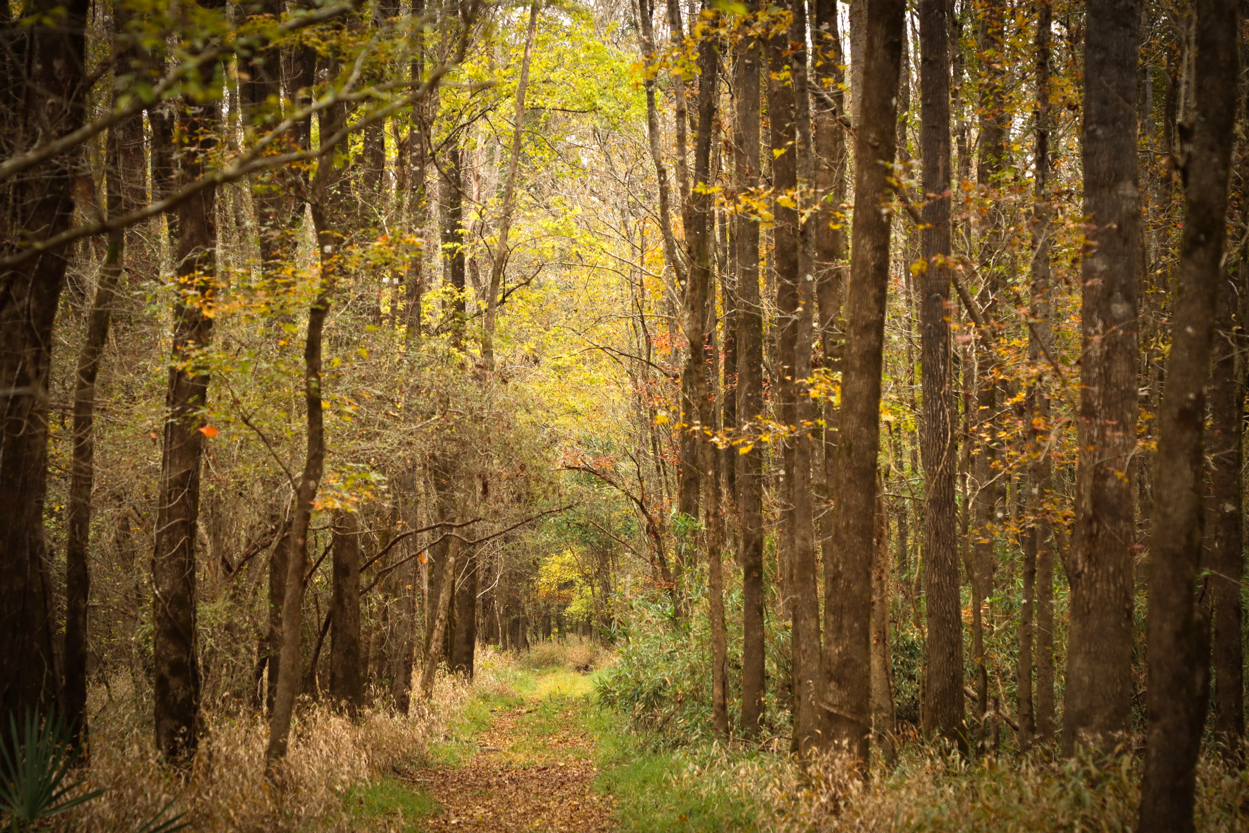
The Woodlands Trail is a pleasant loop hike through different kinds of forest scenery in the northwest corner of the Big Thicket. Short hills add a few ups and downs to this shaded hike.
Distance: 5 miles roundtrip
Type: Out-and-back and loop combination
Location: Big Sandy Creek Unit
Trailhead: Parking lot on FM 1276
Lat/Long: 30.679593, -94.699424
Overview
The Woodlands Trail has loop options of 3, 4¼, and 5 miles roundtrip.
Start at the trailhead on Farm to Market Road (FM) 1276 and follow the trail signs past the information kiosk. Near Collins Pond, cross a pipeline right-of-way and continue into the forest.
Go over a few short bridges through a floodplain until you arrive at a bench marking the beginning of the loop section. The left fork climbs through a hilly pine forest while the right fork follows Big Sandy Creek. There are 2 cutoff trails in the middle of the loop that shorten the loop to 3 and 4¼ miles.
Some of the junctions have a bench with a map that indicates your current position. When you return to the beginning of the loop, follow the out-and-back section to return to the trailhead.
More Information
Download a trail map
Explore the Big Sandy Creek Unit
Accessibility Trail surfaces include hard-packed soil, leaves, and wooden bridges. This trail has some elevation gain and loss on the west side of the loop. There are several sections there where the trail is deeply rutted. Expect muddy conditions on the portion of trail along Big Sandy Creek if it has rained recently.
About these trails
The lines are the National Park Service's public trails layer, the trailheads and the waterfalls, views, peaks and historic places along them the Service's public points of interest, read 2026-10-14 and simplified for the map. The write-ups are the Service's own "things to do", unedited. Heights come from USGS 3DEP through Terrain Tiles on AWS (Mapzen/Tilezen), read along each line and rounded; a short trail on steep ground can be off by a few tens of feet. Closures change: check the park's own site before you go.