
Big Loop Trail
Picnic areasVisitor centers
Along the way Picnic Area Bent's Old Fort
Trailheads Trailhead 4,004 ft Drive there · Trailhead 4,006 ft Drive there
Hiking along the Arkansas River the Park Service's write-up
30-90 Minutes · dogs allowed · entrance fee applies
Start Bent's Old Fort National Historic Site
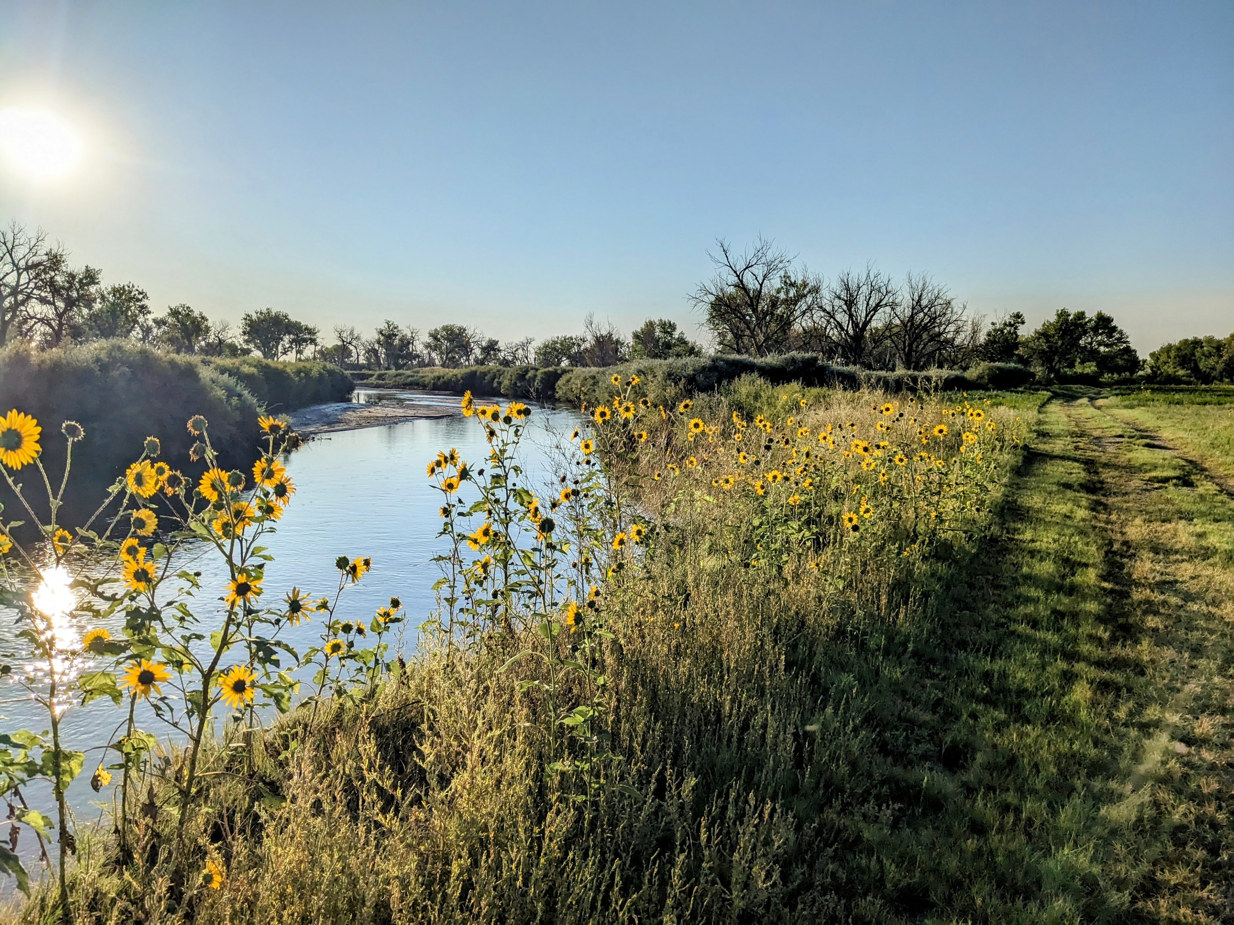
Bent's Old Fort National Historic Site offers hikers access to the reconstructed fort and historic grounds. Multiple opportunities for bird watching exist along the 1-3/4 mile looping trail system. Visitors can enjoy meandering beside the Arkansas River among the blue grama and buffalo grasses hemmed by cottonwood groves all year round. The pinks and yellows of the showy milkweed and prairie sunflower bring the trail to life in late spring and summer. Our wetlands provide cover and habitat for several local and migratory bird species such as ring-necked pheasant, turkey, snow geese and American coot. You will likely hear the call of red-winged black birds and meadowlarks or spot a northern harrier overhead while you visit. Interpretive wayside panels are dispersed throughout the length of the trail and highlight the importance of the Arkansas River's ecosystem to the communities living near Bent's Fort nearly two hundred years ago. The loop trail can be accessed at either the visitor parking area or at the gate installed on the southside of the fort structure.
Accessibility The mostly level hiking trail is paved and accessible for a 1/4 mile (1,275 feet) walk each way from the visitor parking lot to the reconstructed fort. The rest of the trail is dirt and gravel. The total distance of the big trail loop (including the paved section) is 1.75 miles.