28 named trails · 48 miles · 19 trailheads · 9 with the Park Service's own write-up. The lines, trailheads and points are the Park Service's; the write-ups are the Service's own words; the climbing is read from USGS elevation along each line.
1.0 mi one way · about 250 ft of climbing · 8,896 ft–9,165 ft · native surface · hiking
TrailheadAlamo Boundary Trail 8,892 ft Drive there
Alamo Boundary Trail the Park Service's write-up
2-3 Hours · no dogs · entrance fee applies · Spring, Summer, Fall
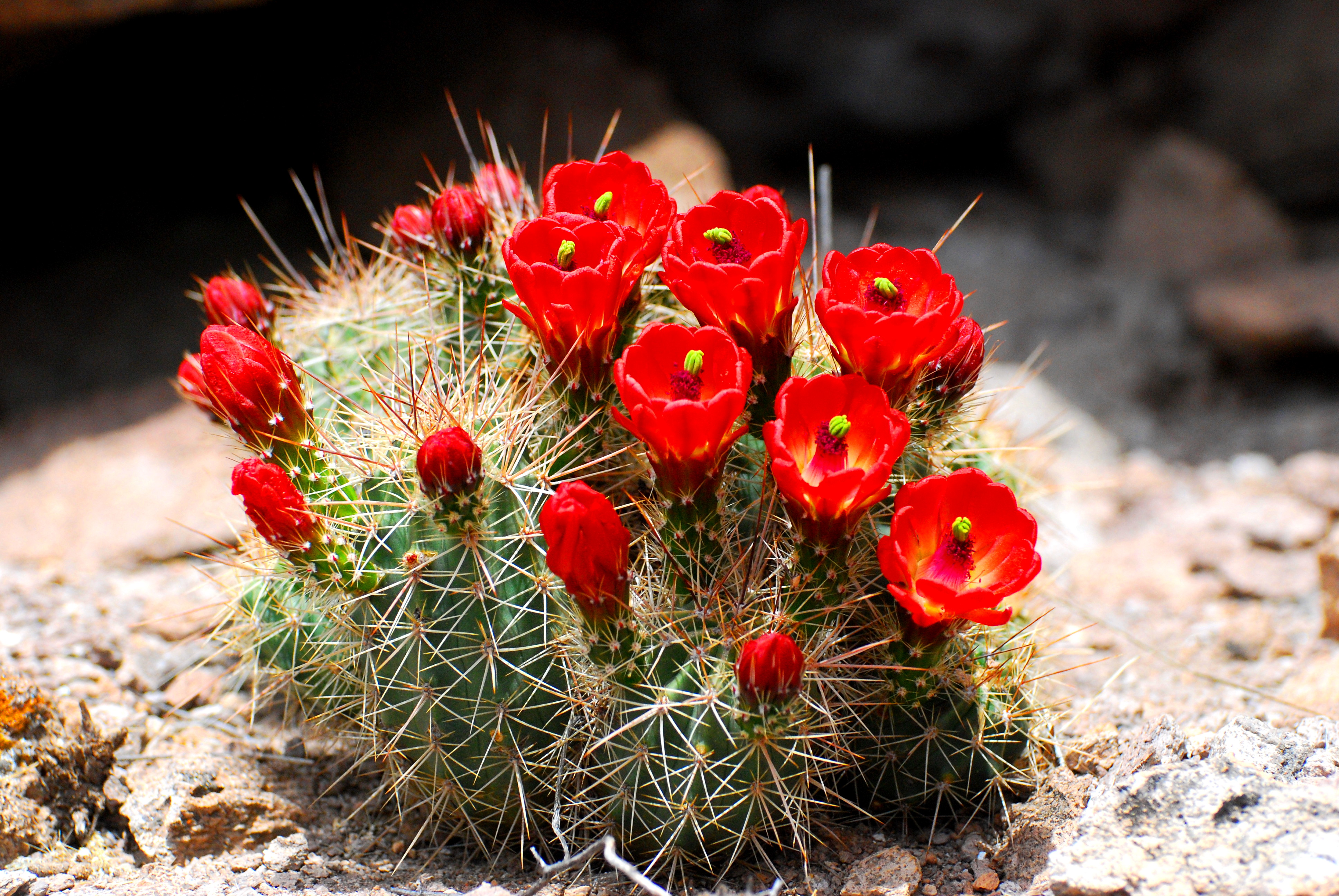
Claret Cup Cactus blooms near the Alamo Boundary Trail. Photo: NPS
Alamo Boundary Trail is a relatively easy hike from FS 289 to the boundary between the monument and the Valles Caldera National Preserve. The trail is only 1.3 miles each way but it also connects with the Coyote Call Trail on the Valles Caldera. Elevation change on the Alamo Boundary Trail is only 400'. This a trail is a great place for solitude.
The road to access this trail is closed during winter.
Accessibility The Alamo Boundary Trail is considered easy and is accessible to service animals.
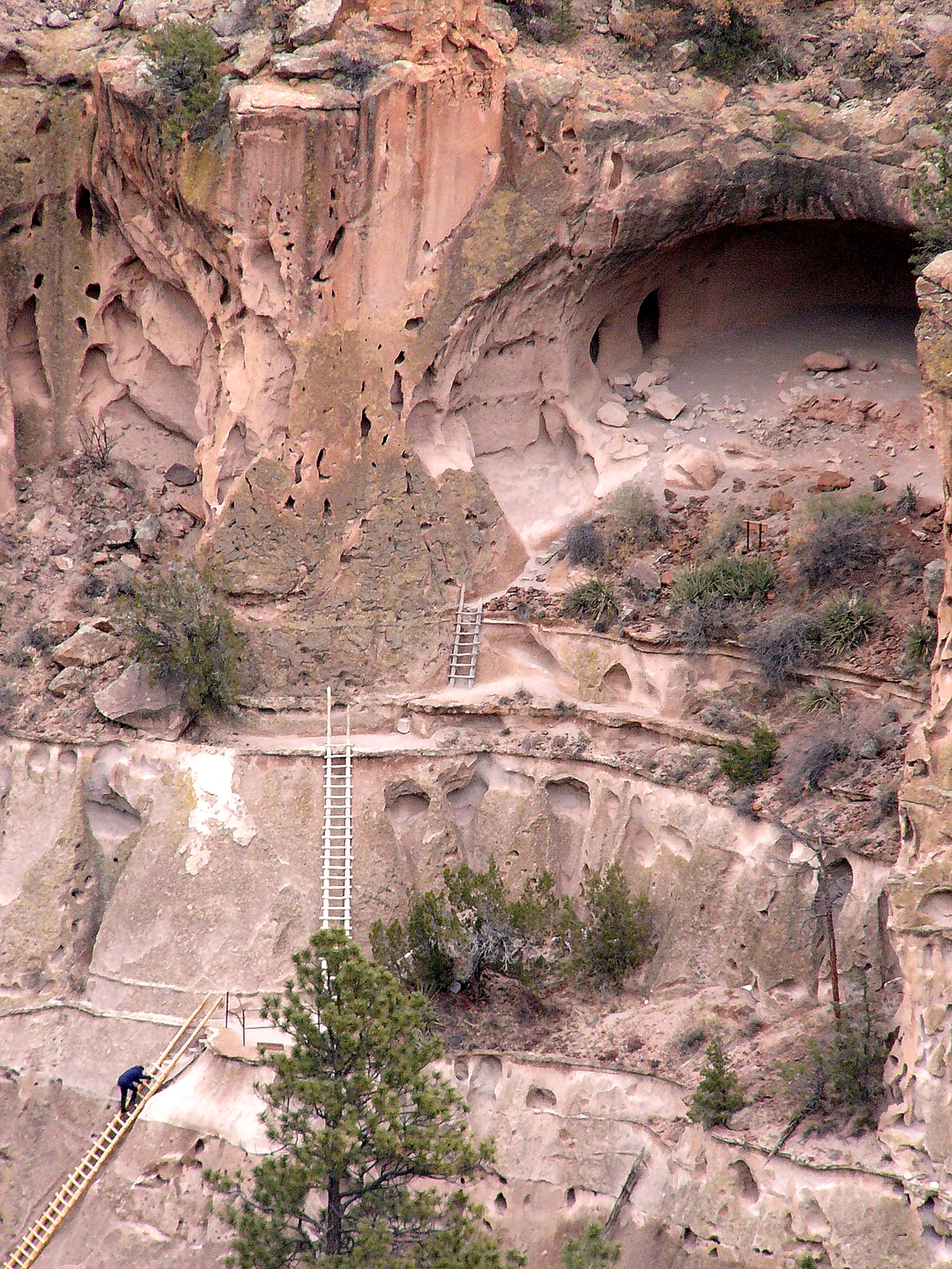
Visitors climb ladders to reach Alcove House. Photo: NPS
Half way through the Pueblo Loop Trail, a choice must be made; turn back toward the visitor center or continue another half mile each way (1 mile round trip) to Alcove House. Alcove House is located 140 feet above the floor of Frijoles Canyon. The elevated site is now reached by 4 wooden ladders and a number of stone stairs.
CLOSURES
Alcove house may close in the winter due to snow and ice. Occasionally it will close for routine maintenance or resource management work. A sign at the base of the stairs will indicate if Alcove House is closed. Check at the visitor center for details
Accessibility The Alcove House Trail is mostly composed of packed dirt and gravel. There are footbridges to cross that are not ideal for wheelchairs and strollers. The ladders are steep and only recommended for people in good physical shape. It may be extremely difficult for service animals to traverse Alcove House's ladders.
0.6 mi one way · about 80 ft of climbing · 6,136 ft–6,208 ft · native surface · hiking
Alcove House the Park Service's write-up
no dogs · entrance fee applies
Visitors climb ladders to reach Alcove House. Photo: NPS
Half way through the Pueblo Loop Trail, a choice must be made; turn back toward the visitor center or continue another half mile each way (1 mile round trip) to Alcove House. Alcove House is located 140 feet above the floor of Frijoles Canyon. The elevated site is now reached by 4 wooden ladders and a number of stone stairs.
CLOSURES
Alcove house may close in the winter due to snow and ice. Occasionally it will close for routine maintenance or resource management work. A sign at the base of the stairs will indicate if Alcove House is closed. Check at the visitor center for details
Accessibility The Alcove House Trail is mostly composed of packed dirt and gravel. There are footbridges to cross that are not ideal for wheelchairs and strollers. The ladders are steep and only recommended for people in good physical shape. It may be extremely difficult for service animals to traverse Alcove House's ladders.
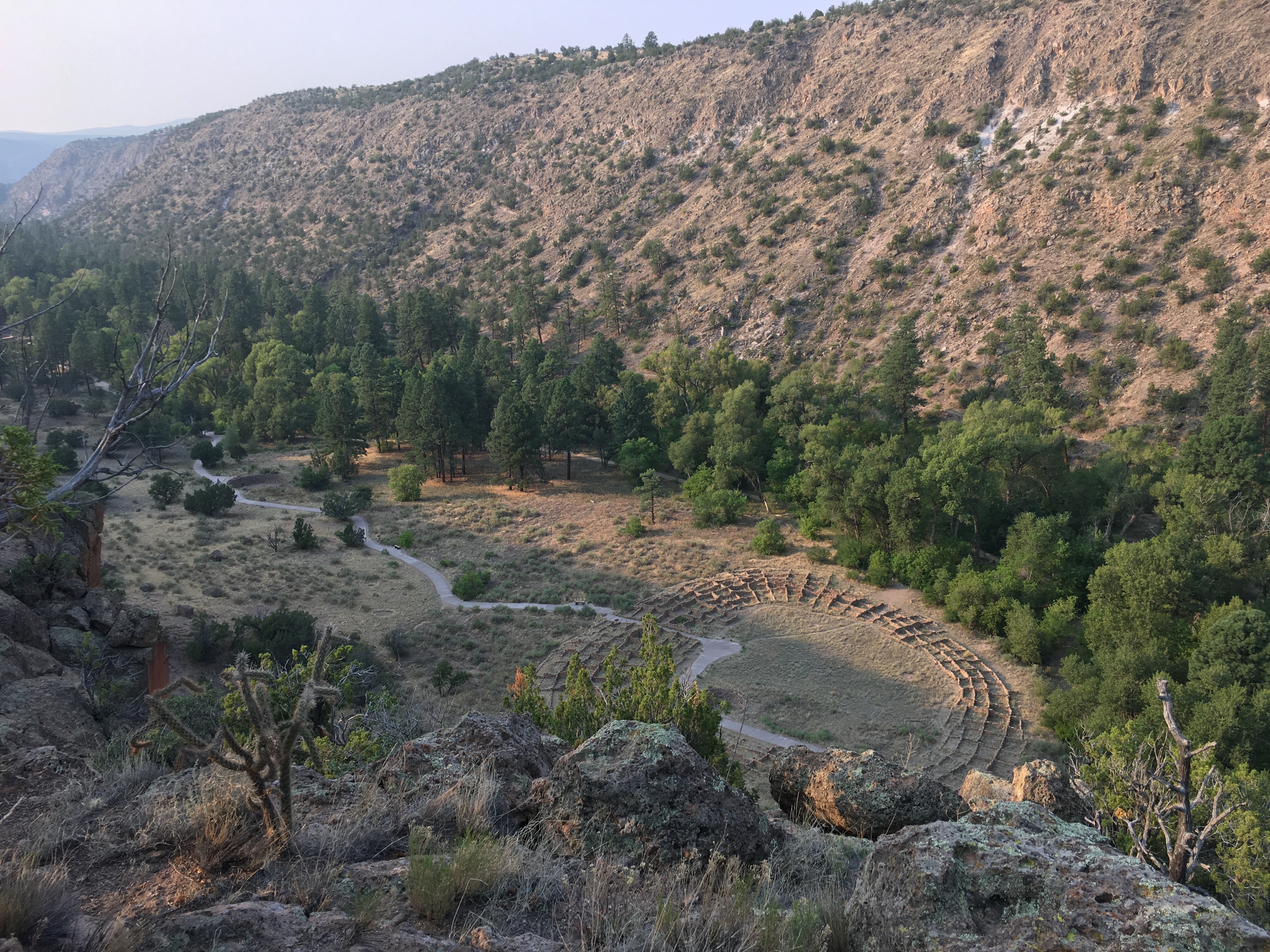
Before the construction of the entrance road in the late 1930's, the Frey Trail ( 1.5 miles one way) was the main route to enter and exit Frijoles Canyon. The trail begins at Juniper Campground and makes its way to the edge of the canyon where it switchbacks down to the canyon (>550' elevation change). The trail provides excellent views of Tyuonyi. Hiking up is a difficult trail at any time, it can be hot in summer as there is little shelter from the sun along the trail. Be sure and always carry plenty of water.
Hiking down is now a wonderful walk with amazing views. Just be sure to bring water. Also during summer (mid May to mid October) hike down the Frey Trail and take the shuttle bus back up to the trailhead. Check at the visitor center for current conditions of the shuttle bus.
Accessibility The Frey Trial is well developed but is steep and mostly uphill. It may be difficult for strollers, people who are not in good physical shape, and is not accessible to wheelchairs. The Frey Trail is especially difficult in the summer months when temperatures are high. We recommend at least on liter of water per hiker.
4.7 mi one way · about 400 ft of climbing · 1,200 ft of descent · 6,188 ft–7,010 ft · native surface · hiking
Hike the Frijoles Canyon & Rim Trail the Park Service's write-up
7-8 Hours · no dogs · entrance fee applies
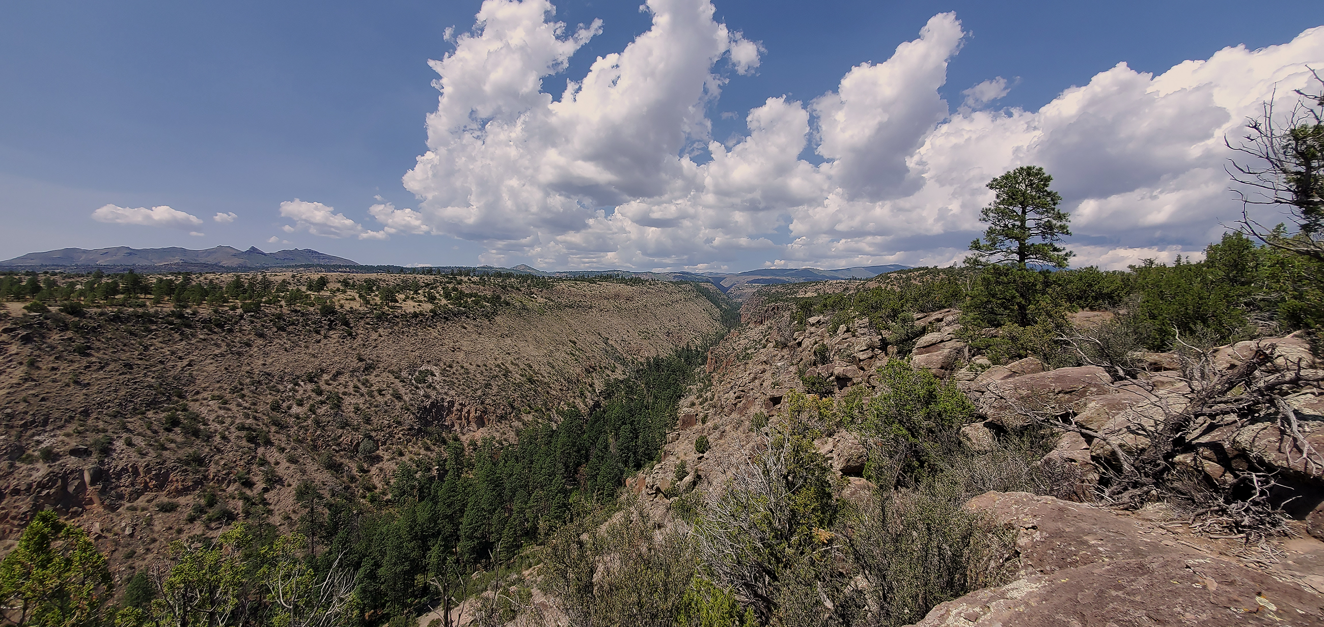
Frijoles Canyon from the rim section of the Frijoles Loop Trail. Photo: NPS / Sally King
The Frijoles canyon trail is an 8 mile one way hike from Ponderosa campground to the Visitor Center. From Ponderosa campground the trail goes into the canyon and turns left along the creek and towards the Visitor Center. Take the time to enjoy the incredible rock formations and relax in the peace and quiet. Be prepared to get your feet wet as there are no bridges, but shallow water.
The Frijoles Rim trail is located on the mesa above Frijoles canyon. From Cottonwood picnic area by the Visitor center, take the Long trail to the Frijoles Rim trail. It connects to the Frijoles canyon trail at the upper crossing of Frijoles creek and allows you to turn this into about a 13 mile loop. This trail gives you expansive views of a good portion of Northern New Mexico and several mountain ranges.
Please note: Ask a ranger at the Visitor Center if you have questions about this trail or condtions.
Accessibility This trail is considered strenuous with significant elevation gain. Service animals can access the trail. This hike is only recommended for people in good physical health. It may take responders several hours to arrive on scene if a medical emergency should occur on this trail.
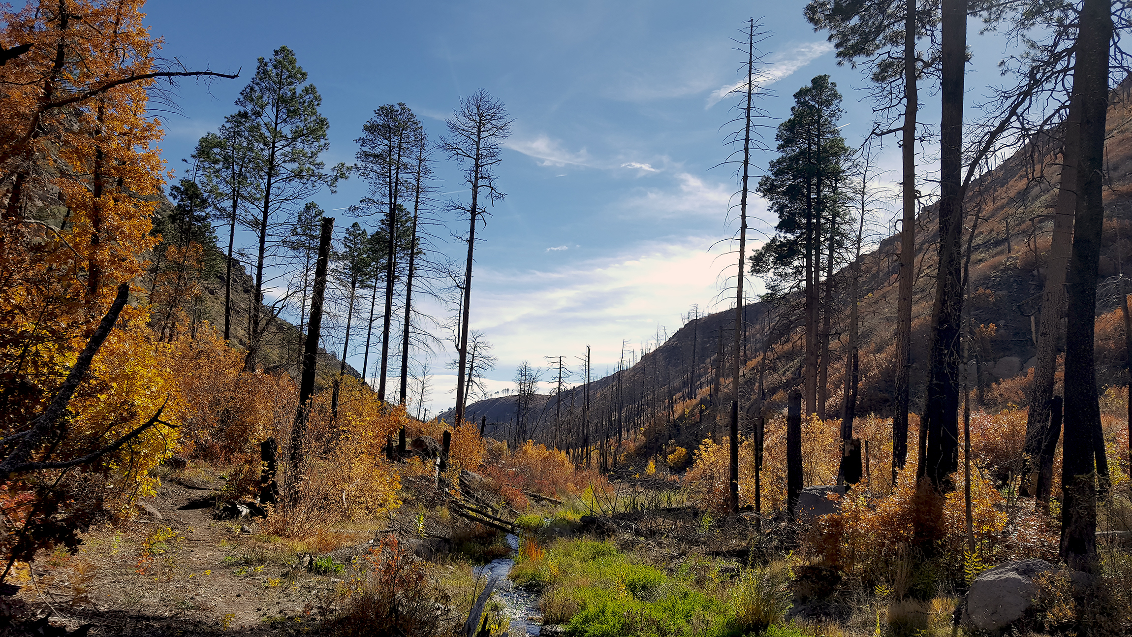
Autumn colors descend on Upper Frijoles Canyon. Photo: NPS / Sally King
Within Bandelier's 33,000 acres there are over 70 miles of trails. Some trails are short easy loops while others are longer and more difficult. Longer backcountry trails often involve hiking more than 12 miles round-trip. Backcountry permits are required and are available at the visitor center for overnight stays in the park's backcountry. Water is not readily available on most backcountry trails. Please check at the visitor center for current conditions before hiking in the backcountry.
Pets, bicycles, and pack animals are not permitted on any park trails.
Frijoles Rim and Canyon Trail
Yapahsi Pueblo
Painted Cave
Accessibility Most backcountry trails are strenuous to hike. Backcountry hikers can expect uneven terrain, elevation gain/loss, climbing, scrambling, and some route-finding. Hiking conditoins and legnths can be difficult for those who are not physically fit or have any physical limitations. Pets are not permitted in the backcountry, however, certified service animals are.
0.5 mi one way · about 100 ft of climbing · 6,066 ft–6,259 ft · asphalt, concrete surface · hiking
ExhibitsPicnic areasVisitor centers
Along the wayCCC Historic DistrictCottonwood Picnic AreaPicnic AreaVisitor Center
TrailheadsBackcountry Access 6,075 ft Drive there · Main Loop Access 6,065 ft Drive there
Hike the Main Pueblo Loop Trail the Park Service's write-up
30-90 Minutes · no dogs · entrance fee applies
Leaving Tyuonyi Village Photo: NPS
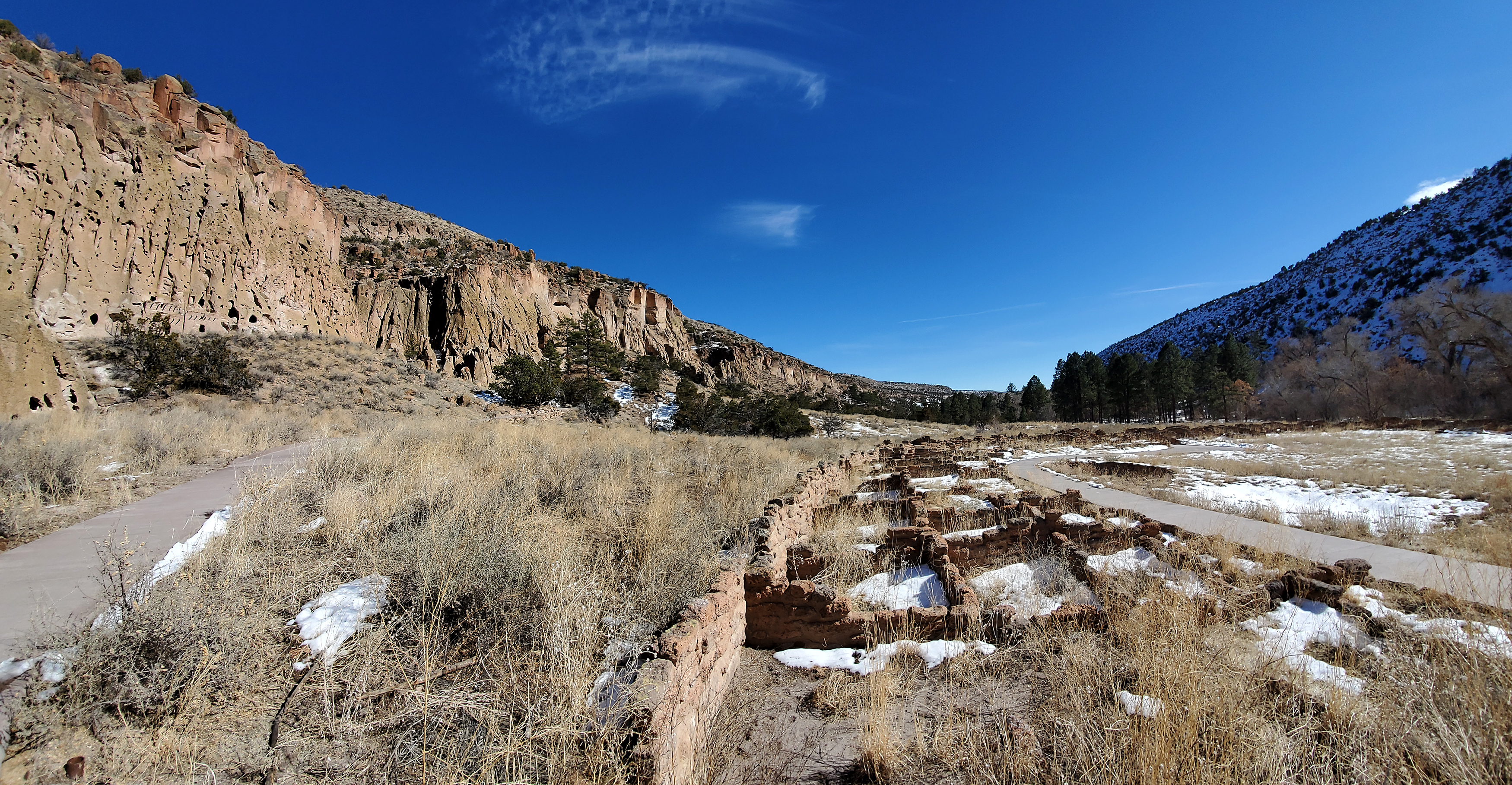
The Pueblo Loop Trail is a 1.4 mile loop trail through archeological sites. Most visitors spend an hour on this trail. Ladders along the trail allow visitors to climb into cavates (small human-carved alcoves). The Pueblo Loop Trail takes you past the Big Kiva , Tyuonyi , Talus House , and Long House .
Pick up a $2 trail guide at the Park Store to learn more about the sites along the trail through descriptions of 21 numbered stops.
The first section of this trail is flatter and may be travelled by wheelchairs and strollers; however, some areas exceed accessibility standards and some areas contain stairs/dropoffs. In winter, this is the only trail on which the snow is removed.
Accessibility Some sections of the Pueblo Loop Trail are flat and on paved surfaces. Although not entirely accessible to wheelchairs and strollers, many visitors enjoy this trail with these devises. The trail includes ladders, narrow spaces, and steps up and down. Ladders to the cavates are optional to hikers.
0.2 mi one way · about 20 ft of climbing · 6,142 ft–6,164 ft · native surface · hiking
Short Trails the Park Service's write-up
1-4 Hours · no dogs · entrance fee applies
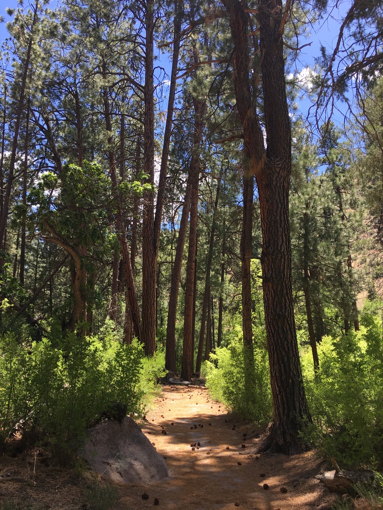
Alcove House trail meanders through tall pine trees. Photo: NPS / Sally King
Within Bandelier's 33,000 acres there are over 70 miles of trail. Some trails are short easy loops while others can encompass many miles and steep rocky switchbacks. There are even two trails designated for cross-country skiing in the winter.
Pets are not permitted on any park trails.
For more information on short trails, click the links below:
Main (Pueblo) Loop Trail
Alcove House
Tsankawi
Falls Trail
Frey Trail
Frijolito Loop Trail
Tyuonyi Overlook Trail
Burnt Mesa Trail
Cerro Grande Route
Alamo Boundary Trail
Accessibility No pets are allowed on park trails, however, service animals are. Some short trails are paved and easy to walk on, while others are on difficult surfaces. These trails may be uneven. rocky, and rugged.
0.3 mi one way · 50 ft of descent · 6,615 ft–6,668 ft · hiking
Hike the Tsankawi Loop Trail the Park Service's write-up
1-3 Hours · no dogs · entrance fee applies
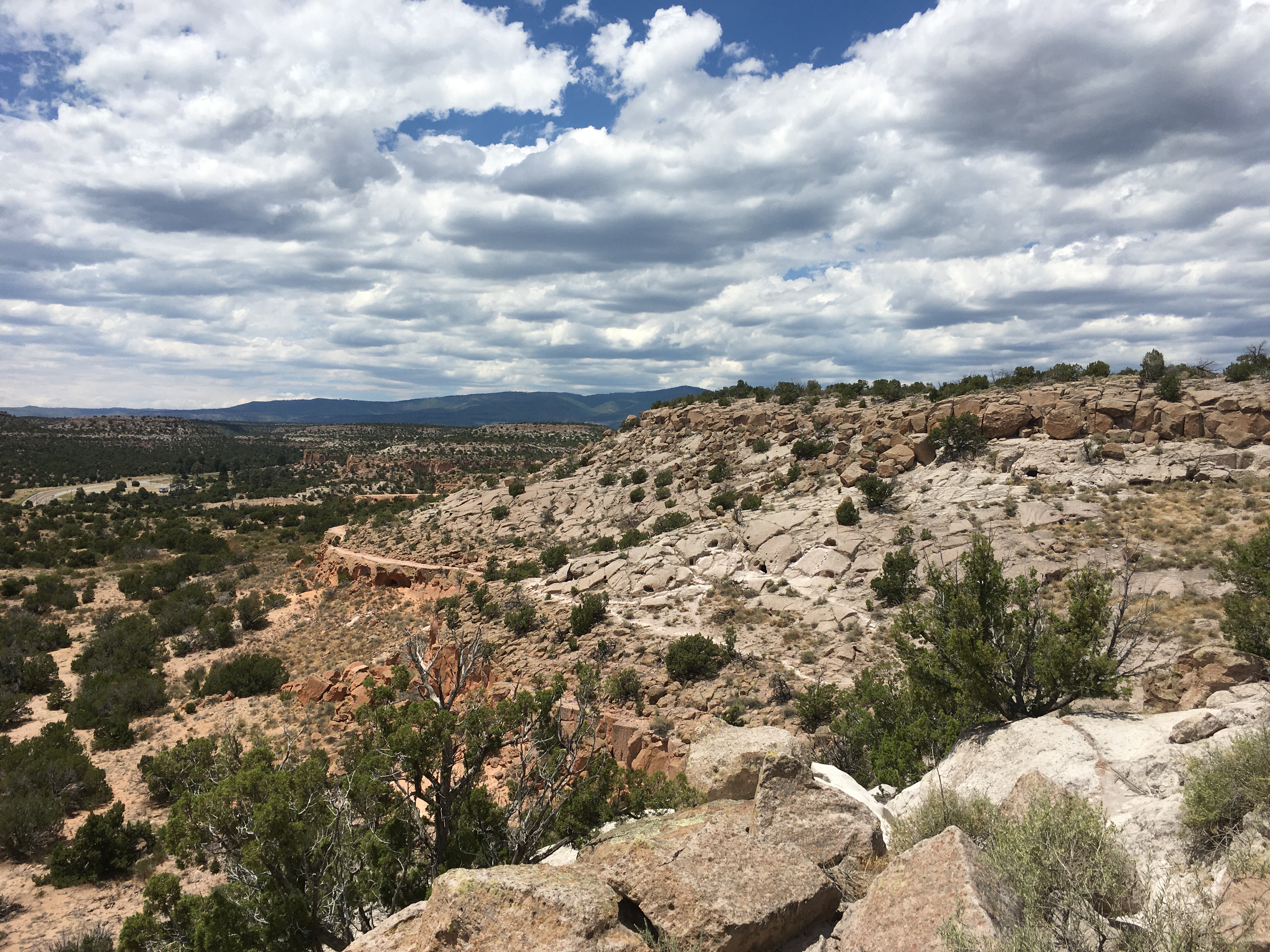
The views go on for miles at Tsankawi. Photo: NPS
The Tsankawi section of Bandelier National Monument is located on State Highway 4 twelve miles from the main section of the park. At Tsankawi you take a 1.5 mile walk along a mesa, viewing cavates, petroglyphs and the Ancestral Pueblo village of Tsankawi. Ladders are a required part of this trail. The trail is very exposed to the elements and should not be taken during localized thunderstorms. Cold, snowy weather can make the trail slippery so extra care should be taken when visiting in winter.
Accessibility The Tsankawi trail contains a series of ladders, narrow passages, drop-offs, and elevation gain/loss. Because of these obstacles, the trail may not be accessible to service animals and people with physical impairments.
Hiking in Bandelier · 1-8 Hours · no dogs Hiking in Bandelier? Find trail recommendations, download maps, and explore the sites in Bandelier National Monument.
The Frijolito Loop Trail · 2-4 Hours · no dogs Find out about hiking the Frijolito Loop trail at Bandelier National Monument.
Tyuonyi Overlook Trail · 2-3 Hours · no dogs Learn about the Tyuonyi Overlook Trail, including roundtrip mileage and where to start the hike.
About these trails
The lines are the National Park Service's public trails layer, the trailheads and the waterfalls, views, peaks and historic places along them the Service's public points of interest, read 2026-10-14 and simplified for the map. The write-ups are the Service's own "things to do", unedited. Heights come from USGS 3DEP through Terrain Tiles on AWS (Mapzen/Tilezen), read along each line and rounded; a short trail on steep ground can be off by a few tens of feet. Closures change: check the park's own site before you go.